IcePenetrating Radar System Variant-1
| Origin | Canada |
|---|---|
| Manufacturer Type | Distributor |
| Origin Category | Imported |
| Model | Variant-1 |
| Pricing | Upon Request |
Overview
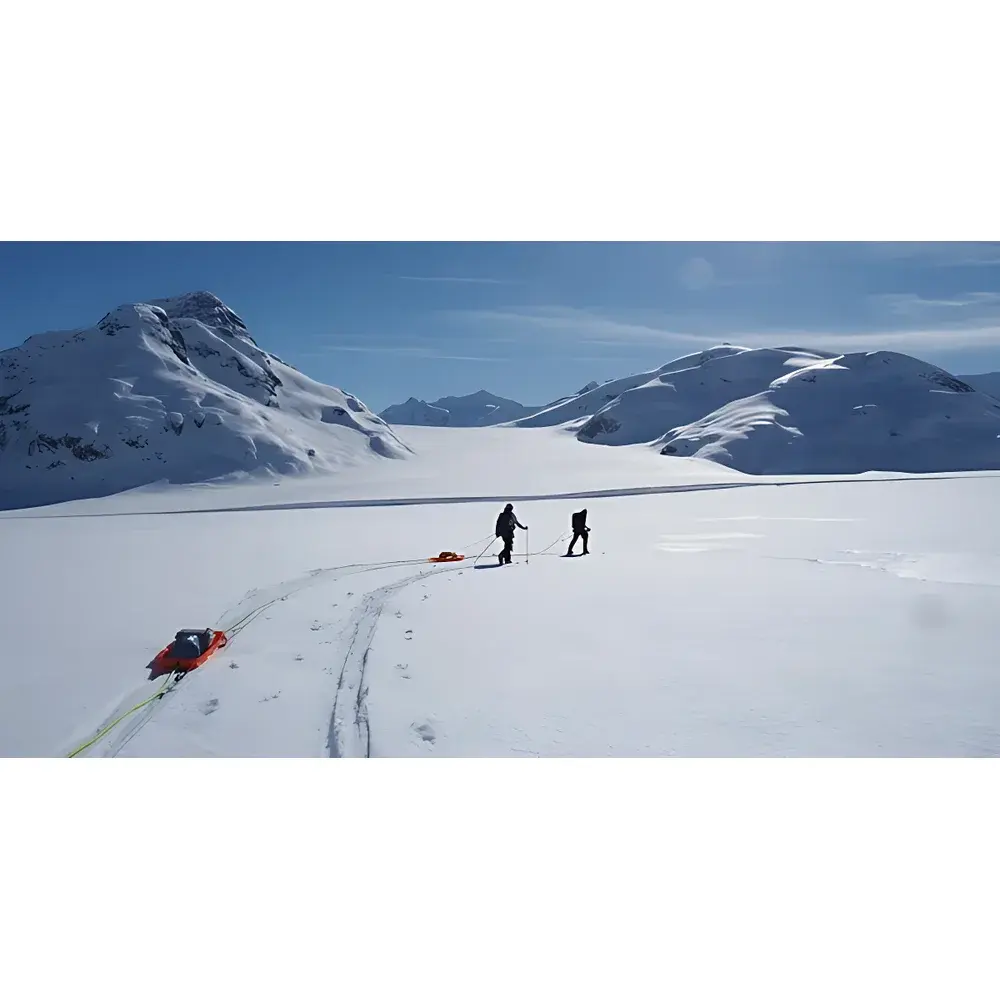
The IcePenetrating Radar System Variant-1 is a ground-based, high-frequency pulsed radar instrument engineered for radio-echo sounding (RES) of glacial and polar ice masses. Operating in the VHF–UHF band (typically 10–600 MHz, configurable per antenna setup), it utilizes coherent pulse compression and time-domain reflectometry to resolve internal ice stratigraphy and detect the ice–bedrock interface. The system adheres to established geophysical RES principles: transmitted electromagnetic pulses propagate through ice at ~0.167 m/ns (dielectric permittivity ε ≈ 3.2), with reflections generated at dielectric contrasts—such as layer boundaries, englacial debris, or subglacial water bodies. In cold, dry polar ice (e.g., Antarctic interior), penetration depths exceed 1,200 m; in temperate or polythermal glaciers with higher attenuation (e.g., Alpine or Arctic outlet glaciers), effective resolution maintains down to 300–500 m depth with sub-meter vertical sampling intervals. Designed for field-deployable operation under extreme environmental conditions (−40 °C to +40 °C), the Variant-1 integrates ruggedized electronics, low-power consumption architecture, and modular signal acquisition for long-duration autonomous or operator-guided surveys.
Key Features
- Modular antenna architecture supporting interchangeable transmit/receive configurations—including dipole, bowtie, and shielded Vivaldi antennas—for optimized performance across ice temperature regimes and survey platforms (ground, ski-tow, or UAV-integrated).
- Re-engineered Nugen-series pulse generator delivering stable, low-jitter nanosecond-scale pulses with adjustable repetition rate (1–10 kHz) and peak power output up to 2 kW (peak), enabling improved signal-to-noise ratio (SNR) in attenuating ice.
- Embedded Processing Unit (EPU) with ARM Cortex-A53 quad-core processor and 2 GB LPDDR4 RAM, enabling real-time pulse stacking, synthetic aperture radar (SAR) focusing, and onboard data compression using lossless LZ4 encoding.
- IP67-rated enclosure with reinforced tubular protective housing for antennas—designed for mechanical stability during ski-tow deployment and resistance to abrasion on snow/ice surfaces.
- Integrated GNSS receiver (GPS + GLONASS + Galileo) with RTK capability (±2 cm horizontal accuracy) synchronized to radar timestamps via PPS signal, ensuring georeferenced trace alignment for GIS integration.
Sample Compatibility & Compliance
The Variant-1 is validated for use across diverse cryospheric media: cold-based polar ice sheets (e.g., East Antarctica), temperate valley glaciers (e.g., Swiss Alps), marine-terminating ice shelves, and seasonal lake ice. It complies with IEC 61000-6-2 (immunity) and IEC 61000-6-3 (emission) standards for industrial environments. Data acquisition workflows support ISO/IEC 17025-aligned documentation practices, including timestamped metadata logging (pulse width, gain settings, antenna separation, temperature-compensated sampling rate), and optional audit-trail export for GLP-compliant reporting. While not certified for aviation use out-of-the-box, custom airframe-integrated variants (Variant-2A) are available under separate engineering agreement and comply with DO-160G Section 21 for vibration and thermal shock testing.
Software & Data Management
Control and post-processing are performed using IceView Pro v4.2—a cross-platform application (Windows/macOS/Linux) built on Qt and Python 3.9. The software provides real-time B-scan visualization, automatic gain control (AGC), migration correction using velocity models (constant, linear, or depth-dependent), and layer-picking tools compliant with the International Glaciological Society (IGS) RES interpretation guidelines. Export formats include SEG-Y Rev 1.0 (with full header compliance), GeoTIFF (for surface DEM overlay), and CSV (trace metadata). All raw data files are stored in HDF5 format with embedded checksums (SHA-256) and versioned schema definitions, facilitating long-term archival and FAIR (Findable, Accessible, Interoperable, Reusable) data management per NSF and ESA policy requirements.
Applications
- Glacier mass balance modeling via ice-thickness distribution mapping and bed topography reconstruction.
- Subglacial hydrology characterization—including identification of basal water channels, thawed/frozen bed patches, and sediment-laden till units.
- Climate proxy extraction from internal layer stratigraphy (e.g., annual layer counting in accumulation zones).
- Infrastructure risk assessment for polar research stations (e.g., detecting near-surface crevasses or ice deformation zones).
- Calibration and validation of satellite-derived ice-sheet elevation products (e.g., ICESat-2 ATL06, CryoSat-2 L2)
FAQ
What is the maximum achievable depth resolution in cold ice?
Vertical resolution is approximately 0.25–0.5 m in cold, low-loss ice (e.g., interior Antarctica), dependent on center frequency and pulse bandwidth. Horizontal resolution is governed by antenna spacing and migration processing fidelity.
Can the system operate autonomously for unattended deployments?
Yes—the Variant-1 supports scheduled acquisition mode with internal lithium-thionyl chloride battery pack (72 h runtime at −25 °C) and optional Iridium short-burst data transmission for status telemetry.
Is firmware update capability supported over-the-air (OTA)?
Firmware updates require local USB connection and are signed with X.509 certificates to ensure integrity and prevent unauthorized modification.
Does the system meet FDA or ISO 13485 requirements?
No—this is a geophysical instrumentation platform, not a medical device. It is not subject to FDA regulation or ISO 13485 certification.
Are antenna calibration certificates provided with shipment?
Yes—each antenna set includes NIST-traceable gain and phase response characterization report measured in an anechoic chamber at 25 °C ambient.
Related Products


