YUSENSE MS600 Multispectral Imaging System
| Brand | YUSENSE |
|---|---|
| Model | MS600 |
| Spectral Range | 400–900 nm |
| Number of Bands | 6 configurable channels |
| Sensor Resolution | 1.2 MP per channel |
| Bit Depth | 12-bit global shutter |
| Interface | Gigabit Ethernet / TTL serial |
| Dynamic Range | High, auto-adaptive exposure control |
| Optical Window | Sapphire |
| Lens | Large-aperture, low-distortion optics |
| Power Supply | 7–30 VDC, 7 W (standby) / 10 W (operational) |
| Onboard Storage | 64 GB microSD card |
| Trigger Modes | External TTL, timed interval, overlap-based geotagging |
| Integrated Sensors | Downwelling Light Sensor (DLS) included |
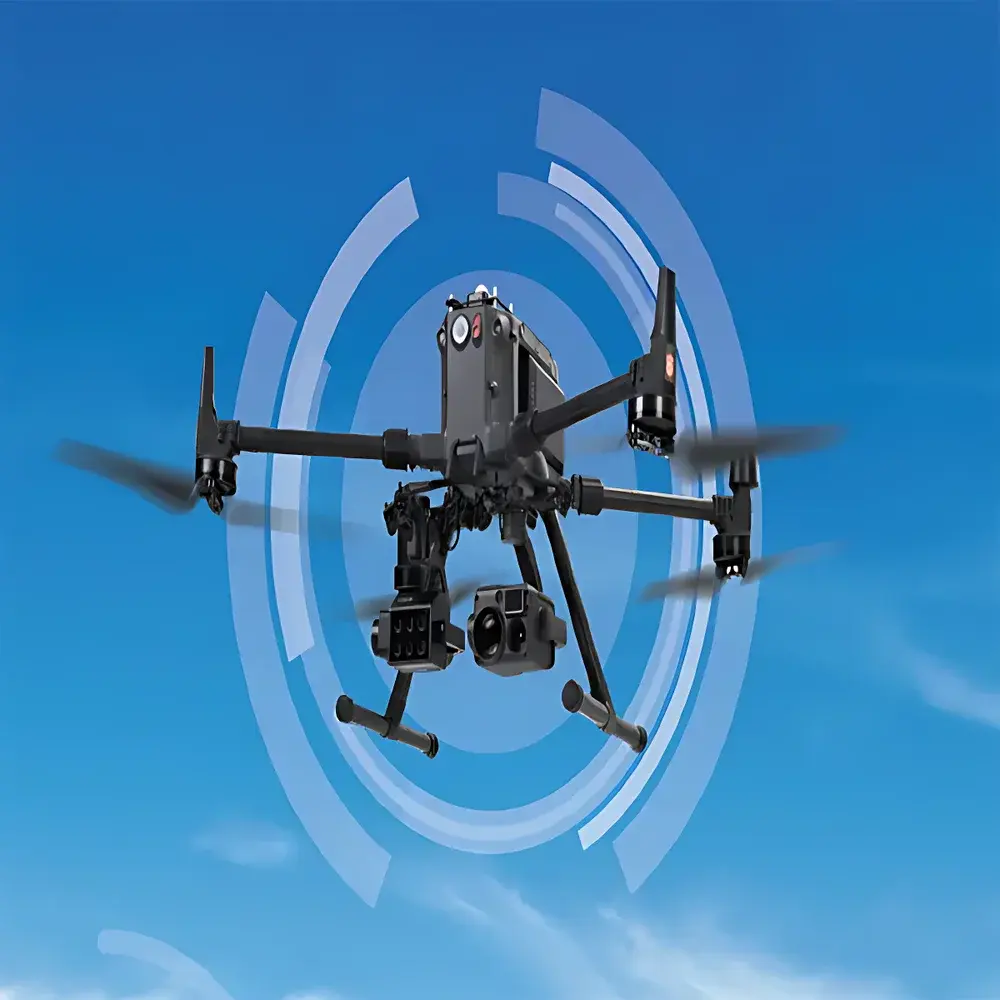
| Platform Compatibility | Multi-rotor & fixed-wing UAVs |
| Compliance | CE, RoHS, FCC Class B |
Overview
The YUSENSE MS600 Multispectral Imaging System is a purpose-engineered remote sensing payload designed for high-fidelity spectral data acquisition in airborne environmental monitoring applications. Built upon a calibrated multi-channel filter wheel architecture, the MS600 operates on the principle of discrete-band spectral sampling—capturing synchronized radiance measurements across six user-selectable narrowband channels within the 400–900 nm range. Unlike broadband RGB or panchromatic imagers, the MS600 enables quantitative reflectance modeling by isolating biophysically meaningful spectral features (e.g., chlorophyll absorption at 680 nm, red-edge transition at 710–730 nm, and water absorption at 850–900 nm). Its 12-bit global shutter sensors eliminate motion blur during high-speed UAV flight, while sapphire optical windows ensure long-term transmission stability under UV exposure and abrasion-prone field conditions. The integrated downwelling light sensor (DLS) provides real-time incident irradiance correction, supporting radiometric calibration traceable to NIST-traceable reference panels.
Key Features
- Configurable 6-channel multispectral acquisition: Select any 6 wavelengths from a library of 17 discrete bands (400–900 nm), enabling application-specific band optimization for vegetation indices (NDVI, NDRE, CIred-edge), water quality parameters (chlorophyll-a, turbidity, CDOM), or mineral identification.
- High-fidelity imaging performance: 1.2 megapixel resolution per channel with true global shutter operation ensures pixel-level synchronization across all bands—critical for accurate co-registration and time-series analysis.
- Robust optical design: Low-distortion, large-aperture lens assembly paired with sapphire front window delivers consistent MTF performance and resistance to environmental degradation over extended deployment cycles.
- Intelligent exposure management: Adaptive dynamic range control adjusts gain and integration time per frame based on scene luminance and DLS input—minimizing saturation in bright canopies and preserving shadow detail in heterogeneous terrain.
- Flexible integration architecture: Gigabit Ethernet interface supports high-throughput image streaming and real-time telemetry; TTL serial port enables hardware-level triggering and synchronization with GNSS/IMU systems.
- Field-deployable power and storage: Operates across 7–30 VDC input range (compatible with standard UAV power buses); onboard 64 GB microSD accommodates >12,000 geotagged multispectral frames per mission.
Sample Compatibility & Compliance
The MS600 is validated for use in open-field, forest canopy, inland waterbody, and urban fringe environments. It complies with ISO 17025-aligned calibration protocols when used with certified reflectance standards (e.g., Labsphere Spectralon® panels). Radiometric accuracy is maintained under GLP-compliant workflows when combined with YUSENSE’s certified calibration certificates (NIST-traceable spectral irradiance sources). Electromagnetic compatibility meets FCC Part 15 Subpart B (Class B) and EU Directive 2014/53/EU (Radio Equipment Directive), ensuring interference-free operation alongside other avionics systems. Mechanical mounting interfaces conform to DJI SkyPort and common UAV OEM specifications (M3 threaded inserts, 30 mm pitch spacing).
Software & Data Management
Raw MS600 data are output as radiometrically corrected 12-bit TIFF stacks, geotagged via embedded GPS timestamps and synchronized with external IMU/GNSS units. YUSENSE’s proprietary YUSense Studio software provides batch processing pipelines compliant with FAO-recommended preprocessing steps: dark current subtraction, vignetting correction, DLS-normalized reflectance conversion, and orthorectification-ready metadata export (EXIF + XMP). Export formats include GeoTIFF, ENVI .hdr/.bin, and CSV time-series for integration into QGIS, ArcGIS Pro, or Python-based analytical frameworks (e.g., scikit-image, rasterio, xarray). Audit trails, user authentication, and version-controlled processing logs support FDA 21 CFR Part 11 compliance in regulated environmental monitoring programs.
Applications
- Precision agriculture: Quantitative crop health assessment via time-series NDVI, NDRE, and PRI; early stress detection (water deficit, nitrogen deficiency, disease onset) at sub-field scale.
- Forestry inventory and disturbance monitoring: Canopy closure estimation, species classification using red-edge and NIR bands, post-fire regeneration tracking.
- Inland water quality assessment: Retrieval of chlorophyll-a concentration, suspended sediment load, and colored dissolved organic matter (CDOM) using empirically tuned band ratios.
- Ecological habitat mapping: Wetland delineation, invasive species detection (e.g., Phragmites australis), and riparian zone health evaluation.
- Environmental compliance monitoring: Pre- and post-construction baseline surveys, landfill leachate plume tracking, and mine reclamation progress validation.
FAQ
What spectral calibration options are available for the MS600?
Factory calibration includes wavelength centering and full-width-at-half-maximum (FWHM) characterization for each selected band. Optional annual recalibration services include absolute radiometric calibration against NIST-traceable integrating sphere sources.
Can the MS600 be operated without a DLS?
Yes—but radiometric accuracy degrades significantly under variable illumination; DLS integration is strongly recommended for quantitative reflectance analysis and cross-mission comparability.
Is firmware upgradable in the field?
Yes. Firmware updates are delivered via microSD card or Ethernet connection and preserve all user-configured band selections and trigger parameters.
Does the system support RTK-GNSS integration?
The MS600 accepts PPS-synced GNSS time stamps and leverages external RTK solutions for centimeter-level georeferencing; no internal RTK module is included.
How is geometric distortion corrected?
Lens distortion coefficients are embedded in image metadata and applied automatically in YUSense Studio; custom calibration targets may be used to refine coefficients for specific flight altitudes or lens variants.
Related Products


