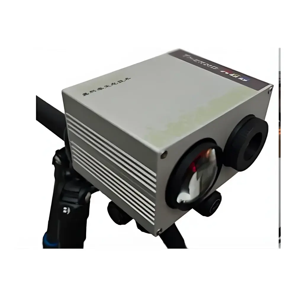
EcoTech Thermo-RGB Integrated Infrared Thermal Imaging System
| Brand | EcoTech |
|---|---|
| Origin | Beijing, China |
| Manufacturer Type | Authorized Distributor |
| Product Origin | Domestic (China) |
| Model | Thermo-RGB Integrated |
| Pricing | Upon Request |
| IR Resolution | 640 × 512 pixels |
| Thermal Sensitivity | 30 mK |
| Temperature Range | −25 °C to +150 °C |
| Accuracy | ±2 °C or ±2% of reading |
| Spectral Band | 7.5–13.5 µm |
| RGB Resolution | 20 MP (configurable to higher) |
| Calibration | Multi-point blackbody calibrated with traceable certificate |
| Fusion Technology | Pixel-level co-registered thermal–visible alignment with four built-in segmentation models and eight combinable algorithms |
Overview
The EcoTech Thermo-RGB Integrated Infrared Thermal Imaging System is an engineered solution for quantitative thermographic phenotyping and multispectral surface analysis in life sciences and agricultural research. Unlike conventional standalone thermal cameras, this system implements synchronized dual-sensor acquisition—simultaneously capturing calibrated long-wave infrared (LWIR) radiometric data (7.5–13.5 µm) and high-resolution visible-light (RGB) imagery—with sub-pixel spatial registration. Its core innovation lies in hardware-level optical alignment and software-defined fusion architecture, enabling physically consistent pixel-to-pixel correspondence between thermal emissivity maps and photometric color data. This eliminates parallax-induced misregistration common in post-hoc image overlay methods, thereby supporting rigorous region-of-interest (ROI)-based thermobiological quantification under field-realistic conditions—including canopy-scale vegetation monitoring, animal surface thermoregulation assessment, and biomedical surface temperature mapping.
Key Features
- Dual-sensor monolithic housing with factory-aligned LWIR microbolometer (640 × 512 resolution) and 20-megapixel RGB sensor—ensuring intrinsic geometric registration without manual calibration drift
- Multi-point blackbody calibration traceable to national standards; includes NIST-traceable certificate for radiometric validity in regulatory-compliant workflows
- Real-time synchronized acquisition engine: simultaneous timestamped thermal and RGB frame capture at configurable frame rates up to 30 Hz
- Four embedded thermal–visible segmentation models (e.g., vegetation index–guided thresholding, edge-aware morphological separation, spectral–thermal joint clustering) with eight modular algorithms for adaptive ROI delineation
- Integrated thermographic analytics: minimum/maximum/mean temperature, histogram distribution, temporal trend extraction per ROI, and emissivity-compensated delta-T calculation
- Comprehensive color space analysis: full L*a*b*, HSV, and HIS transformations with >30 derived chromaticity parameters (e.g., hue angle, saturation variance, lightness gradient, chroma dispersion)
- Structural phenotyping module: automated canopy morphology metrics including projected area, convex hull area, aspect ratio, compactness index, and relative biomass estimation from segmented RGB masks
Sample Compatibility & Compliance
The Thermo-RGB system supports non-contact, label-free measurement across heterogeneous biological surfaces—including leaf epidermis, animal integument, wound margins, soil–plant interfaces, and livestock hides—without requiring reflective markers or thermal contrast agents. Its LWIR band avoids solar glare interference, enabling daytime field deployment. All radiometric outputs comply with ASTM E1933-19 (Standard Test Methods for Measuring and Compensating for Emissivity Using Infrared Imaging Systems) and ISO 18434-1:2008 (Condition monitoring and diagnostics of machines — Thermography — Part 1: General procedures). Data acquisition logs include metadata required for GLP/GMP audit trails: operator ID, GPS coordinates (when integrated), environmental ambient readings (optional external sensor input), shutter time, integration gain, and lens focal length.
Software & Data Management
The native EcoTech ThermoSuite software provides a unified interface for instrument control, real-time visualization, batch processing, and report generation—all in English-language UI (localization available upon request). It supports DICOM export for medical applications and HDF5/NetCDF formats for computational modeling pipelines. Audit trail functionality complies with FDA 21 CFR Part 11 requirements: electronic signatures, immutable acquisition logs, user-access tiering (admin/operator/viewer), and version-controlled algorithm presets. Raw thermal cubes (.tiff with embedded radiometric metadata) and fused GeoTIFFs retain EXIF-compatible geotags and radiometric scaling coefficients for reproducible reprocessing. Batch analysis workflows are scriptable via Python API (included SDK), enabling integration into CI/CD pipelines for high-throughput phenotyping platforms.
Applications
- Plant Phenotyping: Quantifying stomatal conductance proxies via sunlit/shaded leaf temperature differentials; detecting early-stage biotic/abiotic stress through thermal heterogeneity patterns; validating drought-tolerance traits in field-grown germplasm
- Precision Livestock Monitoring: Non-invasive detection of localized inflammation, mastitis onset, or heat stress via udder/ear surface thermograms fused with coat-color anomaly detection
- Medical Surface Thermography: Supporting clinical trials in dermatology and rheumatology by correlating thermal asymmetry with RGB-based lesion boundary mapping
- Ecological Remote Sensing: UAV-mounted deployment for landscape-scale evapotranspiration modeling using fused thermal–visible vegetation indices (e.g., TTVI, CWSI)
- Seed & Germplasm Screening: High-throughput viability assessment in seed banks via metabolic heat signature detection coupled with morphological integrity scoring
FAQ
Is the Thermo-RGB system compatible with third-party drones or robotic platforms?
Yes—mechanical mounting interfaces and electrical trigger protocols follow standard UAV payload specifications (e.g., DJI SkyPort, Pixhawk MAVLink). SDK documentation includes ROS2 node examples for autonomous navigation-integrated thermal mapping.
Can thermal and RGB data be exported separately for independent analysis?
Absolutely. Raw thermal frames (radiometric TIFF), unprocessed RGB images (12-bit linear RAW), and fused overlays are stored as discrete files with identical timestamps and georeferencing metadata.
Does the system support emissivity correction for non-ideal surfaces like waxy leaves or wet fur?
Yes—emissivity tables for common biological materials (leaf cuticles, mammalian skin, soil types) are preloaded; users may define custom ε-values per ROI or apply spatially varying correction masks based on NIR reflectance inputs.
How is spatial accuracy maintained during thermal–visible fusion?
Optical path alignment is performed at assembly using collimated laser interferometry; residual misregistration is <0.3 pixels RMS across the full FOV, verified via NIST-traceable grid targets and reported in the calibration certificate.
Is remote firmware update supported?
Firmware updates are delivered via secure HTTPS channel with SHA-256 signature verification; rollback capability ensures operational continuity during validation-critical deployments.
Related Products


