LiDAR X3 Integrated Mobile Mapping System
| Brand | — |
|---|---|
| Origin | Beijing, China |
| Manufacturer Type | Authorized Distributor |
| Model | LiDAR X3 |
| Quotation | Upon Request |
| Operating Wavelength | 905 nm |
Overview
The LiDAR X3 is a compact, high-integration mobile mapping system engineered for rapid, high-accuracy 3D geospatial data acquisition in dynamic outdoor environments. Built upon time-of-flight (ToF) pulsed laser ranging at 905 nm, the system combines a solid-state scanning LiDAR sensor, a tactical-grade inertial navigation system (INS), and real-time onboard control firmware into a single lightweight payload. Its core architecture follows the principle of tightly coupled GNSS/INS/LiDAR fusion—enabling robust positioning and orientation estimation even during signal-denied conditions such as under dense vegetation canopy or in urban canyons. Designed specifically for utility corridor surveying, power line inspection, and infrastructure monitoring, the LiDAR X3 delivers centimeter-level point cloud accuracy without requiring ground-based base station support—a capability enabled by proprietary cloud-based trajectory correction technology (“Yunji Technology”).
Key Features
- Centimeter-Level Accuracy Without Base Stations: Leverages Yunji cloud trajectory correction to achieve ≤3 cm horizontal and ≤5 cm vertical absolute accuracy in post-processed point clouds—eliminating the need for traditional RTK base stations or CORS network dependency.
- Dual-Antenna Rapid Alignment: Integrates dual GNSS antennas with real-time heading determination, reducing dynamic in-air alignment time to under 60 seconds—significantly improving operational efficiency during UAV-borne missions.
- One-Touch Operational Workflow: Unified hardware interface supports single-button initiation of synchronized data capture across LiDAR, IMU, GNSS, and optional RGB camera—minimizing operator training requirements and field setup overhead.
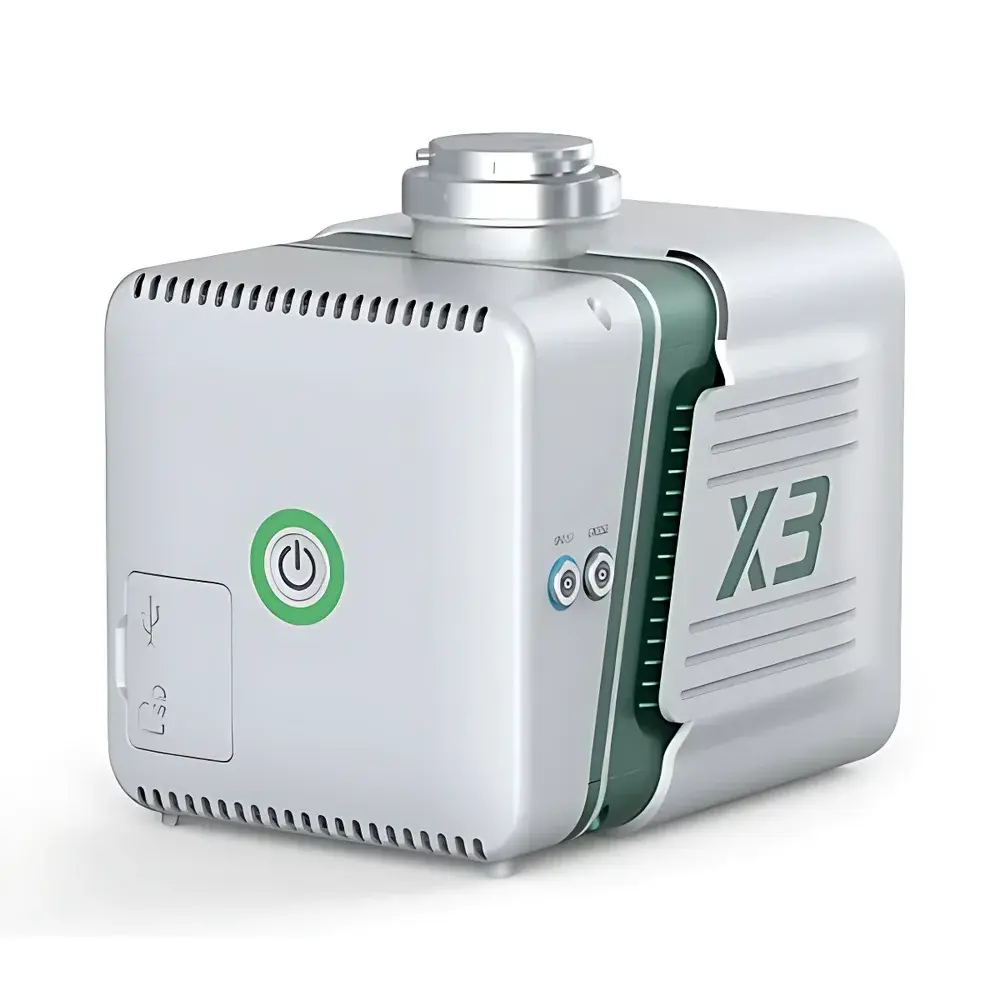
- Ultra-Compact Payload Design: Weighs less than 2.8 kg with dimensions of 185 × 140 × 120 mm; compatible with DJI SkyPort mounting interface for seamless integration onto Matrice 300 RTK and M350 platforms.
- Onboard Real-Time INS/LiDAR Fusion: Embedded FPGA-accelerated processing unit performs continuous GNSS/INS tight-coupling and LiDAR point cloud georeferencing in real time—reducing post-processing latency and enabling near-real-time quality assessment.
Sample Compatibility & Compliance
The LiDAR X3 is optimized for deployment on rotary-wing UAVs operating in Class I–III airspace per ICAO Annex 10 and national civil aviation regulations. Its 905 nm wavelength complies with IEC 60825-1:2014 Class 1 eye-safety standards under all operational configurations. The system meets electromagnetic compatibility (EMC) requirements per EN 61000-6-2 and EN 61000-6-4, and its environmental rating conforms to IP54 for dust and water resistance during typical field operations. Data output formats—including LAS 1.4, E57, and proprietary binary POS files—are structured to support interoperability with industry-standard GIS and CAD workflows. While not certified under FDA 21 CFR Part 11 or ISO 17025, the system’s metadata logging, audit trail generation in LiCloud, and version-controlled processing pipelines align with GLP-aligned documentation practices for engineering survey applications.
Software & Data Management
The LiDAR X3 ecosystem includes three integrated software modules: LiPlan (mission planning and flight simulation), LiCloud (cloud-based collaborative data ingestion, trajectory refinement, and multi-user project management), and LiPowerline (domain-specific analytics engine for power transmission corridor risk assessment). LiCloud implements role-based access control (RBAC), encrypted HTTPS data transfer, and immutable log records for all processing events—supporting traceability requirements in regulated infrastructure audits. LiPowerline applies rule-based classification algorithms (e.g., conductor sag analysis, vegetation encroachment detection, tower component segmentation) trained on utility-scale datasets. All software components generate PDF and HTML reports compliant with State Grid Corporation of China (SGCC) Q/GDW 12033–2020 reporting templates, with optional export to ESRI File Geodatabase or AutoCAD Civil 3D formats.
Applications
- Electric utility corridor mapping and clearance violation detection
- High-voltage transmission line inspection and thermal corridor modeling
- Railway and highway right-of-way monitoring
- Forestry biomass estimation and canopy structure analysis
- Urban digital twin foundation data collection for smart city infrastructure management
- Post-disaster rapid topographic change detection (e.g., landslide volume estimation, flood inundation modeling)
FAQ
Does the LiDAR X3 require a local GNSS base station for operation?
No. It uses Yunji cloud-based trajectory correction to deliver centimeter-level accuracy without ground base stations.
What UAV platforms are officially supported?
DJI Matrice 300 RTK and M350 with SkyPort interface; third-party integrations require validation via SDK documentation.
Is raw IMU/GNSS data accessible for custom post-processing?
Yes—binary INS logs and RINEX-compliant GNSS observables are exported alongside point cloud data.
Can LiPowerline generate automated regulatory compliance reports?
Yes, it produces SGCC Q/GDW-compliant reports with embedded metadata, QA/QC metrics, and georeferenced annotation layers.
What is the maximum operational altitude and speed?
Certified for up to 500 m AGL and forward speeds up to 15 m/s under nominal atmospheric conditions.
Related Products


