AZUP BRDF Autonomous UAV Measurement Software AZ-BRDF
| Brand | AZUP |
|---|---|
| Origin | Beijing, China |
| Manufacturer Type | Original Equipment Manufacturer (OEM) |
| Product Category | Domestic |
| Model | AZ-BRDF |
| Pricing | Upon Request |
| Software Type | Spectral Data Acquisition & Bidirectional Reflectance Distribution Function (BRDF) Workflow Management |
Overview
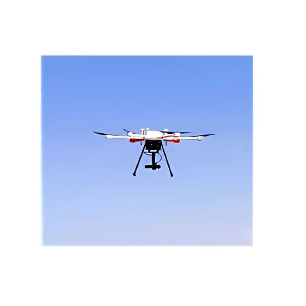
AZUP BRDF Autonomous UAV Measurement Software (Model AZ-BRDF) is a domain-specific ground control station (GCS) application engineered for rigorous, repeatable acquisition of bidirectional reflectance distribution function (BRDF) data using unmanned aerial vehicles. Unlike generic flight planning tools, AZ-BRDF implements a physics-informed trajectory engine that computes optimal multi-angle observation paths—accounting for solar geometry, surface normal orientation, sensor field-of-view constraints, and aircraft kinematic limits—to satisfy the angular sampling density and viewing geometry requirements defined in ISO 18434-2, ASTM E2597, and CEOS BRDF validation protocols. The software integrates natively with AZUP’s proprietary gimbal control firmware and spectral payload drivers, enabling synchronized, time-stamped capture of radiometrically calibrated hyperspectral or multispectral imagery across prescribed incident–exit angle pairs. It operates as a standalone Windows-based application compatible with common UAV platforms (e.g., DJI Matrice 300 RTK, Autel EVO II Dual), requiring no third-party middleware or cloud dependency.
Key Features
- BRDF-Specific Mission Planning Engine: Generates compliant observation sequences—including principal plane, conical, and full hemispherical sampling patterns—based on user-defined solar zenith, azimuth, and target coordinates.
- Automated Gimbal Synchronization: Direct low-level control of AZUP-developed 3-axis stabilized gimbals to maintain precise line-of-sight alignment during dynamic flight, compensating for roll/pitch/yaw in real time.
- KML/KMZ Import & Georeferenced Task Layering: Supports one-click import of geospatial boundary files; overlays flight corridors, no-fly zones, and terrain elevation models (DEM) for constraint-aware path optimization.
- Real-Time Telemetry Dashboard: Displays live GPS position, battery voltage, IMU status, gimbal orientation error (< ±0.1°), and payload health metrics with configurable alert thresholds.
- Firmware-Integrated Safety Protocols: Enforces programmable return-to-home (RTH) altitude, maximum operational ceiling, geofence boundaries, and failsafe landing triggers aligned with ICAO Annex 2 and national civil aviation authority guidelines.
- Onboard Metadata Embedding: Writes EXIF/XMP tags containing solar irradiance model outputs (e.g., MODTRAN-derived direct/diffuse components), viewing geometry vectors, and calibration coefficients directly into image headers.
Sample Compatibility & Compliance
AZ-BRDF supports integration with spectroradiometers operating in VNIR (350–1000 nm) and SWIR (900–2500 nm) bands, including AZUP’s own AISA Eagle+Whisper and custom OEM payloads equipped with NIST-traceable radiometric calibration. All generated BRDF datasets comply with the metadata schema specified in NASA’s Land Product Validation Subgroup (LPVS) standards and are structured for direct ingestion into ESA’s BEAM/Visat or NASA’s ENVI BRDF Toolbox. The software adheres to ISO/IEC 17025:2017 requirements for measurement traceability and includes audit-ready log files documenting every flight parameter change, operator login session, and calibration event timestamp.
Software & Data Management
Data output is organized in hierarchical folder structures conforming to the CEOS BRDF Data Format Specification v3.1: raw imagery (GeoTIFF), angular metadata (CSV/JSON), and summary reports (PDF). All logs are digitally signed and append-only, satisfying FDA 21 CFR Part 11 electronic record integrity criteria when deployed in GLP-compliant environmental monitoring workflows. Batch processing modules support radiometric normalization, geometric rectification using RTK-GNSS PPK solutions, and BRDF model fitting (e.g., Ross-Thick/Li-Sparse, Rahman-Pinty-Verstraete). Export options include NetCDF-4 with CF-1.8 conventions for interoperability with Python (xarray), MATLAB, and R statistical environments.
Applications
- Land Surface Reflectance Validation for Sentinel-2, Landsat 9, and GEDI missions
- Albedo and anisotropy characterization of agricultural canopies under varying phenological stages
- BRDF correction development for airborne LiDAR waveform analysis in forest structure modeling
- Validation of radiative transfer models (e.g., 6S, libRadtran) over heterogeneous urban surfaces
- Time-series BRDF monitoring of post-wildfire vegetation recovery and soil exposure dynamics
FAQ
Does AZ-BRDF require internet connectivity during flight operations?
No—mission plans are fully downloaded to the onboard controller; telemetry and image storage occur locally. Internet access is only needed for initial license activation and optional firmware updates.
Can AZ-BRDF be used with non-AZUP gimbal systems?
Only AZUP-branded gimbals with firmware version ≥V2.4.1 are supported due to proprietary command protocol encryption and closed-loop attitude control integration.
Is raw data export compatible with ENVI or QGIS?
Yes—GeoTIFF outputs include full GDAL-compatible georeferencing and band-specific wavelength metadata; CSV angular logs are UTF-8 encoded with RFC 4180 compliance.
How is software validation performed for regulated environments?
AZUP provides IQ/OQ documentation packages, including installation verification checklists, functional test scripts, and traceability matrices linking each feature to ISO/IEC 17025 clause requirements.


