AERO FSAR-mX Miniature Airborne Synthetic Aperture Radar System
| Brand | AERO |
|---|---|
| Origin | Beijing, China |
| Manufacturer Type | Authorized Distributor |
| Product Origin | Domestic (China) |
| Model | FSAR-mX |
| Pricing | Available Upon Request |
| Operating Band | X-band (9.6 GHz center frequency) |
| Polarization | Dual-pol (HH/HV or VV/VH configurable) |
| Platform Integration | UAV-mounted, fixed-wing & rotary-wing compatible |
| Data Output | Raw IQ data (complex baseband), Level 1 SLC products |
| Resolution | <0.3 m range × <0.5 m azimuth (depending on altitude and integration time) |
| Scan Range | Up to 8 km swath width (typical at 1,200 m AGL) |
| Weight | ≤4.2 kg (including enclosure and mounting interface) |
| Power Consumption | ≤45 W (28 VDC input) |
| Interface | Gigabit Ethernet + GPIO sync trigger |
| Environmental Rating | IP65 (enclosure), -20°C to +60°C operational |
Overview
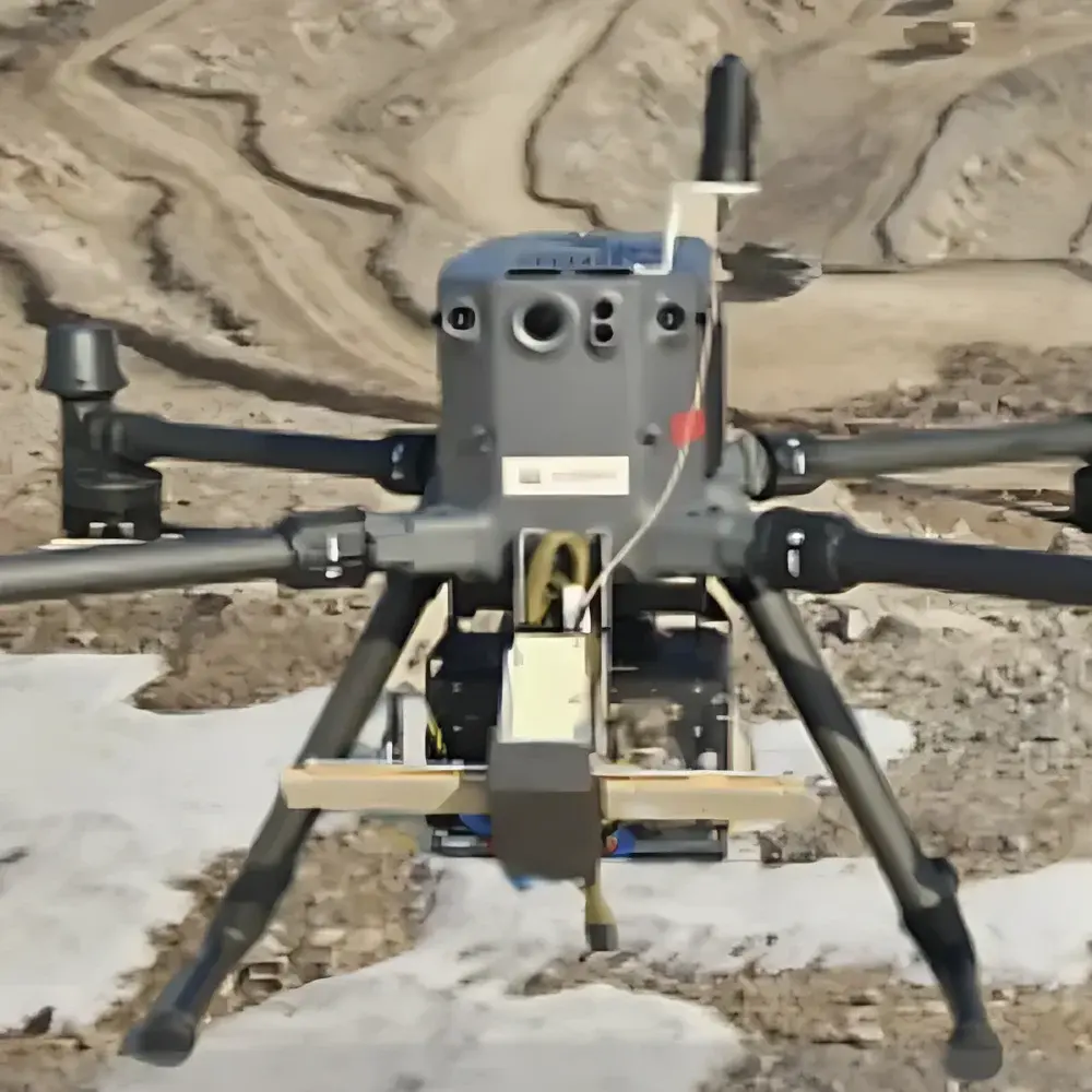
The AERO FSAR-mX is a compact, lightweight, and high-performance airborne synthetic aperture radar (SAR) system engineered for integration onto small unmanned aerial vehicles (UAVs), light aircraft, and vertical take-off and landing (VTOL) platforms. Unlike passive optical or infrared sensors, the FSAR-mX operates in the active microwave domain—transmitting coherent X-band pulses (center frequency: 9.6 GHz) and coherently processing the backscattered echoes to synthesize an effective antenna aperture several meters long. This enables high-resolution, all-weather, day-and-night imaging independent of solar illumination or atmospheric visibility. The system implements stripmap SAR mode with real-time motion compensation using integrated high-accuracy inertial navigation system (INS)-aided GPS data, ensuring geometric fidelity and radiometric stability across variable flight dynamics. Its design prioritizes low SWaP-C (Size, Weight, Power, and Cost), making it suitable for persistent surveillance, terrain mapping, infrastructure monitoring, and rapid-response reconnaissance missions where payload constraints are critical.
Key Features
- Compact X-band SAR architecture optimized for UAV deployment: total mass ≤4.2 kg, volume <12 L, and peak power draw <45 W
- Coherent dual-polarization capability (HH/HV or VV/VH) supporting polarimetric scattering analysis and target discrimination
- Raw IQ data acquisition at 12-bit resolution with programmable sampling rate (up to 200 MS/s) and configurable pulse repetition interval (PRI)
- Onboard real-time motion compensation using synchronized INS/GNSS telemetry (100 Hz update rate, ≤0.01° attitude accuracy)
- Integrated thermal management and ruggedized aluminum housing rated IP65 for operation in rain, dust, and temperature extremes (–20°C to +60°C)
- Plug-and-play interface via Gigabit Ethernet with IEEE 1588 PTP time synchronization and hardware-triggered acquisition control
Sample Compatibility & Compliance
The FSAR-mX is compatible with Class I–III UAV platforms (e.g., DJI Matrice 300 RTK, Quantum Systems Trinity F90+, or custom VTOL airframes) equipped with standard 28 VDC power buses and GNSS/INS systems meeting RTCA DO-229D or ETSO-C145c positioning accuracy requirements. It supports both single-pass and repeat-pass interferometric configurations. All firmware and embedded signal processing modules comply with IEC 61000-6-2 (immunity) and IEC 61000-6-4 (emissions) standards. Data handling workflows adhere to ISO/IEC 27001-aligned secure storage protocols; raw data files conform to the CEOS SAR Data Format (SAR-DIF) v3.0 specification for interoperability with open-source processors such as ISCE2 and SNAP.
Software & Data Management
The FSAR-mX is delivered with AERO SAR Studio—a cross-platform (Windows/Linux) ground processing suite supporting near-real-time focusing (Range-Doppler and Omega-K algorithms), radiometric calibration, geocoding, and orthorectification. Processed outputs include Single-Look Complex (SLC), Detected Ground Range (GRD), and GeoTIFF-embedded DEM-ready imagery. The software includes built-in audit trail logging compliant with GLP principles and supports optional 21 CFR Part 11-compliant electronic signatures when deployed in regulated environmental monitoring programs. Raw data is stored in HDF5 format with embedded metadata (sensor geometry, platform state vectors, RF parameters), enabling traceable reprocessing and third-party algorithm validation.
Applications
- High-resolution topographic mapping in cloud-prone or forested regions where optical sensors fail
- Change detection for landslide monitoring, subsidence analysis, and post-disaster damage assessment
- Maritime surveillance including vessel detection, oil spill characterization, and ice floe tracking
- Infrastructure integrity inspection (bridges, pipelines, power lines) using interferometric coherence analysis
- Defense and security applications requiring covert, weather-independent reconnaissance under degraded visual conditions
- Scientific campaigns involving polarimetric SAR (PolSAR) for soil moisture estimation, crop classification, and wetland delineation
FAQ
Does the FSAR-mX support spotlight SAR mode?
No—the FSAR-mX operates exclusively in stripmap mode to maintain consistent real-time processing latency and minimize onboard computational load. Spotlight functionality requires extended dwell time and higher data throughput not supported by its current architecture.
Can raw IQ data be streamed in real time over Ethernet?
Yes—Gigabit Ethernet supports continuous streaming of compressed IQ data (with optional lossless Huffman encoding) at up to 150 MB/s sustained bandwidth. Latency is bounded to <100 ms end-to-end under standard network configuration.
Is the system certified for civil aviation use in EASA or FAA jurisdictions?
The FSAR-mX carries EC Declaration of Conformity per EU Directive 2014/53/EU (RED) and complies with EN 301 489-1/-17 for radio equipment. Formal STC or TSO authorization is platform-dependent and must be coordinated with the host aircraft’s certification authority.
What level of technical support and firmware updates are provided?
AERO provides remote engineering support, annual firmware revision cycles (with documented change logs), and access to a secure customer portal hosting SDK documentation, calibration reports, and SAR processing tutorials.


