Agrowing AMS-14 Multispectral Imaging System
| Brand | Agrowing |
|---|---|
| Origin | Israel |
| Manufacturer Type | Authorized Distributor |
| Origin Category | Imported |
| Model | AMS-14 |
| Spectral Channels | 14 (405, 430, 450, 490, 525, 550, 560, 570, 630, 650, 685, 710, 735, 850 nm) |
| Channel Bandwidth | 25 nm |
| Peak Transmission | >95% per channel |
| Spatial Resolution per Channel | 7.5 MP (3072 × 2448) |
| Optical Distortion | <1% |
| Detector Architecture | Monolithic Large-Area CMOS Sensor |
| Synchronization | Full-frame simultaneous acquisition across all 14 bands |
| Compliance | CE, RoHS, ISO 9001-certified manufacturing environment |
Overview
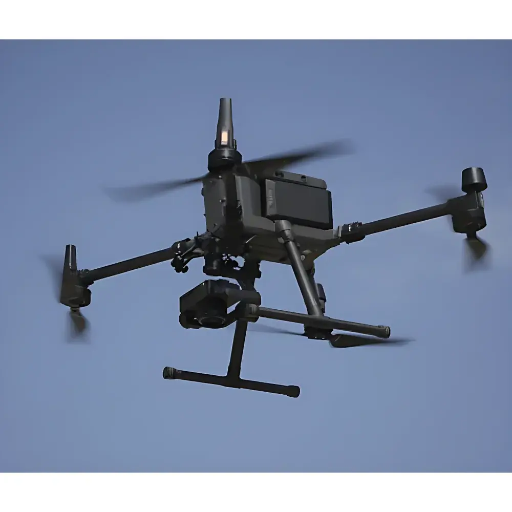
The Agrowing AMS-14 Multispectral Imaging System is an industrial-grade, monolithic-sensor-based multispectral imager engineered for scientific-grade spectral fidelity and spatial consistency in field-deployable and laboratory-integrated applications. Unlike conventional multi-camera or filter-wheel architectures—where inter-channel misregistration, temporal asynchrony, and detector response non-uniformity compromise quantitative analysis—the AMS-14 employs a single, high-fill-factor, back-illuminated CMOS sensor coupled with a precisely aligned 14-channel interference filter mosaic. This architecture ensures pixel-level geometric registration (<0.25-pixel RMS misalignment), identical exposure timing, and uniform quantum efficiency across all bands. The system operates on the principle of snapshot multispectral imaging: all 14 spectral bands are captured simultaneously in a single integration cycle, eliminating motion-induced artifacts and enabling real-time deployment on UAVs, robotic platforms, and fixed-mount agricultural monitoring stations. With its <1% optical distortion, calibrated radiometric response, and factory-traceable spectral transmittance profiles, the AMS-14 meets foundational requirements for quantitative remote sensing validation, spectral index derivation (e.g., NDVI, PRI, MCARI), and supervised machine learning model training where spectral stability and spatial reproducibility are non-negotiable.
Key Features
- Monolithic 14-band sensor architecture eliminates inter-detector variability and channel misregistration
- Simultaneous full-frame acquisition across all 14 narrowband channels (FWHM = 25 nm)
- 7.5 MP resolution per spectral band (3072 × 2448 pixels), delivering >18 Gpixels total spectral data per frame
- Peak transmission >95% at center wavelength for each band; spectral edge roll-off optimized for minimal crosstalk
- Ultra-low optical distortion (<1%) enabled by precision-aspheric lens design and telecentric illumination path
- Integrated hardware trigger interface (TTL/RS-422) for synchronization with external sensors, lighting, or motion control systems
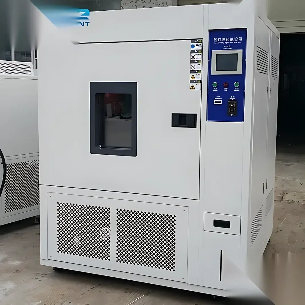
- Ruggedized aluminum housing rated IP54 for outdoor operation under variable humidity and temperature conditions (–10°C to +50°C)
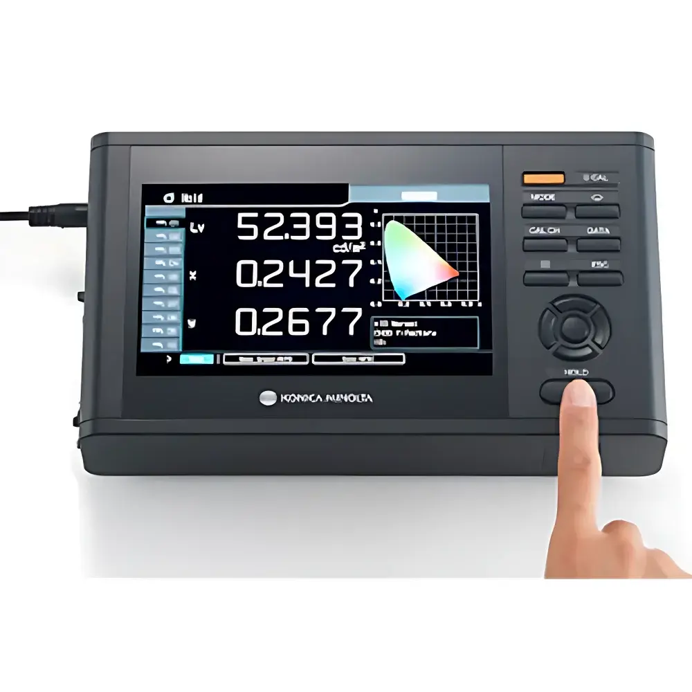
- Factory-calibrated radiometric response with NIST-traceable reference sources and spectral irradiance standards
Sample Compatibility & Compliance
The AMS-14 is designed for non-contact, reflectance-based spectral measurement of planar and quasi-planar surfaces at working distances from 0.3 m to 50 m (depending on lens configuration). It supports standardized reflectance calibration via certified Spectralon® panels (99% reflectance, 250–2500 nm) and enables absolute reflectance quantification under controlled illumination (e.g., D65 LED array or natural daylight with cosine-corrected diffuser). The system complies with ISO 17025-accredited calibration practices for optical instrumentation and adheres to ASTM E275, ASTM E308, and ISO 11664-3 for spectral data reporting. Its firmware and acquisition software support audit-ready metadata embedding—including GPS timestamp, IMU orientation, exposure parameters, and environmental sensor inputs—facilitating GLP-compliant data capture in regulated agricultural research and environmental monitoring programs.
Software & Data Management
The AMS-14 ships with Agrowing SpectraStudio v4.x—a cross-platform (Windows/Linux) application supporting raw DN conversion, radiometric calibration, spectral cube generation (BIL/BIP format), and batch processing via Python API (PyAMS). All acquired data include embedded EXIF-like metadata compliant with XMP 1.0 and FAIR principles (Findable, Accessible, Interoperable, Reusable). SpectraStudio supports FDA 21 CFR Part 11–compliant user authentication, electronic signatures, and immutable audit trails for critical operations (e.g., calibration updates, ROI definition, export events). Export formats include ENVI-compatible .hdr/.dat, GeoTIFF with georeferencing tags, and HDF5 for high-throughput ML pipeline ingestion. Integration with MATLAB, ENVI, QGIS, and TensorFlow/PyTorch environments is validated through documented SDKs and CI/CD-tested wrappers.
Applications
- Precision agriculture: Early detection of nitrogen deficiency, water stress, and fungal infection via spectral indices (e.g., NDRE, CCI, SIPI)
- Forestry inventory: Species classification, canopy health assessment, and biomass estimation using red-edge and NIR bands
- Environmental monitoring: Wetland vegetation mapping, algal bloom detection in inland waters, and soil organic carbon proxy modeling
- Controlled-environment agriculture: Real-time phenotyping in vertical farms and growth chambers with automated anomaly detection
- Post-harvest quality grading: Bruise, rot, and sugar content estimation in fruits and vegetables using visible-NIR spectral signatures
- Academic research: Validation of radiative transfer models (e.g., PROSAIL), development of hyperspectral emulation algorithms, and spectral library expansion
FAQ
Does the AMS-14 require radiometric recalibration in the field?
No—each unit undergoes end-to-end radiometric calibration at the manufacturer’s ISO 17025-accredited facility using NIST-traceable standards. Field recalibration is optional and supported via onboard shutter and integrated reference panel routines.
Can the AMS-14 be mounted on a drone platform?
Yes—the system’s weight (≤1.8 kg), low power consumption (12 V DC, ≤15 W), and TTL-triggered synchronization make it compatible with Class II and III UAVs. Vibration-damped mounting kits and GNSS/IMU fusion modules are available as OEM options.
Is spectral data export compatible with ENVI or ArcGIS?
Yes—native ENVI BIL/BIP export with wavelength-defined header files is standard. GeoTIFF output includes UTM projection support and RPC metadata for orthorectification in Pix4D, Agisoft Metashape, and ArcGIS Pro.
What is the minimum integration time per frame?
The shortest programmable exposure is 10 µs, enabling high-speed motion capture without motion blur when paired with strobed illumination.
How is spectral crosstalk mitigated in the 14-channel mosaic?
Crosstalk is minimized through steep-edge, hard-coated interference filters (OD >6 beyond passband) and proprietary anti-reflection coatings on sensor microlenses—validated via monochromator-based spectral response profiling pre-shipment.