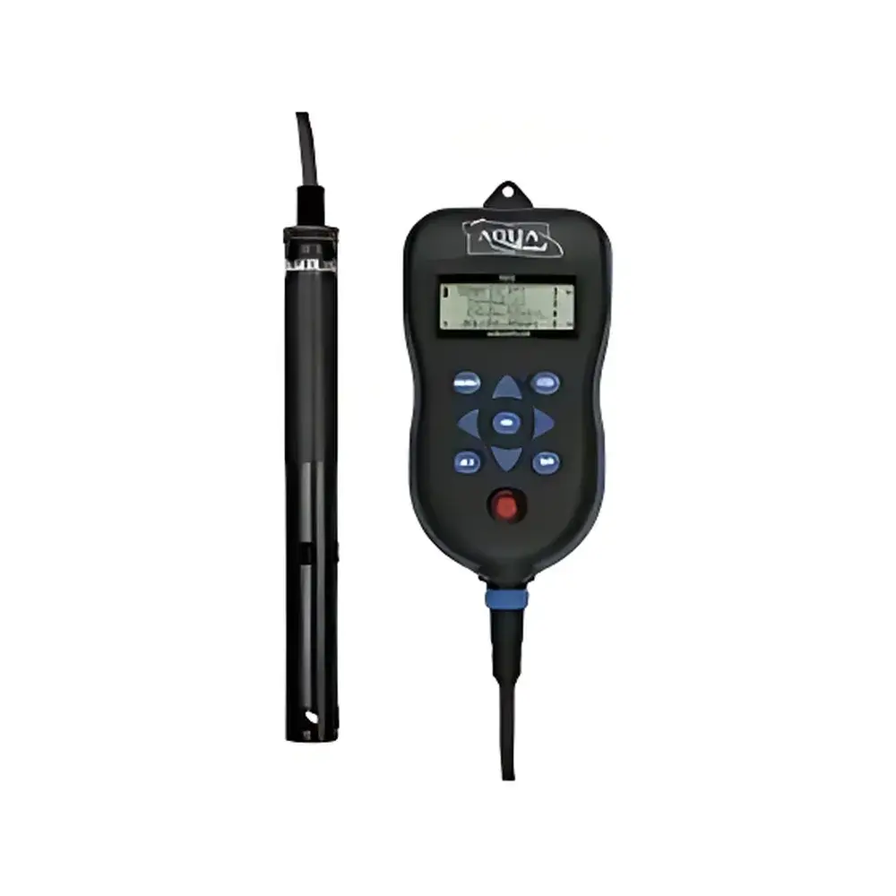
AQUAREAD AquaPlus Optical Fluorescence Dissolved Oxygen Meter
| Brand | AQUAREAD |
|---|---|
| Origin | United Kingdom |
| Model | AquaPlus |
| Instrument Type | Portable |
| Measurement Principle | Optical Fluorescence Quenching |
| DO Range | 0–500.0% saturation / 0–50.00 mg/L |
| Accuracy | ±1% of reading (0–200% / 0–20 mg/L), ±10% of reading (200–500% / 20–50 mg/L) |
| Repeatability | ±0.05% |
| Detection Limit | ±2 ppb (O₂) |
| Temperature Range | −5 °C to +50 °C |
| Conductivity Range | 0–200 mS/cm (auto-ranging across three scales) |
| Salinity Range | 0–70.00 PSU |
| GPS | Integrated receiver with latitude, longitude, and ellipsoidal height output |
| Barometric Pressure Sensor | Built-in |
| IP Rating | IP67 |
| Display | High-contrast, sunlight-readable LCD |
Overview
The AQUAREAD AquaPlus Optical Fluorescence Dissolved Oxygen Meter is a field-deployable, multi-parameter water quality analyzer engineered for high-fidelity environmental monitoring in freshwater, estuarine, and marine environments. It employs the optical fluorescence quenching principle—based on the Stern–Volmer relationship—to measure dissolved oxygen (DO) without membrane consumption, electrolyte depletion, or flow dependency. Unlike electrochemical Clark-type sensors, the solid-state optical sensor eliminates polarization time, drift due to fouling, and calibration drift associated with anode/cathode degradation. The instrument simultaneously acquires DO saturation (%), DO concentration (mg/L), temperature, barometric pressure, conductivity, salinity, TDS, resistivity, seawater specific gravity, date/time stamps, and georeferenced coordinates—enabling spatially explicit, GLP-compliant data collection under variable field conditions.
Key Features
- Optical fluorescence DO sensor with no moving parts, zero oxygen consumption, and immunity to hydrogen sulfide interference
- Integrated high-sensitivity GPS module delivering WGS84 latitude, longitude, and ellipsoidal height (geoid-corrected elevation)
- Onboard barometric pressure sensor for real-time atmospheric correction of DO saturation calculations
- Rugged IP67-rated housing with overmolded rubber grip and tactile keypad optimized for gloved or wet-hand operation
- Sunlight-readable, high-contrast monochrome LCD with adjustable backlight and auto-contrast enhancement
- Multi-parameter measurement engine supporting simultaneous acquisition of DO, temperature, conductivity, salinity, TDS, resistivity, and specific gravity
- Automatic temperature compensation (ATC) applied across all parameters using NTC thermistor with ±0.5 °C accuracy
- Three-conductivity range auto-scaling (0–9999 µS/cm, 10.00–99.99 mS/cm, 100.0–200.0 mS/cm) with ±1% full-scale accuracy
Sample Compatibility & Compliance
The AquaPlus is validated for use in natural waters—including rivers, lakes, reservoirs, coastal zones, aquaculture systems, and wastewater effluents—across a salinity range of 0–70.00 PSU and temperature range of −5 °C to +50 °C. Its optical DO probe meets ISO 5814:2012 (Water quality — Determination of dissolved oxygen — Electrochemical probe method) performance equivalency for optical alternatives, and supports traceable calibration per ASTM D888-22 (Standard Test Methods for Dissolved Oxygen in Water). Data logging complies with GLP requirements, including timestamped metadata, operator ID fields, and sensor-specific calibration history. While not FDA 21 CFR Part 11 certified out-of-the-box, audit trails and exportable CSV/GeoJSON files support integration into validated laboratory information management systems (LIMS) under GMP or environmental regulatory frameworks (e.g., EPA Method 360.1, EU WFD monitoring protocols).
Software & Data Management
Data are stored internally with configurable logging intervals (1 sec to 24 hr) and exported via USB-C to PC or mobile devices. The proprietary Aquaread Logger software enables post-processing, spectral visualization of fluorescence decay kinetics, geospatial mapping via Google Maps™ and Google Earth™ KML/KMZ export, and automated report generation compliant with ISO/IEC 17025 documentation standards. All datasets include embedded metadata: GPS coordinates, UTC timestamps, sensor serial numbers, calibration dates, and environmental context (pressure, temperature, salinity). Export formats include UTF-8 CSV (with header descriptors), GeoJSON (for GIS interoperability), and PDF summary reports with embedded location maps and trend plots.
Applications
- Regulatory surface water quality monitoring under national EPA or EU Water Framework Directive programs
- Wastewater treatment plant influent/effluent DO profiling and aeration basin optimization
- Aquaculture site assessment, including cage-based hypoxia risk mapping and feed-response studies
- Climate-driven hypolimnetic oxygen depletion surveys in stratified lakes and reservoirs
- Marine benthic habitat characterization, especially in low-flow or sulfidic sediments where electrochemical sensors fail
- Educational field hydrology labs requiring rugged, intuitive instrumentation with georeferencing capability
- Emergency response deployment for post-spill or algal bloom DO crash detection
FAQ
Does the optical DO sensor require membrane replacement or electrolyte refilling?
No—the solid-state fluorophore and photodiode assembly contains no consumables; maintenance is limited to periodic optical window cleaning.
Can the AquaPlus be used in highly turbid or colored water?
Yes—fluorescence quenching is unaffected by suspended solids or humic substances that interfere with colorimetric or electrochemical methods.
Is barometric pressure compensation mandatory for accurate DO reporting?
Yes—saturation calculations are pressure-dependent; the integrated sensor ensures field-valid corrections without manual input.
What GPS accuracy can be expected in open-sky conditions?
Typical horizontal accuracy is <3 m CEP (Circular Error Probable); vertical accuracy (ellipsoidal height) is <10 m RMS under unobstructed GNSS reception.
How is calibration traceability documented?
Each calibration event stores sensor ID, date/time, standard values used (e.g., air-saturated water at known T/P), and operator notes—exportable as part of raw data files.
Related Products