AZ-RF Artificial Rainfall Simulation System
| Brand | AZ (Beijing Aozuo Ecological Instruments Co., Ltd.) |
|---|---|
| Origin | Beijing, China |
| Manufacturer Type | Direct Manufacturer |
| Model | AZ-RF |
| Price | Upon Request |
| Rainfall Intensity Range | 0.2–240 mm/h |
| Raindrop Diameter Range | 0.1–5 mm |
| Rainfall Uniformity | ≥90% (scanning-type configuration) |
| Measurement Resolution | 0.01 mm (rainfall depth), 0.01 mm/h (intensity), 1 mm/h (intensity control step) |
| Control Levels | Up to 120 programmable intensity steps |
| Operating Height | 2.5–3.2 m (adjustable) |
| Coverage Area | Configurable up to 2 × 6 m² (12 m²) |
| Power Supply | 380 V AC (fixed), 24 V DC (portable) |
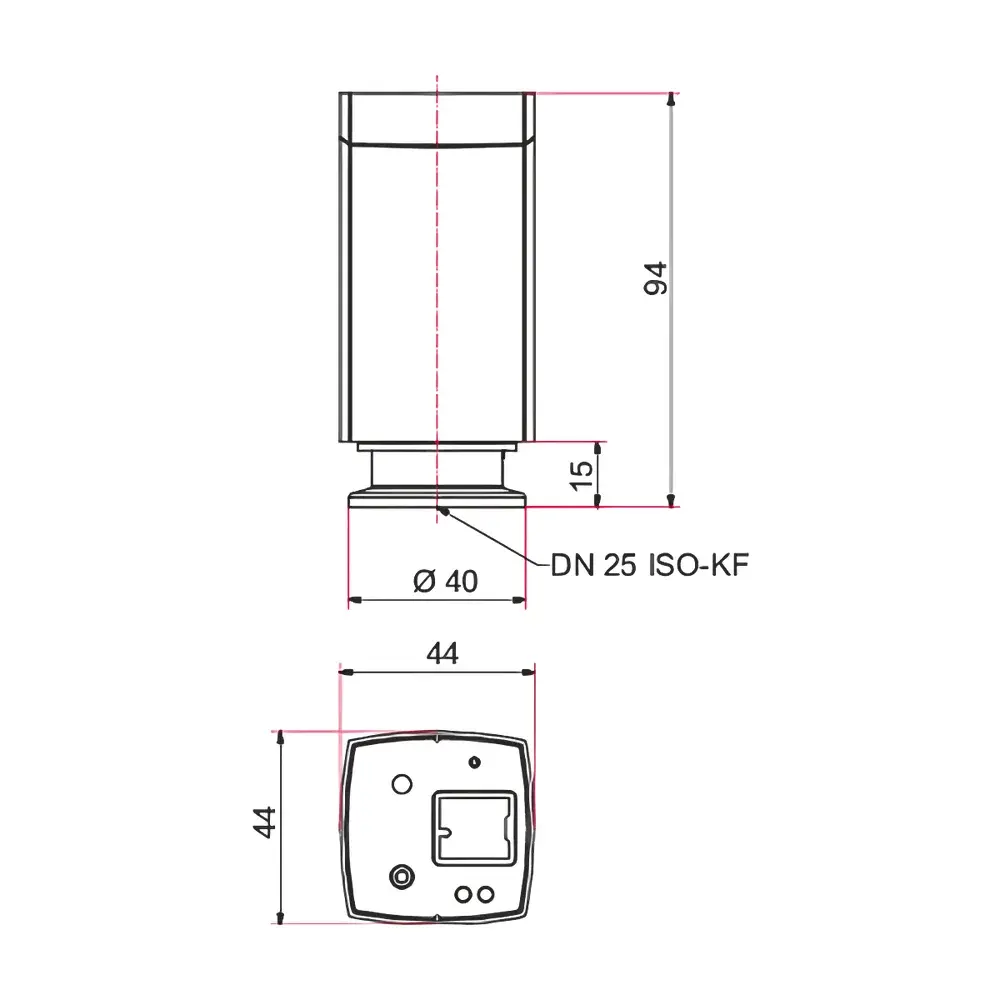
| Optional Disdrometer | Laser-based, 0.16–8 mm particle sizing, 0.2–20 m/s velocity detection, 440-class particle classification |
Overview
The AZ-RF Artificial Rainfall Simulation System is a research-grade hydrological instrumentation platform engineered for controlled, reproducible simulation of natural rainfall under laboratory and field-adjacent conditions. It operates on the principle of pressurized vertical spray delivery—using calibrated nozzles to generate raindrops with defined kinetic energy, size distribution, and spatial uniformity—enabling quantitative investigation of surface erosion dynamics, soil detachment, runoff generation, and sediment transport mechanisms. Unlike empirical rainfall simulators relying on gravity-fed or low-pressure misting, the AZ-RF integrates high-fidelity pressure regulation, real-time flow monitoring, and programmable temporal intensity profiles to replicate meteorologically relevant rainfall events—from drizzle (200 mm/h). Its design adheres to fundamental hydrometeorological scaling principles, ensuring that simulated drop impact energy (E = ½mv²), terminal velocity, and spatial distribution align closely with natural rainfall spectra observed in temperate and semi-arid environments. The system supports both fixed-installation configurations (e.g., indoor rainfall laboratories, outdoor test plots) and portable deployments for rapid site-specific calibration and validation.
Key Features
- Modular nozzle architecture: Interchangeable rotating-spray (AZ-RF1000/3000) and scanning-line (AZ-RF2000/4000) units allow flexible adaptation to experimental scale and uniformity requirements.
- Precision hydraulic control: Integrated variable-frequency drive (VFD) pumps maintain constant or linearly adjustable nozzle pressure (±0.5% stability), eliminating flow drift during extended runs.
- Real-time rain intensity quantification: High-resolution electromagnetic flow meters coupled with time-stamped data logging provide continuous mm/h output with 0.01 mm/h resolution and ±1 mm/h repeatability.
- Programmable rainfall hydrographs: Up to 120 discrete intensity levels enable construction of complex, time-varying rainfall patterns—including storm bursts, interstorm pauses, and intensity ramps—aligned with ASTM D7192 and ISO 11274 protocols for soil erosion testing.
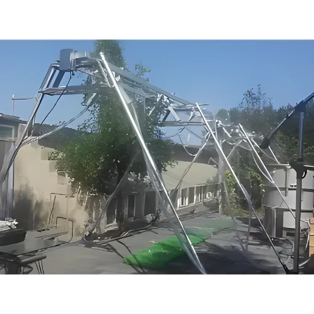
- Structural adaptability: Adjustable mounting height (2.5–3.2 m), corrosion-resistant support frames (galvanized steel, stainless steel, or aluminum), and modular water distribution manifolds facilitate integration into sloped terrain (up to 30°) without compromising rainfall homogeneity (≥90% uniformity verified per USGS Open-File Report 2005-1212 methodology).
- Low-maintenance operational design: Sealed bearing nozzles, self-cleaning filter assemblies, and non-clogging orifice geometry minimize downtime and ensure long-term metrological consistency across repeated trials.
Sample Compatibility & Compliance
The AZ-RF system is compatible with standard soil monoliths (0.5–2.0 m width × 1–10 m length), vegetated micro-plots, bioengineered slope reinforcements, and engineered geomembrane surfaces. It meets functional equivalency criteria outlined in ISO 11274 (soil erosion by water), ASTM D7192 (laboratory rainfall simulation for infiltration and runoff studies), and USDA-ARS Technical Note No. 15 (rainfall simulator calibration standards). All electronic modules comply with IEC 61000-6-3 (EMC emissions) and IEC 61000-6-2 (immunity). Optional laser disdrometer integration satisfies WMO Guide to Meteorological Instruments and Methods of Observation (CIMO Guide, Chapter 12) requirements for drop size distribution (DSD) characterization, supporting Z-R relationship derivation and radar calibration workflows.
Software & Data Management
Control and acquisition are managed via AZ-ControlSuite™ v3.x—a Windows-based application supporting ISO/IEC 17025-compliant audit trails, user role-based access control (administrator/operator), and 21 CFR Part 11–ready electronic signatures. Rainfall parameters (intensity, duration, cumulative depth, uniformity index) are logged at 1-second intervals and exported in CSV, HDF5, or NetCDF-4 formats. The software includes built-in statistical tools for calculating mean areal rainfall (MAR), coefficient of uniformity (CU), and kinetic energy flux (KEF), with optional export to GIS platforms (QGIS, ArcGIS) for spatial overlay with topographic or land-cover datasets. All raw sensor data are timestamped using NTP-synchronized system clocks, and firmware updates are delivered via secure HTTPS channels with SHA-256 signature verification.
Applications
- Quantitative assessment of rill and interrill erosion rates under controlled slope gradients (5–35°) and soil textures (sand to clay loam).
- Evaluation of vegetation cover efficacy, mulch performance, and geotextile durability against raindrop impact and surface sealing.
- Calibration and validation of physically based erosion models (e.g., WEPP, RUSLE2, EUROSEM) using high-resolution runoff and sediment yield time series.
- Soil crusting and infiltration dynamics studies, including crust formation kinetics and hydraulic conductivity recovery post-rainfall.
- Urban hydrology research: runoff response of green roofs, permeable pavements, and bioswales under design-storm scenarios.
- Climate change impact modeling: simulating intensified rainfall regimes projected under IPCC AR6 SSP scenarios (e.g., 20–50% increase in extreme event frequency).
FAQ
What is the minimum and maximum rainfall intensity the AZ-RF can simulate?
The system achieves 0.2 mm/h (drizzle) to 240 mm/h (intense thunderstorm), with programmable resolution of 1 mm/h across up to 120 discrete steps.
Can the AZ-RF be used on sloped surfaces without rainfall distortion?
Yes—the modular mounting frame allows parallel alignment of the spray array with the slope surface, maintaining consistent drop impact angle and spatial distribution; uniformity remains ≥85% on slopes up to 30°.
Is the optional laser disdrometer compliant with WMO standards?
Yes—the disdrometer meets WMO CIMO Guide Chapter 12 specifications for precipitation particle sizing and velocity measurement, including temperature and optical contamination compensation algorithms.
How is rainfall uniformity validated and documented?
Uniformity is measured using a 16-point grid of calibrated tipping-bucket gauges per ASTM D7192 Annex A1; reports include CU (coefficient of uniformity) and DU (distribution uniformity) metrics with uncertainty budgets traceable to NIST SRM 2803.
Does the system support GLP or GMP-compliant data handling?
Yes—AZ-ControlSuite™ provides full 21 CFR Part 11 compliance, including electronic audit trails, user authentication, data integrity checks, and immutable raw-data archiving.