CASP Portable Micro-Pulse Lidar (MPL) Rental Service | Ozone DIAL Lidar Rental | Near-Infrared Mie Scattering Lidar Rental | Coherent Doppler Wind Lidar Rental
| Brand | CASP |
|---|---|
| Origin | Jiangsu, China |
| Manufacturer Type | Original Equipment Manufacturer (OEM) |
| Product Origin | Domestic (China) |
| Rental Term | Monthly |
| Payment Terms | 60% advance payment |
| Application Scope | Short-term research, environmental monitoring, emergency response, and field campaign deployment |
| Compliance | Designed for field-deployable atmospheric profiling in accordance with standard atmospheric science protocols |
Overview
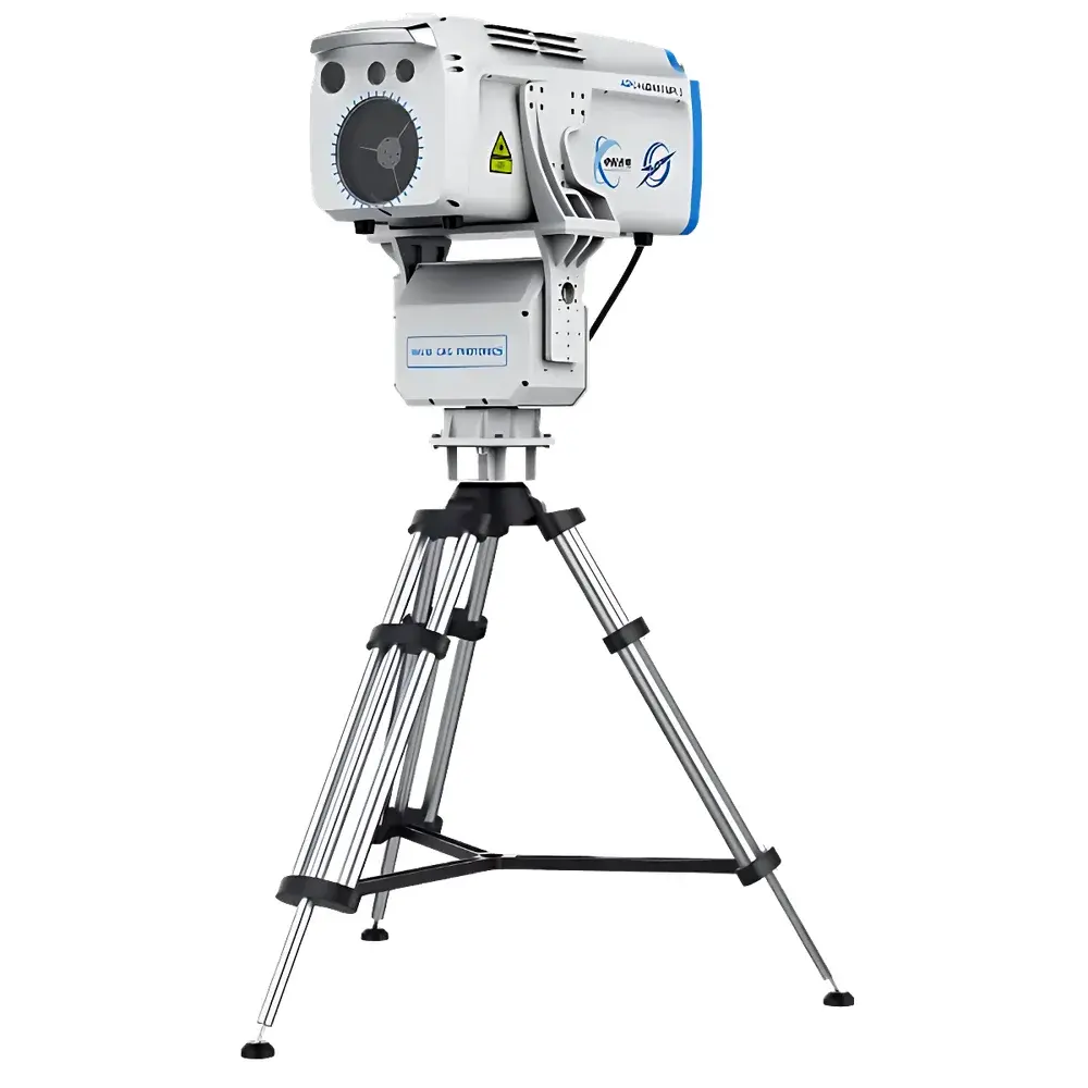
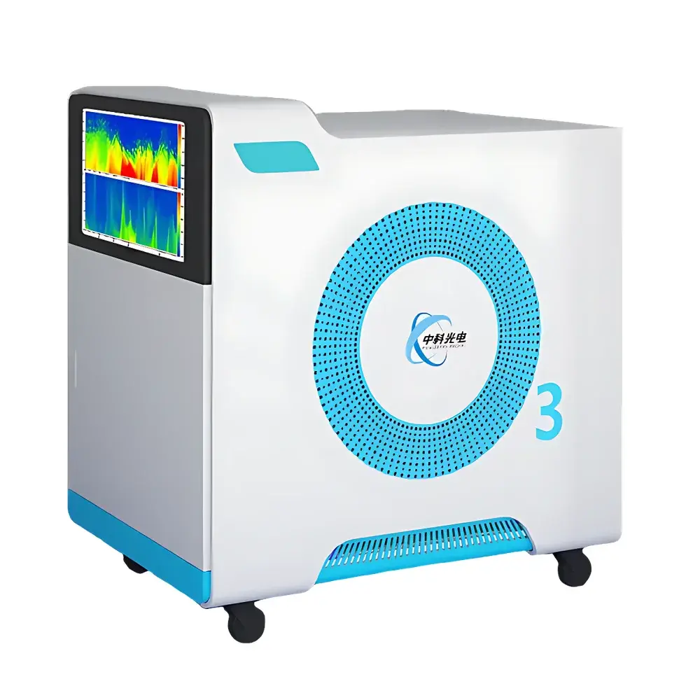
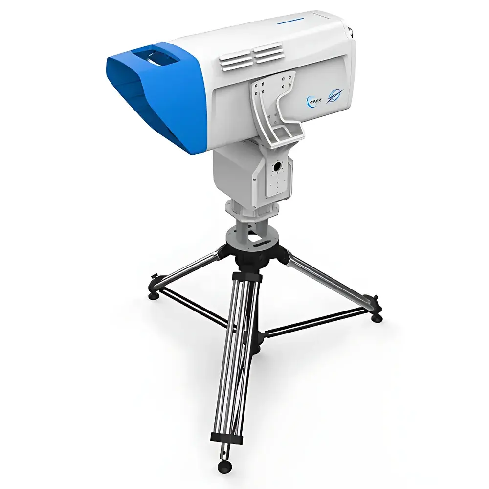
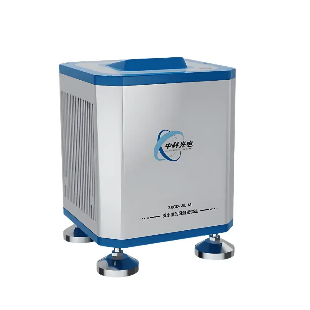
This rental service provides access to a suite of field-deployable laser remote sensing instruments manufactured by CASP (China Academy of Science & Photonics), a Jiangsu-based OEM specializing in atmospheric lidar systems. The offering includes four distinct lidar platforms—each engineered for specific vertical profiling applications in atmospheric science and environmental monitoring. The portable micro-pulse lidar (MPL) operates on elastic backscatter principles at 532 nm, delivering high-temporal-resolution aerosol extinction coefficient profiles with zero blind zone and full all-weather operability. The ozone differential absorption lidar (DIAL) employs dual-wavelength on/off-line probing at 289/299 nm to resolve ozone concentration vertical distribution with sub-kilometer vertical resolution. The near-infrared Mie scattering lidar utilizes a 1064 nm Nd:YAG laser source to quantify particulate matter, cloud boundaries, and water vapor structures via calibrated backscatter signal inversion. Finally, the compact coherent Doppler wind lidar applies heterodyne detection of Doppler-shifted 1550 nm laser returns to derive vertical profiles of wind speed, wind direction, turbulence intensity, and wind shear—critical parameters for air quality source attribution, meteorological validation, and wind energy site assessment.
Key Features
- Modular deployment architecture enabling rapid setup (<2 hours) and transport across diverse terrain including urban, industrial, and mountainous regions
- Integrated GPS/IMU synchronization for georeferenced data alignment and mobile platform integration (e.g., vehicle-mounted or drone-suspended operation)
- Real-time telemetry transmission via LTE/4G with optional edge computing module for on-board signal processing and preliminary feature extraction
- Automated calibration routines compliant with ISO 17025 traceability guidelines for optical power, timing jitter, and detector linearity
- Ruggedized enclosure rated IP65 for outdoor operation under rain, dust, and temperature fluctuations from –20 °C to +50 °C
Sample Compatibility & Compliance
These lidars are designed for open-path atmospheric sampling without physical sample collection. They comply with internationally recognized observational standards for atmospheric profiling, including WMO GAW (Global Atmosphere Watch) metadata requirements and CEILAP (Ceilometer and Lidar Applications Protocol) data formatting conventions. While not certified for regulatory compliance per se, their measurement methodologies align with ASTM D6282 (Standard Guide for Atmospheric Sounding Using Lidar) and support GLP-aligned data acquisition workflows when paired with validated post-processing software. All systems undergo factory verification against NIST-traceable reference targets prior to rental dispatch.
Software & Data Management
Each system ships with CASP’s proprietary LIDARView™ acquisition and analysis suite, supporting real-time visualization, automated cloud base height detection, planetary boundary layer height derivation, and aerosol optical depth calculation. Raw signal files (HDF5 format) are fully exportable for third-party analysis in MATLAB, Python (PyLidar), or NASA’s ICARTT framework. Audit trails—including instrument status logs, calibration timestamps, and operator session records—are retained locally and exportable to meet internal QA/QC or external audit requirements. The software supports 21 CFR Part 11–compliant user authentication and electronic signature modules upon request for regulated environments.
Applications
- Short-duration air quality campaigns requiring vertical resolution of PM₂.₅/PM₁₀ layers and plume trajectory modeling
- Emergency response scenarios involving industrial emissions, wildfire smoke dispersion, or chemical release events
- Validation of satellite-derived atmospheric products (e.g., CALIPSO, TROPOMI, Aeolus) through ground-truth vertical profiling
- Wind resource assessment for pre-construction feasibility studies in onshore and offshore wind farm development
- University-led atmospheric physics experiments requiring flexible, low-overhead instrumentation access
FAQ
What is the minimum rental duration?
The standard rental term is one calendar month, with pro-rata billing available for extensions beyond the initial period.
Is technical support included during the rental period?
Yes—remote engineering assistance, data interpretation guidance, and troubleshooting are provided throughout the contract term.
Can the lidar be integrated with UAV platforms?
The MPL and near-infrared Mie lidars are compatible with custom UAV integration; mechanical, power, and data interface specifications are supplied upon inquiry.
Are calibration certificates provided before deployment?
Each unit is shipped with a factory calibration report documenting laser energy stability, detector quantum efficiency, and geometric overlap function verification.
What training is offered prior to field deployment?
A two-hour virtual operational briefing is included, covering safety protocols, startup sequence, basic diagnostics, and raw data retrieval procedures.
Related Products


")
 System – Rental & Technical Support Service")