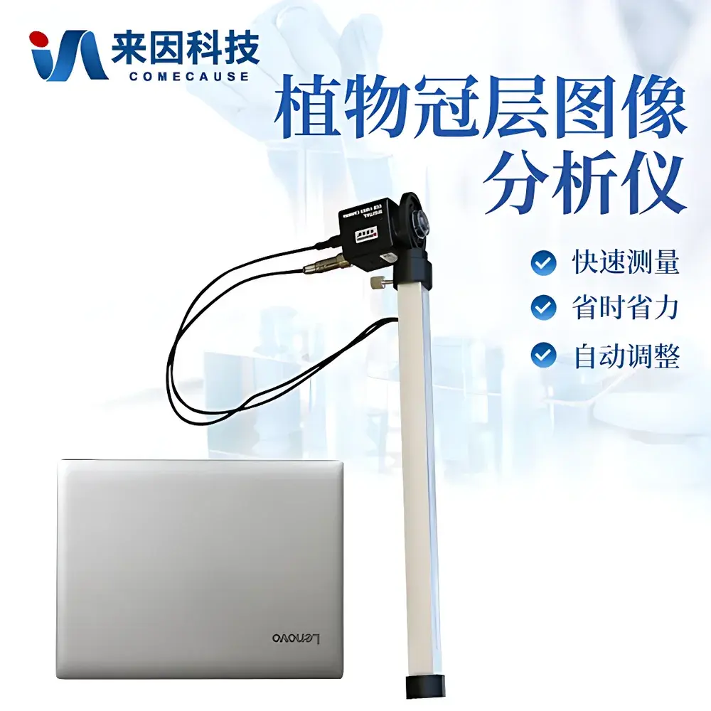
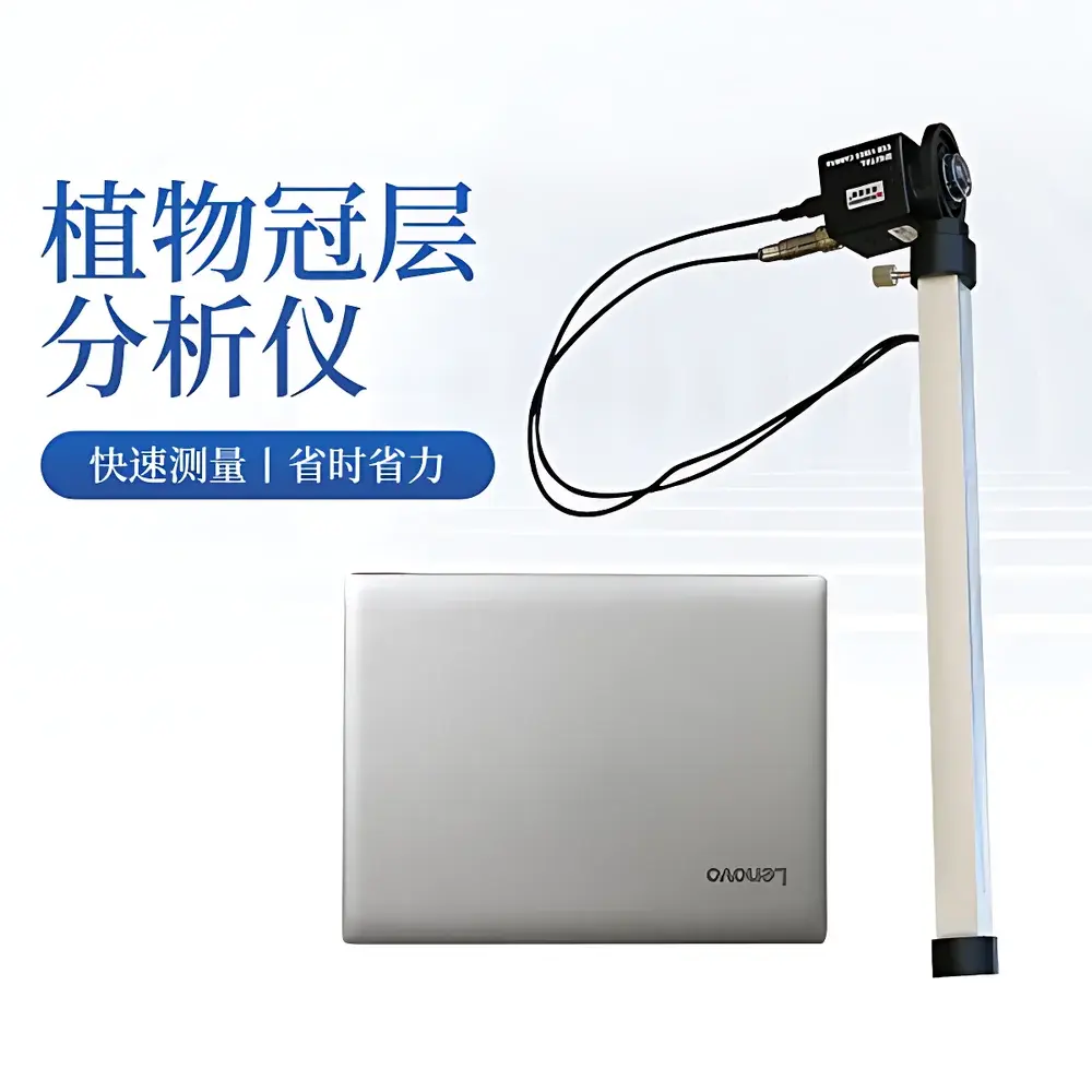
COMECAUSE IN.G20 Portable Canopy Analyzer
| Brand | COMECAUSE |
|---|---|
| Origin | Shandong, China |
| Manufacturer Type | Direct Manufacturer |
| Country of Origin | China |
| Model | IN.G20 |
| Price | USD 1,950 (approx.) |
| Measurement Principle | Hemispherical Image Analysis (Gap Fraction Method) |
| Instrument Type | Portable |
| PAR Spectral Range | 400–700 nm |
| PAR Measurement Range | 0–2000 µmol·m⁻²·s⁻¹ |
| Lens FOV | 150° |
| Image Resolution | 768 × 494 pixels |
| Zenith Angle Partitioning | 0°–75° (10 zones) |
| Azimuthal Partitioning | 360° (10 zones) |
| Operating Temperature | 0–55 °C |
| Probe Dimensions | Ø60 mm × 100 mm |
| Weight | 500 g (probe only) |
| Interface | USB |
| GPS Integration | Real-time geotagging (latitude/longitude) |
Overview
The COMECAUSE IN.G20 Portable Canopy Analyzer is an optical field instrument engineered for non-destructive, in-situ quantification of plant canopy structural parameters using hemispherical photography and gap fraction theory. It operates on the physical principle that light transmission through a vegetation canopy is governed by leaf arrangement, orientation, density, and spatial distribution—parameters that collectively determine radiation interception, photosynthetic efficiency, and microclimate regulation. By capturing fisheye-lens images of the sky hemisphere beneath the canopy and analyzing pixel-level brightness gradients against calibrated PAR (Photosynthetically Active Radiation) measurements, the IN.G20 computes key biophysical indices—including Leaf Area Index (LAI), mean leaf inclination angle (MLA), clumping index (Ω), and directional gap fraction—using semi-empirical radiative transfer models rooted in Beer-Lambert law approximations and Miller’s integral formulation. Unlike destructive harvest methods or subjective visual scoring, this approach delivers reproducible, spatially resolved metrics without altering plant physiology or stand integrity—enabling longitudinal monitoring across growth stages, treatment gradients, or disturbance events.
Key Features
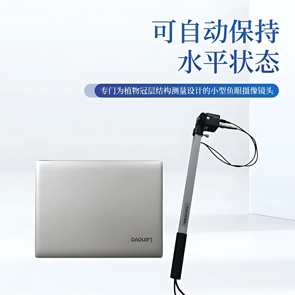
- Fisheye imaging probe with 150° field-of-view and auto-leveling gimbal mount—ensures consistent horizon alignment without tripods or manual leveling.
- Integrated 25-sensor PAR measurement rod (swing arm)—enables concurrent spectral irradiance logging during image capture for robust gap fraction calibration.
- Modular design: lightweight probe (500 g), detachable USB interface, and rugged aluminum case—optimized for field deployment in agricultural, forest, and urban ecological settings.
- Real-time GPS geotagging—embeds precise latitude/longitude coordinates into each image metadata, supporting spatially explicit data aggregation and GIS integration.
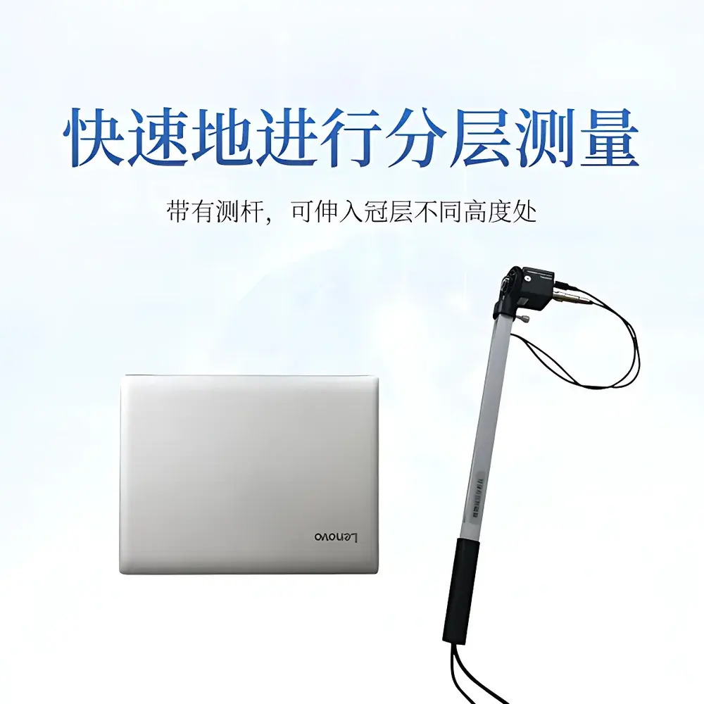
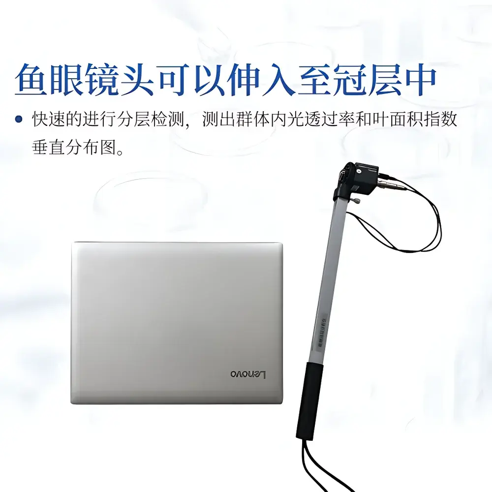
- Configurable angular partitioning: zenith angles segmented into 10 discrete bands (0°–75°), azimuth into 10 sectors—facilitating stratified analysis of vertical LAI profiles and azimuthal heterogeneity.
- Threshold-adjustable image segmentation—allows user-defined masking of non-canopy elements (e.g., gaps from missing plants, edge effects, or ground reflections) to improve parameter accuracy.
Sample Compatibility & Compliance
The IN.G20 is validated for use across diverse vegetation types, including row crops (maize, soybean, wheat), orchard canopies (apple, citrus), broadleaf and coniferous forests, grasslands, and urban green infrastructure. Its passive optical methodology requires no sample preparation and imposes no physiological stress. Data acquisition complies with internationally referenced protocols for LAI estimation, including ISO 11727:2022 (optical methods for plant structure assessment) and FAO guidelines for agroecosystem monitoring. While not certified under FDA 21 CFR Part 11, its software audit trail functionality—including timestamped raw image storage, operator ID logging, and version-controlled analysis parameters—supports GLP-aligned documentation practices for academic, governmental, and contract research applications.
Software & Data Management
The instrument ships with the COMECAUSE Plant Canopy Analysis System—a Windows-based application supporting image acquisition, batch processing, and parameter export in CSV, Excel, and GeoJSON formats. The software implements standardized algorithms for gap fraction calculation, LAI inversion via the modified Beer-Lambert equation, and MLA derivation using zenithal transmittance curves. All processed outputs include uncertainty estimates derived from sensor noise propagation and image segmentation variance. Data synchronization is supported via encrypted cloud upload to the COMECAUSE AgriCloud Platform—a secure, role-based portal enabling multi-user collaboration, time-series visualization, and integration with third-party platforms (e.g., RStudio, QGIS, CropSyst). Raw images and metadata are retained locally per user-defined retention policies, satisfying institutional data governance requirements.
Applications
- Agricultural Optimization: Quantifying LAI dynamics across planting densities, irrigation regimes, or nitrogen treatments to inform precision crop management and breeding selection for ideal canopy architecture.
- Forest Ecology: Estimating stand-level LAI, canopy closure, and vertical layering to model carbon sequestration potential, evapotranspiration fluxes, and understory light availability for biodiversity assessments.
- Climate Change Monitoring: Tracking interannual shifts in canopy structure as early indicators of drought stress, phenological advancement, or CO₂ fertilization effects—providing ground-truth validation for satellite-derived vegetation indices (e.g., MODIS LAI, Sentinel-2 FAPAR).
- Urban Forestry: Evaluating shade provision, cooling capacity, and particulate filtration efficiency of street trees and park canopies through spatially explicit LAI and gap fraction mapping.
- Educational & Training Use: Serving as a pedagogical tool in plant physiology, ecosystem ecology, and remote sensing curricula to demonstrate first-principles links between optical signal, canopy geometry, and ecological function.
FAQ
What is the primary measurement principle used by the IN.G20?
It employs hemispherical gap fraction analysis based on fisheye imagery and concurrent PAR sensing, applying radiative transfer theory to derive structural parameters.
Does the system require external power sources in the field?
No—the probe is powered via USB from the host laptop; the included battery-powered notebook ensures full portability without grid dependency.
Can the IN.G20 measure LAI in dense coniferous stands?
Yes, though users should apply appropriate clumping correction factors and validate against destructive sampling where needle overlap exceeds 80%.
Is cloud data storage mandatory?
No—local storage is default; cloud upload is optional and governed by user-configured encryption and access controls.
How frequently should the fisheye lens be calibrated?
Factory calibration is stable for ≥24 months under normal field use; annual verification using a certified diffuse reflectance standard is recommended for GLP-compliant workflows.


