COMECAUSE IN-GD10 Vegetation Cover Measurement System
| Brand | COMECAUSE |
|---|---|
| Model | IN-GD10 |
| Origin | Shandong, China |
| Manufacturer Type | Direct Manufacturer |
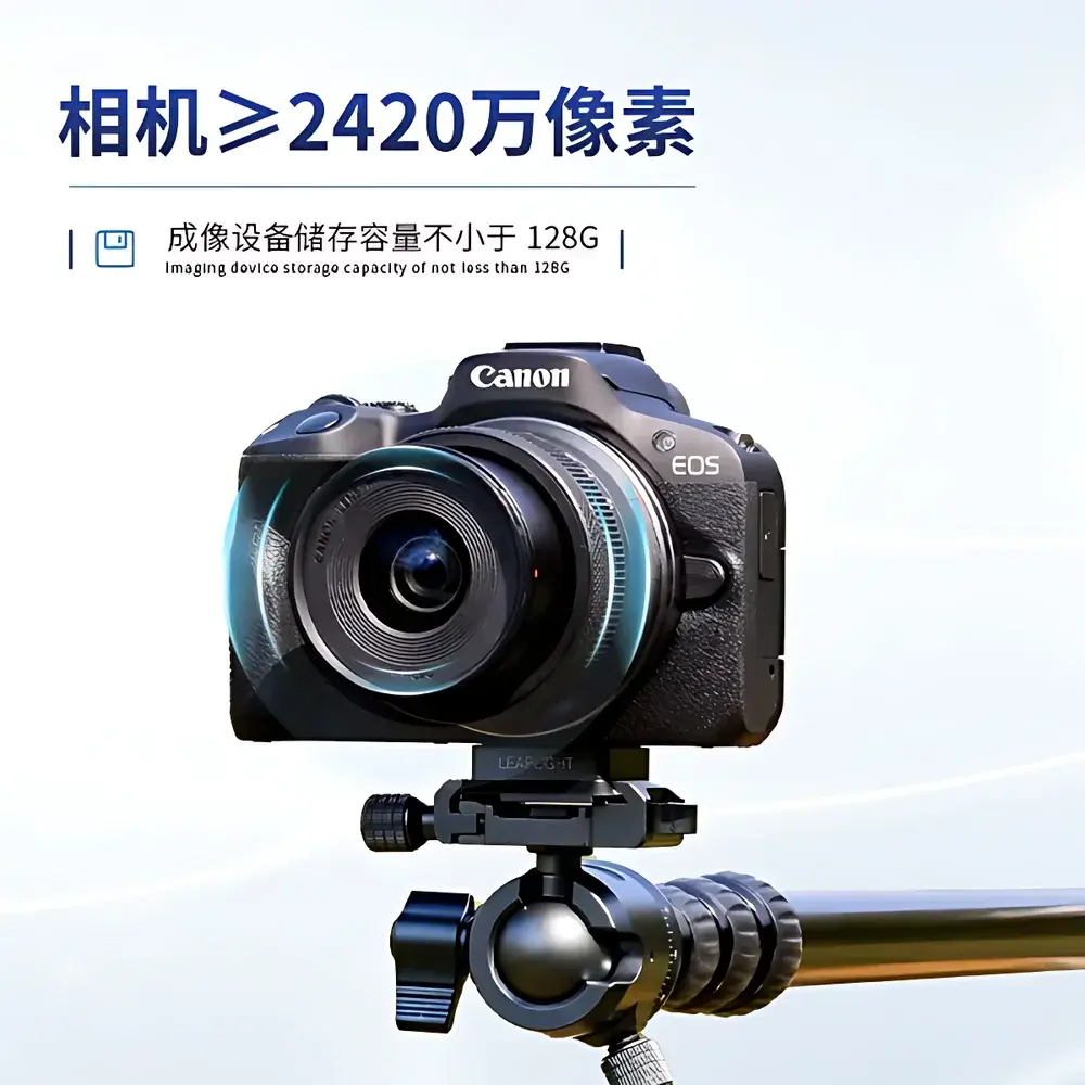
| Camera Sensor | ≥24.2 MP CMOS |
| Image Processing Engine | On-device Android-based AI segmentation (ExG, HSV, RGB, soil-vegetation spectral modeling) |
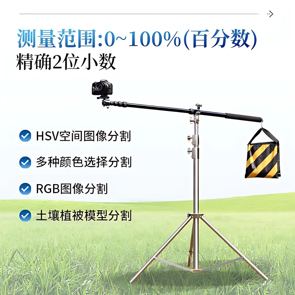
| Measurement Range | 0–100% (two-decimal precision) |
| Accuracy | ≥90% (single-image), ≥95% (batch-averaged with model calibration) |
| Operating Temperature | −25°C to +55°C |
| Relative Humidity | ≤80% RH |
| Storage Capacity | ≥128 GB internal |
| Optical System | 18–45 mm variable focal length lens, auto-focus, auto-exposure, optical zoom, built-in flash compensation |
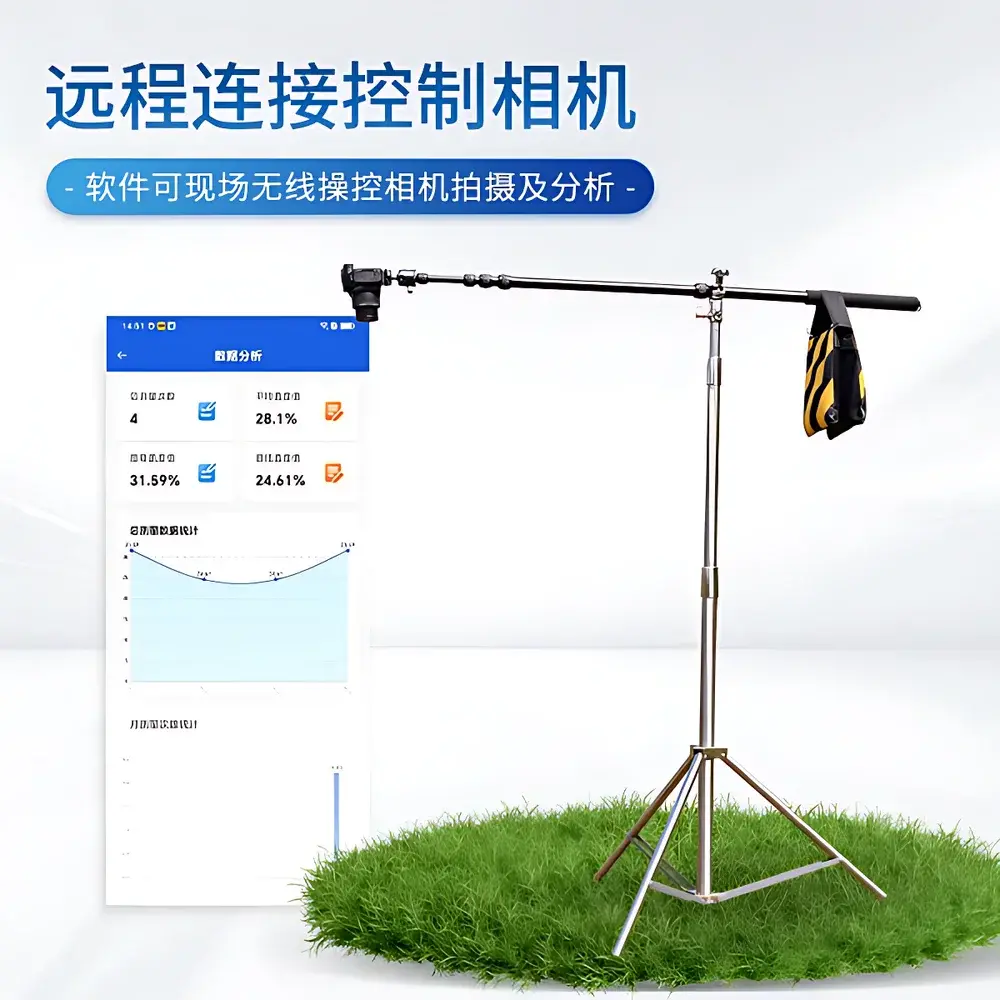
| Connectivity | Wi-Fi hotspot mode (10 m range), remote camera control & real-time image transfer |
| Software Platform | Android 6.0+, cloud-sync capable, GPS-tagged analysis |
| Compliance | Designed for field-deployable GLP-aligned data collection |
Overview
The COMECAUSE IN-GD10 Vegetation Cover Measurement System is a field-portable, ground-based digital imaging instrument engineered for high-reproducibility quantification of vegetation fractional cover (VFC) and canopy closure (i.e.,郁闭度). It operates on the principle of pixel-level spectral classification within calibrated color spaces—primarily leveraging the Excess Green Index (ExG = 2G − R − B), HSV hue-saturation-value segmentation, and adaptive soil-vegetation reflectance modeling. Unlike satellite or UAV-based solutions that rely on spatially aggregated indices (e.g., NDVI), the IN-GD10 delivers centimeter-scale resolution from nadir or oblique ground-level perspectives, enabling direct validation of remote sensing products and supporting fine-grained ecological monitoring at plot and transect scales. Its architecture bridges classical visual estimation protocols (e.g., Daubenmire frame method) with modern computer vision workflows compliant with ISO 19130-2 (geographic information — imagery sensor models) and ASTM E2921-22 (standard guide for evaluating digital image analysis in ecological field studies).
Key Features
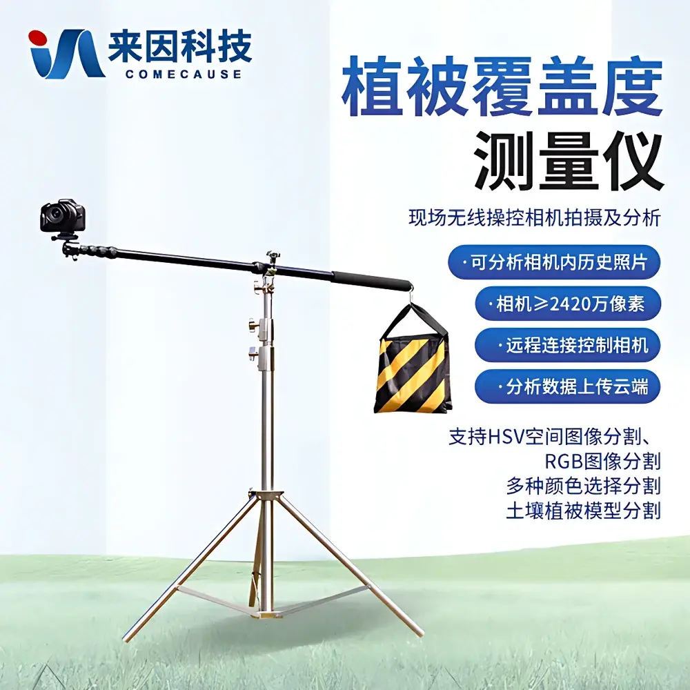
- Integrated 24.2 MP Canon EOS R50 mirrorless camera with 18–45 mm optical zoom lens, auto-focus, auto-exposure, and flash compensation—optimized for consistent illumination across variable field conditions.
- Dedicated Android-based analytical software with multi-algorithm segmentation engine: ExG thresholding, HSV hue-range masking, RGB channel isolation, and pre-trained soil-vegetation spectral response models calibrated for temperate grasslands, croplands, and shrub-steppe ecosystems.
- On-device processing capability for images up to 50 MB; no dependency on cloud upload for core analysis—ensuring operational continuity in low-connectivity environments.
- GPS-embedded metadata capture: each analyzed image retains geotag, timestamp, device orientation, and full parameter traceability (threshold values, color space used, tolerance settings).
- Portable tripod-mount design with rapid-deployment hardware; total system weight < 3.2 kg; operational in ambient temperatures from −25°C to +55°C and humidity ≤80% RH.
- Wi-Fi hotspot functionality enables secure local-area connection (≤10 m) between mobile controller and imaging unit—supporting remote triggering, live preview, and batch image retrieval without cellular infrastructure.
Sample Compatibility & Compliance
The IN-GD10 is validated for use across herbaceous, agricultural, and low-canopy woody systems—including annual crops (wheat, maize, soybean), perennial grasslands (Leymus chinensis, Stipa grandis), vineyards, orchards, and post-disturbance regeneration plots. It does not require destructive sampling, nor does it emit radiation or interfere with natural canopy microclimate. The system conforms to IEC 61000-6-3 (EMC emission standards) and meets CE marking requirements for portable electronic instrumentation. While not certified under FDA 21 CFR Part 11, its software architecture supports ALCOA+ principles (Attributable, Legible, Contemporaneous, Original, Accurate, Complete, Consistent, Enduring, Available) through immutable metadata logging, version-controlled analysis parameters, and exportable Excel-based audit trails—including binary masks, raw images, coordinate-stamped reports, and statistical summaries (mean, min/max, standard deviation per batch).
Software & Data Management
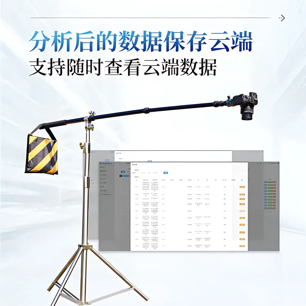
The proprietary Android application provides dual-mode operation: single-image analysis and batch-processed time-series evaluation. Users may select from six segmentation strategies—auto-ExG, manual RGB threshold, manual HSV threshold, point-and-select color sampling, vegetation-soil model fitting, or hybrid combinations—with adjustable tolerance bands. All outputs include georeferenced PNG/JPEG/BMP exports, grayscale binary maps, and color-coded overlay visualizations. Analytical results are stored locally with full provenance: original image hash, GPS coordinates (WGS84), UTC timestamp, operator ID (optional), and segmentation configuration file (.json). Cloud synchronization is optional and encrypted (AES-256); uploaded datasets retain full traceability and support role-based access control when deployed via institutional servers. Export formats include CSV (for GIS integration), Excel (.xlsx) with embedded charts (line, bar, scatter), and ZIP archives containing structured folders for reproducible analysis.
Applications
- Ecological Monitoring: Long-term VFC tracking across permanent plots (e.g., NEON, CTFS-ForestGEO protocols); correlation with precipitation, soil moisture, and phenological stage.
- Agricultural Management: In-season crop emergence assessment, weed infestation mapping, irrigation scheduling triggers based on canopy closure rate thresholds.
- Restoration Ecology: Quantitative benchmarking of seeded vs. natural recruitment success; erosion risk modeling via bare-ground fraction time series.
- Remote Sensing Validation: Ground-truthing of Sentinel-2, Landsat, or UAV-derived NDVI/SAVI products; contribution to global validation networks such as VALERI or CEOS LPV.
- Climate Change Research: Detection of subtle shifts in alpine meadow composition, desert steppe encroachment, or tundra greening trends at sub-hectare resolution.
FAQ
What is the minimum recommended image acquisition height for optimal accuracy?
For most herbaceous and row-crop applications, a nadir-view height of 1.2–2.0 m above ground level yields optimal pixel density and minimal perspective distortion. Higher elevations (>3 m) require geometric correction using EXIF-derived focal length and sensor dimensions.
Does the system support multispectral or NIR imaging?
No—the IN-GD10 relies exclusively on visible-light RGB imaging. It is not equipped with bandpass filters or modified sensors for near-infrared (NIR) or shortwave infrared (SWIR) capture. For NDVI-capable field instruments, consider complementary UAV-mounted multispectral payloads.
Can the software process drone-captured orthomosaics?
Yes—though optimized for single-frame inputs, the software accepts georeferenced GeoTIFFs up to 50 MB. Subsampling and tile-based analysis are applied automatically for large rasters to maintain responsiveness.
Is calibration required before each measurement session?
While factory-calibrated, users are advised to perform a quick white-balance check using a neutral gray card under prevailing lighting conditions—particularly during dawn/dusk or under heavy cloud cover—to minimize hue drift in HSV-based segmentation.
How is data integrity ensured during offline field operation?
All analyses generate immutable local records with SHA-256 checksums for both input images and output binaries. Metadata includes device serial number, firmware version, and cryptographic timestamp—enabling forensic reconstruction of analysis lineage independent of network availability.