COMECAUSE IN*G20 Portable Canopy Analyzer with Hemispherical Imaging and PAR Sensor Array
| Brand | COMECAUSE |
|---|---|
| Origin | Shandong, China |
| Manufacturer Type | Direct Manufacturer |
| Model | IN*G20 |
| Principle | Hemispherical Digital Image Analysis (Based on Gap Fraction Theory & Beer–Lambert Law) |
| Type | Handheld Portable System |
| PAR Spectral Range | 400–700 nm |
| PAR Measurement Range | 0–2000 μmol·m⁻²·s⁻¹ |
| Field of View | 150° Fisheye |
| Image Resolution | 768 × 494 pixels |
| Zenith Angle Coverage | 0°–75° (divisible into 10 zones) |
| Azimuthal Coverage | 0°–360° (divisible into 10 zones) |
| Probe Dimensions | Ø60 mm × 100 mm |
| Weight | 500 g (probe + articulated arm, excluding laptop) |
| Operating Temperature | 0–55 °C |
| Interface | USB 2.0 |
| GPS Integration | Built-in geotagging (latitude/longitude) |
| Data Transmission | Encrypted upload to proprietary agricultural cloud platform |
Overview
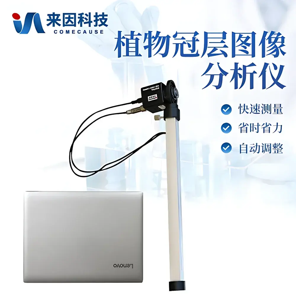
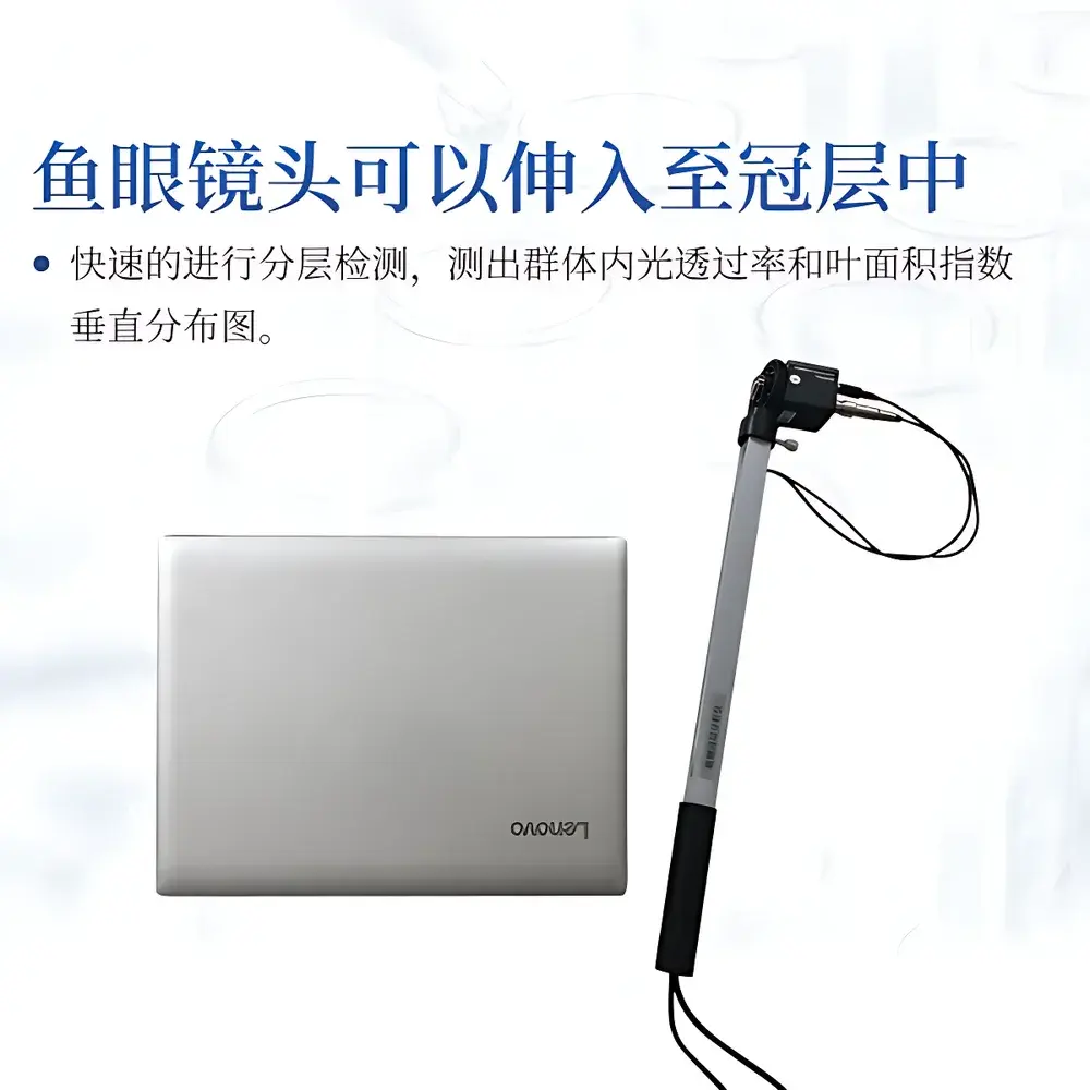
The COMECAUSE IN*G20 Portable Canopy Analyzer is an engineered field instrument for quantitative structural and radiative characterization of plant canopies using hemispherical photography and integrated photosynthetic photon flux density (PPFD) sensing. It operates on the physical foundation of gap fraction theory—derived from the Beer–Lambert law—where canopy light interception is modeled as a function of leaf area distribution, leaf angle orientation, and spatial heterogeneity. By capturing downward-facing fisheye images of the sky hemisphere beneath vegetation, the system computes canopy structural parameters through pixel-level binary classification (sky vs. foliage), enabling robust estimation of leaf area index (LAI), mean leaf inclination angle (MLA), clumping index, and radiation transmission profiles across variable solar zenith angles. Unlike point-sensor or indirect optical methods (e.g., LAI-2200C), the IN*G20 employs a calibrated 150° fisheye optical path coupled with 25 discrete PAR sensors mounted along its articulated measurement arm, allowing simultaneous spatial mapping of diffuse and direct transmittance at multiple vertical strata. Its design adheres to internationally referenced methodologies outlined in ISO 11727:2014 (Plant production—Measurement of leaf area index) and complements protocols used in USDA ARS long-term agroecosystem monitoring networks.
Key Features
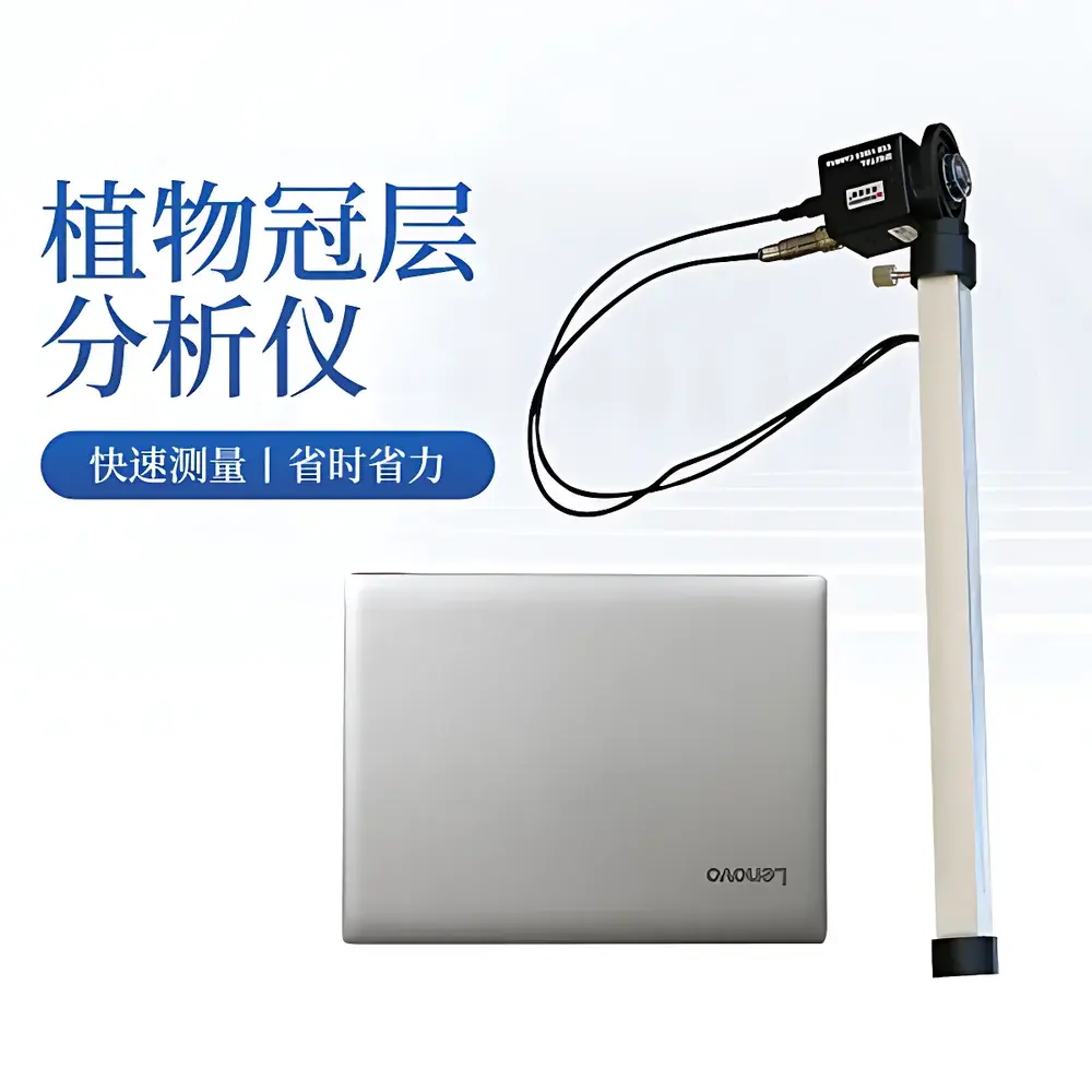
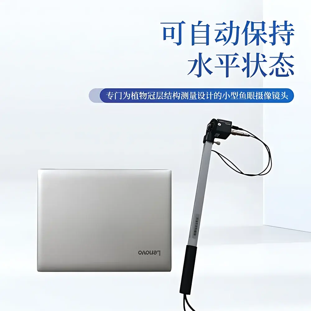
- 150° ultra-wide-angle fisheye lens with automatic horizon leveling via precision gimbal mount—enabling rapid, tripod-free acquisition under variable terrain and canopy height conditions.
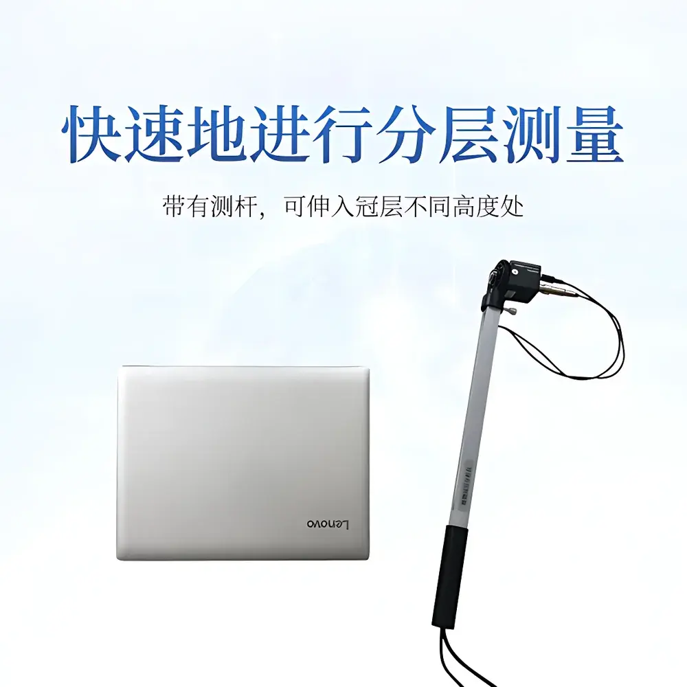
- Integrated 25-channel PAR sensor array distributed along a lightweight, extendable articulated arm—providing concurrent vertical profiling of photosynthetic photon flux density (400–700 nm) alongside image capture.
- High-fidelity hemispherical imaging at 768 × 494 resolution with user-adjustable exposure and dynamic thresholding—optimized for accurate sky/foliage segmentation under diverse lighting (overcast, clear, partial shade).
- Zenith–azimuthal grid partitioning: configurable division of the hemispherical image into up to 10 zenith angle bands (0°–75°) and 10 azimuth sectors (0°–360°)—supporting directional analysis of canopy architecture and light heterogeneity.
- Real-time GPS georeferencing with NMEA 0183 output—ensuring traceable spatial metadata for time-series plot-level monitoring and GIS integration.
- Modular hardware architecture: compact probe (Ø60 mm × 100 mm, 500 g), detachable measurement arm, ruggedized aluminum transit case, and encrypted software license dongle—designed for daily field deployment by agronomists and ecological researchers.
Sample Compatibility & Compliance
The IN*G20 supports structural and radiometric assessment across herbaceous and woody vegetation types—including row crops (maize, soybean, cotton), orchards, vineyards, grasslands, and forest understories—without requiring destructive sampling or prior calibration against reference standards. Its non-contact, above-canopy and within-canopy positioning capability enables stratified measurements at heights from ground level to >3 m. The system conforms to fundamental assumptions of gap fraction modeling: random leaf orientation (applicable to most broadleaf species), negligible leaf reflectance contribution to sky signal, and uniform illumination geometry during acquisition. All firmware and software comply with IEC 61000-6-3 (EMC emission limits) and meet CE marking requirements for portable electronic instrumentation. While not FDA-regulated, data export formats (CSV, GeoTIFF, XML metadata) are compatible with GLP-aligned laboratory information management systems (LIMS) when deployed in regulated agronomic trials.
Software & Data Management
The bundled Plant Canopy Analysis System (PCAS v3.2) runs natively on Windows 10/11 and provides full workflow control—from image acquisition and PAR synchronization to parameter derivation and report generation. Key capabilities include interactive masking of edge effects (e.g., border rows, gaps, non-vegetated patches), manual threshold optimization per zenith zone, and export of LAI, extinction coefficient (k), sky diffusion ratio, and azimuthally resolved leaf area density. All datasets are timestamped, geotagged, and encrypted prior to upload via TLS 1.2 to the COMECAUSE AgriCloud platform—a secure, ISO/IEC 27001-certified infrastructure offering role-based access, audit trails, version-controlled data storage, and RESTful API integration with third-party platforms such as FieldView and FarmLogs. Software validation documentation—including IQ/OQ protocols and uncertainty budgets for LAI estimation—is available upon request for GxP-aligned deployments.
Applications
- Long-term phenotyping of canopy development dynamics in breeding nurseries and variety trials.
- Quantifying light use efficiency (LUE) and radiation absorption profiles for crop growth modeling (e.g., APSIM, DSSAT inputs).
- Validating satellite- and UAV-derived LAI products across heterogeneous landscapes.
- Assessing canopy closure timing and shading effects in intercropping and agroforestry systems.
- Monitoring seasonal changes in forest stand structure and understory light availability for biodiversity studies.
- Supporting carbon sequestration modeling through spatially explicit leaf area density estimates.
FAQ
Does the IN*G20 require external power sources in the field?
No—the fisheye probe and PAR sensor array are powered exclusively via USB bus voltage from the host laptop; no batteries or external chargers are needed.
Can the system operate under full canopy shade or dense overcast conditions?
Yes—its high-sensitivity CCD and adjustable exposure ensure reliable sky/foliage contrast even at low irradiance levels (<50 μmol·m⁻²·s⁻¹); however, direct sunflecks may require manual masking during analysis.
Is raw image and PAR data accessible for custom processing?
Yes—full-resolution TIFF images, unprocessed PAR time-series logs (.csv), and metadata JSON files are exported locally before cloud upload, enabling third-party algorithm integration.
How is instrument accuracy verified between field campaigns?
Each unit ships with a NIST-traceable PAR calibration certificate; users may perform routine verification using the included neutral-density test target and standardized overcast-sky protocol.
Does the software support multi-user collaboration and centralized data governance?
Yes—AgriCloud supports SSO authentication, project-level permissions, automated backup scheduling, and export of FAIR-compliant (Findable, Accessible, Interoperable, Reusable) metadata packages.


