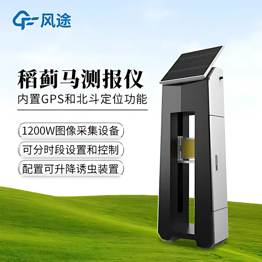
Fengtu FT-SD2 Rice Thrips Monitoring System
| Brand | Fengtu |
|---|---|
| Origin | Shandong, China |
| Manufacturer Type | Authorized Distributor |
| Country of Manufacture | China |
| Model | FT-SD2 |
| Price | USD 12,200 (FOB Qingdao) |
Overview
The Fengtu FT-SD2 Rice Thrips Monitoring System is an integrated, field-deployable entomological surveillance instrument engineered for continuous, non-invasive monitoring of Stenchaetothrips biformis—a key phloem-feeding pest threatening rice cultivation across tropical and subtropical agroecosystems. Unlike conventional manual scouting or passive traps, the FT-SD2 employs chromotropic attraction principles: rice thrips exhibit strong phototactic response to specific spectral reflectance profiles (primarily blue–yellow wavelength bands), enabling reliable capture and quantification on vertically adjustable chromatic boards. The system combines automated visual census, multi-parameter environmental logging, and georeferenced telemetry into a single solar-powered unit. Its core measurement principle relies on high-resolution digital imaging coupled with time-synchronized meteorological correlation—allowing users to establish statistical relationships between thrips activity peaks and ambient temperature, humidity, wind velocity, and precipitation events. Designed for long-term unattended operation in paddy field environments, the FT-SD2 supports early-warning decision-making aligned with Integrated Pest Management (IPM) frameworks and FAO-recommended monitoring protocols.
Key Features
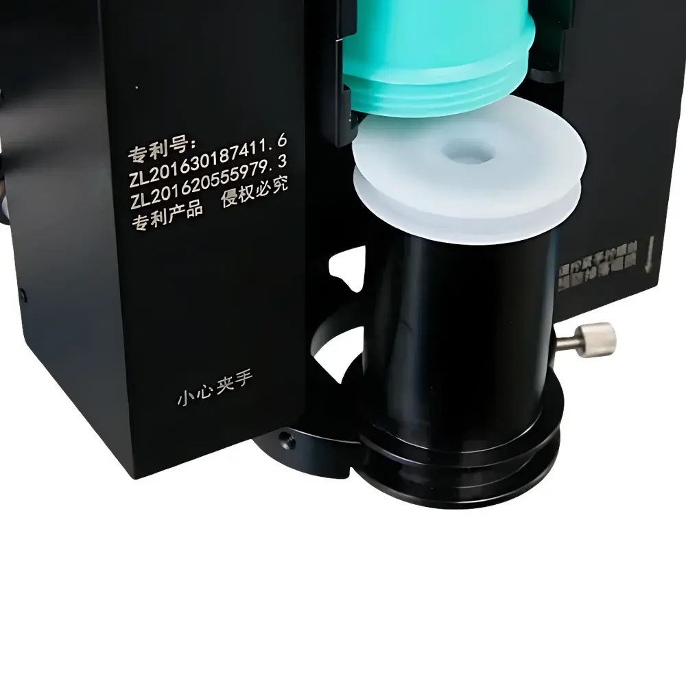
- Automated chromatic board deployment: motorized vertical adjustment (0.5–2.0 m range) enables adaptive height optimization based on canopy development stage and microclimatic stratification.
- 1200W-pixel industrial-grade CMOS camera with fixed-focus macro lens; image resolution ≥1920×1080 at 30 fps; onboard JPEG compression with timestamped EXIF metadata (UTC + local timezone).
- 7-inch capacitive touchscreen interface running Android 9.0 OS; supports both scheduled (hourly/daily) and on-demand image capture; real-time display of ambient temperature (±0.3°C), relative humidity (±2% RH), wind speed (0–30 m/s), wind direction (0–360°), and rainfall accumulation (0.2 mm resolution).
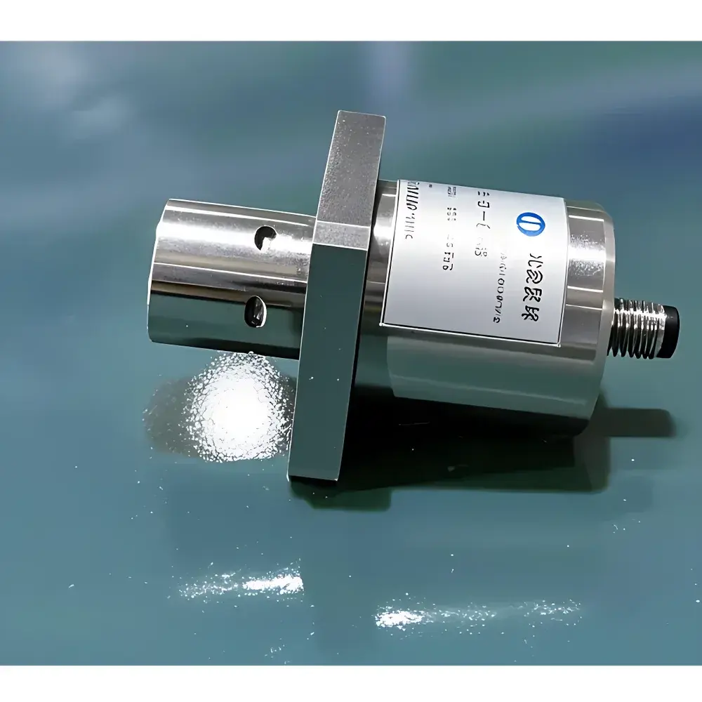
- Dual GNSS positioning: concurrent GPS + BeiDou satellite reception; positional accuracy ≤3 m CEP (95% confidence); geotagged image uploads with KML export capability.
- Modular sensor suite: calibrated ultrasonic anemometer, capacitive humidity/temperature probe, tipping-bucket rain gauge, and solar irradiance sensor—all housed in IP65-rated weatherproof enclosure.
- Multi-mode connectivity: embedded LTE Cat-4 4G module (global band support), IEEE 802.11n Wi-Fi (2.4 GHz), and RJ45 Ethernet port; TLS 1.2 encrypted data transmission to cloud platform.
- Solar hybrid power architecture: 60 W monocrystalline PV panel + 12 V / 24 Ah deep-cycle AGM battery; average system power draw ≤50 W; designed for >15-day autonomy under overcast conditions.
Sample Compatibility & Compliance
The FT-SD2 is optimized for detection and semi-quantitative enumeration of adult Stenchaetothrips biformis, with secondary sensitivity to co-occurring thrips species (Thrips palmi, Scirtothrips dorsalis) exhibiting similar chromotactic behavior. It does not support larval-stage detection or species-level taxonomic identification via AI inference—image datasets require manual or expert-assisted verification per ISO 7816-3:2021 guidelines for agricultural pest image annotation. All electrical components comply with IEC 60529 (IP65 ingress protection), IEC 61000-4-2/3/4 (EMC immunity), and GB/T 19001–2016 (equivalent to ISO 9001:2015). Data acquisition workflows meet GLP-aligned traceability requirements: each image includes immutable timestamps, sensor-readout logs, and device serial number hashing.
Software & Data Management
Data is transmitted to the Fengtu AgriCloud Platform (v3.2+), accessible via web dashboard (HTTPS), native Android/iOS apps, or WeChat Mini Program integration. Raw images are stored in encrypted object storage (AES-256) with configurable retention policies (default: 90 days). Time-series environmental metrics are aggregated into CSV/JSON exports compliant with FAO’s Pest Risk Information System (PRISE) schema. Role-based access control (RBAC) supports multi-user collaboration across extension services, research stations, and cooperative farms. Audit trails record all configuration changes, firmware updates, and user login events—supporting internal QA reviews and alignment with national phytosanitary reporting standards (e.g., China’s GB/T 24689.2–2009).
Applications
- Regional pest phenology mapping: correlating thrips emergence timing with accumulated growing degree days (GDD) and soil moisture indices.
- Evaluation of insecticide efficacy trials: longitudinal comparison of trap catch rates pre- and post-application under replicated field plots.
- Climate–pest interaction modeling: feeding time-series meteorological inputs into logistic regression or random forest models predicting outbreak probability.
- Extension service dashboards: aggregating data from multiple FT-SD2 units across administrative districts to generate county-level pest advisories.
- Academic entomological research: supporting studies on thrips dispersal patterns, host-plant resistance screening, and landscape-scale movement corridors.
FAQ
Does the FT-SD2 identify thrips species automatically using AI?
No. It captures high-fidelity images for human or expert-system verification; species-level classification requires external morphological or molecular analysis.
Can the system operate during prolonged rainy periods?
Yes—its solar charging circuit prioritizes battery maintenance, and the sealed enclosure ensures uninterrupted function under continuous rainfall up to 50 mm/h.
Is firmware update supported remotely?
Yes. Over-the-air (OTA) updates are delivered via secure HTTPS channel with SHA-256 signature validation and rollback capability.
What is the maximum distance between the device and base station for LoRaWAN compatibility?
The FT-SD2 does not use LoRaWAN; it relies exclusively on 4G/Wi-Fi/Ethernet for backhaul. Cellular coverage is required for remote operation.
Are calibration certificates provided for environmental sensors?
Factory calibration reports (traceable to NIM China) are included; field recalibration intervals are recommended every 12 months per ISO/IEC 17025 guidance.
Related Products