FPI Multi-Axis Differential Optical Absorption Spectroscopy (MAX-DOAS) System
| Brand | FPI |
|---|---|
| Origin | Zhejiang, China |
| Manufacturer Type | Original Equipment Manufacturer (OEM) |
| Country of Origin | China |
| Model | MAX-DOAS |
| Pricing | Available Upon Request |
Overview
The FPI Multi-Axis Differential Optical Absorption Spectroscopy (MAX-DOAS) System is a passive remote sensing instrument engineered for high-sensitivity, ground-based monitoring of trace atmospheric gases. It operates on the well-established DOAS principle—exploiting the unique absorption cross-sections of target molecules (e.g., SO₂, NO₂, O₃, HCHO, BrO, and glyoxal) in the UV–visible spectral range (290–450 nm). Unlike active lidar or in-situ point sensors, this system uses scattered solar radiation as its light source, eliminating the need for artificial illumination and enabling continuous, unattended operation under daylight conditions. By acquiring spectra at multiple elevation angles—from near-horizontal (1°–3°) to zenith (90°)—the system enables vertical profile retrieval via optimal estimation inversion algorithms (e.g., QDOAS + BEHR or MAXDOAS2.0 forward modeling), delivering column densities and near-surface concentration gradients with high temporal resolution (typically 1–5 minutes per full scan sequence).
Key Features
- Multi-axis observation geometry: Simultaneous acquisition at ≥7 discrete elevation angles (standard configuration: 1°, 2°, 3°, 4°, 8°, 15°, 90°), enabling robust separation of boundary layer and free tropospheric contributions.
- High-throughput Czerny–Turner spectrometer with back-illuminated CCD detector (2048 × 64 pixels), optimized for signal-to-noise ratio (>1000:1 at 360 nm, 1 s integration).
- Real-time spectral calibration using internal Hg/Ne pen-ray lamp and automated wavelength stabilization via Peltier-cooled reference channel.
- Integrated GPS/IMU module for precise georeferencing and motion compensation—critical for mobile deployments including vehicle-mounted scanning platforms.
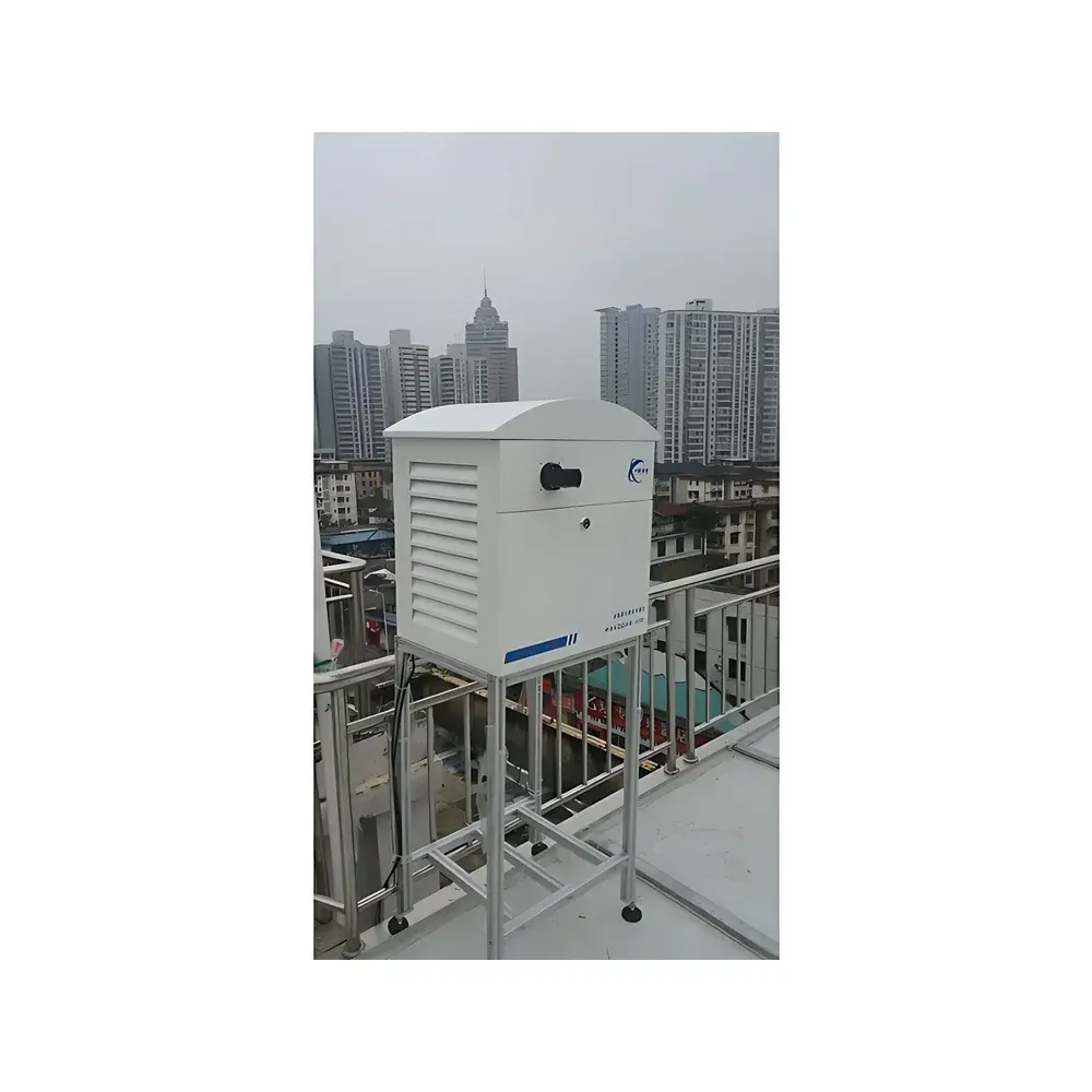
- Thermally stabilized optical bench (±0.1 °C) and humidity-controlled enclosure (IP54 rated) ensure long-term spectral stability in field environments ranging from −20 °C to +50 °C.
- Modular design supports optional add-ons: polarization-sensitive optics for aerosol extinction profiling, stray-light correction modules, and dual-telescope configurations for differential slant column density (dSCD) validation.
Sample Compatibility & Compliance
The MAX-DOAS system is designed for open-path, non-contact measurement of ambient air—requiring no sampling inlet, pre-concentration, or chemical reagents. It is intrinsically immune to interferences from water vapor (H₂O), carbon dioxide (CO₂), and particulate matter (PM₁₀/PM₂.₅), as spectral fitting isolates molecular absorption features using high-resolution reference cross-sections (e.g., JPL and MPI-Mainz databases). The system complies with ISO 17025 requirements for measurement uncertainty quantification and supports traceable calibration protocols aligned with WMO GAW recommendations. Data outputs meet EU Directive 2008/50/EC Annex IX reporting formats and are compatible with national air quality management frameworks (e.g., China’s HJ 1259–2022 standard for optical remote sensing of emission sources).
Software & Data Management
The FPI MAX-DOAS Control & Analysis Suite (v4.2+) provides end-to-end workflow automation: real-time spectrum acquisition, dark-current and flat-field correction, radiometric calibration, DOAS fitting (using polynomial baseline + reference cross-sections), and vertical profile inversion. All raw and processed data are stored in HDF5 format with embedded metadata (time stamp, GPS coordinates, temperature, pressure, relative humidity). Audit trails, user access logs, and electronic signatures conform to FDA 21 CFR Part 11 and GLP-compliant data integrity requirements. Export modules support NetCDF, CSV, and standardized AQXML formats for integration into national monitoring networks (e.g., CNEMC, EEA AirBase, or NASA TEMPO validation pipelines).
Applications
- Point source emission quantification: Stack plume mapping and flux calculation (kg/h) for industrial facilities using triangulation or inverse dispersion modeling.
- Area source characterization: Spatially resolved mapping of urban NO₂ hotspots, traffic corridor ozone production, and agricultural ammonia volatilization zones.
- Transboundary transport analysis: Detection and trajectory attribution of regional pollution events (e.g., East Asian outflow, Saharan dust–pollution mixing layers).
- Chemical regime diagnostics: Formaldehyde-to-NO₂ ratios for ozone formation sensitivity classification (VOC-limited vs. NOₓ-limited regimes).
- Validation of satellite retrievals: Ground-truthing TROPOMI, OMI, and GEMS vertical column densities with collocated MAX-DOAS measurements.
- Long-term trend analysis: Multi-year time series generation for regulatory compliance reporting and climate–chemistry model evaluation.
FAQ
What trace gases can the FPI MAX-DOAS system quantify?
SO₂, NO₂, O₃, HCHO, BrO, IO, ClO, and glyoxal—subject to spectral window availability and minimum detectable column density (e.g., 1 × 10¹⁴ molec/cm² for NO₂ at 1° elevation, 5-min average).
Is the system suitable for mobile deployment?
Yes—optional vehicle-integrated scanning platform includes motorized azimuth/elevation gimbal, inertial navigation feedback, and synchronized GPS-triggered acquisition.
How is calibration maintained in field operation?
Wavelength calibration is performed automatically every 2 hours using integrated Hg/Ne lamp; radiometric calibration is verified quarterly using NIST-traceable integrating sphere source.
Can data be integrated into national air quality databases?
Yes—software supports automated upload to China’s National Environmental Monitoring Center (CNEMC) platform via HTTPS API, compliant with HJ 212–2017 communication protocol.
What is the typical spatial coverage per measurement site?
Horizontal detection range: up to 10 km for strong absorbers (e.g., SO₂ plumes); vertical profiling resolution: ~200 m in lower troposphere (0–3 km), degrading to ~1 km above 6 km altitude.


