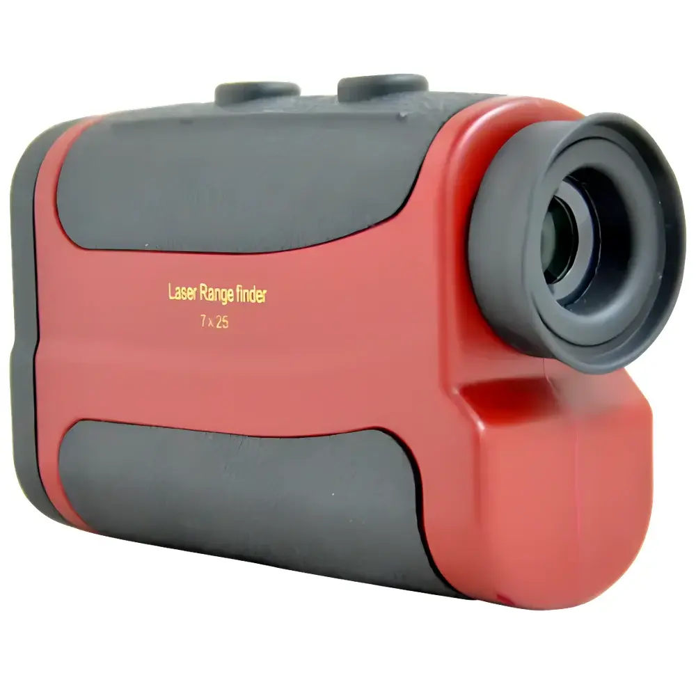
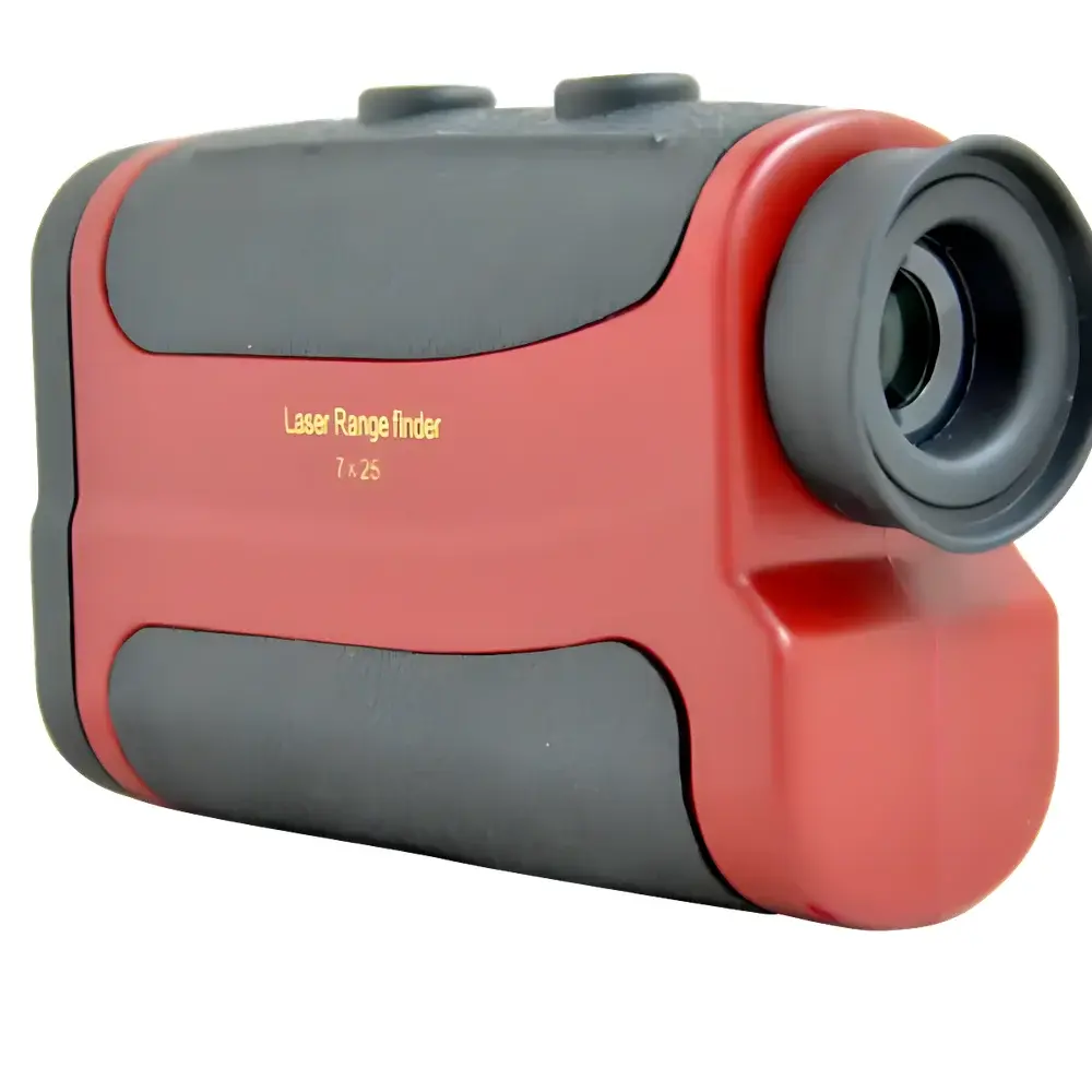
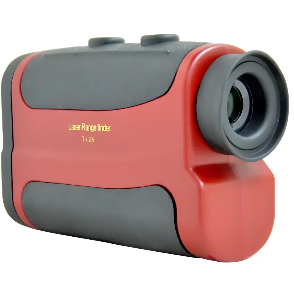
Loobo ONG300 Handheld Laser Distance Meter
| Brand | Loobo |
|---|---|
| Origin | Shandong, China |
| Model | ONG300 |
| Type | Handheld |
| Principle | Pulsed Time-of-Flight Laser Ranging |
| Measurement Range | 0–600 m |
| Accuracy | ±0.3 m |
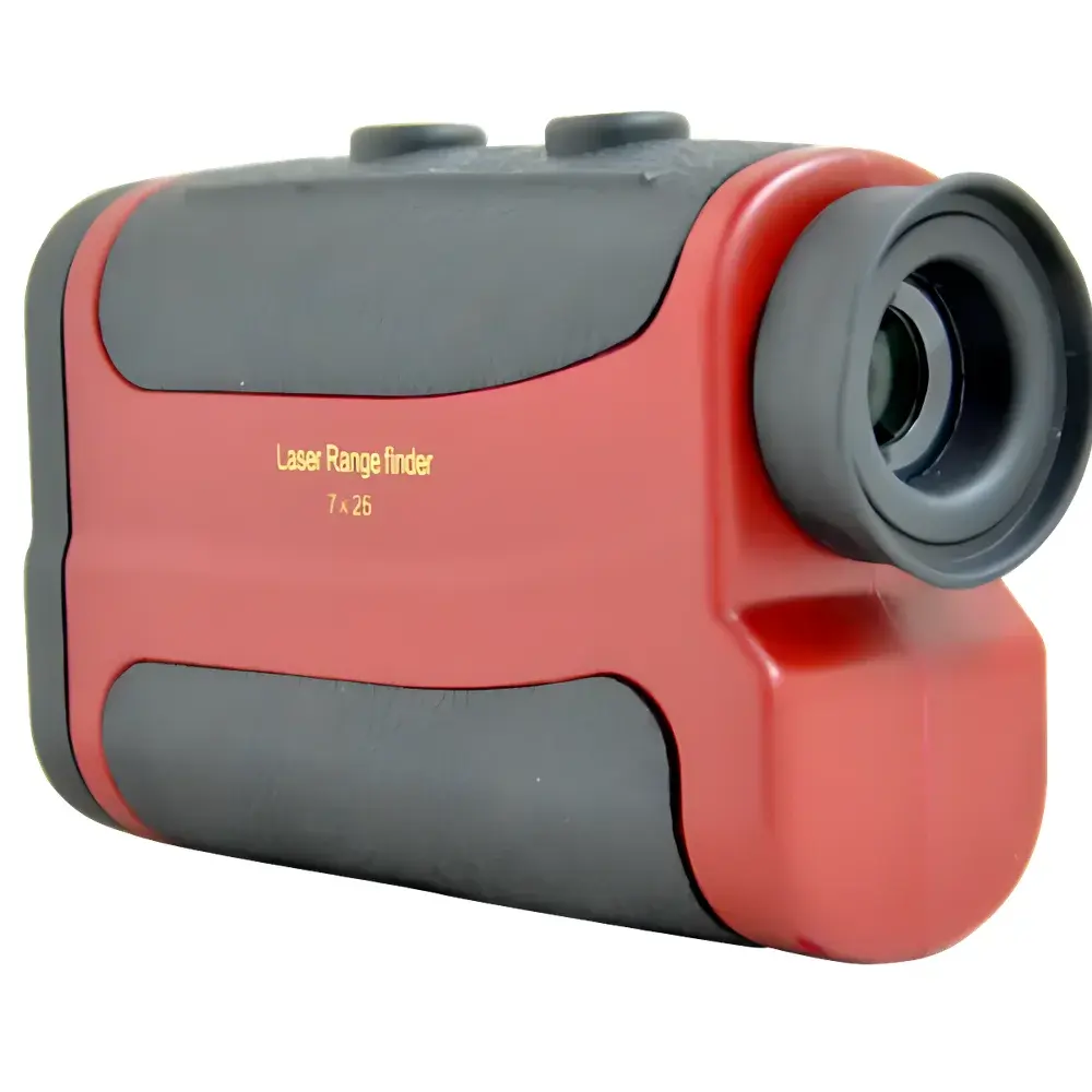
| Magnification | 7× |
| Objective Lens Diameter | 25 mm |
| Eyepiece Lens Diameter | 16 mm |
| Weight | ~195 g (with batteries) |
| IP Rating | IP54 |
| Operating Temperature | 0–40 °C |
| Laser Safety Class | IEC 60825-1 Class 1 |
| Measurement Modes | Distance, Height, Angle, Speed |
| Angular Range | ±90° |
| Angular Accuracy | <0.3° |
| Speed Measurement Error | ±5 km/h |
| Target Requirements | ≥2 m × 2 m surface area, near-perpendicular incidence, medium reflectivity (e.g., concrete wall), clear atmospheric conditions |
Overview
The Loobo ONG300 Handheld Laser Distance Meter is an industrial-grade, Class 1 eye-safe pulsed time-of-flight (ToF) laser instrument engineered for reliable field measurement in environmental monitoring, infrastructure inspection, and outdoor surveying applications. It operates by emitting a low-power, invisible infrared laser pulse toward a target and precisely measuring the round-trip time of flight to compute distance with high temporal resolution. Unlike phase-shift-based systems, the ToF architecture ensures consistent performance across diverse surface reflectivities—provided the target meets minimum size (≥2 m × 2 m), orientation (near-normal incidence), and environmental criteria (clear, non-precipitating, non-glare conditions). Its compact, ergonomic form factor and ruggedized housing support extended deployment in utility corridor patrols, railway right-of-way assessments, power line clearance verification, and municipal environmental compliance audits—where rapid, single-operator distance acquisition is critical to workflow efficiency and regulatory documentation.
Key Features
- Class 1 laser safety certification per IEC 60825-1: fully compliant for unrestricted use without protective eyewear under normal operating conditions.
- Integrated 7× optical monocular telescope with 25 mm objective lens and 16 mm eyepiece, enabling precise targeting at extended ranges while maintaining stable image brightness and edge definition.
- Multi-mode measurement capability: distance, vertical height (via inclinometer-assisted trigonometric calculation), horizontal angle, and relative speed (Doppler-enhanced estimation).
- IP54-rated enclosure: dust-protected and resistant to water splashes from any direction—suitable for field use in variable outdoor environments including light rain or dusty industrial zones.
- Real-time angular measurement over ±90° range with <0.3° resolution, supporting slope analysis, elevation profiling, and line-of-sight obstruction assessment.
- Battery-powered operation (standard AA cells) with typical runtime exceeding 8 hours under mixed-use conditions; weight optimized at ~195 g for prolonged handheld stability during site surveys.
Sample Compatibility & Compliance
The ONG300 delivers specified 600 m maximum range only when measuring against targets exhibiting medium diffuse reflectance (e.g., unpainted concrete, asphalt, or weathered metal surfaces) under ambient daylight—excluding direct solar exposure. Performance degrades significantly when targeting specular surfaces (e.g., smooth water, bare wire), sub-2 m² objects, or under atmospheric attenuation (fog, snow, heavy haze). The device conforms to international electromagnetic compatibility standards (IEC 61326-1) and carries CE marking for EMC and safety. While not certified to ISO/IEC 17025 for metrological traceability, its ±0.3 m distance accuracy aligns with ASTM E2747–20 requirements for field-deployable optical distance meters used in infrastructure condition reporting and environmental baseline mapping.
Software & Data Management
The ONG300 operates as a standalone instrument with no embedded Bluetooth or USB interface; all measurements are displayed in real time on a high-contrast LCD screen with backlighting for low-light readability. Data logging requires manual transcription or external recording. For integration into regulated workflows (e.g., utility asset management or EPA-mandated buffer zone verification), users may pair the device with third-party GIS or CMMS platforms via standardized field note templates. Though lacking FDA 21 CFR Part 11-compliant audit trails, its deterministic measurement algorithm and fixed firmware versioning support GLP-aligned documentation practices when combined with procedural SOPs and operator sign-off logs.
Applications
- Environmental monitoring: vegetation encroachment assessment along transmission corridors, wetland boundary delineation, landfill cover thickness verification.
- Infrastructure maintenance: overhead line sag measurement, tower base-to-conductor clearance checks, bridge deck deformation screening.
- Public safety: fire department pre-incident planning (structure setback distances), emergency response spatial awareness (e.g., hazardous material exclusion zones).
- Civil engineering support: rough topographic sketching, construction layout verification, road shoulder width validation.
- Railway operations: track alignment deviation estimation, signal mast positioning confirmation, platform edge proximity checks.
FAQ
What is the minimum target size required for reliable 600 m measurement?
A reflective surface of at least 2 m × 2 m is required under optimal atmospheric and incidence-angle conditions.
Can the ONG300 measure distance to power lines or thin poles?
No—its pulsed ToF design requires sufficient return signal energy; narrow-diameter or highly specular targets (e.g., wires, glass façades) typically yield unreliable or failed readings.
Is the device suitable for use in rain or fog?
It holds IP54 rating but is not designed for active measurement in precipitation or dense aerosol conditions; accuracy and maximum range degrade substantially in such environments.
Does the unit store measurement history or support data export?
No internal memory or connectivity is provided; all results must be recorded externally.
How does temperature affect measurement stability?
Calibrated for 0–40 °C operation; outside this range, thermal drift may exceed ±0.3 m specification without user recalibration.