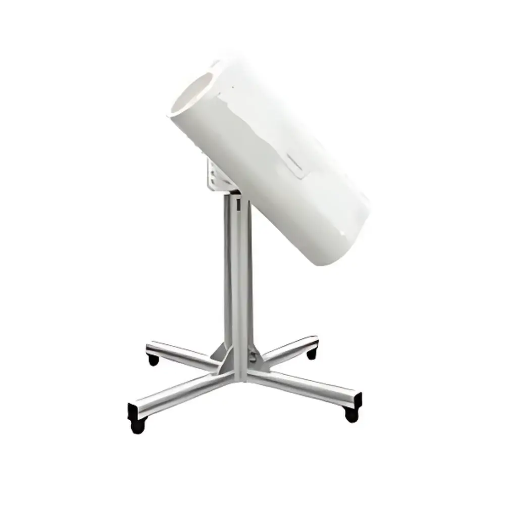
Portable 3D Visual Scanning LiDAR System
| Origin | USA |
|---|---|
| Manufacturer Type | Distributor |
| Origin Category | Imported |
| Model | Portable |
| Price Range | USD 1,400 – 7,200 (est.) |
| Laser Source | Pulsed Solid-State Nd:YAG (1064 nm) |
| Detector | High-Sensitivity Avalanche Photodiode (APD) Array |
| Operating Wavelength | 1064 nm |
| Maximum Detection Altitude | 8 km (a.s.l.) |
| Pulse Repetition Frequency | 4 kHz |
| Spatial Resolution | Adjustable (7.5 m / 15 m / 30 m) |
| Laser Safety Class | Class 3B (IEC 60825-1) |
| Enclosure Rating | IP65 |
| Power Supply | 220 V AC or 12 V DC (battery-compatible) |
| Scan Mechanism | Integrated European-Made 3D Galvanometric Motor (±90° azimuth, ±45° elevation) |
Overview
The Portable 3D Visual Scanning LiDAR System is a compact, field-deployable aerosol profiling instrument engineered for real-time, three-dimensional atmospheric monitoring. Based on elastic backscatter LiDAR principles, it emits short-pulse 1064 nm laser radiation and detects time-resolved return signals from atmospheric particulates—including dust, smoke, pollen, sea salt, and anthropogenic aerosols. Its core measurement output includes vertical profiles of aerosol extinction coefficient, planetary boundary layer (PBL) height, cloud base altitude, optical depth, and derived estimates of PM2.5 and PM10 mass concentrations—calibrated against reference nephelometry and gravimetric sampling per ISO 21501-4 and EPA Method EQOA-01. Designed for operational flexibility, the system integrates scanning optics, signal acquisition electronics, and embedded computing in a single ruggedized chassis—enabling rapid deployment across mobile, rooftop, roadside, and temporary monitoring scenarios without requiring permanent infrastructure.
Key Features
- Integrated 3D scanning architecture with high-precision galvanometric motor (±90° horizontal, ±45° vertical), enabling programmable conical, sector, and planar scan patterns for volumetric aerosol mapping
- Real-time co-registered visual imaging: Built-in HD daylight/low-light camera synchronized with LiDAR point cloud data, georeferenced to digital maps via integrated GNSS and inertial measurement unit (IMU)
- Class 3B eye-safe laser operation (1064 nm, pulse energy < 10 mJ, divergence < 0.5 mrad), compliant with IEC 60825-1:2014 and ANSI Z136.1-2022 standards
- Dual-power capability: Operates continuously on standard 220 V AC mains or portable 12 V DC battery packs (typical runtime ≥ 8 h), supporting unattended field campaigns
- IP65-rated monolithic enclosure with thermal management system, validated for continuous outdoor operation across −20 °C to +50 °C ambient conditions
- High temporal-spatial resolution: Adjustable range gate resolution (7.5 m / 15 m / 30 m) and 4 kHz pulse repetition frequency enable fine-scale detection of plume dynamics and boundary layer evolution
Sample Compatibility & Compliance
The system is optimized for ambient atmospheric sampling under diverse meteorological conditions—including low-visibility fog, haze, and mixed-phase clouds. It meets structural and performance requirements outlined in ISO 17025:2017 for environmental monitoring instrumentation and supports audit-ready data logging aligned with GLP and GMP documentation frameworks. Raw photon count data, calibrated extinction profiles, and metadata (timestamp, GPS coordinates, attitude, temperature, humidity) are stored in netCDF-4 format—compatible with WMO GAW and EMEP data submission protocols. All firmware and software components comply with EU RoHS 3 and REACH directives; laser emission parameters are certified by an accredited third-party test laboratory per EN 60825-1.
Software & Data Management
The LidarView Client v4.0 provides a browser-based or standalone Windows/Linux interface for instrument control, real-time visualization, and advanced post-processing. It supports automated PBL height detection (using wavelet covariance transform), cloud masking (via depolarization ratio thresholds), and aerosol typing (based on lidar ratio assumptions per EARLINET classification). Data export options include CSV, HDF5, and KML for GIS integration. Audit trails—including user login history, parameter changes, and calibration events—are recorded in accordance with FDA 21 CFR Part 11 requirements when configured for regulated environments. Remote diagnostics and firmware updates are supported over secure TLS 1.2 connections.
Applications
- Urban air quality source apportionment and spatial pollution hotspot identification
- Evidence-based environmental enforcement: Time-stamped, georeferenced plume tracking for regulatory compliance verification
- Investigation of anomalous readings from fixed-site air quality monitoring stations
- Rapid-response emission characterization during industrial incidents or wildfire events
- Pre-event baseline profiling and real-time air quality assurance for major public gatherings (e.g., Olympic Games, COP summits)
- Strategic siting of permanent monitoring networks using 3D dispersion modeling inputs derived from LiDAR-derived vertical structure
FAQ
What atmospheric parameters does this LiDAR directly measure?
It directly measures elastic backscatter signal intensity as a function of range and time; all derived products—including extinction coefficient, PBL height, and PM estimates—are computed via established inversion algorithms (e.g., Klett-Fernald) and empirical correlations validated against collocated reference instruments.
Is the system suitable for long-term unattended operation?
Yes—designed for continuous duty cycles with automatic self-calibration routines, internal temperature stabilization, and remote health monitoring. Requires periodic cleaning of optical windows and annual factory recalibration per ISO/IEC 17025 guidelines.
Can it distinguish between dust, smoke, and urban aerosol layers?
While single-wavelength operation limits definitive particle typing, multi-angle scanning combined with depolarization-capable configurations (optional upgrade) enables qualitative differentiation based on shape-induced depolarization signatures and vertical stratification behavior.
Does it support integration with existing air quality management platforms?
Yes—API access and standardized data exports (netCDF, JSON, OGC SensorThings API v1.1) allow seamless ingestion into platforms such as OpenAQ, AirNow, and national AQMS infrastructures.


