Thermopile-based Infrared Radiometer TIR-4
| Brand | Optec |
|---|---|
| Origin | Beijing, China |
| Manufacturer Type | Authorized Distributor |
| Country of Manufacture | China |
| Model | TIR-4 |
| Pricing | Available Upon Request |
| Spectral Range | 8–14 µm |
| Spectral Channels | 4 (8.2–9.4 µm, 9.4–10.6 µm, 10.6–11.8 µm, 11.8–13.0 µm) |
| Field of View | 53° zenith angle |
| Calibration Source | Integrated high-stability blackbody (±0.15 K uncertainty at 300 K) |
| Remote Operation | Yes (RS-485/Modbus & optional LTE/WiFi module) |
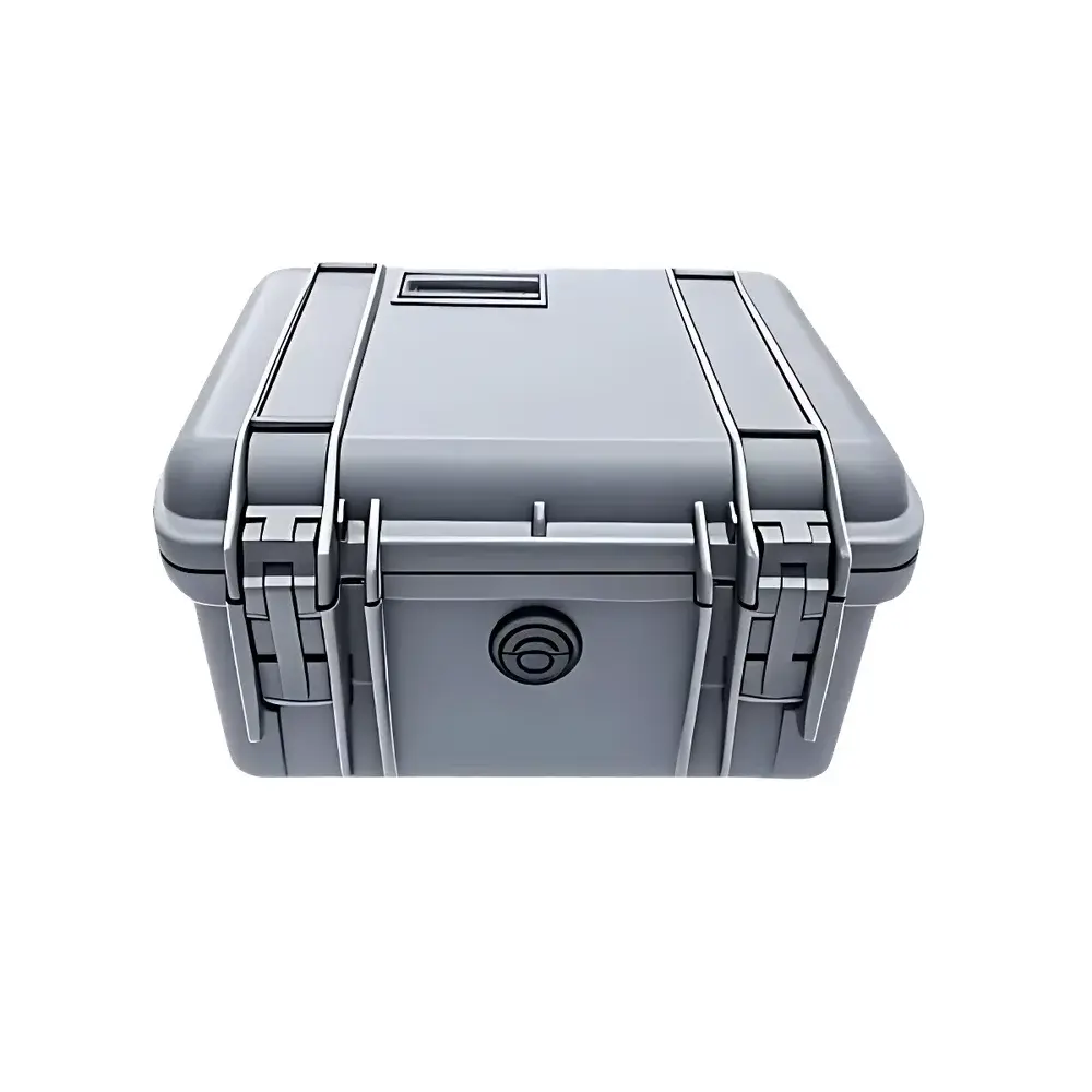
| UAV-Mountable | Yes (< 1.2 kg, 120 × 100 × 85 mm) |
| Data Logging | Internal SD card + real-time telemetry |
| Compliance | ISO 9078:2022 (Radiometric calibration traceability), ASTM E1933-21 (Infrared thermometry for surface temperature), GLP-compliant metadata tagging |
Overview
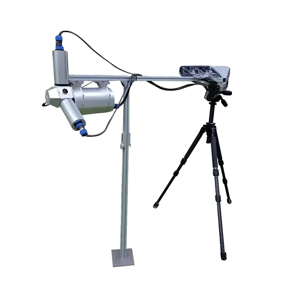
The Optec TIR-4 is a thermopile-based infrared radiometer engineered for high-stability, multi-spectral terrestrial remote sensing in unattended field deployments. Operating within the atmospheric window (8–14 µm), it implements calibrated narrowband spectral filtering to resolve four discrete radiance bands—8.2–9.4 µm, 9.4–10.6 µm, 10.6–11.8 µm, and 11.8–13.0 µm—enabling simultaneous retrieval of spectral radiance, brightness temperature, and emissivity-constrained land surface temperature (LST). Its core measurement principle relies on thermoelectric detection of incident infrared flux, referenced continuously against an integrated, temperature-stabilized blackbody cavity (±0.05 °C stability over 24 h). Unlike bolometric or pyroelectric sensors, the thermopile architecture ensures zero drift under diurnal thermal cycling and eliminates need for mechanical choppers—critical for long-term autonomous operation in harsh outdoor environments.
Key Features
- Onboard calibration blackbody with active temperature control (range: 263–333 K), traceable to NIM (National Institute of Metrology, China) standards
- Four independently filtered spectral channels optimized for atmospheric transmission and surface emissivity discrimination
- Fixed 53° zenith-angle optical configuration enabling consistent nadir viewing geometry across ground and UAV platforms
- Low-power embedded controller supporting scheduled measurements, self-diagnostics, and automatic dark-current compensation
- Ruggedized aluminum housing (IP67-rated) with passive thermal management—operational from −25 °C to +50 °C ambient
- Remote command interface via RS-485 (Modbus RTU) and optional LTE/WiFi telemetry for real-time data streaming and firmware updates
Sample Compatibility & Compliance
The TIR-4 is designed for non-contact radiometric observation of natural surfaces—including bare soil, vegetation canopies, snow/ice, and inland water bodies—without requiring physical contact or spectral reflectance assumptions. It complies with ISO 9078:2022 for infrared radiometer calibration traceability and meets ASTM E1933-21 requirements for field-deployable infrared thermometers used in environmental monitoring. All radiometric outputs include embedded metadata (timestamp, instrument temperature, blackbody reference status, GPS coordinates when interfaced) to support GLP-aligned data governance. While not FDA-regulated, its data structure and audit trail capabilities align with principles of 21 CFR Part 11 for electronic records in research-grade environmental instrumentation.
Software & Data Management
Optec provides the TIR-4 Control Suite—a cross-platform desktop application (Windows/macOS/Linux) supporting configuration, real-time visualization, and batch processing of raw thermopile voltages into calibrated spectral radiance (W·sr⁻¹·m⁻²) and brightness temperature (K). Raw binary logs are stored on removable microSD cards with timestamped file naming and CRC-32 checksums. The optional TIR-4 Telemetry Gateway enables MQTT-based transmission to cloud platforms (e.g., AWS IoT Core, Azure IoT Hub) with TLS 1.2 encryption. All exported datasets conform to CF (Climate and Forecast) Metadata Conventions v1.8, facilitating interoperability with ENVI, GDAL, and Python-based Earth observation toolchains (e.g., xarray, rasterio).
Applications
- Long-term automated monitoring of land surface temperature (LST) and emissivity dynamics in arid and semi-arid ecosystems (e.g., Qaidam Basin,格尔木 site)
- UAV-borne thermal surveying for precision agriculture—mapping canopy temperature gradients to infer stomatal conductance and water stress
- Validation of satellite-derived LST products (e.g., MODIS, Landsat-8 TIRS, Sentinel-3 SLSTR) through vicarious calibration protocols
- Surface energy balance modeling where multi-channel brightness temperatures constrain atmospheric correction and emissivity partitioning
- Field intercomparison campaigns involving multi-sensor networks (e.g., combined with PAR sensors, net radiometers, and eddy covariance systems)
FAQ
Does the TIR-4 require periodic factory recalibration?
No—its onboard blackbody and thermopile design supports continuous self-referencing; however, annual verification against an accredited secondary standard (e.g., NIST-traceable blackbody) is recommended per ISO/IEC 17025 guidelines.
Can the TIR-4 be synchronized with other environmental sensors?
Yes—via TTL-level trigger input or Modbus time-synchronization commands, enabling precise temporal alignment with PAR meters, soil moisture probes, or sonic anemometers.
What is the minimum integration time per spectral channel?
100 ms per channel, configurable up to 10 s for low-signal conditions (e.g., night-time observations or high-altitude deployment).
Is spectral response data available for each channel?
Yes—full spectral responsivity curves (±0.5 nm resolution) and FWHM values are provided in the calibration certificate and accessible via the Control Suite’s “Sensor Profile” module.
How is geolocation handled during UAV flights?
The TIR-4 accepts external NMEA 0183 GGA/GSA messages via UART; position and attitude metadata are embedded directly into each radiance record.