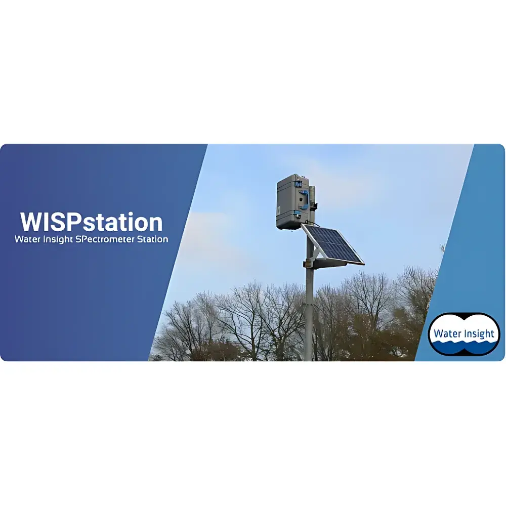
Zealquest WISP Station Full-Spectrum Water Quality Monitoring System
| Brand | Zealquest |
|---|---|
| Origin | Netherlands |
| Manufacturer Type | Authorized Distributor |
| Product Origin | Imported |
| Model | WISP Station |
| Measurement Principle | Hyperspectral reflectance measurement in visible and near-infrared (350–900 nm) with 4.6 nm spectral resolution |
| Spectral Range | 220–1000 nm |
| Measurable Parameters | Surface reflectance, water color, chlorophyll-a (phytoplankton), phycocyanin (cyanobacteria), algal bloom presence, Secchi depth/turbidity, total suspended matter (TSM), and diffuse attenuation coefficient (Kd) |
| Spectral Resolution | 4.65 nm FWHM |
| Grating | 300 lines/mm, blaze wavelength 300 nm |
| Slit Width | 100 µm |
| Stray Light | < 0.2% |
| Environmental Rating | IP67 enclosure with integrated temperature & humidity logging |
| Data Transmission | Cellular (LTE-M/NB-IoT) to WISPcloud platform |
| Power Supply | Solar panel + rechargeable LiFePO₄ battery |
| Default Sampling Interval | 15 min (configurable down to 2 min) |
| Compliance | Designed for ISO 17025-aligned field calibration workflows |
Overview
The Zealquest WISP Station is a fully autonomous, above-water hyperspectral monitoring system engineered for continuous, reagent-free characterization of inland and coastal surface waters. Operating on the physical principle of water-leaving radiance spectroscopy, it quantifies the ratio of upwelling radiance from the water surface to downwelling sky irradiance—yielding spectrally resolved surface reflectance (ρrs) across 220–1000 nm. Unlike submersible probes, the WISP Station’s optical head is mounted above the water surface, eliminating biofouling interference and enabling long-term deployment (>12 months) without manual cleaning or recalibration. Its core spectral engine employs a high-stability Czerny-Turner spectrometer with a 300 lines/mm grating (blaze at 300 nm), 100 µm entrance slit, and dual cosine-corrected irradiance sensors—ensuring accurate separation of skylight, direct solar irradiance, and water-reflected radiance under dynamic illumination conditions. The system automatically compensates for solar zenith angle and selects optimal viewing geometries to minimize specular reflection artifacts, thereby enhancing reproducibility of ρrs measurements critical for quantitative remote sensing validation.
Key Features
- Fully autonomous operation: solar-powered with LiFePO₄ battery bank and LTE-M/NB-IoT cellular telemetry for real-time data upload to WISPcloud
- Above-water optical architecture: eliminates biofouling impact on sensor windows and ensures stable long-term performance in eutrophic or brackish environments
- Hyperspectral fidelity: 4.65 nm full-width-at-half-maximum (FWHM) resolution across 220–1000 nm enables discrimination of narrow-band absorption features (e.g., chlorophyll-a peak at 672 nm, phycocyanin shoulder near 620 nm)
- Integrated environmental monitoring: onboard temperature and enclosure humidity logging support diagnostic QA/QC and thermal drift correction
- Configurable temporal resolution: sampling intervals adjustable from 2 minutes (e.g., synchronized with satellite overpasses) to hourly, programmable remotely via cloud interface
- Radiometric traceability: calibrated against NIST-traceable standards; supports field validation using portable reference panels and concurrent in situ water sampling per ISO 17025 practices
Sample Compatibility & Compliance
The WISP Station is validated for use across diverse aquatic systems—including lakes, reservoirs, rivers, estuaries, aquaculture ponds, and dredged channels—with no sample pretreatment required. Its non-contact measurement modality avoids flow-cell clogging, chemical interference, or matrix effects common in wet-chemistry analyzers. All algorithms for deriving chlorophyll-a, phycocyanin, TSM, and Kd are grounded in peer-reviewed radiative transfer models (e.g., QAA, GARL) and validated against extensive in situ datasets collected in collaboration with EU JRC, NASA ACVE, and national water authorities. While not a certified laboratory instrument per ISO/IEC 17025, its design adheres to GLP-aligned field data integrity principles: each measurement includes embedded timestamps, GPS coordinates, sensor health flags, and raw spectral metadata. Output datasets comply with OGC SensorThings API standards and are structured to support FAIR data principles (Findable, Accessible, Interoperable, Reusable).
Software & Data Management
Data acquisition, processing, and dissemination occur within the secure WISPcloud platform—a cloud-native infrastructure compliant with GDPR and ISO 27001 information security standards. Upon ingestion, raw spectra undergo automated dark-current subtraction, stray-light correction (<0.2%), and geometric normalization. Reflectance calculations follow the standard three-component model (direct sun, diffuse sky, water-leaving radiance), with optional atmospheric correction using MODIS aerosol optical depth inputs. Parameter retrieval employs physics-guided inversion routines—not empirical regressions—ensuring robustness across optical water types (Case-1 and Case-2). Processed time series are stored with full audit trails, including versioned algorithm metadata and user-initiated reprocessing events. APIs (RESTful JSON) enable integration with SCADA systems, hydrological forecasting models, and machine learning pipelines (e.g., LSTM-based algal bloom prediction). Audit logs meet FDA 21 CFR Part 11 requirements for electronic records and signatures where applicable.
Applications
- Operational water quality surveillance: Early detection of cyanobacterial blooms via phycocyanin dynamics and chlorophyll-a anomaly thresholds
- Satellite product validation: Ground-truthing of Sentinel-3 OLCI, Landsat 9 OLI, and PlanetScope water quality retrievals at pixel scale
- Aquaculture management: Real-time monitoring of phytoplankton biomass and turbidity to optimize feeding schedules and aeration
- Dredging impact assessment: Quantifying resuspension plumes through TSM and Kd time-series during and after excavation
- Climate resilience studies: Long-term trend analysis of Secchi depth, CDOM absorption, and phytoplankton phenology under changing hydroclimatic regimes
- Regulatory compliance reporting: Automated generation of EPA-recommended water quality indicators (WQIs) aligned with USGS NWIS and EU WFD reporting formats
FAQ
How does the WISP Station differ from traditional in-situ water quality sondes?
It measures surface reflectance optically from above water—avoiding biofouling, calibration drift, and maintenance cycles associated with submerged sensors.
Can it operate under cloudy or low-light conditions?
Yes—its high quantum efficiency CCD detector and optimized signal-to-noise ratio allow reliable measurements down to 10,000 lux; however, data flagged as “low SNR” are excluded from primary parameter retrieval.
Is satellite data integration mandatory?
No—WISPcloud supports standalone operation, but satellite co-location enhances spatial context and enables cross-platform uncertainty quantification.
What level of technical expertise is required for installation?
Field deployment requires basic mounting hardware and GPS alignment; all optical alignment, spectral calibration, and firmware updates are performed remotely via cloud interface.
How is data security ensured during cellular transmission?
All telemetry uses TLS 1.3 encryption; device authentication employs X.509 certificates, and WISPcloud enforces role-based access control (RBAC) with SSO integration.
Related Products


