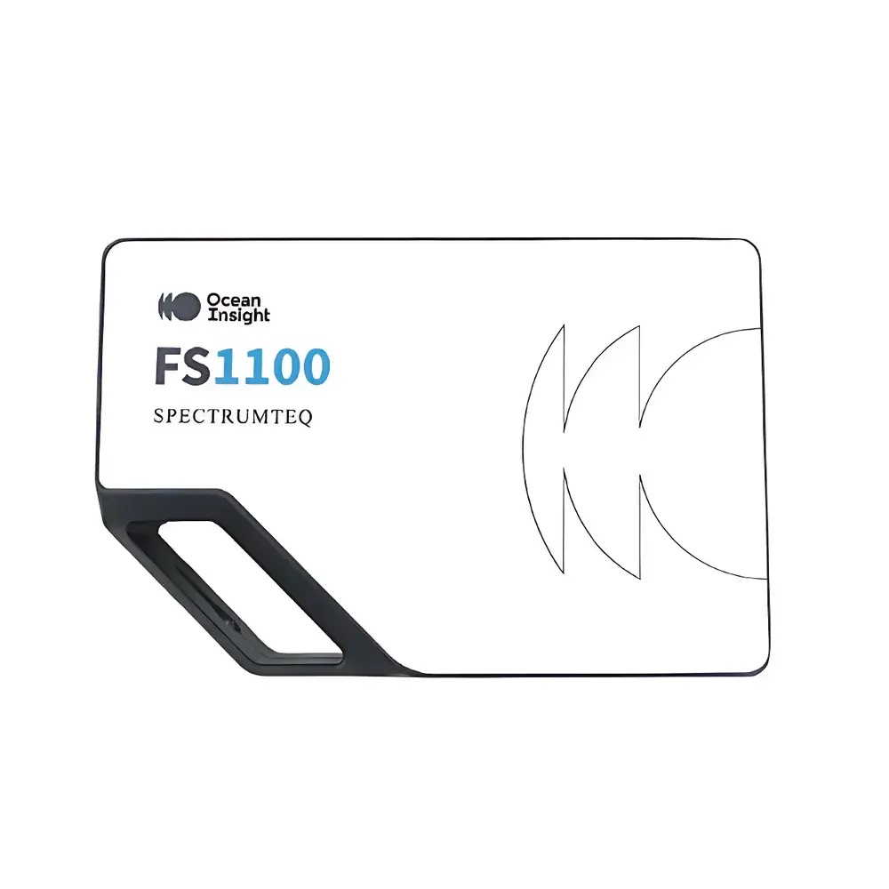
Ocean Optics FS1100 Handheld Field Spectroradiometer
| Brand | Ocean Optics |
|---|---|
| Origin | USA |
| Model | FS1100 |
| Spectral Range | 300–1100 nm |
| Detector | CCD array |
| Optical Resolution (FWHM) | 1.3 nm |
| Signal-to-Noise Ratio | 450:1 |
| Dynamic Range | 8000:1 |
| Stray Light | <0.05% at 600 nm |
| Display | Monochrome e-ink screen |
| Battery | Removable 4200 mAh Li-ion, >6 h continuous operation |
| Interface | Android-based acquisition app + Windows-compatible spectral processing software |
| Data Export Formats | .txt, .csv, .m |
| Mounting | Adjustable tripod-compatible handle (29–88 cm height range) |
| Integrated features | Motorized shutter, auto-exposure, embedded image/audio annotation |
Overview
The Ocean Optics FS1100 is a field-deployable, handheld spectroradiometer engineered for high-fidelity reflectance spectroscopy of terrestrial and aquatic surfaces under natural illumination conditions. Operating across the full solar-responsive spectral domain—from ultraviolet-A through visible to near-infrared (300–1100 nm)—the FS1100 employs a thermoelectrically stabilized, back-thinned CCD detector with peak quantum efficiency up to 75% at 600 nm. Its optical architecture follows a Czerny-Turner configuration with optimized fiber-coupled input, delivering a nominal spectral resolution of 1.3 nm (FWHM), enabling discrimination of narrow absorption features critical in vegetation pigment analysis, mineral identification, and water constituent quantification. Unlike laboratory-grade benchtop spectrometers, the FS1100 is purpose-built for outdoor radiometric integrity: its calibrated cosine-corrected foreoptic ensures accurate hemispherical irradiance capture, while built-in dark-current compensation and real-time auto-exposure maintain measurement fidelity across rapidly changing ambient light conditions—essential for diurnal or spatially heterogeneous field campaigns.
Key Features
- High-sensitivity back-illuminated CCD detector with 450:1 signal-to-noise ratio (at full integration time) and 8000:1 dynamic range—enabling robust detection of low-reflectance targets (e.g., deep-water bodies or dark soils) without saturation of bright surfaces (e.g., snow or concrete).
- Optical stray light suppression <0.05% at 600 nm—critical for accurate retrieval of weak absorption features in the red-edge and NIR regions where chlorophyll and water absorption bands reside.
- Ergonomic, height-adjustable handle (29–88 cm) with integrated e-ink display—providing sunlight-readable interface operation and reduced visual fatigue during extended field use; display remains legible under direct solar irradiance (>100,000 lux).
- Integrated motorized shutter and auto-exposure algorithm—eliminating manual exposure tuning and ensuring optimal integration time per measurement, even under variable cloud cover or canopy gaps.
- On-device annotation capability: each spectrum can be tagged with georeferenced RGB images, voice memos, and user-defined metadata—supporting traceable, auditable field records compliant with FAIR (Findable, Accessible, Interoperable, Reusable) data principles.
- Low-power architecture: 4200 mAh removable lithium-ion battery sustains ≥6 hours of continuous spectral acquisition, including display refresh, GPS logging, and wireless data sync.
Sample Compatibility & Compliance
The FS1100 is designed for non-contact, non-destructive reflectance measurements of natural and anthropogenic surfaces—including vegetation canopies, soil profiles, inland and coastal water bodies, rock outcrops, and agricultural crops—under ambient solar illumination. It complies with ASTM E275–21 (Standard Practices for Describing and Measuring Performance of UV-Visible-NIR Spectrophotometers) and ISO 17123-9:2020 (Optics and photonics — Field procedures for testing geospatial imaging sensors — Part 9: Reflectance calibration). While not a certified reference instrument, its factory radiometric calibration (NIST-traceable tungsten-halogen and deuterium lamp sources) supports quantitative reflectance derivation when used with standardized white reference panels (e.g., Spectralon® 99% diffuse reflector). The system meets electromagnetic compatibility requirements per FCC Part 15 Class B and CE RED Directive 2014/53/EU.
Software & Data Management
Field acquisition is managed via a dedicated Android application (compatible with Android 8.0+), supporting Bluetooth 5.0 and Wi-Fi 802.11ac for real-time telemetry and remote triggering. Raw spectral data (intensity vs. wavelength) are stored in vendor-neutral formats (.txt, .csv) and MATLAB-compatible binary (.m) files. Post-acquisition processing is performed using OceanView Spectral Suite (Windows 10/11, 64-bit), which provides wavelength calibration validation, dark/bias subtraction, reflectance normalization, spectral smoothing (Savitzky-Golay), derivative analysis, and band-depth/area calculations. Audit trails—including timestamp, GPS coordinates, exposure parameters, and calibration file version—are embedded in metadata headers, facilitating GLP-aligned documentation and FDA 21 CFR Part 11–compliant electronic record management when deployed in regulated environmental monitoring programs.
Applications
- Remote sensing validation: Ground-truthing of satellite and UAV-based multispectral/hyperspectral sensors (e.g., Sentinel-2, Landsat 9, PRISMA) through synchronized in situ reflectance sampling.
- Plant phenotyping: Quantification of NDVI, PRI, and other spectral indices correlated with chlorophyll content, carotenoid dynamics, water stress, and nitrogen status across breeding trials or precision agriculture plots.
- Soil and water quality assessment: Detection of organic matter content, iron oxide abundance, turbidity, chlorophyll-a concentration, and CDOM (colored dissolved organic matter) via diagnostic absorption features between 400–900 nm.
- Forestry and ecosystem monitoring: Discrimination of species composition, leaf area index estimation, and post-disturbance recovery tracking using spectral trajectory analysis.
- Environmental compliance surveys: Supporting EPA Method 1666 (inland water reflectance) and ISO 10265 (soil spectral characterization) protocols for regulatory reporting and long-term ecological research networks (e.g., NEON, LTER).
FAQ
Is the FS1100 suitable for underwater reflectance measurements?
No—the FS1100 is optimized for above-water, downwelling irradiance and surface reflectance. For in-water profiling, Ocean Optics recommends the QE Pro-Raman or Flame-NIR configured with immersion-rated optics and pressure housings.
Can the instrument be calibrated in-field without returning to the lab?
Yes—users may perform routine radiometric recalibration using optional NIST-traceable white reference standards (e.g., WS-1-CAL) and dark-current verification routines accessible via the Android app.
Does the system support GPS synchronization with spectral acquisitions?
Yes—integrated GNSS (GPS + GLONASS + Galileo) provides sub-5-meter horizontal accuracy and timestamps each spectrum with UTC-aligned geolocation metadata.
What spectral resampling or binning options are available in post-processing?
OceanView supports user-defined spectral rebinning (e.g., to match MODIS or Sentinel-2 bandpasses), Savitzky-Golay filtering (3rd-order, 7-point), and conversion to reflectance factor (ρ) using standard reference panel measurements.
Is the FS1100 compatible with third-party GIS or statistical platforms?
Yes—exported .csv files contain wavelength-indexed intensity columns and embedded metadata headers, enabling direct import into ArcGIS Pro, QGIS, R (hyperSpec, speccy), Python (NumPy, SciPy, scikit-learn), and ENVI.
Related Products


")