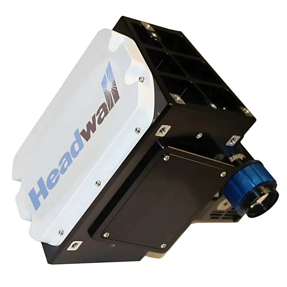
HeadWall Solar-Induced Fluorescence High-Resolution Airborne Hyperspectral Imager for Chlorophyll Fluorescence Detection
| Brand | HeadWall |
|---|---|
| Origin | USA |
| Manufacturer Status | Authorized Distributor |
| Import Category | Imported |
| Model | Solar-Induced Fluorescence |
| Operating Principle | Push-broom |
| Deployment Mode | Ground-based & Airborne |
| Spectral Range | 670–780 nm |
| Spectral Resolution | ≤0.2 nm (FWHM) |
| Total Spectral Channels | 2160 |
| Spatial Pixels | 1600 |
| Field of View (TFOV) | 23.5° (with 25 mm lens) |
| Instantaneous Field of View (IFOV) | 0.256 mrad |
| Frame Rate | ≤100 Hz |
| Weight (incl. 25 mm lens) | 6.3 kg |
Overview
The HeadWall Solar-Induced Fluorescence High-Resolution Airborne Hyperspectral Imager is a purpose-engineered optical remote sensing instrument designed to quantify solar-induced chlorophyll fluorescence (SIF) with high spectral fidelity in the red and far-red spectral regions (670–780 nm). It operates on the push-broom scanning principle, utilizing a reflective concentric optical architecture and a master holographic diffraction grating to preserve radiometric integrity and minimize stray light—critical for detecting weak fluorescence signals embedded within reflected solar radiation. SIF measurement relies on the photochemical re-emission of photons by chlorophyll-a following absorption of photosynthetically active radiation (PAR); this signal serves as a direct, non-invasive proxy for actual photosynthetic efficiency and plant physiological status. The system’s ≤0.2 nm FWHM spectral resolution enables unambiguous separation of the narrow O2-A (760 nm) and O2-B (687 nm) atmospheric absorption features, which are essential for differential optical absorption spectroscopy (DOAS)-based SIF retrieval algorithms and for atmospheric correction in large-area vegetation monitoring.
Key Features
- Reflective concentric optical design optimized for minimal polarization sensitivity and high throughput across the 670–780 nm band
- Scientific-grade master holographic grating delivering stable, low-stray-light dispersion with ≤0.2 nm FWHM spectral resolution
- 2160 contiguous spectral channels with 1600 spatial pixels per line, enabling high-fidelity spectral-spatial data cubes
- Modular integration capability for airborne platforms (e.g., fixed-wing UAVs, helicopters) and ground-based tripod or vehicle-mounted deployments
- Thermally stabilized optomechanical housing ensuring spectral calibration retention under variable environmental conditions
- Low-noise, high-dynamic-range CMOS detector array with 16-bit digitization and programmable exposure control
Sample Compatibility & Compliance
This imager does not require physical sample contact or preparation; it acquires passive, sunlit reflectance and fluorescence radiance from natural or managed vegetation canopies at standoff distances. Its spectral band placement aligns with internationally recognized SIF retrieval windows defined in ESA’s FLEX mission specifications and NASA’s OCO-2/OCO-3 validation protocols. Data products support compliance with FAO’s Global Forest Resources Assessment (FRA) reporting frameworks and are compatible with Level 1–3 processing chains compliant with CEOS (Committee on Earth Observation Satellites) standards. While the instrument itself is not certified to ISO/IEC 17025, its raw data output meets the traceability and metadata requirements for GLP-aligned ecological field studies when operated with calibrated radiometric references (e.g., NIST-traceable reflectance panels and irradiance sensors).
Software & Data Management
The system ships with HeadWall’s Hyperspec® acquisition software, supporting real-time preview, onboard GPS/IMU synchronization (via optional external GNSS-INS), and lossless data streaming to solid-state storage. Raw data is exported in ENVI-compatible BIL format with full header metadata—including wavelength calibration coefficients, dark current maps, and detector gain settings. Post-processing workflows integrate seamlessly with open-source tools such as Python-based Py6S (for atmospheric correction), FluorSpec (for SIF retrieval using Fraunhofer Line Depth and singular value decomposition methods), and GDAL/OGR for geospatial raster-vector interoperability. Audit trails, user access logs, and version-controlled processing scripts can be implemented to satisfy FDA 21 CFR Part 11 and ISO 9001 documentation requirements in regulated environmental monitoring programs.
Applications
- Large-scale estimation of gross primary productivity (GPP) across agricultural zones, forests, and wetlands
- Detection of early-stage plant stress responses to drought, nutrient deficiency, or pathogen infestation prior to visible symptom onset
- Supporting NASA’s G-LiHT (Gamma-spectrometer, LiDAR, Hyperspectral, Thermal) airborne observatory for forest structural and functional trait mapping
- Validation of spaceborne SIF products from TROPOMI, GOME-2, and upcoming FLEX missions
- Quantitative assessment of invasive species distribution and canopy-level photosynthetic heterogeneity in biodiversity conservation projects
- Calibration and validation of terrestrial biosphere models incorporating dynamic carbon assimilation parameters
FAQ
What distinguishes this imager from conventional vegetation NDVI sensors?
It measures passive solar-induced fluorescence—not just reflectance—providing a direct biophysical indicator of photosynthetic electron transport rate, whereas NDVI is a broadband vegetation index sensitive to canopy structure but insensitive to physiological function.
Can the system operate effectively under partial cloud cover?
Yes—its high spectral resolution and narrowband detection capability allow robust SIF retrieval even under diffuse illumination, provided sufficient photon flux is available; however, clear-sky conditions yield optimal signal-to-noise ratios for quantitative modeling.
Is radiometric calibration required before each flight campaign?
Factory calibration is valid for 12 months; however, pre- and post-flight panel-based relative radiometric calibration using certified reflectance standards is strongly recommended for scientific-grade SIF quantification.
Does the system support real-time georeferencing?
Yes—when integrated with a compatible GNSS-INS unit (e.g., Applanix APX-15), it delivers geotagged hyperspectral linescans with sub-meter positional accuracy and roll/pitch/yaw metadata embedded in the data header.
What is the minimum detectable SIF radiance at 740 nm under typical midday illumination?
Based on system-level noise-equivalent spectral radiance (NESR) modeling and field validation, the practical detection limit is approximately 0.5 mW·m−2·sr−1·nm−1 for a 1-second integration time over a 1-m² canopy pixel at 100 m altitude.
Related Products
")


