Spectrum 2900ET Visual Agro-Phenotyping Field Monitoring System
| Origin | USA |
|---|---|
| Manufacturer Type | Authorized Distributor |
| Import Status | Imported |
| Model | 2900ET |
| Instrument Category | Multiparameter Agricultural Weather Station |
| Wind Direction Resolution | 1°, Accuracy: ±3° |
| Wind Speed Range | 0.1–322 km/h, Accuracy: ±5% |
| Air Temperature Range | −32 to 100°C, Accuracy: ±0.5°C |
| Relative Humidity Range | 10–100% RH (5–50°C), Accuracy: ±3% |
| Rainfall Resolution | 0.25 mm, Accuracy: ±2% |
| Solar Radiation Range | 0–1500 W·m⁻², Accuracy: ±5% |
| Dew Point Range | −73 to 60°C, Accuracy: ±2°C |
| PAR Sensor Range | 0–2500 µmol·m⁻²·s⁻¹ |
| UV Radiation Range | 250–400 nm, 0–200 µmol·m⁻²·s⁻¹, Accuracy: ±5% |
| Barometric Pressure (Standard) | 880–1080 hPa, Accuracy: ±1.7 hPa |
| (High-Altitude) | 635–1121 hPa, Accuracy: ±1.9 hPa |
| CO₂ Concentration Range | 0–4000 ppm, Accuracy: ±5% |
| Soil Temperature Range | 0–80°C, Resolution: 0.1°C, Accuracy: ±0.6°C |
| Volumetric Water Content Range | 0–saturation, Resolution: 0.1%, Accuracy: ±3% |
| Soil Electrical Conductivity Range | 0–10 mS·cm⁻¹, Resolution: 0.01 mS·cm⁻¹, Accuracy: ±2% |
| Leaf Wetness Scale | 0 (dry) to 15 (wet) |
| Imaging Module | Programmable time-lapse capture with metadata tagging |
| Data Transmission | Cellular or Ethernet-based remote upload to user-defined server or cloud platform |
Overview
The Spectrum 2900ET Visual Agro-Phenotyping Field Monitoring System is a modular, research-grade environmental observation platform engineered for high-fidelity, long-term phenotypic data acquisition in agricultural and ecological field trials. It integrates synchronized multispectral imaging with calibrated meteorological, edaphic, and plant physiological sensing to support quantitative agro-phenotyping workflows. Unlike conventional weather stations, the 2900ET employs a time-synchronized architecture where image capture events are precisely timestamped and georeferenced alongside concurrent sensor measurements—including air temperature, relative humidity, wind vector, solar irradiance, precipitation, soil water content, soil temperature, electrical conductivity, CO₂ concentration, leaf wetness, and optional UV/PAR spectral bands. This temporal and spatial alignment enables rigorous correlation analysis between visual canopy traits (e.g., green fraction, canopy height, lodging incidence, senescence progression) and environmental drivers—critical for genotype-by-environment (G×E) studies, irrigation scheduling validation, drought stress phenotyping, and climate-resilient crop breeding programs.
Key Features
- Programmable high-resolution imaging module with adjustable exposure, white balance, and scheduled time-lapse intervals (1 min to 24 hr); supports JPEG and RAW formats with embedded EXIF metadata including GPS coordinates, UTC timestamp, and sensor state flags.
- Modular sensor architecture compliant with ISO 21501-4 (aerosol/ambient particle counting principles adapted for environmental optics) and ASTM E2913 (standard practice for digital image acquisition in field phenotyping).
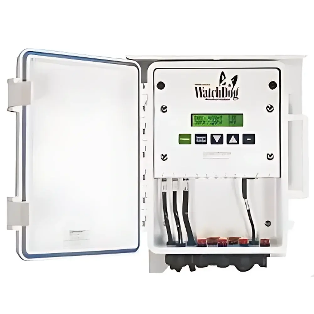
- Industrial-grade enclosure rated IP67 for continuous outdoor deployment under extreme thermal, UV, and moisture exposure; operating temperature range extends from −30°C to +60°C ambient.
- Dual-mode connectivity: LTE-M/NB-IoT cellular uplink with fallback to wired Ethernet or Wi-Fi; supports TLS 1.2 encrypted transmission and configurable MQTT/HTTP(S) endpoints for integration into institutional data lakes or LIMS platforms.
- Onboard SD card logging (up to 128 GB) ensures local redundancy during network outages; all sensor data and images are stored with SHA-256 checksums for auditability.
- Field-configurable via Bluetooth-enabled mobile app or web interface; firmware updates delivered over-the-air with signed package verification per NIST SP 800-193 guidelines.
Sample Compatibility & Compliance
The 2900ET is validated for deployment across diverse agroecosystems—including row crops (maize, soybean, cotton), cereals (wheat, rice, barley), orchards, vineyards, and native grassland plots. Its sensor suite meets IEC 61262-2 (radiation measurement instrumentation) and WMO Guide to Meteorological Instruments and Methods of Observation (CIMO Guide, Chapter 12) specifications for field-deployed environmental monitoring. All analog and digital sensors undergo factory calibration traceable to NIST standards, with documented uncertainty budgets provided in the Certificate of Conformance. The system supports GLP-compliant operation through configurable audit trails, user access controls, and electronic signature capability when integrated with compliant laboratory information management systems (LIMS). It is suitable for studies requiring adherence to USDA ARS experimental protocols, FAO CropWat modeling inputs, and EFSA environmental risk assessment frameworks.
Software & Data Management
Data acquisition and visualization are managed through Spectrum’s proprietary FieldScout Connect software (v5.2+), which provides real-time dashboarding, automated anomaly detection (e.g., sensor drift, image occlusion), and batch export in CF-NetCDF 1.8 format—a community standard for climate and ecological time-series data endorsed by the Earth System Grid Federation (ESGF). Raw image datasets are organized using the MIAPPE 1.1 (Minimum Information About a Plant Phenotyping Experiment) metadata schema, ensuring interoperability with international repositories such as the European Plant Phenotyping Network (EPPN2020) and the USDA National Agricultural Library’s Ag Data Commons. Software modules support automated trait extraction pipelines when paired with third-party computer vision tools (e.g., Python-based PlantCV or DeepPlant), and include built-in QC filters for motion blur, lens flare, and vignetting correction.
Applications
- Long-term phenotypic monitoring of breeding nurseries under natural field conditions, supporting selection indices for heat tolerance, water-use efficiency, and disease resistance.
- Validation of satellite- and UAV-derived vegetation indices (e.g., NDVI, EVI, LAI) using ground-truthed, co-located spectral and structural imagery.
- Soil–plant–atmosphere continuum (SPAC) modeling, integrating real-time transpiration estimates derived from leaf wetness, VPD, and stomatal conductance proxies.
- Regulatory environmental monitoring for EPA Section 404 permitting, USDA Conservation Stewardship Program (CSP) reporting, and EU Common Agricultural Policy (CAP) eco-scheme verification.
- Educational use in agronomy, environmental science, and remote sensing curricula—providing students with authentic, timestamped, multimodal field datasets.
FAQ
Is the 2900ET compatible with existing farm management software (e.g., Climate FieldView, Granular, FarmLogs)?
Yes—via RESTful API and standardized CSV/GeoJSON exports; custom middleware connectors are available upon request for enterprise integrations.
Can imaging intervals be triggered by environmental thresholds (e.g., soil moisture < 15%) instead of fixed time schedules?
Yes—the onboard logic engine supports conditional capture rules based on real-time sensor values, with programmable hysteresis and debounce parameters.
What is the expected battery life in off-grid deployments?
With dual 12 V 100 Ah deep-cycle batteries and solar charge controller (optional), continuous operation exceeds 6 months at typical mid-latitude insolation levels; power consumption is 1.8 W average in active monitoring mode.
Does the system support edge-based image processing (e.g., on-device NDVI calculation)?
Not natively—but the Linux-based edge compute module (optional add-on) supports Dockerized inference containers for lightweight CNN models trained on crop-specific phenotypes.
How is data integrity ensured during extended network outages?
All measurements and images are written to redundant non-volatile storage with cyclic redundancy checks; upon reconnection, the system performs delta-sync to prevent duplication or gaps.
Related Products


