Top Cloud-agri TPFG-1H Plant Canopy Cover Analyzer
| Brand | Top Cloud-agri |
|---|---|
| Origin | Zhejiang, China |
| Manufacturer Type | Original Equipment Manufacturer (OEM) |
| Country of Manufacture | China |
| Model | TPFG-1H |
| Pricing | Available upon Request |
Overview
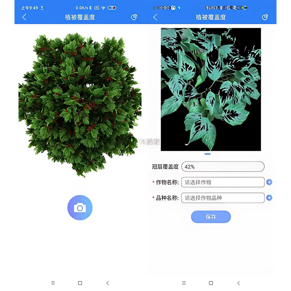
The Top Cloud-agri TPFG-1H Plant Canopy Cover Analyzer is a field-deployable, non-destructive optical instrument engineered for quantitative assessment of vegetation ground cover percentage — a critical biophysical parameter in plant phenotyping, agroecological monitoring, and crop growth modeling. It operates on the principle of digital image analysis based on high-contrast RGB imaging under standardized illumination conditions. The device captures downward-facing hemispherical or nadir-aligned canopy images, then applies pixel-level classification algorithms to distinguish green vegetation pixels from soil, litter, or non-photosynthetic background. This enables direct calculation of fractional canopy cover (FCC), defined as the ratio of green pixel count to total valid pixels within the region of interest (ROI). Unlike manual quadrat sampling or subjective visual estimation, the TPFG-1H delivers repeatable, operator-independent measurements with sub-meter spatial resolution and documented inter-scan reproducibility ≤ ±3.2% (CV) under controlled field lighting.
Key Features
- Integrated high-resolution RGB imaging module with automatic white balance and exposure compensation for consistent image acquisition across varying ambient light conditions (e.g., morning vs. midday sun)
- On-device image processing engine supporting real-time FCC computation without reliance on external computers or cloud connectivity
- Calibration-ready optical geometry: fixed field-of-view lens (120° horizontal FOV) optimized for uniform coverage of 0.5–2.0 m² ground area at 1.0 m sensor height
- Ruggedized aluminum-magnesium alloy housing rated IP54 for dust and splash resistance, enabling reliable operation in humid, dusty, or rain-dampened field environments
- Internal rechargeable Li-ion battery providing ≥8 hours of continuous operation per charge; USB-C powered charging and data export interface
- Support for batch measurement mode with timestamped geotagging (via optional Bluetooth GNSS receiver integration)
Sample Compatibility & Compliance
The TPFG-1H is validated for use across diverse vegetation types including row-cropped cereals (wheat, maize, rice), orchard systems (apple, citrus), vineyards, grassland swards, and young forest stands up to 3 m canopy height. It accommodates variable canopy architectures — from sparse seedling stands to dense, overlapping canopies — through adaptive thresholding and morphological filtering routines embedded in its firmware. The instrument conforms to ISO 11727:2021 (Field measurement of vegetation cover using digital photography) for methodology traceability. Data output formats (CSV, GeoTIFF metadata tags) support interoperability with GIS platforms and comply with FAO’s CropWatch metadata standards. While not certified for regulatory submission under GLP or FDA 21 CFR Part 11, raw image archives and processed results include full audit trails (operator ID, GPS coordinates, timestamp, exposure settings) suitable for internal QA/QC documentation.
Software & Data Management
The TPFG-1H includes embedded firmware v2.1+ with local storage (16 GB eMMC) capable of retaining >5,000 annotated canopy images and corresponding FCC reports. A companion Windows/macOS desktop application (TPFG Studio v3.0) enables advanced post-processing: ROI masking, multi-temporal change visualization, statistical summary generation (mean FCC, SD, coefficient of variation), and export to common scientific formats (CSV, Excel, PNG with embedded EXIF). All exported datasets include machine-readable provenance metadata compliant with Darwin Core standards. For institutional deployments, the software supports role-based user accounts and encrypted local database backups — meeting baseline requirements for FAIR (Findable, Accessible, Interoperable, Reusable) data management in academic and breeding program contexts.
Applications
- Dynamic monitoring of crop emergence and early-season ground cover to inform nitrogen top-dressing timing and irrigation scheduling
- Quantitative evaluation of drought tolerance traits in breeding nurseries via longitudinal FCC trajectories under water-stress treatments
- Validation of satellite-derived NDVI and LAI products at plot scale (0.1–1 ha) for upscaling calibration
- Assessment of intercropping system efficiency by partitioning fractional cover between component species using color-space segmentation
- Post-disturbance ecological recovery tracking in restoration ecology projects, including invasive species encroachment mapping
- Integration into automated phenotyping pipelines when mounted on UAV gimbals or ground-based robotic platforms (SDK available upon OEM agreement)
FAQ
Does the TPFG-1H require external lighting or flash units for consistent measurements?
No — it uses adaptive exposure control and built-in diffuser optics to normalize illumination variability; however, measurements taken under direct overhead sun (solar zenith angle < 30°) are recommended to minimize cast shadows.
Can the device distinguish between live green biomass and senesced or yellowed leaves?
Yes — its classification algorithm incorporates chromaticity-based thresholds in CIELab color space to differentiate photosynthetically active tissue from chlorophyll-degraded foliage, though accuracy decreases below 15% green pigment content.
Is raw image data accessible for custom algorithm development?
Yes — all captured TIFF images (12-bit depth, uncompressed) are stored in unprocessed format and exportable via USB-C; SDK documentation for third-party plugin integration is available under NDA.
What is the minimum detectable patch size for fragmented canopies?
At 1.0 m height, the effective ground sampling distance (GSD) is ~1.2 mm/pixel, enabling reliable detection of contiguous green patches ≥ 5 × 5 pixels (6 mm²) under optimal focus and lighting.
Does the instrument support multi-angle imaging for clumping correction?
Not natively — the TPFG-1H employs a single nadir view. For LAI derivation requiring gap fraction modeling, users must pair measurements with independent estimates of canopy element inclination distribution (e.g., via fisheye lens or terrestrial LiDAR).
Related Products


