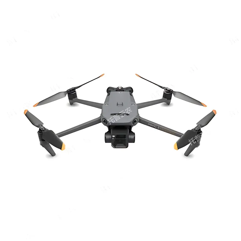
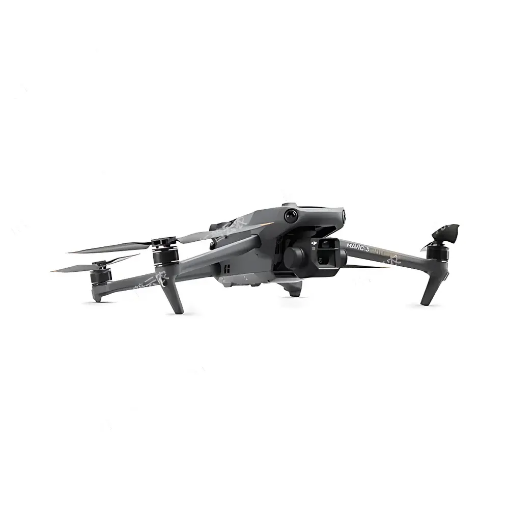
Top Cloud-agri TP-KJG-YM Corn Phenotyping Growth Monitoring System
| Brand | Top Cloud-agri |
|---|---|
| Origin | Zhejiang, China |
| Manufacturer Type | OEM/ODM Manufacturer |
| Country of Origin | China |
| Model | TP-KJG-YM |
| Pricing | Upon Request |
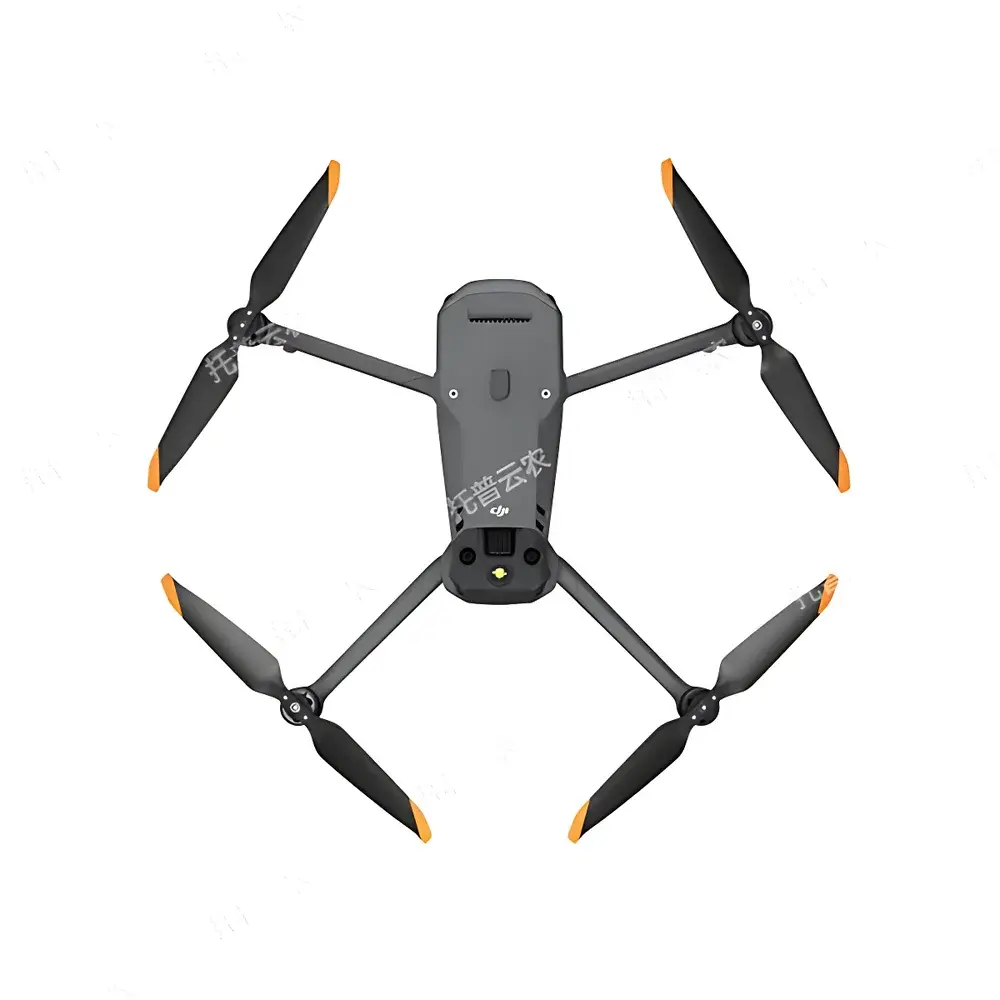
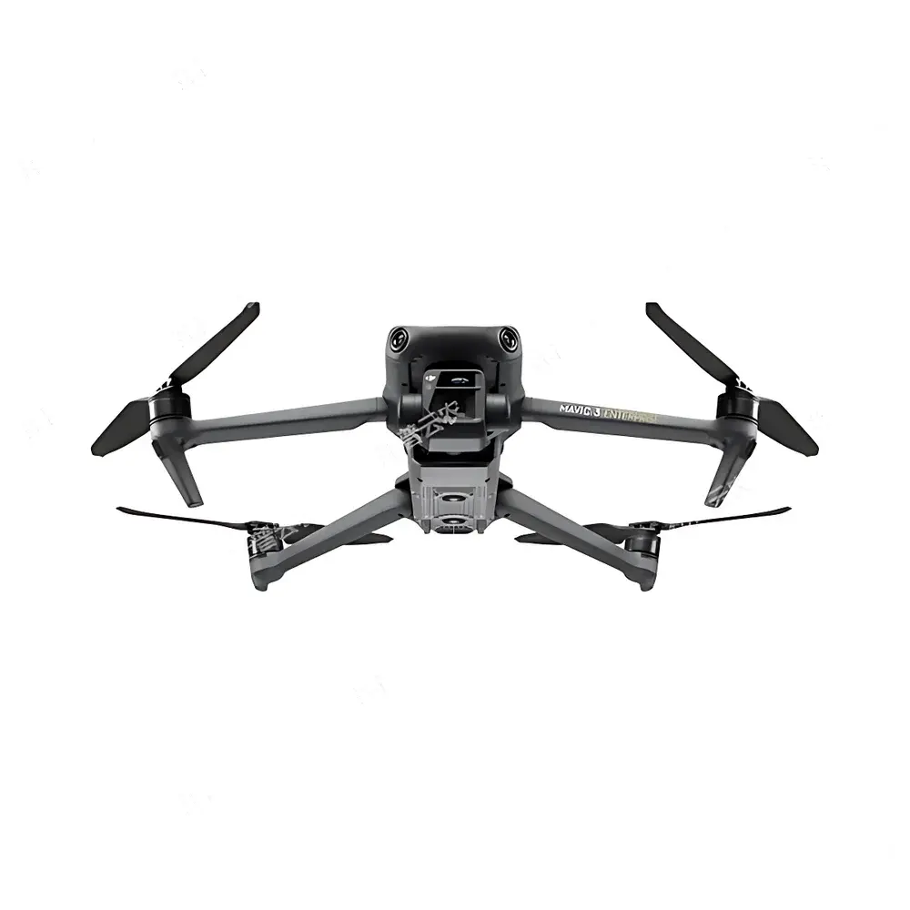
| Aircraft Folded Dimensions (w/o propellers) | 221 × 96.3 × 90.3 mm |
| Max Horizontal Speed (calm air) | 15 m/s |
| Max Wind Resistance | 12 m/s |
| Wide-angle Camera Sensor | 4/3" CMOS, 20 MP effective resolution |
| Telephoto Camera Sensor | 1/2" CMOS, 12 MP effective resolution |
| Image Formats | JPEG / DNG (RAW) |
| Max Flight Time (calm air) | 45 min |
| Max Operational Range | 32 km |
| Vertical Positioning Accuracy | ±0.1 m (RTK active), ±0.5 m (GNSS only), ±0.1 m (visual positioning enabled) |
| Horizontal Positioning Accuracy | ±0.1 m (RTK), ±0.5 m (GNSS), ±0.3 m (visual positioning) |
| RTK Module Support | Yes |
| Integrated Drone-in-a-Box Compatibility | Yes |
| Real-time Video Transmission | 1080p/30fps to remote controller |
| Operating Temperature Range | −10 °C to +40 °C |
Overview
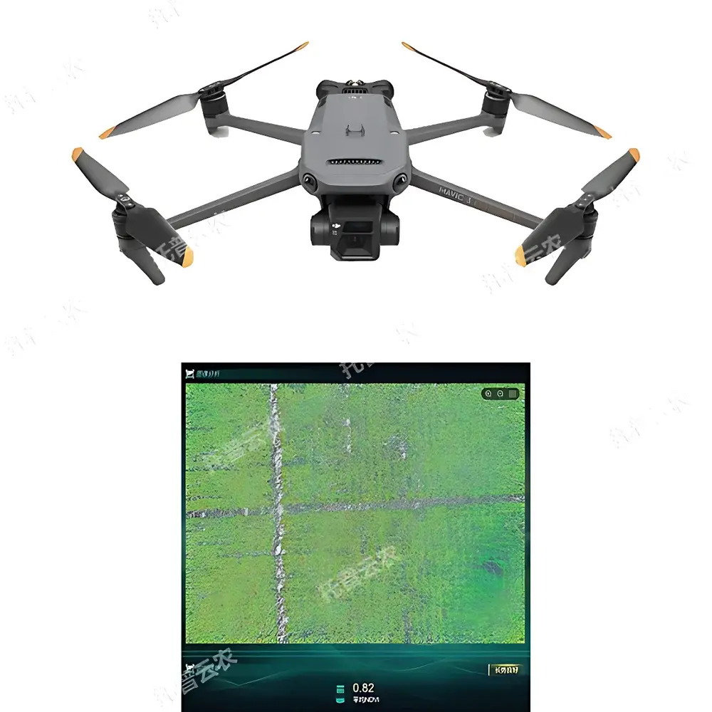
The Top Cloud-agri TP-KJG-YM Corn Phenotyping Growth Monitoring System is a field-deployable, UAV-based phenotyping platform engineered for high-throughput, non-destructive assessment of maize morphological and developmental traits under real-world agronomic conditions. Built upon a dual-sensor aerial imaging architecture—comprising a wide-angle 20-megapixel 4/3″ CMOS camera and a 12-megapixel telephoto sensor—the system acquires georeferenced multispectral-capable visible-light imagery optimized for pixel-level phenotypic trait extraction. Its core measurement principle relies on computer vision–driven spatiotemporal analysis of plant structure and canopy dynamics, including tassel detection, plant height estimation via digital surface model (DSM) generation, fractional vegetation cover (FVC) quantification, lodging classification, and yield proxy modeling. Designed specifically for hybrid seed production and breeding programs, the platform enables automated male inflorescence (tassel) localization to support precision detasseling operations—reducing labor dependency while maintaining genetic purity and cross-pollination control in maize seed multiplication fields.
Key Features
- Tassel-Specific Detection Algorithm: Proprietary deep learning model trained on multi-season, multi-environment maize tassel imagery; achieves sub-centimeter spatial localization accuracy when integrated with RTK-GNSS positioning.
- Fully Autonomous Mission Execution: Predefined flight path planning with adaptive altitude adjustment based on terrain elevation data; supports waypoint-based photogrammetric capture with overlap optimization (80% forward / 70% side overlap).
- Integrated Geospatial Data Management: GIS-enabled web dashboard with WGS84-aligned base maps; supports polygon-based field delineation, parent-row masking, and automatic area calculation using orthorectified mosaic outputs.
- Environmental Sensor Fusion: Native integration with third-party agro-meteorological stations and soil moisture sensors; time-synchronized environmental metadata automatically tagged to corresponding image batches.
- Phenotype-to-Action Workflow Engine: Closed-loop agronomic operation logging—including detasseling execution timestamps, operator IDs, and input material tracking—linked to phenotypic stage models calibrated against BBCH-scale maize growth benchmarks.
- Self-Improving Recognition Framework: Human-in-the-loop correction interface allows manual annotation of misclassified tassels; updated labels trigger incremental retraining of the inference model without full dataset reprocessing.
- Multiformat Export & Interoperability: Batch export of analysis results in Excel (.xlsx), vectorized GIS layers (.shp), publication-ready charts (PNG/SVG), and regulatory-compliant PDF reports with embedded metadata and audit trails.
Sample Compatibility & Compliance
The TP-KJG-YM system is validated for use across diverse maize genotypes—including dent, flint, sweet, and popcorn varieties—under both irrigated and rainfed field conditions. It accommodates planting densities ranging from 40,000 to 90,000 plants per hectare and supports phenotyping from V4 through R6 growth stages. All onboard data acquisition and processing workflows comply with ISO 11783-10 (Tractor Data Communication) metadata standards and adhere to FAO-recommended protocols for crop phenotyping data curation. The software architecture supports audit-ready data provenance tracking in accordance with GLP principles, and optional 21 CFR Part 11 compliance modules are available for regulated breeding trials requiring electronic signature and change control functionality.
Software & Data Management
The system operates via a secure, role-based SaaS platform hosted on ISO 27001-certified infrastructure. Raw imagery undergoes automated radiometric calibration, geometric correction (using onboard IMU, GNSS, and RTK data), and orthomosaic stitching prior to AI-driven trait extraction. All analytical pipelines—including canopy height model (CHM) derivation, tassel centroid mapping, and coverage index computation—are containerized using Docker for reproducibility and version-controlled via GitLab CI/CD. Data retention policies align with GDPR and CCPA requirements; encrypted at-rest storage and TLS 1.3 transport encryption ensure end-to-end security. API endpoints enable integration with LIMS, breeding management systems (BMS), and enterprise resource planning (ERP) platforms via RESTful JSON payloads conforming to MIAPPE v1.1 metadata schema.
Applications
- Hybrid seed production: Real-time tassel detection and geo-tagged detasseling guidance for parental line isolation.
- Quantitative trait locus (QTL) mapping studies: High-resolution temporal phenotypic datasets synchronized with genotypic information.
- Climate-resilience screening: Longitudinal monitoring of lodging incidence, drought-induced canopy closure delay, and thermal stress indicators.
- Agronomy extension services: Digital advisory tools delivering stage-specific irrigation, nitrogen top-dressing, or pest scouting recommendations.
- National agricultural research systems: Standardized phenotyping protocols for multi-location variety trials coordinated under national crop improvement programs.
FAQ
Does the system require internet connectivity during flight?
No—mission planning, autonomous navigation, and onboard image capture operate offline. Internet access is required only for initial map download, firmware updates, and cloud-based analytics upload.
Can the platform process historical drone imagery collected with other UAVs?
Yes—orthomosaics and geotagged JPEG/DNG files acquired with compatible GNSS-equipped drones can be imported and analyzed using the same trait extraction pipelines.
Is RTK module included or optional?
The RTK module is factory-integrated and standard on all TP-KJG-YM units; no add-on purchase is required for centimeter-level positioning.
What level of technical support is provided for algorithm customization?
Top Cloud-agri offers tiered support contracts including remote model fine-tuning services, where customers may supply annotated field data for domain-specific adaptation of tassel detection or other trait classifiers.
How is data ownership governed under the service agreement?
All raw and processed data remain the exclusive property of the customer; Top Cloud-agri retains no rights to use customer-derived phenotypic datasets for commercial or training purposes without explicit written consent.