Top Cloud-agri TPTJ-4 Portable Pest and Disease Survey Recorder
| Brand | Top Cloud-agri |
|---|---|
| Origin | Zhejiang, China |
| Manufacturer Type | Direct Manufacturer |
| Country of Origin | China |
| Model | TPTJ-4 |
| Pricing | Available Upon Request |
Overview
The Top Cloud-agri TPTJ-4 Portable Pest and Disease Survey Recorder is a field-deployable digital data acquisition system engineered for standardized, georeferenced documentation of plant pest and disease incidence in agricultural monitoring programs. Unlike general-purpose tablets or mobile apps, the TPTJ-4 integrates hardware-level GPS positioning, high-fidelity image capture with embedded geotagging, and domain-specific data schema—designed explicitly for compliance with national crop protection survey protocols in China (e.g., NY/T 1705–2009, “Technical Specifications for Field Survey of Major Crop Pests and Diseases”). Its measurement principle is not based on optical identification or automated classification; rather, it functions as a structured electronic field notebook—capturing observer-entered taxonomic identifiers, symptom descriptors, spatial coordinates, temporal metadata, and visual evidence in a traceable, audit-ready format. This architecture ensures data integrity across multi-season longitudinal studies, regional surveillance networks, and provincial-level pest forecasting systems.
Key Features
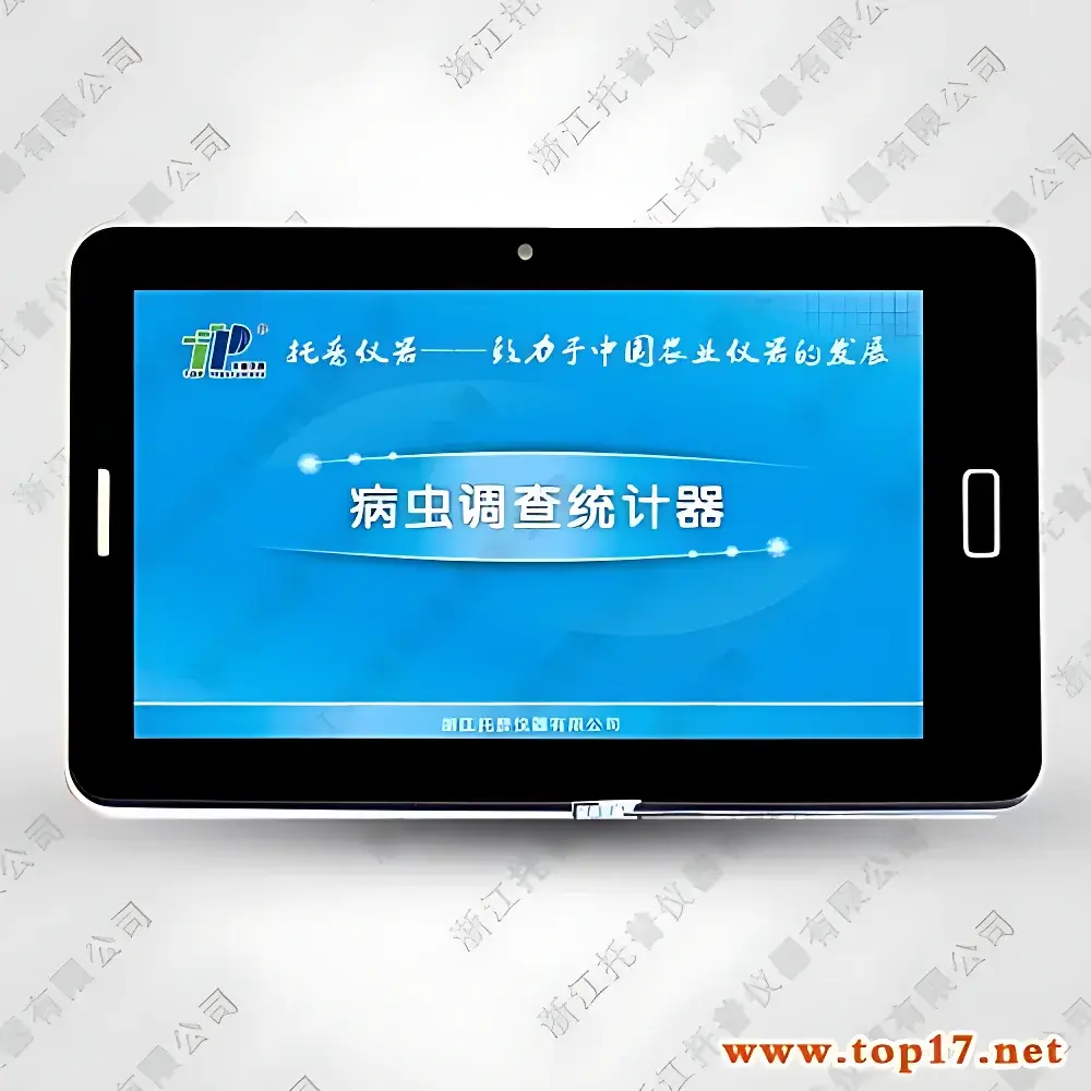
- 7-inch full-color TFT LCD touchscreen display (16 million colors) with multi-input method support—including pinyin, handwriting, and numeric entry—for efficient field data annotation under variable lighting and environmental conditions.
- Integrated high-sensitivity GPS module compliant with BeiDou + GPS dual-system positioning, delivering sub-5-meter horizontal accuracy (CEP) under open-sky conditions—enabling precise georeferencing of each observation point.
- Dedicated field data schema pre-configured for major crops: maize, wheat, peanut, cotton, tea, rice, vegetables, and custom categories—supporting hierarchical pest/disease classification (e.g., species-level insect ID, severity grading for fungal lesions, vector association tagging).
- Built-in 8-megapixel autofocus camera with automatic EXIF embedding of latitude/longitude, altitude, timestamp, and device orientation—images stored in JPEG format with geotagged metadata readable by GIS-compatible software (e.g., QGIS, ArcGIS Pro).
- Expandable local storage via microSD card (up to 128 GB), supporting >100,000 discrete survey records with full metadata retention—no cloud dependency required for offline operation in remote rural zones.
- Field-optimized power management: rechargeable lithium-ion battery rated for ≥10 hours of continuous operation (screen-on time) at 25°C—compatible with standard 5V/2A USB-C charging in vehicle-mounted or solar-charged setups.
- On-device navigation capability powered by embedded nationwide vector map database (updated annually per China National Standard GB/T 35648–2017), featuring voice-guided routing to previously recorded outbreak sites.
Sample Compatibility & Compliance
The TPTJ-4 does not perform analytical measurements on biological samples; instead, it records observer-verified observations consistent with nationally endorsed survey methodologies. Data fields align with the Ministry of Agriculture and Rural Affairs (MARA) Standardized Pest Reporting Framework, enabling direct import into the National Agricultural Pest Monitoring and Early Warning System (NAPMEWS). All stored records include mandatory audit trail elements: operator ID, GPS-derived location confidence indicator, timestamp (UTC+8 synchronized), and modification history (if edited post-capture). The device meets electromagnetic compatibility requirements per GB/T 17626 series and environmental operating specifications for IP54-rated dust/moisture resistance—validated for use across temperate, subtropical, and monsoonal agroecological zones.
Software & Data Management
Data synchronization occurs via USB 2.0 interface to Windows-based desktop software (TPTJ-Suite v3.x), which auto-generates structured Excel (.xlsx) workbooks compliant with MARA Form No. 01–04 (Pest Incidence Reporting Template). The suite supports batch validation checks (e.g., missing GPS coordinates, inconsistent severity scales), export to CSV for integration with R or Python-based epidemiological modeling pipelines, and encrypted backup to network drives. Audit log functionality complies with GLP-aligned data integrity principles: all edits are timestamped and attributed, and original image files retain unaltered EXIF headers. Software updates are distributed via signed firmware packages with SHA-256 checksum verification—ensuring version control across multi-unit deployments.
Applications
- Provincial and county-level phytosanitary surveillance teams conducting routine field scouting for migratory pests (e.g., Spodoptera frugiperda, Nilaparvata lugens) and quarantine diseases (e.g., Xanthomonas oryzae pv. oryzae).
- Extension service personnel documenting pesticide resistance monitoring plots—recording treatment history, symptom progression, and spatial clustering patterns.
- Academic researchers implementing stratified random sampling designs across heterogeneous farmland mosaics, requiring reproducible georeferenced metadata for spatial autocorrelation analysis.
- Seed certification agencies verifying field health status prior to harvest—generating MARA-compliant reports for seed lot release documentation.
FAQ
Does the TPTJ-4 automatically identify pests or diseases using AI or image recognition?
No. It is a manual-entry field recorder; species identification and symptom assessment remain the responsibility of trained agronomists or entomologists. Image capture serves solely for visual verification and archival traceability.
Can survey data be exported in formats compatible with international databases (e.g., GBIF, EPPO QRIS)?
Yes—CSV exports include Darwin Core–aligned fields (institutionCode, basisOfRecord, eventDate, decimalLatitude, decimalLongitude, identifiedBy, occurrenceRemarks), enabling cross-platform interoperability.
Is the device certified for use in GMP or ISO 17025-accredited laboratories?
While not a laboratory instrument per se, its data capture workflow satisfies ISO/IEC 17025:2017 Clause 7.5.2 (control of records) and supports traceability requirements for field data used in regulatory submissions.
What is the warranty and calibration policy?
Top Cloud-agri provides a 24-month limited warranty covering manufacturing defects. GPS and camera modules undergo factory verification against NIST-traceable reference standards; no user-performed calibration is required.