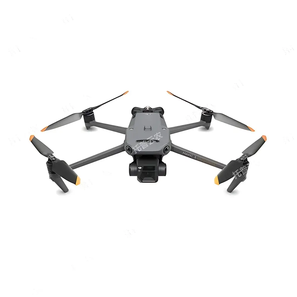
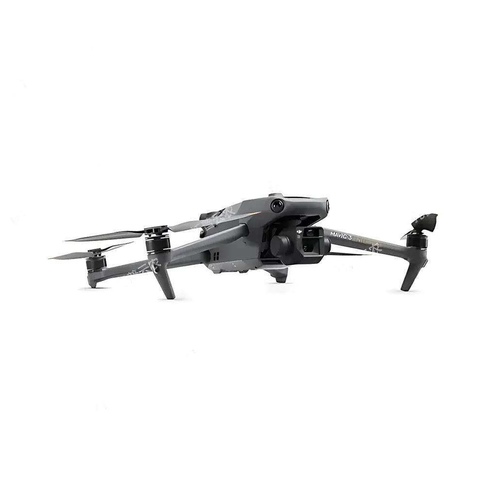
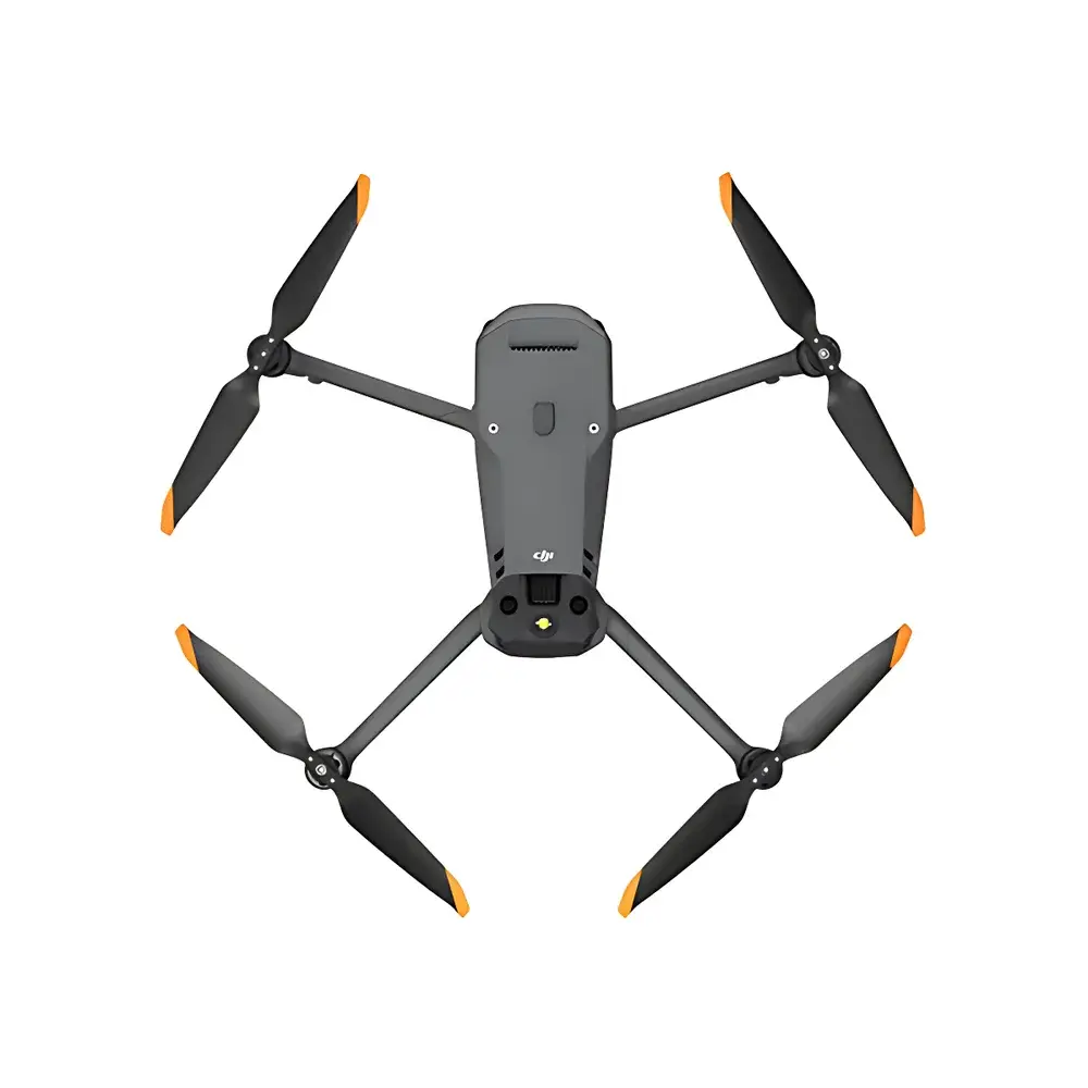
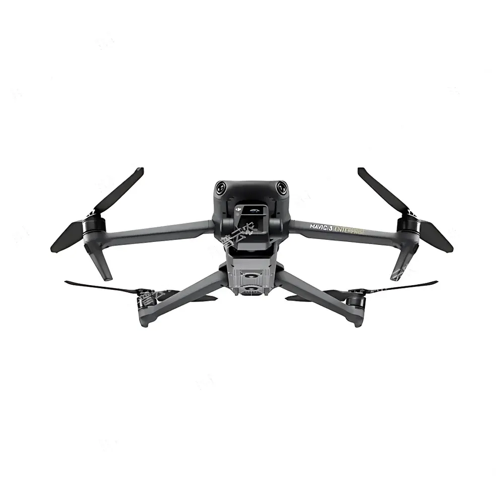
Top Cloud-agri TP-DGP-DM Intelligent Multispectral Crop Monitoring System for Rice and Wheat Full-Growth-Cycle UAV-Based Inspection
| Brand | Top Cloud-agri |
|---|---|
| Origin | Zhejiang, China |
| Manufacturer Type | OEM/ODM Producer |
| Country of Origin | China |
| Model | TP-DGP-DM |
| Pricing | Upon Request |
| Max Flight Time | >40 min |
| Max Horizontal Speed | 21 m/s |
| Max Wind Resistance | 12 m/s |
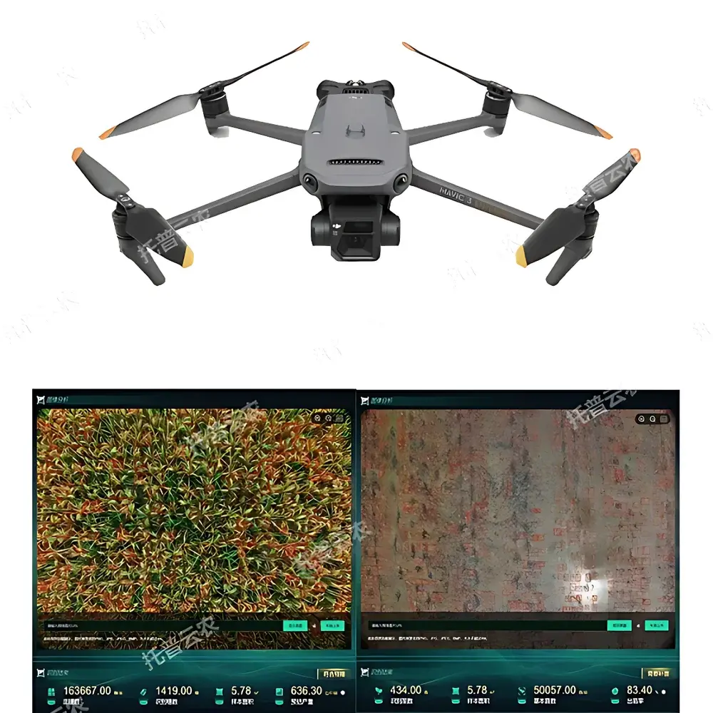
| Visible Light Camera | 20 MP, 4/3" CMOS, 24 mm equiv. f/2.8 lens, 84° FOV, JPEG/DNG output |
| Multispectral Sensor | 5 MP, 1/2.8" CMOS, 25 mm equiv. lens, 73.91° diagonal FOV, spectral bands: G (560±16 nm), R (650±16 nm), RE (730±16 nm), NIR (860±26 nm), TIFF output, gain 1x–32x |
| RTK Positioning Accuracy | 1 cm + 1 ppm (horizontal), 1.5 cm + 1 ppm (vertical) |
| Operating Temperature | −10°C to 40°C |
| Real-time Video Transmission | 1080p/30fps |
Overview
The Top Cloud-agri TP-DGP-DM Intelligent Multispectral Crop Monitoring System is a purpose-engineered UAV-based remote sensing platform designed for high-resolution, time-series phenotypic monitoring of rice and wheat across their entire growth cycle—from emergence and tillering through heading, grain filling, and maturity. Built upon the physical principles of passive optical reflectance spectroscopy, the system captures radiometrically calibrated multispectral imagery in five discrete wavebands (green, red, red edge, and near-infrared), enabling quantitative derivation of biophysically meaningful vegetation indices—including NDVI, NDRE, GNDVI, and CIrededge—without requiring ground-truth calibration at each flight. The integrated RTK GNSS module ensures centimeter-level georeferencing fidelity, critical for longitudinal change detection and pixel-level time-series analysis. Unlike generic drone imaging solutions, the TP-DGP-DM is engineered for agricultural operational robustness: its flight control architecture supports autonomous mission execution under variable wind conditions (up to 12 m/s), while its thermal management system maintains sensor stability across ambient temperatures from −10°C to 40°C—enabling reliable data acquisition in early-spring sowing and late-summer harvest windows typical of temperate cereal systems.
Key Features
- Full-growth-cycle phenotyping algorithms: Automated detection and quantification of emergence rate, canopy cover fraction, plant height (via DSM generation), lodging severity, panicle count, growth stage classification (BBCH scale-aligned), and yield proxy estimation using multi-temporal spectral trajectories.
- Dual-sensor synchronized acquisition: Simultaneous capture of 20-megapixel RGB imagery and co-registered 5-band multispectral data with <1-pixel spatial misregistration, ensuring pixel-wise spectral–textural correlation for machine learning training.
- Autonomous mission orchestration: Predefined flight path planning with adaptive altitude adjustment based on terrain elevation models; automatic image triggering at fixed ground sampling distance (GSD) intervals; fail-safe return-to-home and battery-aware route optimization.
- Centimeter-accurate geospatial foundation: Dual-frequency RTK positioning delivers horizontal accuracy of 1 cm + 1 ppm and vertical accuracy of 1.5 cm + 1 ppm—meeting ISO 11783-10 requirements for precision agriculture equipment validation.
- Edge-enabled onboard processing: On-drone radiometric correction, vignetting compensation, and dark-frame subtraction reduce post-processing latency and improve signal-to-noise ratio in low-light early-morning or late-afternoon flights.
- Scalable fleet management interface: Supports concurrent operation of multiple TP-DGP-DM units across distributed trial sites, with centralized synchronization of flight logs, metadata, and raw image archives.
Sample Compatibility & Compliance
The TP-DGP-DM system is validated for use over paddy fields, dry-seeded wheat plots, and mixed-crop agroecosystems with canopy heights ranging from 5 cm (early tillering) to 120 cm (late heading). Its spectral response function conforms to ASTM E2597–21 standards for multispectral sensor characterization. All data workflows—including raw image ingestion, index computation, and report generation—support audit-ready traceability per GLP-compliant research protocols. The platform’s metadata schema complies with ISA-Tab v1.1 conventions, facilitating integration into FAIR-aligned data repositories such as AgData Commons and ELIXIR Agri. While not FDA-regulated, the system’s data integrity controls—including immutable timestamping, user-role-based access logs, and cryptographic hash verification of exported datasets—align with 21 CFR Part 11 principles for electronic records in regulated agronomic trials.
Software & Data Management
The proprietary TopCloud Field Intelligence Platform provides a browser-based GIS environment supporting WGS84 and local UTM projections. It ingests orthomosaic outputs, digital surface models (DSMs), and classified raster layers generated via photogrammetric processing (using Agisoft Metashape Engine API). Users define field boundaries interactively or import SHP/KML files; the system auto-calculates area, slope, and aspect. IoT device integration follows MQTT 3.1.1 protocol: soil moisture sensors (EC-5, Decagon), microclimate stations (HMP155, Vaisala), and canopy temperature loggers feed time-synchronized environmental context directly into phenotypic analytics dashboards. All reports—whether temporal trend charts (line graphs), spatial heatmaps (chlorophyll distribution), or statistical summaries (ANOVA-ready CSV)—are exportable in ISO-standard formats: PDF/A-1b for archival, Excel .xlsx with embedded formulas, and PNG/SVG for publication-grade figures. Version-controlled model updates ensure backward compatibility with legacy flight datasets.
Applications
- Public and private breeding programs: High-throughput selection of drought-tolerant wheat lines using NDRE dynamics during anthesis, or nitrogen-use-efficiency screening in rice via temporal GNDVI slopes.
- University extension services: Teaching modules on spectral vegetation index theory, UAV-based crop scouting, and spatial statistics using real-world student-collected datasets.
- Commercial farming cooperatives: Operational decision support for irrigation scheduling (based on crop water stress index thresholds), variable-rate nitrogen application (using map-based chlorophyll estimates), and pre-harvest loss assessment (lodging + disease incidence overlays).
- National agricultural monitoring initiatives: Integration into national crop acreage and condition assessment frameworks (e.g., USDA Cropland Data Layer compatibility via GDAL-conformant GeoTIFF exports).
- Climate resilience research: Multi-year time-series analysis of phenological shift rates (e.g., days to heading advance under warming scenarios) using harmonized spectral metrics across cultivars and locations.
FAQ
Does the TP-DGP-DM support third-party spectral sensors beyond the factory-installed multispectral camera?
Yes—via MavLink-compatible payload SDK, users may integrate calibrated hyperspectral imagers (e.g., Headwall Nano-Hyperspec) or thermal cameras (FLIR Vue Pro R), provided mechanical and power interfaces comply with DJI Payload SDK v4.0 specifications.
How is radiometric calibration maintained across seasonal temperature fluctuations?
The system performs automated dark-frame acquisition before each flight; combined with onboard temperature-stabilized sensor housing and factory-derived EMCCD gain curves, it achieves ±3% radiometric repeatability over the full operating temperature range.
Can raw multispectral TIFFs be processed offline using ENVI or Python-based tools like scikit-image?
Absolutely—all band-aligned TIFFs include embedded GDAL-compatible geotags and wavelength metadata in EXIF XMP tags, enabling direct ingestion into open-source radiometric processing pipelines without proprietary software dependency.
Is the Field Intelligence Platform deployable on-premises for data sovereignty compliance?
Yes—the platform supports Docker containerized deployment on Red Hat Enterprise Linux 8.x or Ubuntu 22.04 LTS, with optional FIPS 140-2 validated encryption modules for government or institutional deployments.
What level of technical support is included with hardware purchase?
Top Cloud-agri provides 24-month hardware warranty, lifetime access to firmware and algorithm updates, and dedicated agronomic application engineering support—including on-site mission planning workshops and custom index development for novel trait discovery.
Related Products


