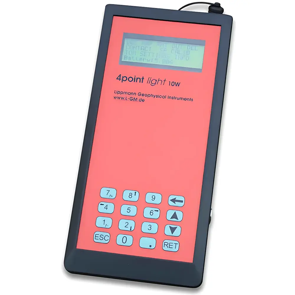
LGM 4POINT Georesistivity & Spectral Induced Polarization (SIP) System
| Origin | Germany |
|---|---|
| Manufacturer Type | Authorized Distributor |
| Origin Category | Imported |
| Model | LGM 4POINT |
| Pricing | Upon Request |
Overview
The LGM 4POINT is a high-precision, multi-frequency georesistivity and spectral induced polarization (SIP) measurement system engineered for quantitative subsurface characterization down to 1000 m depth. It operates on the principle of controlled-source direct current (DC) and low-frequency alternating current (AC) resistivity, combined with phase-sensitive voltage/current measurement to resolve both ohmic (resistive) and capacitive (polarization) responses of geological media. By precisely quantifying the phase shift (Δφ) between injected current and measured potential—across a tunable frequency range from 0.2 Hz to 30 Hz—the system enables robust separation of bulk resistivity (ρ) and chargeability (m), supporting spectral IP analysis essential for distinguishing clay content, mineral alteration, pore-fluid chemistry, and redox-active mineralization. Its design adheres to geophysical best practices for field-deployable DC/IP surveys, with hardware-level isolation, calibrated reference impedance, and traceable amplitude/phase metrology aligned with ISO/IEC 17025–compliant calibration protocols.
Key Features
- Multi-frequency phase-resolved resistivity and SIP acquisition (0.2–30 Hz) with <0.1% amplitude accuracy and ~0.1 mrad phase resolution
- Simultaneous in-phase (real) and quadrature (imaginary) component recording, with real-time statistical error estimation per measurement cycle
- Integrated time-domain transient resistivity mode for rapid sounding and monitoring applications
- Automated electrode array configuration support—including Wenner, Schlumberger, dipole-dipole, and gradient arrays—with up to 255 active electrodes
- Self-contained tomographic inversion mode with adaptive meshing and regularization control for 2D/3D resistivity and chargeability imaging
- Internal precision reference resistor (±0.01% tolerance) enabling full-system amplitude and phase calibration without external standards
- Galvanically isolated analog front-end and optical data interface, ensuring noise immunity in electrically noisy environments
- Low-power operation (350 mA total; 2 mW per electrode channel) optimized for long-term unattended monitoring deployments
Sample Compatibility & Compliance
The LGM 4POINT is designed for in-situ geophysical measurements across diverse terrestrial settings: unsaturated and saturated soils, weathered bedrock, alluvial aquifers, landfill leachate plumes, archaeological stratigraphy, and mining exploration targets. It complies with ASTM G57 (Standard Test Method for Field Measurement of Soil Resistivity Using the Wenner Four-Electrode Method) and supports data formats compatible with industry-standard inversion software (e.g., RES2DINV, BERT, PyGIMLi). All firmware and calibration procedures are documented per GLP principles; audit trails for calibration events, parameter changes, and raw phase/amplitude metadata are retained onboard. The system meets IEC 61000-6-2 (immunity) and IEC 61000-6-4 (emission) for electromagnetic compatibility in field instrumentation.
Software & Data Management
The system ships with proprietary acquisition and processing software supporting real-time QC visualization (co-plotting of ρ, φ, and standard deviation), automated electrode switching logic, and batch-mode spectral IP analysis. Raw time-series data are stored in open binary format with embedded metadata (timestamp, electrode geometry, current injection parameters, temperature, and internal reference status). Export options include SEG-Y, XYZ, and CSV for interoperability with GIS and inversion platforms. Software implements secure user access levels, electronic signature logging, and 21 CFR Part 11–compatible audit trail functionality for regulated environmental or mining compliance reporting.
Applications
- High-resolution hydrogeological mapping of aquifer geometry, salinity intrusion, and preferential flow paths
- Environmental site assessment: detection of buried conductive contaminants (e.g., heavy metals, hydrocarbons, leachate)
- Archaeological prospection: non-invasive identification of buried walls, ditches, and anthropogenic fill layers
- Mining exploration: discrimination of sulfide-bearing zones via frequency-dependent chargeability signatures
- Geotechnical engineering: evaluation of soil compaction, moisture variation, and clay content distribution
- Long-term geophysical monitoring: seasonal resistivity/IP time-lapse studies for vadose zone dynamics or CO₂ sequestration verification
FAQ
What is the maximum achievable investigation depth with the LGM 4POINT?
Depth penetration depends on electrode spacing, ground resistivity, and signal-to-noise ratio—but with optimized 20-electrode arrays (5 m spacing) and 100 mA current injection, reliable resolution extends to ~800–1000 m in typical sedimentary settings.
Does the system support true 3D tomographic acquisition?
Yes—via programmable multi-electrode switching and configurable electrode layouts, the system acquires full 3D apparent resistivity and phase datasets compatible with 3D finite-element inversion frameworks.
How is phase calibration performed in the field?
Calibration uses the integrated ultra-stable reference resistor; users execute a 2-minute automated routine that records system response across all operating frequencies, updating internal gain and phase offset coefficients with traceable uncertainty values.
Can the LGM 4POINT operate in autonomous monitoring mode?
Yes—programmable measurement intervals (from minutes to days), onboard storage (≥32 GB), and low-power sleep states enable unattended operation for months when paired with solar charging and telemetry modules.
Is spectral IP data export compatible with open-source inversion tools?
Yes—complex resistivity spectra (ρ′ and ρ″ vs. frequency) are exported in ASCII tabular format with header metadata, directly ingestible by PyGIMLi, ERTLab, and other Python- or MATLAB-based SIP modeling environments.


