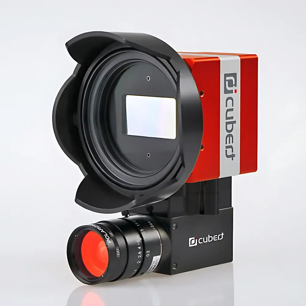
Cubert X20P Hyperspectral Imaging Camera
| Brand | Cubert |
|---|---|
| Origin | Germany |
| Model | X20P |
| Spectral Range | 350–1000 nm |
| Imaging Modality | Snapshot (Focal Plane Array) |
| Spatial Resolution | 1886 × 1886 pixels |
| Spectral Channels | 325 simultaneous bands |
| Frame Rate | up to 5 Hz |
| Interface | Dual GigE Vision |
| Mounting | Integrated brushless gimbal with onboard control and SSD storage |
| Platform Compatibility | UAV (multirotor & fixed-wing), ground-based tripod or vehicle mount |
| Sensor Type | 20 MP CMOS monolithic focal plane array |
Overview
The Cubert X20P is a snapshot-based hyperspectral imaging (HSI) camera engineered for high-fidelity spectral-spatial data acquisition in dynamic operational environments. Unlike push-broom or scanning systems, the X20P employs a monolithic 20-megapixel CMOS sensor combined with advanced light-field optics to capture full hyperspectral cubes—325 contiguous spectral bands across the visible to near-infrared (VNIR) range (350–1000 nm)—in a single exposure. This snapshot architecture eliminates motion-induced artifacts, enabling robust data collection from moving platforms including multirotor and fixed-wing unmanned aerial vehicles (UAVs), as well as ground-based mobile or static mounts. The system operates on the principle of spectral multiplexing via integrated micro-optical filters, delivering instantaneous, spatially registered spectral data without mechanical scanning or temporal interpolation. Its design prioritizes radiometric stability, low read noise, and high quantum efficiency across the entire spectral band—critical for quantitative reflectance analysis and time-sensitive field deployments.
Key Features
- Snapshot acquisition of 325 spectrally resolved bands per frame—no scanning, no smear, no registration error
- Native spatial resolution of 1886 × 1886 pixels per hyperspectral cube, preserving fine-scale structural detail
- Dual GigE Vision interface supporting sustained 5 Hz frame rate at full resolution, compatible with standard industrial vision infrastructure
- Integrated brushless 3-axis gimbal with real-time inertial stabilization, enabling precise pointing and jitter suppression during flight
- Onboard control unit and solid-state storage (user-replaceable SSD) for autonomous operation—no external computer required during acquisition
- Calibration-ready architecture: factory-calibrated radiometric response, spectral channel alignment, and geometric correction coefficients embedded in metadata
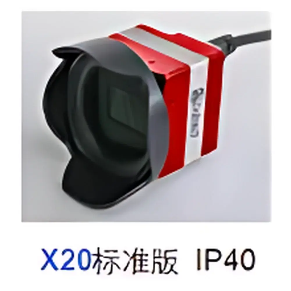
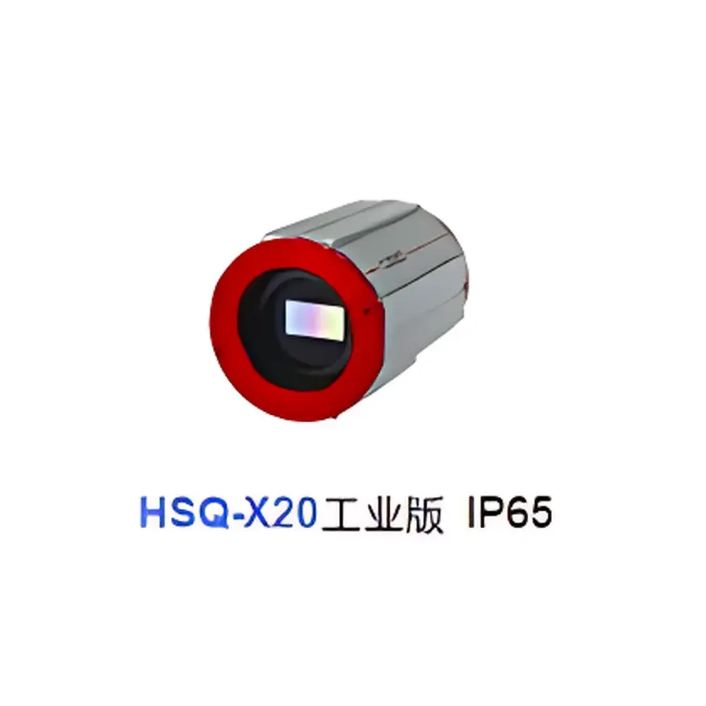
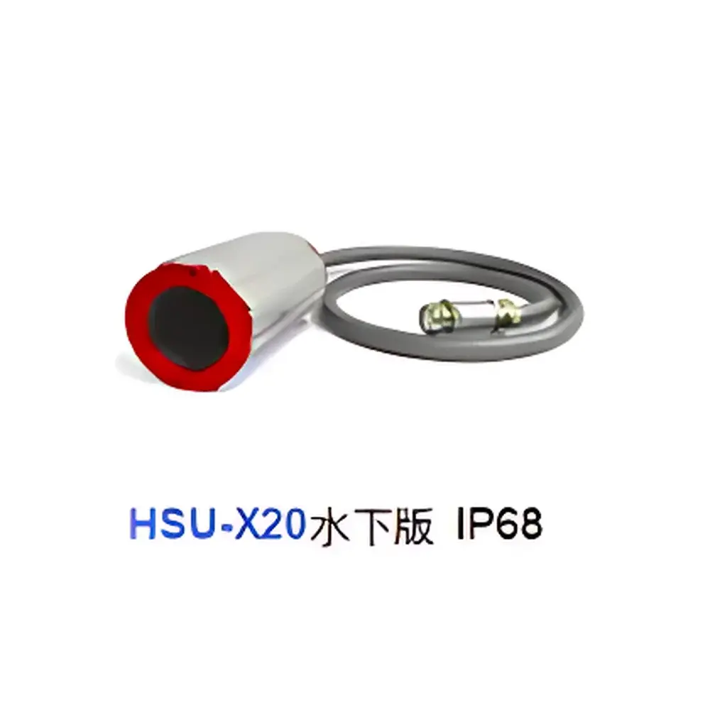
- Ruggedized aluminum housing rated for IP54 environmental protection; operational temperature range: −10 °C to +50 °C
Sample Compatibility & Compliance
The X20P is optimized for reflective surface measurements under natural or controlled illumination, supporting both nadir and oblique viewing geometries. It is widely deployed in vegetation phenotyping, precision agriculture, mineral mapping, environmental monitoring, and cultural heritage documentation. The instrument complies with ISO 17025 calibration traceability requirements when used with certified reference panels (e.g., Spectralon®). Data output conforms to ENVI-compatible BIL/BIP formats and includes embedded geotags (when paired with GNSS/IMU), enabling direct ingestion into GIS and remote sensing workflows. While not certified for medical or pharmaceutical GMP use, its stable spectral response and audit-ready metadata logging support GLP-aligned research protocols—including those referenced in ASTM E2993 (Standard Guide for Hyperspectral Imaging Systems) and ISO 18583 (Remote sensing — Vocabulary).
Software & Data Management
The X20P ships with Cubert’s proprietary uSpectra software suite, a cross-platform application (Windows/Linux/macOS) designed for acquisition control, real-time preview, and post-processing. Key capabilities include spectral unmixing, endmember extraction, supervised/unsupervised classification (e.g., K-means, SVM), and automated derivation of vegetation indices (NDVI, EVI, PRI, NDRE) with pixel-level uncertainty estimates. All processing preserves original radiometric units (digital numbers → reflectance via empirical line or panel-based correction). Raw data are stored in lossless HDF5 format with embedded EXIF-like metadata (exposure, gain, GPS/IMU timestamps, spectral calibration vectors). For enterprise integration, the SDK provides C++/Python APIs supporting custom pipeline development and compliance with FDA 21 CFR Part 11 requirements—including electronic signatures, audit trails, and user access controls—when deployed in validated laboratory environments.
Applications
- Agricultural monitoring: Early stress detection in crops via chlorophyll absorption features (680 nm), water content estimation (970 nm), and nitrogen status mapping
- Environmental assessment: Identification of invasive species, wetland delineation, soil organic carbon estimation, and post-wildfire regrowth analysis
- Geological surveying: Discrimination of clay minerals, iron oxides, and hydrothermal alteration zones using diagnostic absorption features between 400–1000 nm
- Forensic and archival science: Non-invasive pigment identification in paintings, document authentication, and faded ink recovery
- Industrial quality control: Coating uniformity inspection, plastic sorting by polymer signature, and counterfeit product detection
FAQ
What distinguishes the X20P from push-broom hyperspectral cameras?
The X20P acquires all 325 spectral bands simultaneously in a single frame—eliminating spatial misregistration caused by platform motion or vibration. Push-broom systems require precise synchronization between sensor motion and line acquisition, making them susceptible to geometric distortion in UAV applications.
Can the X20P be operated without an external computer?
Yes. Its integrated control unit and onboard SSD enable fully autonomous data capture, triggered via TTL pulse, GNSS event, or internal timer—ideal for long-duration UAV missions.
Is radiometric calibration included and traceable?
Each unit ships with factory-applied radiometric and spectral calibration certificates traceable to PTB (Physikalisch-Technische Bundesanstalt, Germany). Users may perform field recalibration using optional calibrated reflectance panels.
Does the system support real-time onboard processing?
Basic real-time preview and histogram visualization are supported. Full spectral analysis (e.g., classification, index calculation) is performed offline in uSpectra; however, Python API access allows deployment of lightweight models to edge hardware via external compute modules.
What GNSS/IMU integration options are available?
The X20P features a dedicated UART port for direct connection to industry-standard navigation units (e.g., NovAtel SPAN, SBG Ellipse). Geotagged data output includes latitude, longitude, altitude, roll/pitch/yaw, and timestamp synchronized to frame exposure midpoint.