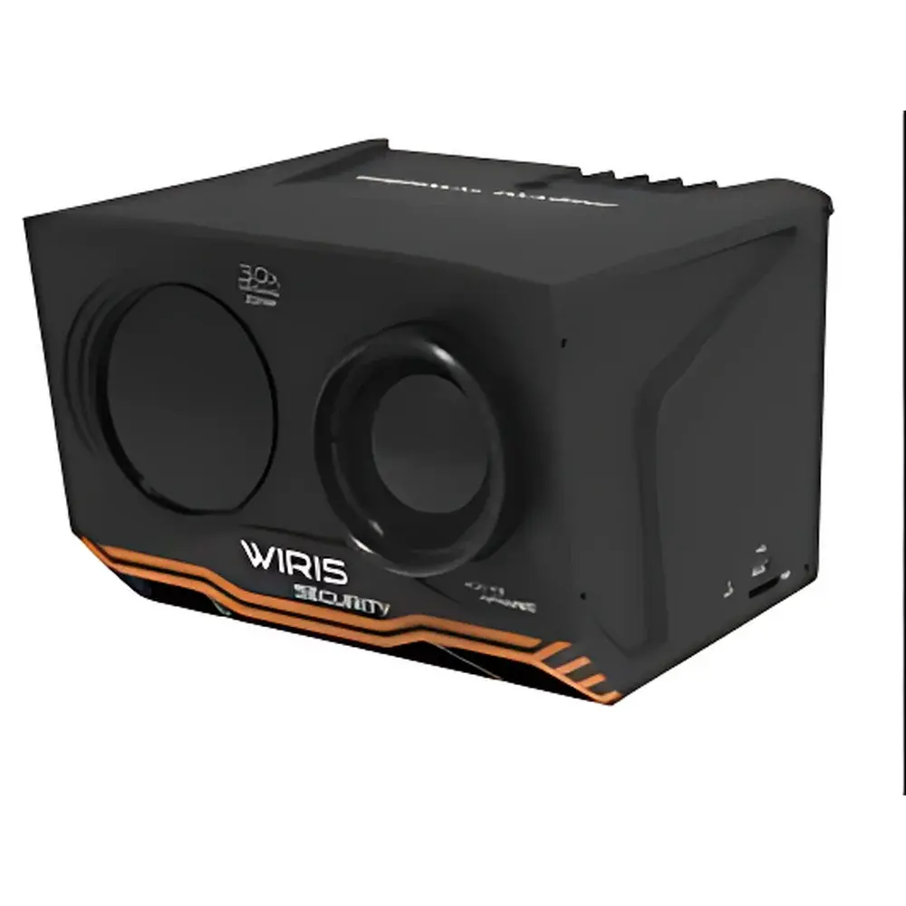
Workswell WIRIS Security Airborne Infrared Thermal Imaging Camera
| Brand | Workswell |
|---|---|
| Origin | Czech Republic |
| Model | WIRIS Security |
| Detector Type | Uncooled Microbolometer (VOx) |
| Spectral Range | 7.5–13.5 µm |
| IR Resolution | 800 × 600 pixels |
| Thermal Sensitivity (NETD) | ≤ 40 mK |
| Temperature Range | −20 °C to +150 °C |
| Accuracy | ±2 °C |
| Frame Rate | 9 Hz or 25 Hz selectable |
| Digital Zoom | 1–12× continuous |
| Visible Camera Resolution | 1920 × 1080 (Full HD) |
| Optical Zoom | 30× with optical image stabilization |
| Focal Length (IR lens) | 35 mm |
| FOV (IR) | 21.2° × 16.2° |
| GSD at 10 m | 0.47 cm |
| Visible Lens Focal Length | 4.3–129.0 mm |
| FOV (Visible) | 2.3°–63.7° |
| Interface | HDMI, CAN 2.0 (7-channel), S.BUS (18-channel), PWM/TTL trigger, GPS/IMU input |
| Storage | Internal 256 GB or 512 GB SSD + microSD/UVC support |
| Power Supply | 9–36 VDC, 19 W max |
| Operating Temperature | −20 °C to +55 °C |
| Dimensions | 111 × 80 × 103 mm |
| Weight | < 780 g |
| ITAR Status | Not subject to ITAR controls |
| Compliance | CE, RoHS, EN 61000-6-3/-4 |
Overview
The Workswell WIRIS Security is a high-performance airborne infrared thermal imaging camera engineered for persistent surveillance, perimeter protection, critical infrastructure monitoring, and UAV-based security operations. It integrates a radiometric uncooled microbolometer detector operating in the long-wave infrared (LWIR) band (7.5–13.5 µm), enabling passive, non-contact temperature measurement without external illumination. Its core architecture follows calibrated radiometric principles compliant with ISO 18434-1 for condition monitoring and ASTM E1933 for quantitative thermography. Designed for integration into rotary- and fixed-wing unmanned platforms, the system delivers synchronized dual-spectrum imaging—thermal and visible—with precise geo-referenced metadata embedded in every frame. The device operates independently of ambient lighting conditions and maintains stable calibration across its full operational temperature range (−20 °C to +55 °C), making it suitable for 24/7 deployment in diverse climatic environments.
Key Features
- Radiometric LWIR imaging at 800 × 600 pixel resolution with NETD ≤ 40 mK, supporting quantitative temperature analysis per pixel.
- Configurable frame rate of 9 Hz (low-power mode) or 25 Hz (high-temporal-resolution mode), optimized for motion-critical detection tasks.
- Dual-sensor payload: Full HD (1920 × 1080) visible-light camera with 30× optical zoom, optical image stabilization, and automatic IR-cut filter switching for seamless day/night transition.
- Real-time onboard processing with adaptive image enhancement: Wide Dynamic Range (WDR), 3D temporal noise reduction, automated dehazing, and intelligent backlight compensation.
- Comprehensive hardware interface suite: Dual CAN 2.0 bus (7-channel), S.BUS (18-channel), TTL/PWM triggering, HDMI output, and integrated GNSS/IMU data logging (satellite count, altitude, velocity, position).
- Non-ITAR-controlled export classification—enabling streamlined international deployment without licensing constraints under U.S. Department of State regulations.
- Robust mechanical design: Aluminum alloy housing, IP54-rated ingress protection, shock/vibration resistance per MIL-STD-810G, and mass-optimized form factor (<780 g) for UAV integration.
Sample Compatibility & Compliance
The WIRIS Security is validated for use with commercial and industrial UAV platforms—including DJI Matrice and custom VTOL systems—via native CAN and S.BUS protocol compatibility. Its radiometric calibration is traceable to NIST-traceable blackbody sources, and raw thermal data conforms to standard IEEE Std 1677-2017 metadata tagging for thermographic sequences. The system supports audit-ready data capture in accordance with GLP and GMP-aligned workflows when used in security-critical asset inspection (e.g., power substations, border checkpoints, oil/gas facilities). All firmware and data handling comply with GDPR-compliant local storage protocols; no telemetry is transmitted externally by default. Electromagnetic compatibility meets EN 61000-6-3 (emissions) and EN 61000-6-4 (immunity) standards.
Software & Data Management
The WIRIS SDK provides C/C++, Python, and MATLAB APIs for OEM-level integration, enabling custom control logic, real-time thermal analytics, and AI-driven anomaly detection pipelines. The desktop application WIRIS Studio supports batch radiometric analysis, isotherm overlay, spot/area temperature profiling, emissivity correction grids, and time-series trending. All recorded data—thermal video (.seq), visible video (.mp4), and synchronized metadata (.csv/.xml)—are stored on internal 256 GB or 512 GB SSD or external microSD/UVC devices. Embedded timestamping includes UTC, GPS coordinates, and IMU orientation quaternions, facilitating post-mission geospatial reconstruction in GIS-compatible formats (e.g., GeoTIFF, KML).
Applications
- Perimeter intrusion detection and autonomous threat assessment via thermal signature classification.
- Power line and substation thermographic inspection under load, identifying hotspots exceeding IEC 60270 thresholds.
- Maritime patrol and coastal surveillance—detection of small vessels, swimmers, or floating debris in low-visibility conditions.
- Wildlife monitoring and anti-poaching operations using thermal contrast differentiation in dense foliage.
- Firefighting command support—real-time structural temperature mapping during urban or forest fire response.
- Industrial asset health monitoring: rotating equipment, HVAC ducts, and battery storage arrays under operational load.
FAQ
Is the WIRIS Security certified for flight on DJI enterprise drones?
Yes—it natively supports DJI’s A3/N3 flight controllers via CAN bus and includes preconfigured parameter sets for Matrice 200/300 series platforms.
Does the system support radiometric video export with per-pixel temperature data?
Yes—raw thermal sequences retain full 14-bit radiometric data with embedded calibration coefficients, compatible with third-party thermography software (e.g., FLIR Tools, ThermaCAM Researcher).
Can the thermal and visible streams be time-synchronized and geometrically registered?
Yes—hardware-level synchronization ensures sub-millisecond alignment; optional co-registration firmware enables pixel-level fusion for thermal-visual overlay analysis.
What is the maximum effective detection range for human-sized targets?
At 10 m standoff distance, GSD is 0.47 cm/pixel; under typical atmospheric conditions (NEDT-limited), detection range for a 1 m² target exceeds 1.2 km (per Johnson’s criteria, 1.5–2.5 cycles per edge).
Is remote firmware update supported over CAN or Ethernet?
Firmware updates are performed via USB-C or microSD; remote OTA is not implemented to maintain airworthiness and cybersecurity integrity per DO-178C guidance.


