Pix4Dmapper Professional Drone Photogrammetry & Remote Sensing Processing Software
| Brand | Pix4D |
|---|---|
| Origin | Switzerland |
| Model | Pix4Dmapper |
| Software Type | Photogrammetric & Multispectral Data Processing Platform |
| Licensing | Perpetual License with Annual Maintenance |
| Deployment | Desktop (Windows/macOS) + Cloud Collaboration |
| Compliance | ISO 9001–certified development process, supports audit-ready project logs and metadata traceability per GLP/GMP-aligned workflows |
Overview
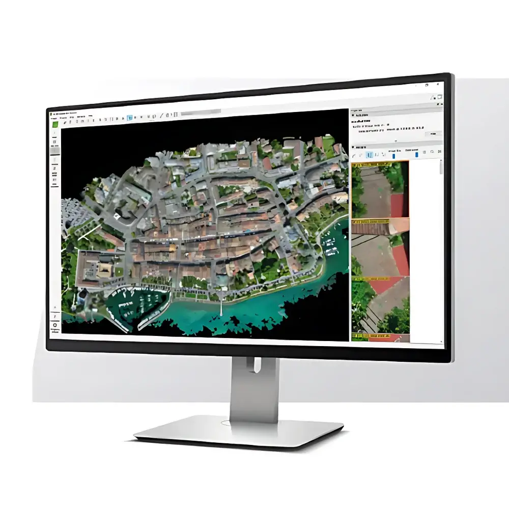
Pix4Dmapper is a professional-grade photogrammetric processing software platform engineered for the precise, automated reconstruction of georeferenced 2D orthomosaics and 3D point clouds from aerial imagery acquired via UAVs, manned aircraft, or satellite platforms. Built on robust structure-from-motion (SfM) and multi-view stereo (MVS) algorithms, it processes RGB, multispectral, thermal infrared, and hyperspectral image datasets—enabling quantitative remote sensing analysis without requiring manual tie-point selection or expert photogrammetric calibration. Designed for laboratory-scale validation, field-to-lab data integration, and regulatory-compliant reporting, Pix4Dmapper serves as a core analytical module in environmental monitoring labs, precision agriculture research facilities, civil engineering QA/QC units, and geospatial R&D centers.
Key Features
- Fully automated workflow—from image import to orthomosaic, DSM, DTM, 3D textured mesh, and point cloud generation—with no manual intervention required after initial project configuration.
- Native support for multispectral sensor data (e.g., MicaSense RedEdge, Parrot Sequoia, Sentera NDVI+), including radiometric calibration, reflectance map computation, and vegetation index derivation (NDVI, NDRE, GNDVI, EVI).
- Thermal image alignment and temperature mapping with pixel-level radiometric correction using calibrated thermal camera metadata (FLIR Vue Pro R, Zenmuse XT2).
- High-accuracy georeferencing via integrated GNSS/IMU data fusion, ground control point (GCP) optimization, and bundle adjustment with residual error reporting.
- Built-in quality assurance metrics—including image overlap analysis, reconstruction confidence maps, reprojection error heatmaps, and point cloud density statistics—for method validation and SOP documentation.
- Batch processing capability across multiple projects with configurable processing templates, enabling standardized lab-wide data reduction protocols.
Sample Compatibility & Compliance
Pix4Dmapper accepts input from all major commercial and scientific aerial imaging platforms, including DJI Matrice 300 RTK, senseFly eBee X, WingtraOne, and custom fixed-wing or rotary UAVs equipped with full-frame or APS-C sensors (≥12 MP). It ingests TIFF, JPEG, CR2, DNG, and RAW formats with embedded EXIF/XMP metadata. The software complies with ISO 19115–compliant metadata export, supports GDAL/OGR-standard GIS output formats (GeoTIFF, LAS/LAZ, Shapefile, KML), and maintains full traceability of processing parameters, sensor models, and georeferencing methods—facilitating adherence to ASTM E2847 (Standard Guide for Unmanned Aircraft Systems Photogrammetry), ISO 19130-2 (Geographic information — Imagery sensor models), and internal GLP/GMP documentation requirements.
Software & Data Management
Pix4Dmapper operates as a desktop application (Windows 10/11, macOS 12+) with optional cloud synchronization via Pix4Dcloud for collaborative review, version-controlled project sharing, and remote QC approval workflows. All processing logs—including timestamps, user IDs, parameter sets, and intermediate outputs—are retained locally and exportable in CSV/JSON format for audit trails. The software supports role-based access control when deployed within institutional networks and integrates with enterprise LIMS environments through RESTful API endpoints for automated ingestion of processed deliverables (e.g., orthomosaic checksums, index rasters, volumetric reports) into sample tracking databases. Data encryption at rest and in transit aligns with ISO/IEC 27001–aligned IT security policies.
Applications
- Environmental laboratories performing land cover classification, change detection, and habitat fragmentation analysis using time-series orthomosaics.
- Agricultural research stations quantifying crop health, biomass estimation, and irrigation efficiency via multispectral index time series.
- Civil infrastructure labs conducting stockpile volume calculation, deformation monitoring, and construction progress verification against BIM models.
- Forestry and soil science units mapping canopy height models (CHM), leaf area index (LAI), and erosion risk zones using dense point clouds.
- Regulatory compliance units generating auditable geospatial evidence packages for EPA, USDA, or EU CAP reporting frameworks.
FAQ
Is Pix4Dmapper validated for use in regulated laboratory environments?
Yes—while not FDA 21 CFR Part 11–certified out-of-the-box, Pix4Dmapper supports Part 11–aligned configurations via external electronic signature systems, audit log exports, and secure user authentication when deployed on managed institutional infrastructure.
Can processing parameters be locked and standardized across multiple users?
Yes—project templates with predefined coordinate systems, output resolutions, filtering thresholds, and index calculation settings can be saved, distributed, and enforced as standard operating procedures.
Does Pix4Dmapper support batch processing of time-series drone datasets?
Yes—using the Command Line Interface (CLI) mode, users can script sequential processing of daily/weekly acquisitions with consistent parameters and auto-generated naming conventions for longitudinal analysis.
What level of technical support and software maintenance is included?
A perpetual license includes one year of maintenance (updates, bug fixes, priority email support); annual renewal ensures continued access to new sensor integrations, algorithm improvements, and compliance-related feature enhancements.


