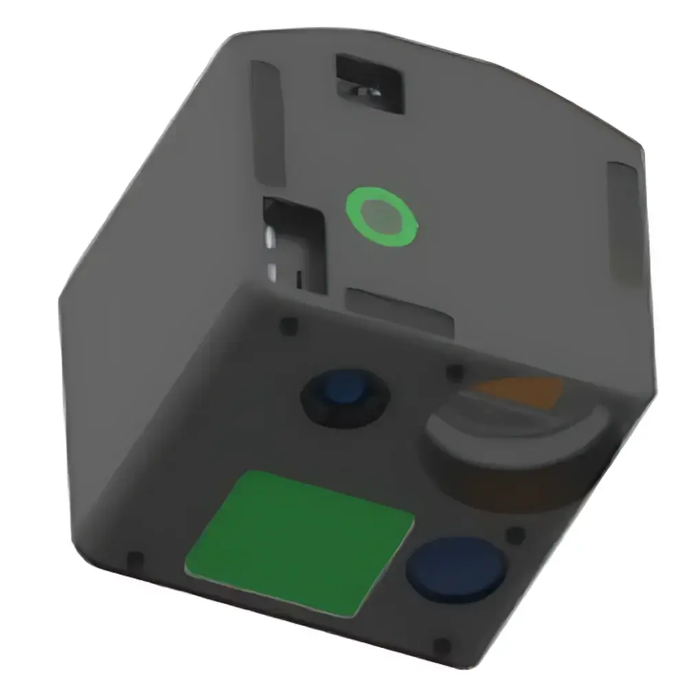
Cubert X20P-LIR Hyperspectral Imaging System with Integrated LiDAR and Thermal IR
| Brand | Cubert |
|---|---|
| Origin | Germany |
| Model | X20P LIR |
| Spectral Range | 350–1000 nm |
| Spatial Resolution | 1886 × 1886 pixels per frame |
| Spectral Resolution | 1886 × 1886 pixels per frame |
| Field of View (TFOV) | ≥2 cubes/s |
| Instantaneous Field of View (IFOV) | ≥2 cubes/s |
| Frame Rate | ≥2 cubes/s |
| Imaging Modality | Dispersive |
| Platform Compatibility | Ground-based and airborne (UAV-integrated) |
| Core Integration | Synchronized hyperspectral, LiDAR, and thermal infrared acquisition |
Overview
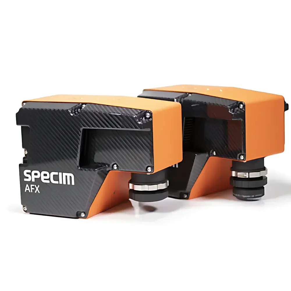
The Cubert X20P-LIR is a field-deployable, multi-sensor hyperspectral imaging system engineered for synchronized, co-registered acquisition of spectral, spatial, and thermal data in real time. Unlike conventional push-broom or scanning systems, the X20P-LIR leverages Cubert’s proprietary snapshot spectral imaging architecture—based on integrated micro-optical filter arrays and monolithic CMOS sensor design—to capture full 1886 × 1886 pixel hyperspectral datacubes in a single exposure. This eliminates motion-induced misregistration and enables robust operation on dynamic platforms, including rotary-wing and fixed-wing UAVs. The system operates across the visible to near-infrared (VNIR) spectrum (350–1000 nm), delivering high-fidelity reflectance signatures essential for quantitative material identification, vegetation biophysical parameter retrieval, and surface composition analysis. Its native integration of solid-state LiDAR (450 m range at 80% reflectance) and uncooled microbolometer-based thermal infrared imaging ensures simultaneous geometric, radiometric, and thermal characterization—critical for applications requiring structural context (e.g., canopy height modeling) and emissivity-corrected temperature mapping.
Key Features
- Snapshot hyperspectral imaging: Full-frame 1886 × 1886 pixel datacubes acquired without scanning—eliminating motion artifacts and enabling high-speed platform deployment.
- Multi-modal sensor fusion: Hardware-synchronized acquisition across three independent modalities—VNIR hyperspectral (350–1000 nm), solid-state LiDAR (time-of-flight, 450 m @ 80% reflectance), and thermal infrared (uncooled VOx microbolometer array).
- Integrated navigation-grade inertial measurement unit (IMU): Tightly coupled with GNSS for precise georeferencing; supports post-processed kinematic (PPK) and real-time kinematic (RTK) workflows compliant with ISO 19115 metadata standards.
- Onboard embedded control & storage: Linux-based real-time controller with dual NVMe SSDs (2 TB total), supporting lossless raw data recording at ≥2 cubes/s sustained throughput.
- Ruggedized UAV-ready enclosure: IP54-rated housing, passive thermal management, and shock/vibration compliance per MIL-STD-810H for airborne operations up to 6000 m ASL.
- Calibration traceability: Factory-calibrated radiometrically (NIST-traceable lamp sources) and spectrally (monochromator-based); includes onboard dark current and flat-field correction routines.
Sample Compatibility & Compliance
The X20P-LIR is designed for non-contact, stand-off remote sensing of heterogeneous natural and anthropogenic surfaces—including vegetation canopies, soil substrates, mineral outcrops, urban infrastructure, and agricultural fields. It does not require sample preparation, physical contact, or controlled illumination environments. Its VNIR spectral response conforms to ASTM E275 and ISO 11664-2 for spectral radiance measurement accuracy. Data output formats (ENVI .hdr/.bin, GeoTIFF, HDF5) support interoperability with GIS and photogrammetry pipelines compliant with OGC SensorML and INSPIRE metadata directives. The system meets electromagnetic compatibility (EMC) requirements per EN 61326-1 and carries CE marking for deployment within EU regulatory frameworks. For regulated environments (e.g., environmental monitoring under EPA Method 185.1 or precision agriculture reporting under ISO 11783-12), raw data provenance—including IMU timestamps, sensor temperature logs, and calibration coefficients—is preserved in immutable audit trails.
Software & Data Management
Cubert’s UHD-Analyzer software suite provides end-to-end processing—from radiometric correction and atmospheric compensation (using MODTRAN-based look-up tables) to spectral unmixing (vertex component analysis, VCA) and LiDAR point cloud registration. All processing modules are scriptable via Python API (PyCubert), enabling integration into automated QA/QC pipelines. Raw data files include embedded EXIF and XMP metadata compliant with ISO 19115-3, ensuring traceability for GLP/GMP-aligned workflows. Optional FDA 21 CFR Part 11-compliant module adds electronic signature capability, role-based access control, and immutable audit logging for regulated life science or environmental compliance use cases.
Applications
- Agricultural monitoring: Crop health assessment (NDVI, PRI, MCARI), nutrient stress detection, yield prediction, and irrigation optimization via spectral-temporal indices.
- Environmental remote sensing: Wetland delineation, invasive species mapping, soil organic carbon estimation, and post-wildfire burn severity classification.
- Geological surveying: Mineralogical mapping (e.g., clay, carbonate, iron oxide identification), lithological boundary detection, and hydrothermal alteration zone analysis.
- Infrastructure inspection: Solar panel defect detection (microcrack, hot spot localization), roof material degradation assessment, and thermal bridging analysis in building envelopes.
- Defense & security: Camouflage detection, concealed object identification, and chemical residue screening using spectral anomaly detection algorithms.
FAQ
What spectral calibration standards are applied during factory certification?
Each X20P-LIR unit undergoes spectral calibration using a NIST-traceable tungsten-halogen source and a calibrated monochromator; spectral band centers and FWHM values are validated across the full 350–1000 nm range.
Is the LiDAR subsystem eye-safe?
Yes—the integrated solid-state LiDAR operates at Class 1 (IEC 60825-1:2014), posing no ocular hazard under normal operating conditions.
Can the system operate in real-time transmission mode without onboard storage?
No—real-time telemetry is not supported; all data is recorded locally to ensure integrity, synchronization fidelity, and compliance with bandwidth-constrained UAV communication protocols.
Does the thermal IR channel provide radiometric temperature accuracy?
Yes—calibrated to ±2 °C absolute accuracy (±1 °C repeatability) over 0–60 °C ambient range, with emissivity correction enabled via user-defined surface parameters.
What GNSS constellations does the integrated IMU support?
GPS L1/L2, GLONASS L1/L2, Galileo E1/E5b, and BeiDou B1I/B2I—enabling multi-constellation RTK/PPK solutions with sub-10 cm horizontal positioning accuracy.