AERO PSAR Series MiniSAR Airborne Synthetic Aperture Radar System
| Brand | AERO |
|---|---|
| Origin | Beijing, China |
| Model | PSAR-Ku / PSAR-X / PSAR-C / PSAR-L |
| Frequency Bands | Ku (12–18 GHz), X (8–12 GHz), C (4–8 GHz), L (1–2 GHz) |
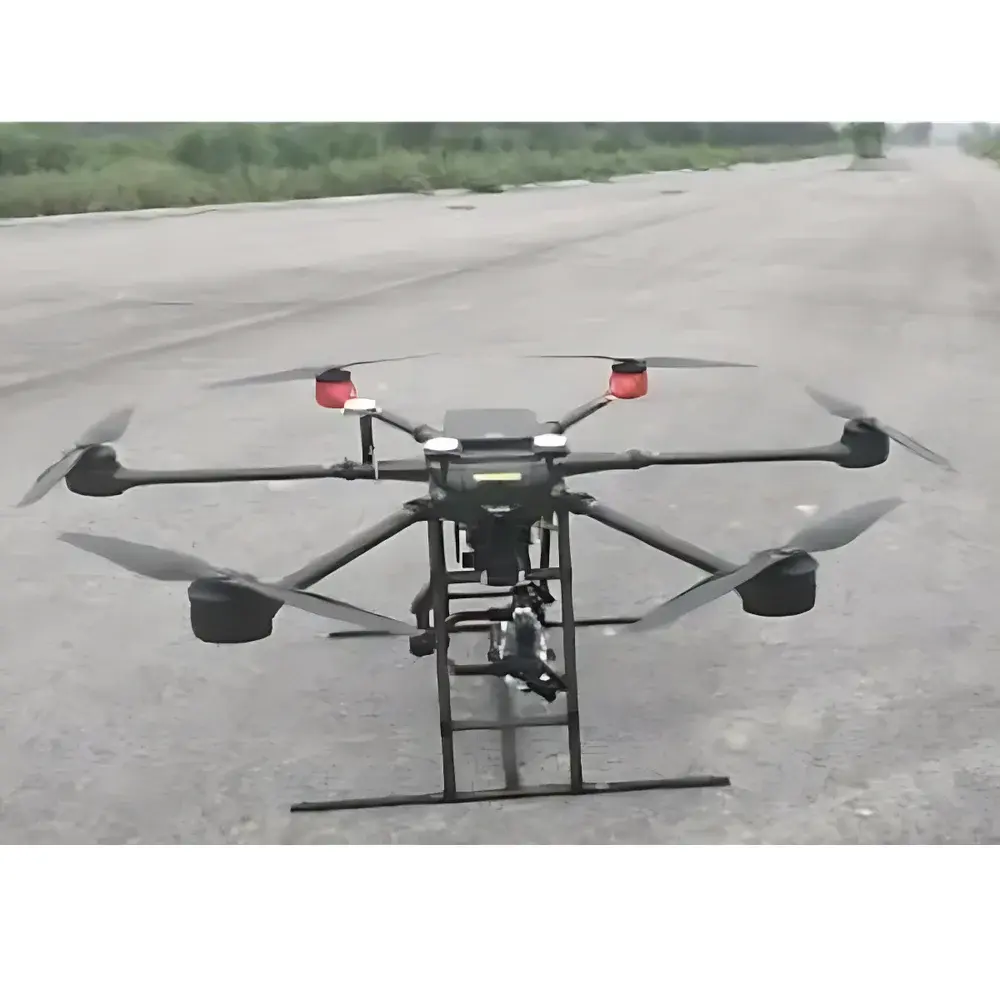
| Platform Integration | UAV-mounted (multirotor & fixed-wing), lightweight & low-power architecture |
| Polarization Modes | Single-, dual-, and full-polarimetric real-time imaging |
| Operational Modes | Stripmap, Spotlight, GMTI |
| Imaging Capability | All-weather, day/night SAR data acquisition |
Overview
The AERO PSAR Series MiniSAR is a compact, airborne synthetic aperture radar (SAR) payload engineered for integration onto low-altitude unmanned aerial vehicles (UAVs). Unlike optical or infrared remote sensing systems, SAR operates independently of ambient lighting and atmospheric conditions by actively emitting microwave pulses and coherently processing the backscattered echoes to synthesize a high-resolution aperture. The PSAR system implements pulse-based coherent radar architecture with real-time onboard signal processing and downlink transmission via secure RF telemetry link—enabling immediate georeferenced image generation during flight. Its design prioritizes operational flexibility across diverse mission profiles, including tactical reconnaissance, terrain mapping, change detection, and persistent surveillance in GPS-denied or cloud-covered environments.
Key Features
- Multi-band operational capability across Ku (12–18 GHz), X (8–12 GHz), C (4–8 GHz), and L (1–2 GHz) frequency bands—supporting trade-offs between resolution, penetration depth, and atmospheric attenuation based on mission requirements.
- Real-time polarimetric imaging: configurable single-, dual-, and full-polarization (HH/HV/VH/VV) modes for enhanced target discrimination and dielectric property analysis.
- Three primary imaging modes: stripmap (wide-area coverage), spotlight (high-resolution focused imaging), and Ground Moving Target Indication (GMTI) for slow-moving vehicle detection and velocity estimation.
- Ultra-compact form factor (< 5 kg typical mass, < 15 L volume) and low power consumption (< 120 W average), enabling deployment on Class II and III UAV platforms per NATO STANAG 4671 guidelines.
- Integrated inertial navigation system (INS) and GNSS receiver for precise motion compensation and sub-meter geolocation accuracy under dynamic flight conditions.
- Ruggedized enclosure compliant with MIL-STD-810G for vibration, shock, temperature cycling, and humidity exposure—validated for sustained operation from –20 °C to +55 °C.
Sample Compatibility & Compliance
The PSAR Series is designed for direct mechanical and electrical integration with industry-standard UAV airframes—including DJI Matrice 300 RTK, Freefly Alta X, and custom fixed-wing platforms with CAN/RS-422/UDP interfaces. Mechanical mounting follows ISO 9001-certified structural interface specifications; electrical integration supports 24–36 V DC input and synchronized trigger I/O. The system complies with ITU-R M.1843 spectral mask requirements for airborne radar emissions and adheres to EN 301 489-1/-17 for electromagnetic compatibility (EMC). Data products conform to STDI-2 (Standard Terrain Data Interchange) and comply with NGA’s SEDRIS-compliant metadata tagging for interoperability with GEOINT workflows.
Software & Data Management
AERO provides the PSAR-GroundStation Suite—a cross-platform application (Windows/Linux) supporting real-time display, radiometric calibration, terrain correction (using SRTM or local DEM inputs), and SAR image formation (range-Doppler and ω-k algorithms). Raw IQ data is stored in standard HDF5 format with embedded STAMP-compliant metadata (SAR Technical Attribute Metadata Profile). Post-processing tools include polarimetric decomposition (Cloude-Pottier, Freeman-Durden), coherence analysis, and interferometric baseline estimation. Audit trails, user access logs, and parameter versioning meet GLP-aligned documentation standards; optional FDA 21 CFR Part 11 compliance package available for regulated environmental monitoring applications.
Applications
- Defense & Security: Border surveillance, concealed object detection, battlefield change assessment, and non-cooperative target identification using polarimetric signatures.
- Geoscience & Natural Resource Management: Subsurface feature mapping (e.g., buried river channels, fault lines), soil moisture estimation (L-band), and vegetation structure modeling (X/C-band).
- Maritime Domain Awareness: Ship detection and classification, oil spill delineation, sea ice characterization, and wave spectrum inversion.
- Agricultural Monitoring: Crop type classification, growth stage assessment, and irrigation efficiency evaluation via time-series coherence and backscatter trend analysis.
- Disaster Response: Rapid flood extent mapping, landslide deformation tracking (DInSAR-ready), and post-event infrastructure damage grading under all-weather constraints.
FAQ
What UAV platforms are certified for PSAR integration?
PSAR has been validated on DJI Matrice 300 RTK, Freefly Alta X, and custom fixed-wing airframes meeting ≥2 kg payload capacity and ≥15 min endurance at 100–500 m AGL. Integration kits include mechanical brackets, power regulators, and communication harnesses.
Does PSAR support interferometric SAR (InSAR) or differential InSAR (DInSAR)?
Yes—the system records phase-stable raw IQ data with timestamp-synchronized position/attitude metadata, enabling repeat-pass InSAR processing using third-party toolchains such as GAMMA or ISCE2.
Is real-time image transmission encrypted?
All telemetry links utilize AES-256 encryption with TLS 1.3 handshake; RF link security complies with NATO AEP-55 Annex B requirements for classified UAV datalinks.
Can PSAR operate without GNSS input?
Yes—INS-only mode enables degraded but functional imaging for short-duration missions in GNSS-denied environments; performance degrades linearly with drift accumulation beyond 60 seconds.
What data formats are exported from the ground station software?
Geocoded GeoTIFF (with RPC metadata), CEOS Level 1.0, and HDF5 with STAMP-compliant headers; optional export to COG (Cloud Optimized GeoTIFF) for web GIS deployment.


