ENVIS-UAS Environmental Monitoring Unmanned Aerial System
| Origin | Beijing, China |
|---|---|
| Manufacturer Type | Authorized Distributor |
| Origin Category | Domestic (China) |
| Model | ENVIS-UAS |
| Pricing | Available Upon Request |
Overview
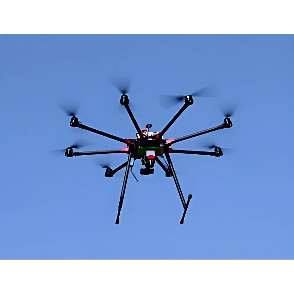
The ENVIS-UAS Environmental Monitoring Unmanned Aerial System is an integrated, field-deployable remote sensing platform engineered for high-precision ecological and environmental telemetry. Built upon an industrial-grade octocopter airframe, it implements a multi-sensor fusion architecture grounded in physical measurement principles—including radiometric calibration of multispectral reflectance, thermal infrared emissivity analysis (7.5–13.5 µm), and real-time gas-phase concentration quantification via non-dispersive infrared (NDIR) and electrochemical sensing. Designed in direct alignment with regulatory imperatives outlined in China’s 2014 State Council General Office Notice on Strengthening Environmental Supervision and Law Enforcement, the system enables rapid-response aerial reconnaissance, continuous spatial-temporal monitoring, and quantitative source attribution—critical for compliance-driven environmental management under evolving national and provincial emission control frameworks.
Key Features
- Industrial octocopter platform with VTOL capability, redundant flight control architecture, and dual-redundant motor failure tolerance (maintains stable flight even after loss of any two rotors)
- Gimbal-stabilized sensor payload mount supporting sub-degree angular precision (±0.1° tracking accuracy) and full ±160° pitch range
- Modular payload interface enabling hot-swap integration of optical, thermal, spectral, and gaseous analyte modules without structural reconfiguration
- Dual-band telemetry: 2.4 GHz DSSS command uplink (10-channel, FCC-compliant 100 dBm EIRP) and 5.8 GHz FPV downlink (800×480 display, DVR black-box recording to microSD up to 32 GB)
- Multi-constellation GNSS navigation (GPS/GLONASS/BeiDou/Galileo) with barometric + ultrasonic altitude hold (±25 px accuracy within 10 m AGL)
- Onboard flight state logging module capturing inertial metrics (vibration spectra, acceleration vectors), ambient pressure, and temperature at 10 Hz sampling rate
- Integrated energy management system featuring dual-channel LiPo65 charging (1400 W max), standard 16,000 mAh battery (optional 22,000 mAh), and intelligent thermal regulation
Sample Compatibility & Compliance
The ENVIS-UAS supports heterogeneous environmental sample characterization across atmospheric, aquatic, and terrestrial domains. Its sensor suite is calibrated against NIST-traceable reference standards and validated per ISO/IEC 17025 laboratory accreditation requirements. The system complies with IEC 62287-2 for unmanned aircraft electromagnetic compatibility and meets CE RED Directive 2014/53/EU for radio equipment. For operational deployment in regulated airspace, it supports geo-fencing and ADS-B In integration per CNS/ATM protocols. Data acquisition workflows are structured to support GLP-aligned documentation practices, including time-stamped georeferenced metadata (WGS84), sensor-specific calibration certificates, and audit-ready log export (CSV/GeoJSON). Optional CO₂ and air quality modules conform to ISO 12039 and EN 14625 for ambient gas monitoring instrumentation.
Software & Data Management
The ENVIS-UAS ground control station (GCS) runs on ruggedized field laptops preloaded with proprietary mission planning software compatible with Google Maps, Bing Maps, and Gaode Map baselayers. It supports waypoint-based autonomous flight scripting, real-time telemetry overlay (altitude, speed, heading, battery SOC, sensor health status), and post-mission orthomosaic generation via structure-from-motion (SfM) pipelines. All imagery and spectral data are embedded with EXIF-compliant geotags and synchronized UTC timestamps. Raw sensor logs—including thermal video streams, multispectral cube stacks (5-band, 7 MP), and time-series gas concentration traces—are exportable in vendor-neutral formats (TIFF, HDF5, NetCDF) for downstream analysis in ENVI, QGIS, or Python-based scientific computing environments. Firmware updates and sensor calibration profiles are managed through secure OTA channels compliant with TLS 1.2 encryption.
Applications
- Rapid assessment of hazardous release events (e.g., hydrocarbon spills, chemical plume dispersion, fugitive methane emissions) using thermal anomaly detection and multispectral oil signature classification
- Quantitative chlorophyll-a mapping and cyanobacterial bloom detection in inland waters via normalized difference vegetation index (NDVI) and floating algal index (FAI) derived from 5-band spectral data
- Post-mining land rehabilitation monitoring through NDVI time-series analysis and surface temperature heterogeneity profiling
- Landfill gas migration tracking using CO₂ concentration gradients coupled with thermal imaging of subsurface exothermic reactions
- Smoke stack emission characterization via thermal contrast analysis and plume trajectory modeling under prevailing wind conditions
- Vertical profiling of atmospheric parameters (temperature, humidity, irradiance, CO₂) using configurable ascent/descent protocols
FAQ
What regulatory standards does the ENVIS-UAS comply with for environmental data collection?
The system adheres to ISO/IEC 17025 traceability requirements for sensor calibration and supports documentation structures aligned with GLP and China’s HJ 972–2018 technical guidelines for unmanned aerial environmental monitoring.
Can the system operate beyond visual line of sight (BVLOS)?
Yes—when integrated with certified C2 link modules and approved by local civil aviation authorities, BVLOS operations are supported under Class I UAS regulations with mandatory remote ID and detect-and-avoid (DAA) augmentation.
Is raw hyperspectral data accessible for third-party processing?
All sCMOS and hyperspectral sensors output unprocessed radiance data in HDF5 format with full metadata headers, enabling radiometric correction, atmospheric compensation, and custom band ratio derivation.
How is sensor calibration maintained during long-term deployments?
Each payload includes onboard reference sources (e.g., blackbody targets for IR, spectral lamps for multispectral units) and automated self-calibration routines executed before each flight cycle.
Does the system support integration with existing GIS or environmental management platforms?
Yes—via RESTful API and OGC-compliant WMS/WFS endpoints, enabling seamless ingestion into ArcGIS Enterprise, QGIS Server, or custom web-based environmental dashboards.


