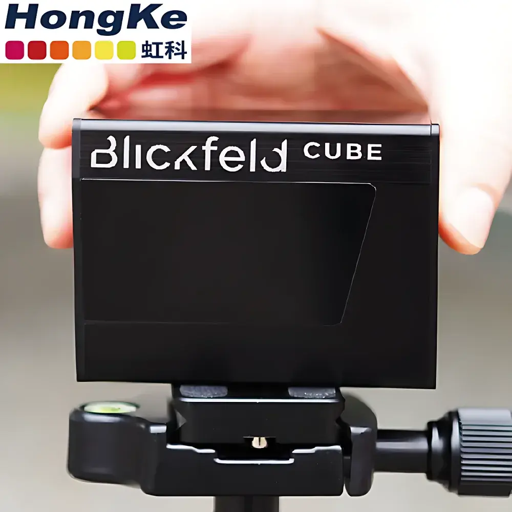
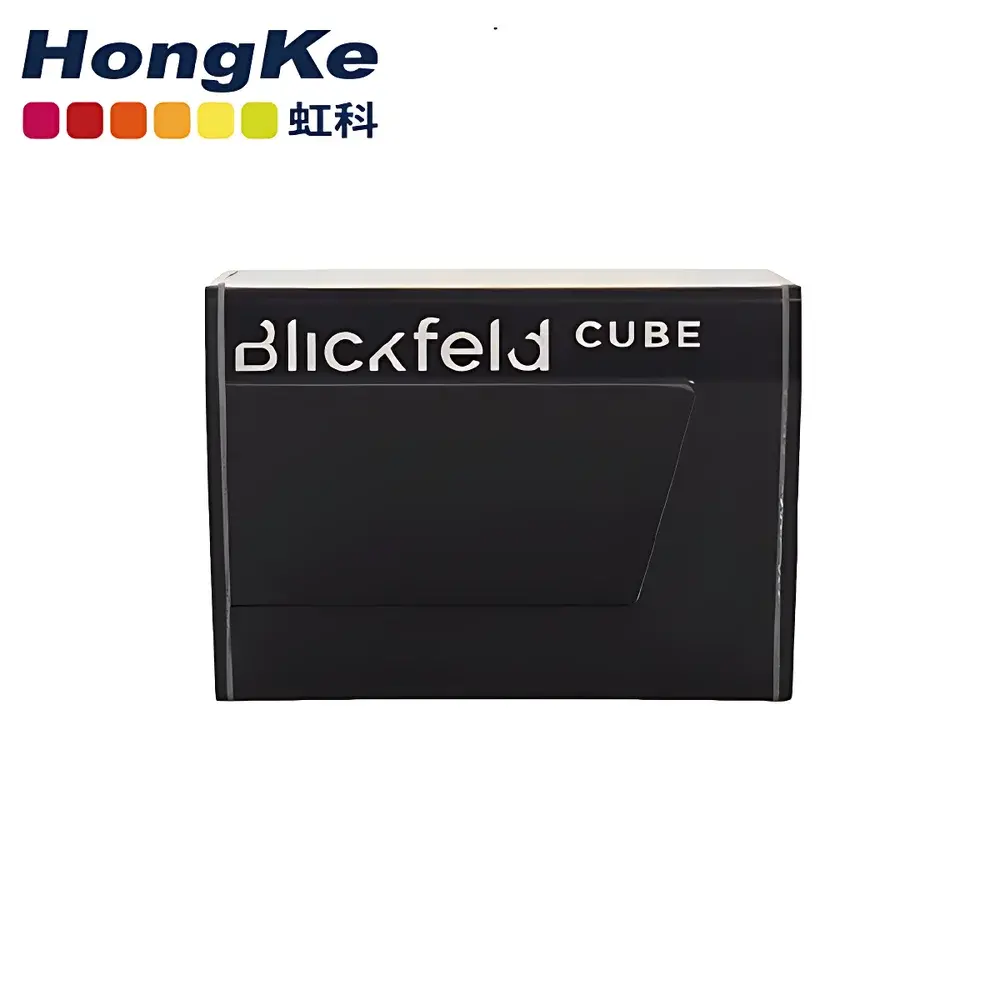
HKCube 1 Solid-State LiDAR Sensor by HK-TECH
| Origin | Germany |
|---|---|
| Manufacturer Type | Authorized Distributor |
| Origin Category | Imported |
| Model | HKCube 1 |
| Pricing | Available Upon Request |
Overview
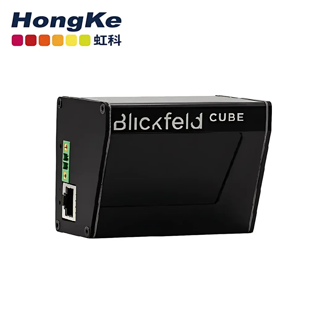
The HKCube 1 is a compact, solid-state LiDAR sensor engineered for high-reliability perception in resource-constrained mobile platforms. Unlike mechanical or MEMS-based scanning systems, the HKCube 1 employs a patented mirror-based optical architecture that eliminates moving parts—ensuring long-term operational stability, shock resistance, and immunity to vibration-induced misalignment. Its measurement principle relies on time-of-flight (ToF) pulsed laser ranging at 905 nm wavelength, delivering precise distance data across a wide field of view (FoV) without rotational mechanics. Designed specifically for integration into unmanned aerial vehicles (UAVs), autonomous ground vehicles (AGVs), mobile mapping systems, and infrastructure-aware monitoring solutions, the HKCube 1 balances volumetric efficiency (5 × 6 × 8 cm) with functional robustness required in outdoor, real-time 3D sensing applications.
Key Features
- True solid-state design with no rotating or oscillating components—optimized for MTBF > 25,000 hours under continuous operation.
- Compact form factor (50 × 60 × 80 mm) enables seamless integration into SWaP-constrained platforms including nano-drones and compact robotic chassis.
- Wide angular coverage: 120° horizontal × 30° vertical FoV with configurable ROI masking and dynamic frame-rate adjustment (up to 30 Hz).
- Integrated temperature compensation and automatic gain control ensure consistent point-cloud density across ambient conditions from −20 °C to +60 °C.
- Dual-output interface: Synchronized Ethernet (100BASE-TX) for point-cloud streaming and UART (TTL/RS-232) for configuration and firmware updates.
- IP67-rated enclosure with aluminum alloy housing for dust and water ingress protection during field deployment.
Sample Compatibility & Compliance
The HKCube 1 is compatible with standard ROS 2 (Foxy and later) and Autoware-compatible middleware stacks. It supports native integration with common SLAM frameworks including LOAM, LeGO-LOAM, and FAST-LIO2 via published PCD and ROS2 PointCloud2 message formats. From a regulatory standpoint, the sensor complies with IEC 60825-1:2014 Class 1 laser safety requirements and meets EN 61000-6-3:2011 (EMC emission standards) and EN 61000-6-2:2016 (immunity). It is CE-marked and RoHS-compliant. While not certified for aviation-specific DO-160 or automotive ISO 26262 ASIL-B out-of-the-box, its deterministic latency (< 15 ms end-to-end) and hardware-level synchronization inputs (PPS, SyncIn) support integration into safety-critical architectures when validated per customer system-level requirements.
Software & Data Management
The HKCube 1 ships with HK-TECH’s proprietary HKLiDAR Suite—a cross-platform SDK supporting Linux (Ubuntu 20.04/22.04), Windows 10/11, and QNX 7.1. The suite includes calibration tools for intrinsic/extrinsic parameter estimation, real-time visualization GUI, and CLI utilities for firmware management and sensor diagnostics. All point-cloud data is timestamped using IEEE 1588v2 (PTP) capable hardware clocks, enabling traceable temporal alignment with GNSS, IMU, and camera streams. Audit-ready logging features include configurable binary log capture, metadata embedding (sensor ID, firmware version, temperature, voltage), and optional encryption (AES-128) for secure data handling in regulated environments. The SDK adheres to ISO/IEC 17025-aligned documentation practices and provides full API reference manuals with Doxygen-generated documentation.
Applications
- Urban and rural 3D mapping: High-frequency, low-drift point clouds for centimeter-accurate digital twin generation and change detection over repeated survey campaigns.
- Autonomous navigation: Obstacle detection and free-space segmentation for low-speed AGVs operating in structured and semi-structured environments (e.g., warehouses, campuses, construction sites).
- Crowd analytics: Multi-target tracking and occupancy estimation in public spaces using calibrated vertical FoV and height-based classification logic.
- Infrastructure inspection: Pole, wire, and façade clearance analysis via integrated intensity normalization and reflectivity compensation algorithms.
- Mobile robotics R&D: Low-latency perception input for academic and industrial research in simultaneous localization and mapping (SLAM), path planning, and behavior prediction.
FAQ
Is the HKCube 1 suitable for outdoor use in direct sunlight?
Yes—the optical receiver incorporates narrowband filtering centered at 905 nm and adaptive ambient light rejection, maintaining stable ranging performance up to 100 klux illumination.
Does it support synchronized multi-sensor fusion?
Yes—hardware trigger input (TTL) and PPS input allow microsecond-level synchronization with cameras, IMUs, and GNSS receivers.
What is the maximum unambiguous range and typical accuracy?
Maximum range is 120 m (for 80% reflectivity target); RMS distance accuracy is ±3 cm at 50 m under standard conditions.
Can the sensor be calibrated in-field?
Yes—HKLiDAR Suite includes a geometric calibration workflow requiring only a planar checkerboard pattern and supports post-deployment correction of beam divergence and FoV distortion.
Is firmware update supported over Ethernet?
Yes—remote firmware upgrades are performed via HTTP POST or TFTP, with rollback capability and CRC-verified image validation.