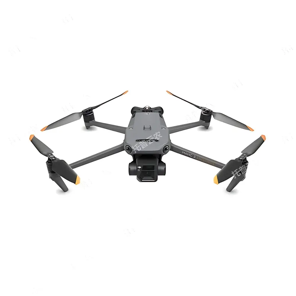


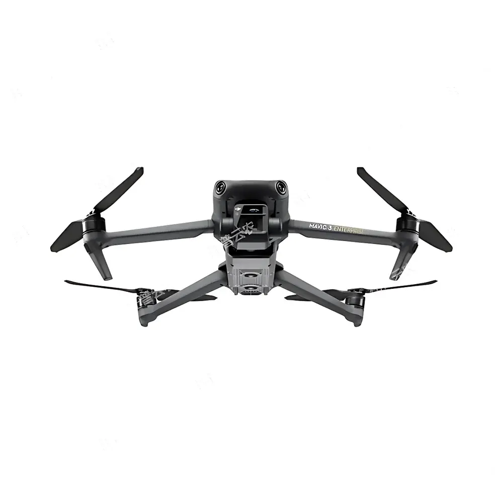
Top Cloud-agri Multi-Spectral UAV Phenotyping System
| Brand | Top Cloud-agri |
|---|---|
| Origin | Zhejiang, China |
| Manufacturer Type | OEM/ODM Producer |
| Product Category | Domestic |
| Model | Multi-Spectral UAV Platform |
| Pricing | Upon Request |
Overview
The Top Cloud-agri Multi-Spectral UAV Phenotyping System is a field-deployable, integrated remote sensing platform engineered for high-throughput plant phenotyping in agricultural and ecological research. It combines a stabilized unmanned aerial vehicle (UAV) with a calibrated multi-spectral imaging payload to acquire spatially registered reflectance data across five discrete spectral bands—green (G), red (R), red edge (RE), and near-infrared (NIR)—enabling quantitative assessment of biophysical and biochemical plant traits. The system operates on the principle of passive optical remote sensing, leveraging vegetation index derivation (e.g., NDVI, NDRE, GNDVI, CIrededge) from radiometrically corrected surface reflectance. Designed for low-altitude (< 120 m AGL) autonomous flight, it delivers sub-decimeter ground sampling distance (GSD) resolution under controlled illumination conditions, supporting repeatable, non-destructive monitoring of canopy structure, chlorophyll content, water status, and stress-induced spectral shifts. Its architecture aligns with FAO’s framework for digital agriculture and supports interoperability with ISO 11783 (ISOBUS) and OGC SensorML metadata standards.
Key Features
- Multi-Crop Algorithm Suite: Pre-validated analytical pipelines for rice, wheat, maize, soybean, and cotton—including emergence rate estimation, canopy cover quantification, phenological stage classification (BBCH scale), plant height modeling via DSM generation, lodging detection using texture-gradient analysis, and yield proxy modeling.
- Maize Tassel Detection Engine: A domain-specific deep learning model trained on annotated tassel imagery to localize male inflorescences with ≥92% precision under variable lighting and canopy density; supports georeferenced tassel mapping for mechanical or manual detasseling operations.
- Fully Autonomous Mission Execution: Integrated flight planning software enables mission definition via polygonal field boundaries imported from shapefiles or KML; auto-generates optimized grid or contour-based flight paths with adaptive altitude control and overlap-adjusted image capture sequencing.
- RTK-Enhanced Georeferencing: Dual-frequency GNSS receiver with real-time kinematic correction delivers horizontal accuracy of 1 cm + 1 ppm and vertical accuracy of 1.5 cm + 1 ppm—meeting ASTM E2921-22 requirements for geospatial validation in agronomic trials.
- Extended Operational Endurance: Proprietary battery management system sustains >40 minutes of nominal flight time at 60% payload load, enabling single-battery coverage of up to 15 km² per sortie under ISO 21360-1 ambient temperature conditions (−10°C to +40°C).
- Unified Data Fusion Architecture: API-driven integration with third-party IoT sensors—including wireless weather stations (ASCE-EWRI compliant), soil moisture probes (EC-5, TEROS-12), and handheld spectroradiometers—ensures synchronized temporal alignment of spectral, environmental, and phenotypic datasets.
Sample Compatibility & Compliance
The system is validated for use across open-field, greenhouse, and breeding nursery environments. It complies with IEC 62443-3-3 for industrial cybersecurity and meets CE RED Directive 2014/53/EU for radio equipment. Spectral band centers and full-width-at-half-maximum (FWHM) values conform to ISO 19774:2021 specifications for multi-spectral vegetation sensors. Image acquisition workflows support GLP-compliant audit trails, including operator ID, timestamped GPS logs, sensor calibration certificates (traceable to NIST SRM 2036), and raw TIFF metadata embedding per Exif v2.31. All vegetation indices are computed following FAO CropWat methodology and referenced against USGS Landsat-derived spectral libraries.
Software & Data Management
The proprietary PhenomAP™ desktop and cloud platform provides end-to-end processing—from raw image ingestion to trait-level reporting. Core modules include: (1) Radiometric correction using dark-frame subtraction and empirical line calibration; (2) Orthomosaic generation with bundle adjustment and DEM-assisted orthorectification; (3) Pixel-wise vegetation index computation with optional atmospheric correction (DOS, 6S); (4) Supervised/unsupervised segmentation using Random Forest and U-Net architectures; (5) Time-series analytics with change-detection heatmaps and statistical process control (SPC) charts. Data exports adhere to MIAPPE v1.1 metadata standards and support direct ingestion into R/Bioconductor (phenofit, rphenoscape), Python (scikit-image, rasterio), and commercial platforms (ArcGIS Pro, ENVI). Audit logs comply with FDA 21 CFR Part 11 for electronic records and signatures.
Applications
- High-throughput phenotyping in public and private crop breeding programs (e.g., CIMMYT, IRRI, Bayer Crop Science)
- Field-scale validation of drought-tolerant and nitrogen-use-efficient germplasm under GxE trial designs
- Early detection of biotic stress (e.g., Fusarium head blight in wheat, southern corn leaf blight) via spectral anomaly clustering
- Supporting EU Green Deal objectives through precision input application mapping (NPK, irrigation)
- Academic teaching modules on remote sensing, agroecology, and computational plant science
- Integration into national smart farm initiatives (e.g., China’s “Digital Agriculture” Action Plan 2023–2030)
FAQ
What spectral bands does the multi-spectral camera capture, and are they factory-calibrated?
The system captures five narrowband channels centered at 560 nm (±16 nm), 650 nm (±16 nm), 730 nm (±16 nm), and 860 nm (±26 nm), with factory calibration traceable to NIST-certified integrating sphere sources. Each band includes onboard dark-current compensation and gain control (1×–32× range).
Can the platform operate in compliance with FAA Part 107 or EASA UAS regulations?
Yes—the airframe meets Class C1 UAS operational requirements per EASA Regulation (EU) 2019/947 and carries an FAA-recognized Declaration of Conformity for visual-line-of-sight (VLOS) operations. RTK positioning satisfies enhanced operational authorization criteria.
Is raw data accessible for custom algorithm development?
All unprocessed TIFF images, EXIF metadata, IMU logs, and GNSS ephemeris files are fully exportable without encryption or vendor lock-in. SDK documentation and sample Python notebooks are provided under a commercial license.
How frequently is the machine learning model updated, and what training data sources are used?
Model updates occur quarterly and are based on anonymized, aggregated field data contributed by licensed users under IRB-approved protocols; no personal or proprietary breeding data is retained or shared.
Does the system support integration with existing LIMS or farm management software?
Yes—via RESTful API with OAuth 2.0 authentication and JSON-LD payloads; pre-built connectors exist for Granular, Climate FieldView, and AgriWebb. Custom middleware development is supported under SLA.