Top Cloud-agri TP-DGP-YM Corn Phenotyping Growth Spectral Monitoring System
| Brand | Top Cloud-agri |
|---|---|
| Origin | Zhejiang, China |
| Manufacturer Type | OEM/ODM Manufacturer |
| Country of Origin | China |
| Model | TP-DGP-YM |
| Pricing | Upon Request |
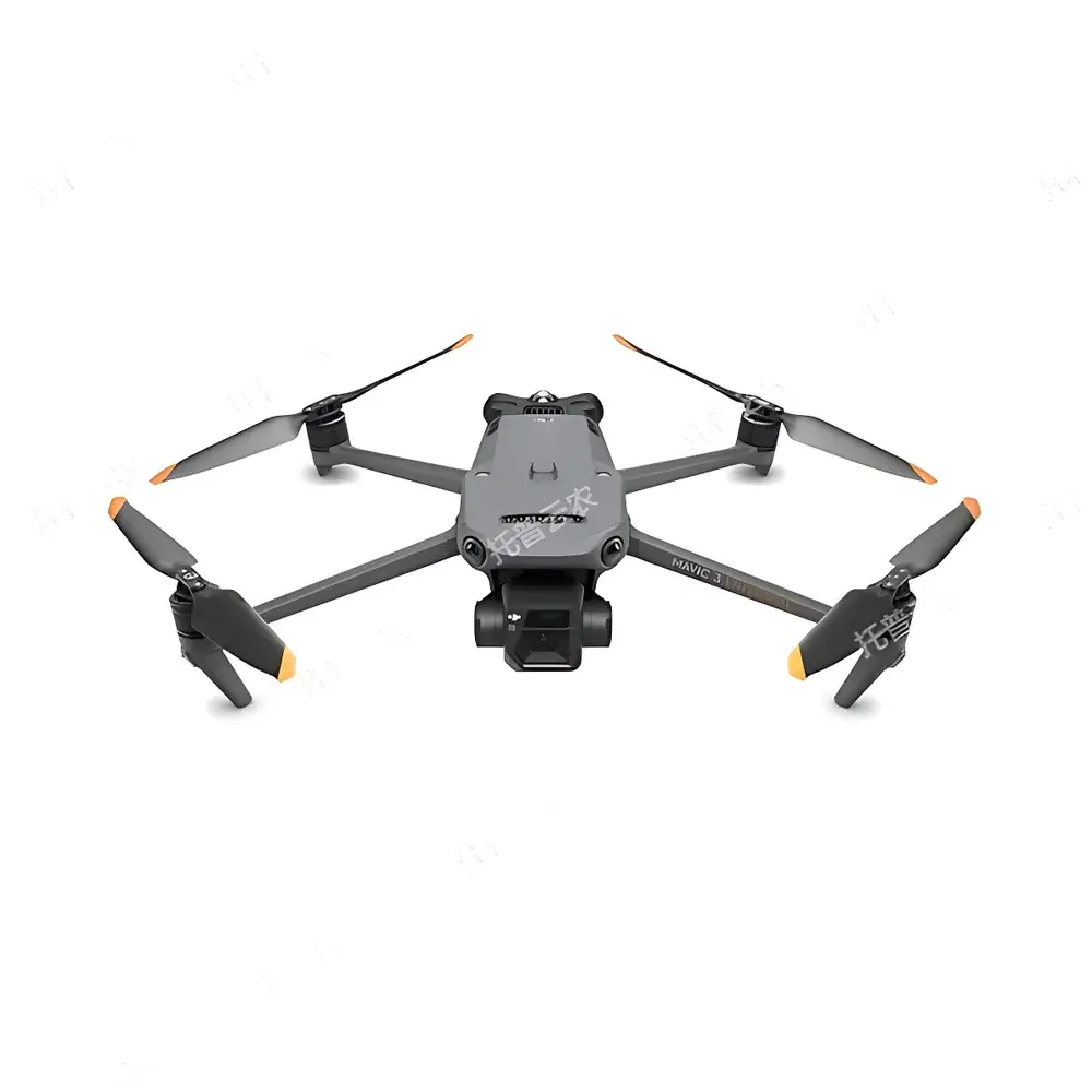
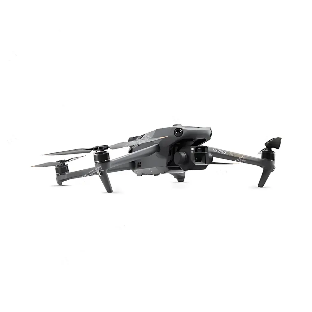
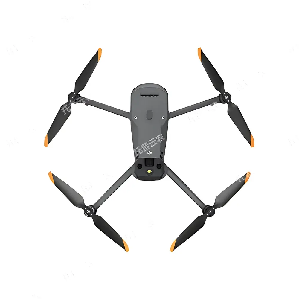
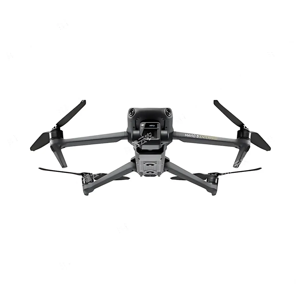
| Flight Platform | Integrated UAV with RTK Positioning |
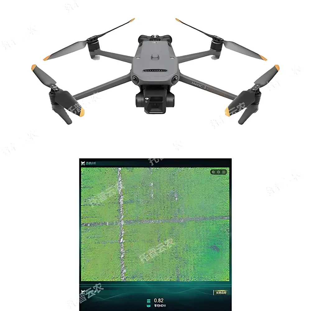
| Multispectral Sensor | 5-band (G, R, RE, NIR) CMOS imager |
| Ground Sampling Distance (GSD) | ≤2.5 cm @ 60 m AGL |
| Spectral Bandwidths | G: 560 nm ±16 nm, R: 650 nm ±16 nm, RE: 730 nm ±16 nm, NIR: 860 nm ±26 nm |
| Image Format | TIFF (multispectral), JPEG/DNG (RGB) |
| RTK Accuracy | 1 cm + 1 ppm (horizontal), 1.5 cm + 1 ppm (vertical) |
| Max Flight Time | >40 min |
| Max Operational Radius | 15 km |
| Operating Temperature | −10 °C to 40 °C |
| Max Horizontal Speed | 21 m/s |
| Max Wind Resistance | 12 m/s |
| RGB Camera | 4/3" CMOS, 20 MP, FOV 84°, 24 mm equiv. focal length |
| Multispectral Camera | 1/2.8" CMOS, 5 MP, FOV 73.91° (61.2° × 48.1°), 25 mm equiv. focal length |
| Gain Range | 1×–32× |
| Data Processing | Onboard georeferencing, orthomosaic generation, vegetation index mapping (NDVI, NDRE, GNDVI, CIred-edge, etc.), AI-driven phenotypic trait extraction |
| Software Compliance | Supports audit trail logging, user role management, and export metadata compliant with FAIR principles (Findable, Accessible, Interoperable, Reusable) |
Overview
The Top Cloud-agri TP-DGP-YM Corn Phenotyping Growth Spectral Monitoring System is a field-deployable, integrated UAV-based platform engineered for high-throughput, non-destructive acquisition and quantitative interpretation of spectral reflectance data from maize canopies. It operates on the physical principle of passive optical remote sensing—capturing reflected solar radiation across five discrete wavebands (green, red, red edge, and near-infrared)—to derive biophysically meaningful vegetation indices and morphological traits. Unlike conventional ground-based sensors or satellite imagery, this system delivers sub-decimeter spatial resolution at operational altitudes (30–100 m AGL), enabling repeatable, plot-level phenotyping under real-world agronomic conditions. Its architecture integrates photogrammetric-grade positioning (RTK-GNSS), calibrated multispectral imaging, and embedded AI inference engines—designed specifically for maize developmental staging, stress detection, and breeding trait quantification in both research and commercial farming environments.
Key Features
- Maize-Specific Phenotyping Algorithms: Pre-trained deep learning models optimized for maize morphology—including tassel detection, anther emergence timing, plant height estimation via stereo photogrammetry, lodging classification, and stand count accuracy ≥95% under variable canopy density.
- Calibrated 5-Band Multispectral Imaging: Spectrally stable CMOS sensor with factory-calibrated bandpass filters (G: 560±16 nm, R: 650±16 nm, RE: 730±16 nm, NIR: 860±26 nm), supporting calculation of 12+ peer-reviewed vegetation indices (e.g., NDVI, NDRE, CIred-edge, MCARI, OSAVI) with radiometric consistency across flights.
- RTK-Enabled Geospatial Precision: Dual-frequency GNSS module delivering centimeter-level absolute positioning (1 cm + 1 ppm horizontal, 1.5 cm + 1 ppm vertical), ensuring reproducible geo-registration of time-series datasets across growing seasons—critical for longitudinal trait analysis and QTL mapping.
- Fully Autonomous Mission Execution: Graphical flight planning interface supports polygon-based field segmentation, adaptive altitude adjustment per terrain elevation, and fail-safe return-to-home protocols compliant with ICAO Annex 2 and national UAV operation regulations (e.g., CAAC Part 91).
- Integrated Environmental Data Fusion: Native API support for synchronized ingestion of microclimate (air temperature, RH, PAR), soil moisture (VWC, EC), and canopy temperature data from third-party IoT sensors—enabling multivariate stress modeling (e.g., water use efficiency, nitrogen response curves).
- End-to-End Data Traceability: All raw images, orthomosaics, index rasters, and trait tables are stored with embedded EXIF/GPS/IMU metadata; software enforces immutable audit logs for user actions, processing parameters, and version-controlled model weights.
Sample Compatibility & Compliance
The TP-DGP-YM system is validated for use across diverse maize genotypes (dent, flint, sweet, popcorn) and growth stages—from VE (emergence) through R6 (physiological maturity). It accommodates variable planting densities (30,000–100,000 plants/ha), row spacing (0.5–1.0 m), and canopy architectures (erect vs. drooping leaf orientation). All spectral measurements adhere to ISO 17123-9:2020 (field performance testing of optical sensors) and ASTM E2937-22 (standard guide for spectral reflectance measurement of vegetation). Data export formats (GeoTIFF, CSV, Shapefile) conform to OGC GeoPackage 1.3 and comply with FAIR data principles. The platform supports GLP-aligned workflows: user authentication, electronic signatures, and 21 CFR Part 11–compliant audit trails when deployed in regulated breeding trials.
Software & Data Management
The proprietary PhenotypeCloud™ desktop and web application provides a unified interface for mission planning, image processing, trait extraction, and collaborative annotation. Core processing pipelines include: (1) radiometric calibration using onboard dark current and flat-field references; (2) bundle adjustment and dense point cloud generation via SfM (Structure-from-Motion); (3) pixel-wise vegetation index computation with atmospheric correction (DOS method); (4) instance segmentation of tassels and ears using Mask R-CNN architecture trained on >200,000 manually annotated maize images. All outputs are stored in a PostgreSQL/PostGIS backend with temporal versioning. Users may generate customizable reports (PDF, PNG, Excel) with embedded confidence intervals, statistical summaries (mean ± SD per plot), and trend visualizations (time-series line charts, heatmap overlays on GIS base maps). Role-based access control ensures data governance across multi-site trials.
Applications
- Quantitative Genetics: High-resolution phenotypic data collection for genome-wide association studies (GWAS) and genomic selection models—particularly for tassel architecture, drought-induced senescence, and nitrogen use efficiency traits.
- Breeding Program Acceleration: Automated tassel detection reduces manual emasculation labor by >70% in hybrid seed production; enables early-stage selection of male-sterile lines prior to flowering.
- Precision Crop Management: Spatially explicit maps of chlorophyll content (via NDRE), canopy water deficit (via NIR/red-edge ratio), and biomass accumulation inform variable-rate irrigation, nitrogen topdressing, and fungicide application decisions.
- Climate Resilience Research: Longitudinal monitoring of heat stress responses (canopy temperature anomalies), flood-induced hypoxia symptoms (chlorosis patterns), and pest infestation progression (spatial clustering of reflectance outliers).
- Academic Teaching & Extension: Modular curriculum modules support undergraduate instruction in remote sensing, crop physiology, and agricultural data science—complete with sample datasets, Jupyter notebooks, and API documentation.
FAQ
What spectral bands does the multispectral camera capture, and are they factory-calibrated?
Yes—the sensor captures five discrete bands (G, R, RE, NIR) with center wavelengths and FWHM certified per manufacturer calibration report. Each unit ships with a unique spectral response function (SRF) file for radiometric correction.
Can the system operate in fully autonomous mode without real-time telemetry?
Yes. Missions are preloaded onto the UAV; all navigation, image capture, and geotagging occur offline using onboard RTK-GNSS and IMU. Telemetry is required only for initial setup and post-flight data sync.
Is raw data accessible for custom algorithm development?
Absolutely. Full-resolution TIFF stacks (radiometrically corrected), DNG files, EXIF metadata, and point clouds are exported without encryption or vendor lock-in.
How is tassel detection accuracy validated across environmental conditions?
Validation was conducted across 12 locations in China’s major maize belts (Heilongjiang to Guangxi) over three growing seasons, achieving ≥92.3% precision and ≥89.7% recall under rain, dust, and partial cloud cover.
Does the software support integration with common breeding management platforms (e.g., BreedBase, FieldBook)?
Yes—via RESTful API with documented endpoints for trait upload, plot metadata synchronization, and pedigree linkage. JSON-LD schemas align with BrAPI v2.1 standards.


