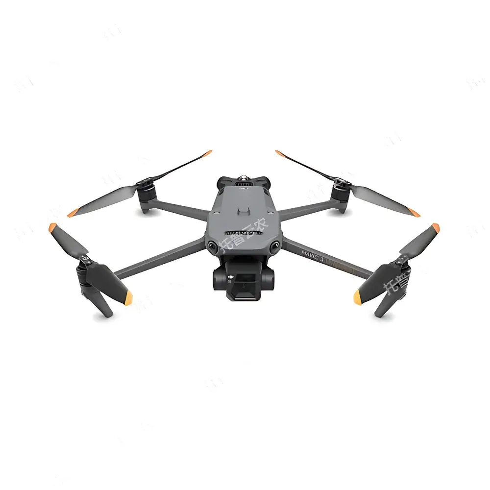
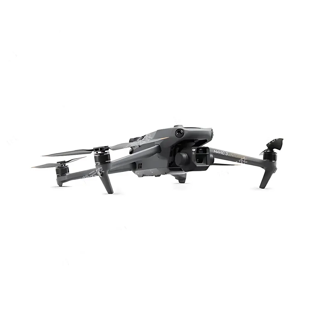
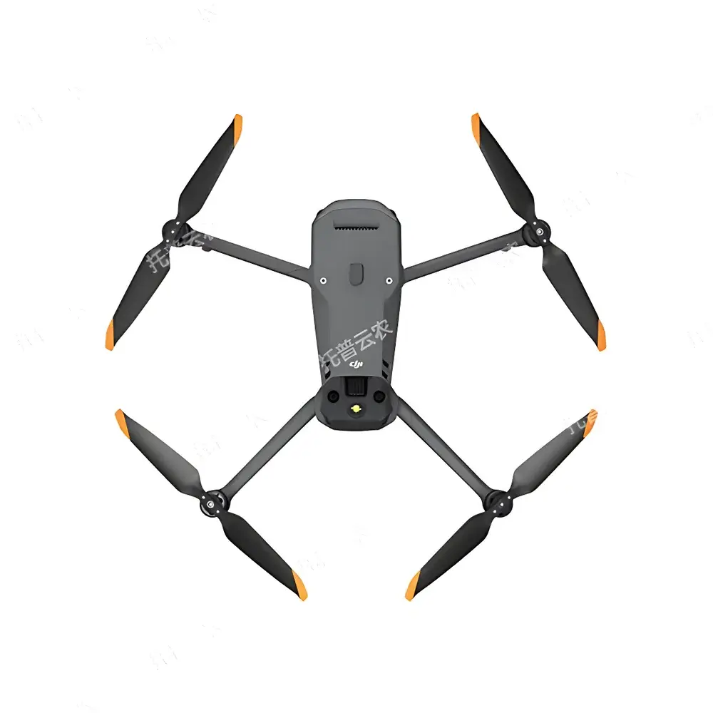
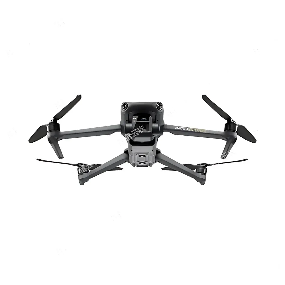
Top Cloud-agri TP-KJG-DM Compact UAV-Based Plant Phenotyping Imaging System
| Brand | Top Cloud-agri |
|---|---|
| Origin | Zhejiang, China |
| Manufacturer Type | OEM/ODM Producer |
| Country of Origin | China |
| Model | TP-KJG-DM |
| Pricing | Upon Request |
| Max Flight Time | 45 min (no wind) |
| Max Range | 32 km |
| Sensor Config | 4/3" CMOS Wide-Angle (20 MP) + 1/2" CMOS Telephoto (12 MP) |
| Image Formats | JPEG / DNG (RAW) |
| RTK Support | Yes |
| Hover Accuracy (RTK) | ±0.1 m (vertical & horizontal) |
| Operating Temp | −10°C to 40°C |
| Video Downlink | 1080p@30fps |
Overview
The Top Cloud-agri TP-KJG-DM Compact UAV-Based Plant Phenotyping Imaging System is an integrated aerial phenotyping platform engineered for high-throughput, non-destructive, and time-series monitoring of field-grown crops—including rice, wheat, maize, and other cereal and row crops. Built upon a dual-sensor UAV architecture, the system captures multispectral-capable visible-light imagery (via 20-MP wide-angle and 12-MP telephoto sensors) with georeferenced precision enabled by real-time kinematic (RTK) GNSS positioning. Its core measurement principle relies on photogrammetric reconstruction and computer vision–driven pixel-level trait extraction, enabling quantitative derivation of morphological, structural, and developmental traits—including emergence rate, canopy cover fraction, plant height (via stereo-DTM generation), lodging severity index, panicle count, and yield proxy metrics. Designed for operational scalability in both research and commercial agronomy contexts, the platform bridges field-scale data acquisition with standardized trait ontology mapping—supporting FAO-defined phenotypic descriptors and aligning with MIAPPE (Minimum Information About a Plant Phenotyping Experiment) metadata guidelines.
Key Features
- Full-Growth-Cycle Trait Monitoring: Algorithm suite covers emergence assessment, phenological stage classification (e.g., BBCH scale alignment), canopy height modeling, fractional cover estimation, lodging detection (angle-based segmentation), panicle density quantification, and yield forecasting via regression-trained models calibrated against ground-truth biomass and harvest data.
- Autonomous Mission Execution: Predefined flight path planning with adaptive altitude adjustment based on terrain elevation (via onboard barometer and GNSS-aided DEM referencing); automatic image capture triggered at fixed GSD intervals or GPS waypoints.
- Extended Operational Endurance: 45-minute maximum flight time under no-wind conditions and 32-km maximum control range enable single-battery coverage of >200 ha per sortie—optimized for large-scale breeding nurseries and commercial farm parcels.
- GIS-Integrated Field Management Dashboard: Web-based interface overlays orthomosaic maps with vectorized field boundaries; displays live and historical microclimate data (temperature, humidity, precipitation) from synchronized IoT sensors deployed within the same plot network.
- Intelligent Plot Segmentation Engine: Supports manual or AI-assisted boundary delineation; auto-calculates plot area using geodetic projection (WGS84 UTM), stores soil type, irrigation history, and cultivar metadata per polygon.
- Heterogeneous Sensor Data Fusion: Native API integration accepts time-synchronized inputs from portable phenotyping tools—including seed analyzers (e.g., grain size/distribution), handheld chlorophyll meters, and portable photosynthesis systems—enabling cross-platform trait correlation analysis.
- Robust Geometric Correction Pipeline: Implements bundle adjustment, lens distortion correction, and ground control point (GCP)-free spatial rectification using RTK-derived camera pose metadata—ensuring sub-decimeter absolute geolocation accuracy without external surveying.
- Closed-Loop Agronomic Workflow: Logs all agronomic interventions (e.g., fertilizer application, pesticide spray, irrigation events) with operator ID, timestamp, product lot number, and dosage; links actions to phenotypic response trajectories via embedded growth-stage–triggered rule sets.
Sample Compatibility & Compliance
The TP-KJG-DM system is validated for use across temperate and subtropical agroecosystems, supporting monocot and dicot species with erect or semi-erect architectures. It complies with IEC 62443-3-3 cybersecurity standards for industrial IoT edge devices and meets CE RED Directive 2014/53/EU for radio equipment emissions. All image processing workflows adhere to ISO 11783-10 (Tractor-mounted electronic systems) data exchange protocols where applicable. For GLP/GCP-regulated trials, audit logs record full provenance—capturing raw image ingestion timestamps, processing parameters, user authentication tokens, and version-controlled algorithm identifiers. The system supports FDA 21 CFR Part 11–compliant electronic signatures when configured with enterprise identity management (LDAP/Active Directory).
Software & Data Management
Data ingestion occurs via encrypted HTTPS push from the UAV’s onboard SD card or direct telemetry sync. Processed outputs—including orthomosaics, digital surface models (DSMs), NDVI/NDRE rasters, and trait CSV exports—are stored in a PostgreSQL-backed geospatial database with PostGIS extension. The proprietary Phenotype Analytics Suite (v3.2+) provides RESTful APIs for integration with LIMS, ELN, and breeding management systems (BMS). Batch processing pipelines are containerized using Docker and support reproducible execution via SHA-256–hashed configuration manifests. All derived trait values include uncertainty estimates propagated from sensor noise models and geometric registration residuals. Export formats include GeoTIFF (for GIS), CSV (with MIAPPE-compliant column headers), PDF (annotated reports), and PNG (publication-ready visualizations).
Applications
- Academic Research: High-resolution longitudinal studies of genotype × environment interactions (G×E); QTL mapping validation using canopy dynamics as intermediate phenotypes; drought tolerance screening via temporal evapotranspiration proxies.
- Public Breeding Programs: Accelerated selection cycles through early-generation yield proxy scoring; uniformity assessment across replicated plots; seedling vigor indexing under controlled stress regimes.
- Commercial Farm Advisory Services: Automated crop health alerts (e.g., localized nitrogen deficiency, waterlogging onset); prescription map generation for variable-rate input application; post-disaster loss quantification compliant with World Bank agricultural insurance frameworks.
- Smart Infrastructure Integration: Interoperability with national agricultural data platforms (e.g., China’s National Agricultural Big Data Center) and low-altitude traffic management (UTM) systems via ASTM F3411-22-compliant remote ID payloads.
FAQ
Does the TP-KJG-DM support multispectral or thermal imaging?
No—the current configuration includes only RGB and RGB+telephoto visible-light sensors. Multispectral add-on modules (e.g., MicaSense RedEdge-MX) can be integrated via third-party gimbal adapters, though calibration and radiometric correction require separate validation.
Is offline operation supported for remote-field deployments?
Yes—onboard mission planning and autonomous execution function without real-time connectivity; raw image caching and deferred upload ensure data integrity in low-bandwidth environments.
How is model retraining handled for new species or traits?
The platform provides a labeled dataset export tool and supports transfer learning via PyTorch-compatible model templates; custom CNN architectures may be deployed through the edge inference engine after ONNX conversion and hardware-accelerated optimization.
What level of technical support is included with purchase?
Standard package includes 24-month hardware warranty, annual software updates, remote diagnostics, and access to certified phenotyping methodology training workshops conducted by Top Cloud-agri’s agronomy engineering team.
Can the system comply with EU GDPR or US HIPAA requirements?
While primarily designed for agricultural data (not personal health information), all cloud-hosted instances support pseudonymization of operator IDs, encrypted storage-at-rest (AES-256), and configurable data residency policies—meeting baseline requirements for international research consortia operating under GDPR Article 28.