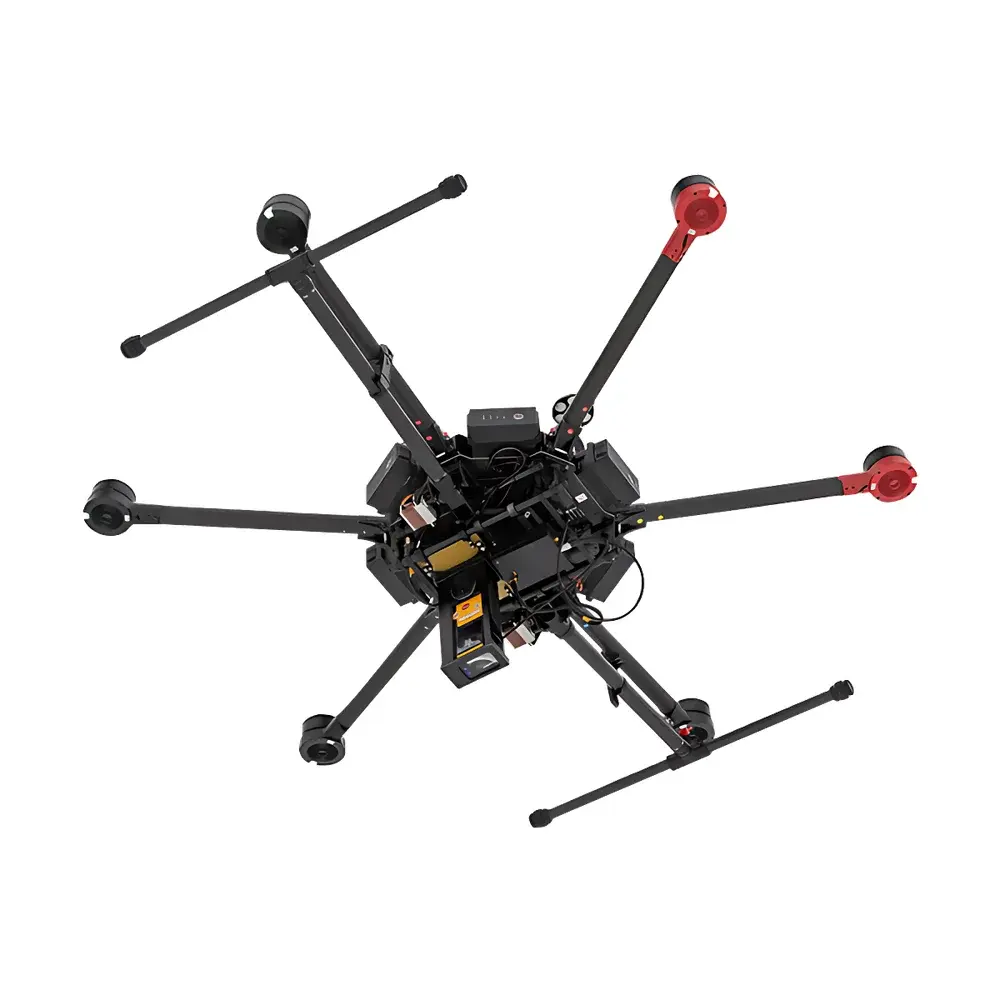
Pergam LMC-G2-DL Rotorcraft-Mounted Laser Methane Remote Sensing System
| Brand | Pergam |
|---|---|
| Origin | Switzerland |
| Manufacturer Type | Authorized Distributor |
| Import Status | Imported |
| Model | LMC-G2-DL |
| Detection Range | 30 m |
| Measurement Range | 1–50,000 ppm·m |
| Sensitivity (at 30 m) | 125 ppm·m |
| Real-Time Data Transmission | Yes |
| Onboard Data Storage | Yes |
| Integrated GPS | Yes |
| Laser Wavelength | 1.65 µm (eye-safe) |
| Dimensions | 70 × 179 × 42 mm |
| Weight | 0.53 kg (base unit), 1.0 kg (DL configuration) |
Overview
The Pergam LMC-G2-DL Rotorcraft-Mounted Laser Methane Remote Sensing System is an engineered solution for rapid, non-contact detection and quantification of methane (CH₄) plumes above natural gas infrastructure. It operates on the principle of tunable diode laser absorption spectroscopy (TDLAS) at a precisely calibrated wavelength of 1.65 µm—within the near-infrared spectral region where methane exhibits strong, unique absorption features. This eye-safe laser wavelength enables safe operation in populated or regulated airspace without requiring special laser safety permits beyond standard UAV operational compliance. Unlike point-sampling gas analyzers, the LMC-G2-DL performs path-integrated measurements along an open optical path, delivering column concentration values expressed in ppm·m (parts-per-million-meter), enabling robust leak magnitude estimation when combined with wind speed and plume geometry data. Designed specifically for integration with rotary-wing unmanned aerial vehicles—including DJI Matrice 600, M210, and M300 platforms—the system supports both autonomous flight-based surveys and manual pilot-directed inspection workflows.
Key Features
- Eye-safe 1.65 µm distributed feedback (DFB) laser source compliant with IEC 60825-1 Class 1 requirements
- Real-time methane column density measurement with 1–50,000 ppm·m dynamic range and 125 ppm·m sensitivity at 30 m standoff distance
- Dual-mode operation: fully integrated airborne mode (via UgCS autopilot software) and portable handheld mode for ground verification or static site assessment
- Onboard high-precision GPS module (±1.5 m CEP, SBAS-enhanced) synchronized with laser measurement timestamps for georeferenced leak localization
- Embedded microSD storage (up to 128 GB) with timestamped binary and CSV export formats supporting post-flight analysis and regulatory reporting
- Compact, ruggedized housing (70 × 179 × 42 mm; 0.53 kg base weight) rated IP54 for operation in variable field conditions including light rain and dust exposure
- Low-power consumption (35 min typical mission time)
Sample Compatibility & Compliance
The LMC-G2-DL is designed for ambient air sampling only—no sample conditioning, pumping, or pre-concentration is required. Its open-path TDLAS architecture ensures immunity to sensor poisoning, drift, or cross-sensitivity from common interferents such as CO₂, H₂O vapor (within typical atmospheric humidity ranges), or non-methane hydrocarbons (NMHCs). The system complies with ISO 13864:2019 (occupational health and safety standards for optical radiation devices) and meets CE marking requirements under the EU Electromagnetic Compatibility Directive 2014/30/EU and Radio Equipment Directive 2014/53/EU. While not certified under EPA Method 21 or OGI (Optical Gas Imaging) standards per se, its measurement methodology aligns with the physical principles referenced in ASTM D7977-20 (Standard Practice for Determination of Methane Emissions Using Mobile Platforms) and supports data collection protocols suitable for Tier 2 and Tier 3 reporting under the U.S. EPA Greenhouse Gas Reporting Program (GHGRP) Subpart W.
Software & Data Management
Data acquisition and telemetry are managed through native integration with UgCS (Universal Ground Control Station) software, enabling real-time downlink of methane concentration profiles, GPS coordinates, altitude, heading, and system health telemetry directly to the ground control station. All raw spectra and processed ppm·m values are stored onboard with millisecond-level timestamp resolution. Post-mission analysis is supported via Pergam’s proprietary LMC-Analyzer desktop application (Windows 10/11), which provides tools for spatial interpolation, plume centroid mapping, background subtraction, and automated leak flagging based on configurable thresholds. Export options include GeoJSON, KML, CSV, and PDF report generation with embedded metadata traceable to NIST-traceable calibration certificates. Audit trails, user access logs, and electronic signatures are implemented in accordance with FDA 21 CFR Part 11 guidelines for regulated environments requiring data integrity assurance.
Applications
- Aerial survey of natural gas transmission pipelines, compressor stations, and metering/regulator facilities
- Routine leak detection and repair (LDAR) program support for utilities operating under state or federal methane regulations
<liPre-commissioning and post-construction integrity verification of new pipeline sections or LNG terminal infrastructure
<liEmergency response monitoring following seismic events, third-party excavation damage, or suspected sabotage incidents
<liAcademic and governmental research into fugitive emission flux modeling and atmospheric dispersion validation
<liCross-platform deployment on manned helicopters, fixed-wing UAVs, or tripod-mounted stationary configurations using optional gimbal adapters
FAQ
Is the LMC-G2-DL certified for use in ATEX or IECEx hazardous areas?
No—the system is not intrinsically safe certified. It is intended for use in non-hazardous zones during overflight operations only. Direct deployment inside classified hazardous locations requires additional explosion-proof enclosures not supplied by Pergam.
Does the system require annual factory recalibration?
Yes. Pergam recommends annual traceable recalibration against certified methane reference cells (NIST-traceable) to maintain measurement fidelity. Calibration reports include uncertainty budgets per ISO/IEC 17025:2017.
Can the LMC-G2-DL detect ethane or other hydrocarbons?
No. It is spectrally optimized exclusively for methane. Ethane and other NMHCs do not interfere with the 1.65 µm absorption line, ensuring high selectivity.
What is the minimum detectable leak rate under typical field conditions?
At 30 m standoff and 2 m/s wind speed, the system reliably detects leaks ≥5 g/hr (methane mass flow), assuming laminar plume geometry and no significant atmospheric turbulence.
Is UgCS software included with the system?
UgCS Pro license is bundled with each LMC-G2-DL unit, including UAV mission planning, real-time telemetry overlay, and basic GIS visualization modules. Advanced analytics modules require separate subscription.
Related Products


