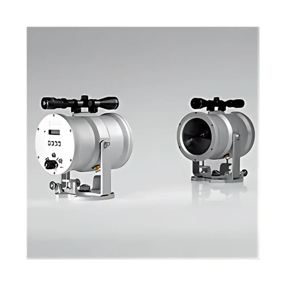
LAS MkII ET System
| Brand | Kipp & Zonen |
|---|---|
| Origin | Netherlands |
| Model | LAS MkII ET |
| Measurement Principle | Optical Scintillometry (Large-Aperture Scintillometer) |
| Core Outputs | Latent Heat Flux (LvE), Evapotranspiration (ET), Sensible Heat Flux (H), Path-Averaged Turbulent Fluxes |
| Data Logger | COMBILOG (12 VDC, IP65 Stainless Steel Enclosure with Overvoltage Protection) |
| Radiation Sensor | NR Lite2 Net Radiometer |
| Meteorological Sensors | Dual-Height Air Temperature, Dual-Depth Soil Temperature, Anemometer & Wind Vane, Barometric Pressure Sensor |
| Mounting Mast | 4 m Telescopic Guyed Mast with Lightning Rod, Ground Plate, and Sensor Mounting Hardware |
| Software | EVATION® (Real-Time Monitoring, Post-Processing, CSV/NetCDF Export, Multi-Source Data Integration) |
| Compliance | Designed for Long-Term Field Deployment per IEC 60529 (IP65), ASTM E1371 (Scintillometer Performance), ISO 20607 (Micrometeorological Flux Measurements), GLP-Ready Data Logging Architecture |
Overview
The LAS MkII ET System is a field-deployable, path-integrated micrometeorological monitoring platform engineered for continuous, high-temporal-resolution quantification of surface energy balance components—specifically latent heat flux (LvE), sensible heat flux (H), and evapotranspiration (ET)—across heterogeneous landscapes. At its core lies the LAS MkII large-aperture scintillometer, which operates on the principle of optical scintillation: it measures the refractive index structure parameter (Cn²) of turbulent air by analyzing intensity fluctuations of a collimated near-infrared beam (850 nm) over path lengths ranging from 100 m to 4.5 km. Coupled with concurrent measurements of net radiation, air temperature gradients, wind speed/direction, barometric pressure, and soil thermal properties, the system solves the surface energy balance equation (Rn = H + LvE + G) using established similarity theory (e.g., Monin–Obukhov similarity) and validated scintillometric inversion models (e.g., the “K-G” method). This enables robust, calibration-free estimation of ET without reliance on local stomatal or soil hydraulic parameters—making it especially suitable for agricultural water management, watershed-scale hydrological modeling, and climate validation studies.
Key Features
- Optically stable LAS MkII scintillometer with integrated alignment aid, temperature-compensated detector, and low-power (<12 W) operation for solar-battery deployments
- COMBILOG data logger housed in an IP65-rated stainless steel enclosure, featuring galvanic isolation, surge protection on all analog inputs, and internal watchdog timer for unattended operation
- NR Lite2 net radiometer compliant with ISO 9060:2018 (Spectrally Flat Class C), measuring shortwave (0.3–3 µm) and longwave (4–50 µm) radiation with thermopile-based detection and built-in ventilation
- Telescopic 4 m mast system with pre-drilled mounting brackets, guy-wire anchors, grounding plate, and integrated lightning rod meeting IEC 62305-3 requirements
- Dual-height (0.5 m and 2.0 m) Pt100 air temperature sensors and dual-depth (0.05 m and 0.20 m) soil temperature probes with shielded twisted-pair cabling and thermal mass compensation
- EVATION® software suite supporting real-time telemetry via RS-232/RS-485, time-synchronized data ingestion from external loggers (e.g., Campbell Scientific CR1000X), automated gap-filling using flux footprint modeling, and export to CF-compliant NetCDF or FAO-56-ready CSV formats
Sample Compatibility & Compliance
The LAS MkII ET System is designed for deployment across agroecosystems, grasslands, forest edges, and semi-arid rangelands where spatial heterogeneity limits point-based eddy covariance applicability. Its path-averaged measurement domain (typically 100–1000 m) ensures representativeness over mixed land cover units. All sensors comply with international standards for environmental monitoring: NR Lite2 conforms to ISO 9060:2018 Class C spectral response; COMBILOG logging firmware supports audit-trail-enabled data integrity per FDA 21 CFR Part 11 Annex 11 when configured with timestamped digital signatures; and raw scintillometer output meets the traceability framework outlined in ASTM E1371–18 for scintillometric flux estimation. The system architecture supports GLP/GMP-aligned workflows through configurable metadata tagging, user-access-controlled data archives, and version-locked processing scripts within EVATION®.
Software & Data Management
EVATION® serves as the central hub for instrument control, quality assurance, and scientific analysis. It provides live visualization of Cn², σI², and derived fluxes with configurable alarm thresholds (e.g., signal-to-noise ratio < 10 dB triggers diagnostic flag). Raw data are stored locally on COMBILOG’s microSD card (up to 32 GB) with cyclic overwrite protection. Remote access is enabled via optional GSM modem (SIM-card agnostic), supporting SMS-based status queries and TCP/IP data push to FTP or MQTT brokers. Post-processing includes automatic coordinate transformation of wind vectors, MO-length calculation, flux footprint modeling (using Kljun et al. 2015 algorithm), and uncertainty propagation based on sensor-specific error budgets (e.g., ±0.05 K for Pt100, ±2% full scale for NR Lite2). All processing steps are scriptable and reproducible via EVATION®’s Python API extension.
Applications
- Irrigation scheduling and water use efficiency assessment in precision agriculture (FAO AQUACROP integration supported)
- Validation of satellite-derived ET products (e.g., MOD16A2, SSEBop) at landscape scale
- Boundary-layer turbulence characterization for mesoscale model initialization (WRF, COSMO)
- Long-term ecological research (LTER) sites requiring multi-year, low-maintenance flux records
- Carbon-water coupling studies where ET constrains gross primary production (GPP) partitioning
- Regulatory compliance monitoring for water abstraction licensing under EU Water Framework Directive reporting protocols
FAQ
What is the minimum and maximum effective path length for reliable scintillometer operation?
The LAS MkII is optimized for paths between 100 m and 4.5 km. Below 100 m, beam saturation and near-field turbulence dominate; above 4.5 km, atmospheric extinction and beam wander reduce signal fidelity. Optimal performance occurs at 500–2000 m under typical continental conditions.
Can the system operate autonomously for extended periods without maintenance?
Yes. With a 50 Ah deep-cycle battery and 40 W solar panel, the full system achieves >12 months of continuous operation in mid-latitude climates. COMBILOG’s low-power sleep mode (<1 mA) and LAS MkII’s duty-cycled transmitter extend runtime significantly.
Is EVATION® compatible with third-party data acquisition hardware?
Yes. EVATION® accepts ASCII-formatted serial input and imports CSV, Excel, and binary files from Campbell Scientific, Delta-T, and Onset HOBO platforms. Timestamp alignment is performed using UTC-synced GPS time stamps embedded in incoming data streams.
How is data traceability ensured for regulatory submissions?
COMBILOG logs all configuration changes, sensor calibrations, and firmware updates with cryptographic hash signatures. EVATION® generates ISO 17025-aligned calibration reports and supports electronic signatures per 21 CFR Part 11 when deployed on Windows domain-joined machines with Active Directory authentication.
Related Products