Specim AFX Series Airborne Hyperspectral Imaging System
| Brand | Yellowscan |
|---|---|
| Origin | Finland |
| Manufacturer Type | Authorized Distributor |
| Origin Category | Imported |
| Model | AFX Series |
| Pricing | Upon Request |
Overview
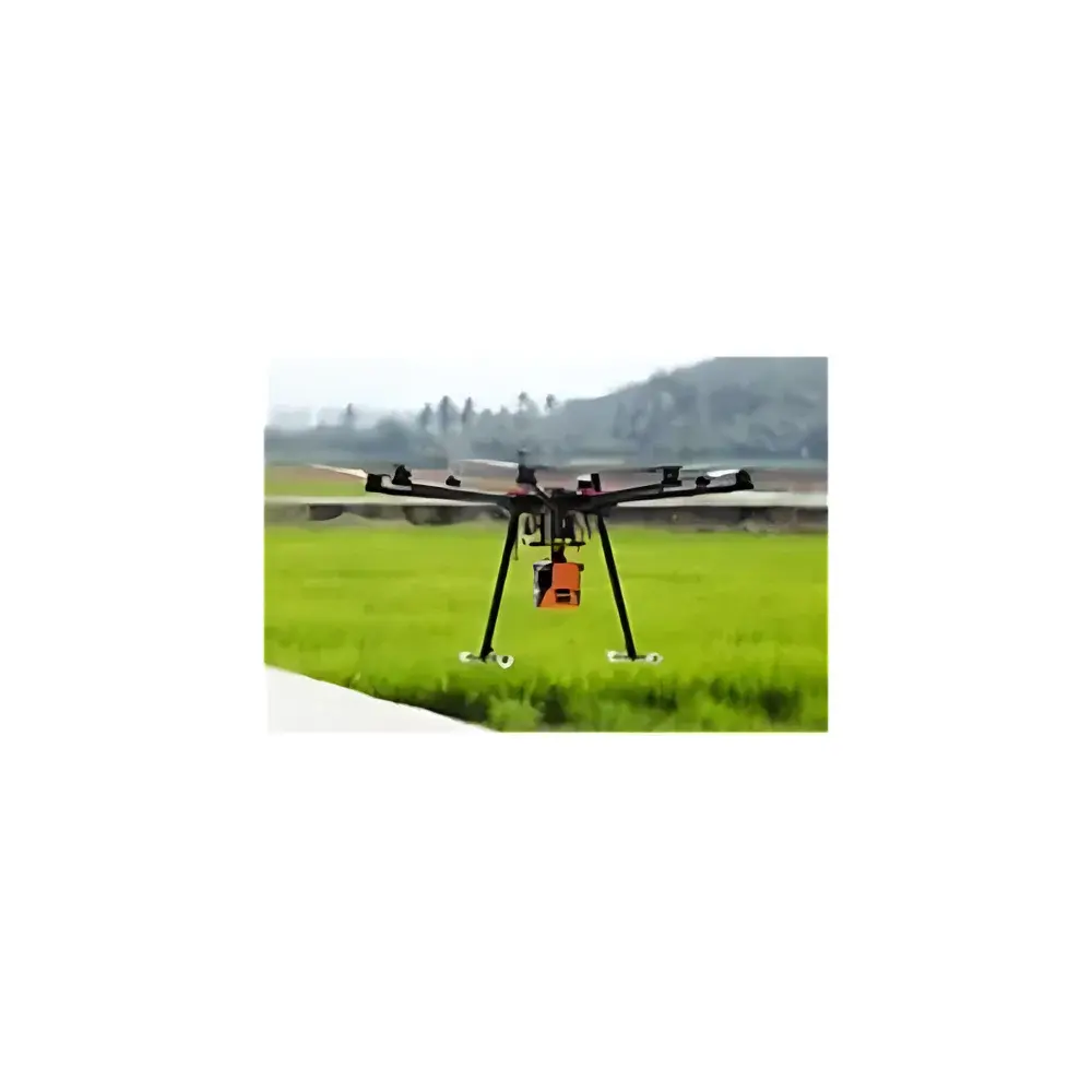
The Specim AFX Series Airborne Hyperspectral Imaging System is a purpose-engineered, turnkey solution for unmanned aerial vehicle (UAV)-based remote sensing applications. Built on Specim’s proven line-scan hyperspectral technology and integrated with high-fidelity GNSS/IMU positioning, the AFX platform delivers radiometrically calibrated, georeferenced hyperspectral data across two complementary spectral ranges: 400–1000 nm (AFX10, VNIR) and 900–1700 nm (AFX17, SWIR). Its operational principle relies on push-broom imaging—where spectral dispersion is achieved via a transmissive grating and spatial sampling occurs along the flight direction—ensuring high signal-to-noise ratio (SNR), minimal spectral smile and keystone distortion, and robust geometric stability under dynamic UAV motion. Designed for low-altitude (<150 m AGL) survey missions, the system supports direct georeferencing without ground control points (GCPs), enabling rapid deployment in precision agriculture, forest inventory, environmental monitoring, mineral exploration, and pollution assessment workflows.
Key Features
- Integrated airborne architecture: Combines a high-throughput VNIR or SWIR hyperspectral imager, embedded real-time processing unit (with Web UI interface), and Trimble APX-15 GNSS/IMU module in a single compact housing (131 × 152 × 202 mm)
- Lightweight design: Total mass of 2.1 kg (AFX10) or 2.4 kg (AFX17), compatible with multirotor and fixed-wing UAVs—with or without gimbals
- Optimized optical performance: Pre-characterized lens distortion model provided for rigorous orthorectification; reduced spectral curvature and chromatic aberration via precision optical alignment
- Flexible spectral acquisition: User-definable Regions of Interest (ROI) allow dynamic selection of spectral bands during acquisition or post-processing, reducing data volume while preserving application-specific information
- Automated mission execution: Supports waypoint-based autonomous data capture synchronized with GNSS timestamps and IMU attitude data
- Onboard data handling: 512 GB SSD storage, Gigabit Ethernet interface, 10–30 VDC input, and thermal management engineered for sustained operation in variable ambient conditions
Sample Compatibility & Compliance
The AFX Series is optimized for reflective surface imaging of vegetation canopies, soil, water bodies, geological outcrops, and anthropogenic materials. It complies with standard radiometric calibration protocols traceable to NIST-certified reference panels and supports ISO 17025-aligned field validation procedures. Data products—including Level 1B (radiance-corrected, geotagged hypercubes) and Level 2A (surface reflectance maps)—are structured according to the HDF5 format and conform to OGC SensorML metadata conventions. The system’s GNSS/IMU configuration meets requirements for photogrammetric-grade direct georeferencing per ASPRS Positional Accuracy Standards for Digital Orthoimagery, and its time-synchronized architecture supports audit-ready logging for GLP-compliant environmental monitoring programs.
Software & Data Management
The embedded Web UI enables configuration, real-time telemetry monitoring, and basic previewing without external software dependencies. Raw data are exported in ENVI-compatible .hdr/.raw format with full metadata embedding (wavelengths, FWHM, GPS timestamps, roll/pitch/yaw, exposure settings). Post-processing leverages Specim’s INSIGHT software suite for radiometric correction, atmospheric compensation (using QUAC or FLAASH models), spectral unmixing, and classification (e.g., SVM, Random Forest). Integration with third-party GIS platforms (QGIS, ArcGIS Pro) and Python-based analysis pipelines (via spectral, scikit-learn, and rasterio libraries) is fully supported. All firmware updates and calibration files are distributed through Specim’s secure customer portal, with version-controlled changelogs aligned to ISO 9001 documentation practices.
Applications
- Precision agriculture: Crop health assessment (NDVI, PRI, MCARI), nutrient deficiency mapping, yield prediction, and irrigation optimization
- Forestry: Species classification, canopy chlorophyll estimation, biomass quantification, and post-fire regeneration monitoring
- Environmental science: Wetland delineation, invasive species detection, water quality parameters (chlorophyll-a, CDOM, turbidity), and heavy metal contamination screening in soils
- Geoscience: Lithological mapping, alteration mineral identification (e.g., clays, carbonates, sulfates), and structural lineament extraction
- Regulatory compliance: EPA Tier 2 site characterization, EU Habitats Directive habitat mapping, and national forest inventory reporting frameworks
FAQ
What spectral calibration standards are applied during factory calibration?
Factory calibration includes wavelength accuracy verification against Hg-Ar lamp lines and radiometric calibration using NIST-traceable integrating sphere sources at multiple irradiance levels.
Is the system compatible with RTK-enabled drones beyond Ecodrone platforms?
Yes—the AFX interfaces with any UAV supporting PPS-synced GNSS output and Ethernet-based command/control; integration with DJI Matrice 300 RTK and senseFly eBee X has been validated.
Can raw data be processed without Specim INSIGHT software?
Yes—open-format data (HDF5, ENVI) and documented metadata enable custom processing in MATLAB, Python, or ENVI Classic using publicly available spectral libraries (USGS, ECOSTRESS, SPECCHIO).
What level of positional accuracy can be expected in direct georeferencing mode?
With Trimble APX-15 and post-processed kinematic (PPK) corrections, horizontal accuracy is typically 2–5 cm RMS, meeting ASPRS Class I orthoimagery specifications.
How is thermal drift managed during extended flights?
The optical bench employs passive thermal stabilization with low-expansion materials and real-time dark-frame subtraction; internal temperature is logged continuously for radiometric correction traceability.