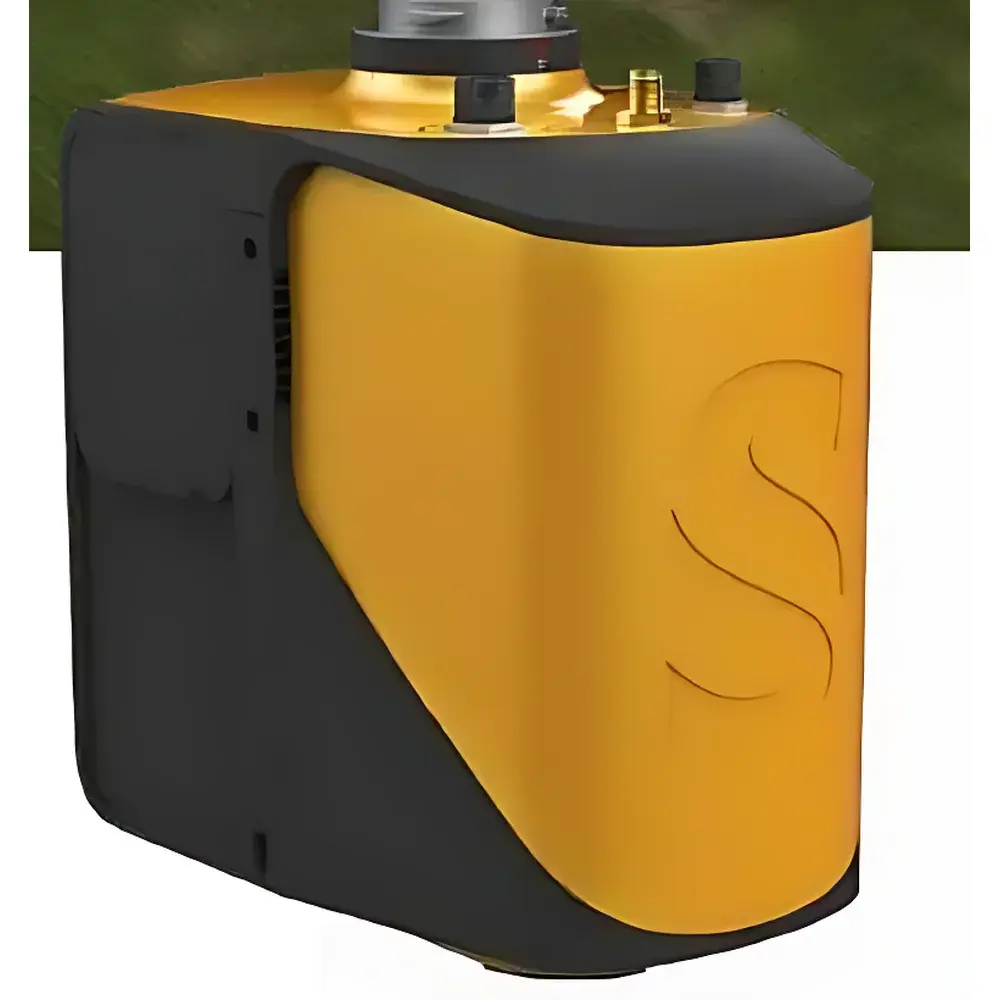
YellowScan Mapper UAV-Mounted LiDAR System
| Origin | Beijing, China |
|---|---|
| Manufacturer Type | Distributor |
| Origin Category | Domestic |
| Model | YellowScan Mapper |
| Pricing | Upon Request |
Overview
The YellowScan Mapper is a turnkey, UAV-integrated Light Detection and Ranging (LiDAR) system engineered for high-precision, medium-range topographic and structural mapping in ecological and environmental remote sensing applications. Based on time-of-flight (ToF) pulsed laser measurement principles, the system emits near-infrared laser pulses (typically 905 nm) and records return signals to generate georeferenced 3D point clouds with centimeter-level relative accuracy and sub-decimeter absolute accuracy when coupled with RTK/PPK GNSS positioning. Its compact, lightweight design (< 1.2 kg) enables seamless integration onto Class I–III professional UAV platforms—including the Ecodrone® series—without compromising flight endurance or payload stability. Unlike legacy airborne LiDAR systems requiring complex integration or post-mission ground control point (GCP) dependency, the Mapper embeds synchronized IMU/GNSS data acquisition and onboard real-time kinematic (RTK) or post-processed kinematic (PPK) support, enabling robust direct georeferencing under variable GNSS conditions.
Key Features
- Integrated ToF LiDAR sensor with 905 nm wavelength and ≥ 300 kHz pulse repetition frequency
- Medium-range operational envelope: effective scanning distance up to 300 m (depending on target reflectivity and ambient light)
- High point cloud density: configurable up to 1.2 million points per second (Mpps), supporting dense canopy penetration and fine-scale surface reconstruction
- Embedded high-grade MEMS-based inertial measurement unit (IMU) co-aligned with laser axis for precise trajectory modeling
- Onboard GNSS receiver compatible with GPS, GLONASS, Galileo, and BeiDou constellations; supports RTK/PPK workflows for cm-level positional accuracy
- IP65-rated enclosure for reliable operation in field environments including light rain, dust, and temperature fluctuations (−10 °C to +50 °C)
- Plug-and-play interface via Ethernet or CAN bus; firmware-upgradable architecture for future sensor fusion capabilities
Sample Compatibility & Compliance
The YellowScan Mapper is validated for deployment across heterogeneous natural and anthropogenic surfaces—including forest canopies, agricultural fields, bare soil, rock outcrops, power line corridors, and archaeological earthworks. Its scanning geometry (±30° horizontal FOV, ±15° vertical FOV) and adjustable scan rate ensure adaptability to varying terrain complexity and mission objectives. The system complies with international electromagnetic compatibility (EMC) standards IEC 61000-6-3 and IEC 61000-6-4, and meets CE marking requirements for UAV-borne instrumentation. Data output formats (LAS/LAZ, E57, ASCII XYZ) conform to ASPRS LiDAR data exchange standards and are interoperable with industry-standard GIS and photogrammetry software suites (e.g., ArcGIS Pro, QGIS, CloudCompare, TerraSolid). For regulated environmental monitoring applications, raw and processed datasets maintain full traceability metadata—including timestamp, GNSS solution status, IMU covariance, and laser calibration coefficients—supporting GLP-compliant documentation and audit readiness.
Software & Data Management
Data acquisition is managed through YellowScan’s proprietary YellowScan Studio software, which provides real-time telemetry monitoring, mission planning with dynamic ROI definition, and immediate preview of point cloud density and coverage. Post-processing leverages both YellowScan’s GeoFit module (for rigorous boresight calibration and trajectory refinement) and third-party tools such as Pix4Dmapper and LAStools. All processing workflows preserve full audit trails: every transformation step, parameter adjustment, and export action is logged with user ID, timestamp, and version-stamped configuration files. When deployed within FDA-regulated or ISO 17025-accredited laboratories, the system supports optional integration with secure, role-based data management platforms that enforce 21 CFR Part 11-compliant electronic signatures, access controls, and immutable audit logs.
Applications
- Forest structure analysis: canopy height modeling (CHM), biomass estimation, and understory vegetation detection
- Agricultural phenotyping: crop height mapping, row spacing validation, and lodging assessment
- Environmental change monitoring: erosion quantification, landslide deformation tracking, and wetland boundary delineation
- Mining and quarry volumetric reporting: stockpile measurement, pit floor modeling, and compliance verification against permit boundaries
- Cultural heritage documentation: high-resolution digital elevation models (DEMs) of archaeological sites and historic structures
- Utility infrastructure inspection: corridor clearance analysis, tower settlement detection, and conductor sag evaluation
- Topographic surveying for engineering design: orthomosaic generation, contour derivation, and cut-fill calculation
FAQ
What UAV platforms is the YellowScan Mapper certified for?
The system is mechanically and electrically compatible with multirotor and fixed-wing UAVs rated for ≥ 1.5 kg payload; it has been factory-validated on Ecodrone® UAS platforms (e.g., Ecodrone® UAS-8, UAS-12) and DJI Matrice 300 RTK.
Does the Mapper require ground control points (GCPs)?
No—when operated with PPK or RTK GNSS correction, the system achieves direct georeferencing without GCPs; however, GCPs may be used optionally to refine absolute vertical accuracy in GNSS-challenged areas.
Is the laser Class 1 eye-safe?
Yes—the 905 nm laser emitter operates within Class 1 safety limits per IEC 60825-1:2014 under all normal operating conditions, including maximum pulse energy and divergence.
Can the Mapper be used for bathymetric surveys?
No—it is designed for terrestrial and aerial topographic mapping only; water penetration capability is not supported due to wavelength and optical design constraints.
What is the typical data throughput and storage requirement per flight hour?
At maximum point density (1.2 Mpps), raw binary data volume averages 8–12 GB/hour; compressed LAS/LAZ exports typically range from 1.5–3.5 GB/hour depending on compression level and coordinate precision settings.
Related Products


