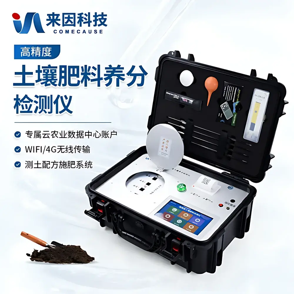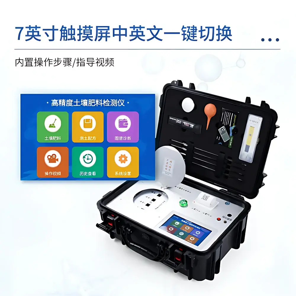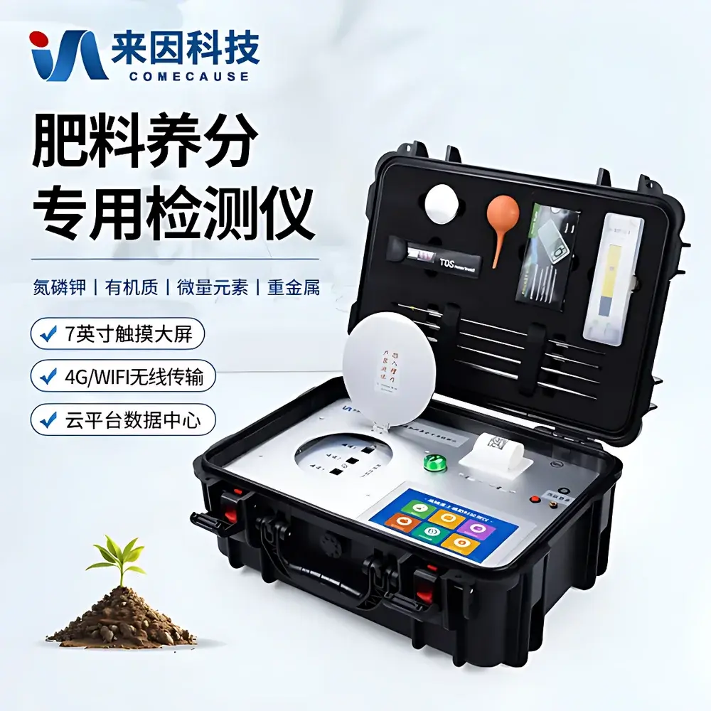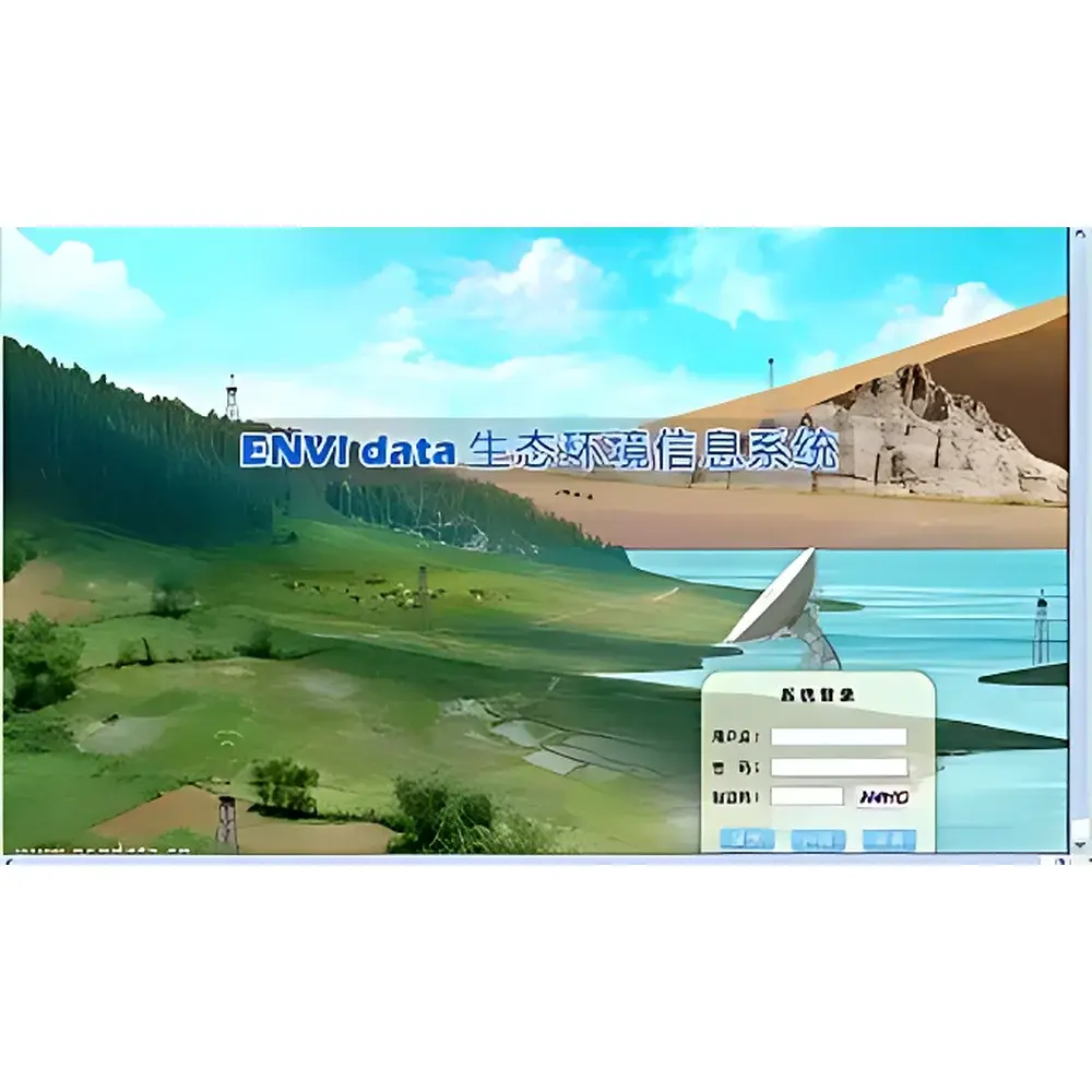
ENVIdata Grass Evapotranspiration Monitoring System
| Origin | Beijing, China |
|---|---|
| Manufacturer Type | Authorized Distributor |
| Origin Category | Domestic (China) |
| Model | ENVIdata |
| Pricing | Available Upon Request |
Overview
The ENVIdata Grass Evapotranspiration Monitoring System is a field-deployable, solar-powered environmental observation platform engineered for continuous, high-fidelity measurement of grassland evapotranspiration (ET) under natural conditions. It implements the Penman-Monteith-based reference evapotranspiration (ETo) and crop-specific evapotranspiration (ETc) methodology in accordance with FAO-56 guidelines, integrating direct physical simulation (via precision evaporation pans) with real-time biophysical sensing—including canopy temperature, soil volumetric water content (VWC), precipitation, and micro-meteorological parameters. The system operates on a distributed architecture: autonomous field stations acquire and preprocess sensor data locally, then transmit time-synchronized measurements via GPRS or satellite telemetry to a centralized ENVIdata server. This push-based communication protocol eliminates reliance on legacy dial-up modems, delivering improved transmission reliability, lower operational cost, and reduced latency—critical for irrigation scheduling, drought response, and ecological water balance modeling.
Key Features
- Solar-rechargeable power system with internal lithium battery supporting ≥20 days of continuous operation during overcast conditions
- DT80-series data logger featuring 18-bit A/D conversion (±0.025% accuracy), 16 MB onboard memory (1.8 million data points), and programmable sampling intervals from 10 ms to 24 h
- Multi-parameter sensor suite: dual TRIME-PICO dielectric soil moisture probes (PICO64 & PICO32), infrared canopy temperature sensor (±0.2 °C accuracy in -10–65 °C range), calibrated evaporation simulators for ETo (tall fescue #30), ETc (alfalfa #54), and crop canopy (G2 standard), plus tipping-bucket rain gauge
- GPRS-enabled remote data transmission with configurable reporting intervals (minute-, hourly-, or daily-level granularity)
- Web-accessible ENVIdata server software supporting simultaneous ingestion from up to 1,000 field stations; includes audit-trail logging, user role management, and TLS-secured HTTPS access
- Configurable threshold-based alerting via email or SMS; automated report generation and scheduled export to third-party analytics platforms (e.g., R, Python, or commercial hydrological models)
Sample Compatibility & Compliance
The system is validated for deployment across heterogeneous grassland ecosystems—including pasturelands, sports turf (golf courses, football fields), rangelands, and agro-ecological research plots. Sensor calibration adheres to ISO 11272:2017 (soil physical properties) and ASTM D5921-18 (field measurement of soil moisture). The evaporation simulator conforms to ASCE-EWRI standards for standardized evapotranspiration measurement. All hardware components meet IP68 ingress protection rating; the DT80 logger and TRIME probes operate within -40 °C to +70 °C ambient temperature range and 0–100% RH (non-condensing). Software architecture supports GLP-compliant data integrity: full traceability of instrument configuration changes, user login history, and raw-to-derived value transformations is maintained in the relational database backend.
Software & Data Management
The ENVIdata server application is deployable either on-premises (Windows/Linux) or as a managed cloud service hosted on ISO/IEC 27001-certified infrastructure. It employs PostgreSQL for ACID-compliant storage and provides RESTful API endpoints for integration with enterprise GIS, SCADA, or irrigation control systems. Each data record is stamped with GPS-derived location metadata, precise UTC timestamp (synchronized via NTP), and sensor-specific calibration coefficients. Audit logs capture all user-initiated actions—including alarm rule edits, report exports, and configuration updates—in alignment with FDA 21 CFR Part 11 requirements for electronic records and signatures. Raw binary sensor outputs are preserved alongside processed values (e.g., ETo calculated per FAO-56), enabling retrospective recalibration and uncertainty propagation analysis.
Applications
- Precision irrigation scheduling for turfgrass and forage production systems
- Validation of satellite-based ET products (e.g., MOD16, SSEBop) at field scale
- Long-term monitoring of ecohydrological feedbacks in semi-arid grasslands
- Calibration and ground-truthing of land surface models (LSMs) in regional climate simulations
- Regulatory compliance reporting for water use permits and sustainable agriculture certifications (e.g., USDA NRCS EQIP)
- Real-time drought index computation (e.g., Standardized Precipitation Evapotranspiration Index – SPEI)
FAQ
What communication protocols does the field station support?
GPRS (default), with optional Iridium or Inmarsat satellite modules for remote/off-grid deployments.
Can the system calculate reference evapotranspiration without external weather data?
Yes—the integrated evaporation simulators provide direct ETo measurement; however, FAO-56 ETo calculation requires concurrent air temperature, humidity, wind speed, and solar radiation inputs (optional sensors available).
Is soil salinity compensation supported for TRIME-PICO probes?
Yes—three conductivity ranges (0–6, 6–12, 12–50 dS/m) are factory-calibrated; custom soil-specific calibrations can be uploaded via ENVIdata software.
How is data security ensured during wireless transmission?
All GPRS transmissions use TLS 1.2 encryption; server-side authentication enforces strong password policies and session timeouts.
Does the system comply with EU GDPR or US HIPAA requirements?
While not healthcare- or personally identifiable data-focused, the architecture supports anonymization, data residency controls, and deletion workflows required under GDPR Article 17.