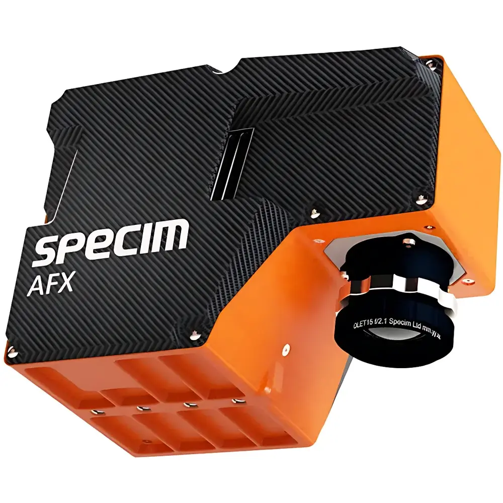
Specim AFX Series Airborne Hyperspectral Imaging System
| Brand | SPECIM |
|---|---|
| Origin | Finland |
| Model | AFX10 / AFX17 |
| Spectral Range | 400–1000 nm (AFX10) / 900–1700 nm (AFX17) |
| Spectral Sampling | 2.68 nm / 3.5 nm |
| Spectral Resolution | 5.5 nm / 8.0 nm |
| FOV | 38° |
| f-number | 1.7 |
| Spatial Pixels | 1024 × 1 (AFX10) / 640 × 1 (AFX17) |
| Spectral Bands | 224 (with binning ×2) |
| Spectral Binning Options | 2,4,8 (AFX10) / 1,2,4,8 (AFX17) |
| Spatial Binning | 1,2 (AFX10) |
| Frame Rate | 330 fps (AFX10) / 670 fps (AFX17) |
| Dynamic Range | 1420 / 3400 |
| SNR | 400:1 / 1200:1 |
| Input Voltage | 10–30 VDC |
| Power Consumption | 17 W / 24 W |
| Operating Temperature | +5 to +40 °C |
| Storage Temperature | −20 to +50 °C |
| Relative Humidity | 5–90% RH |
| Weight | 2.1 kg (AFX10) / 2.4 kg (AFX17) |
| Dimensions | 131 × 152 × 202 mm |
| GNSS/IMU | Trimble APX-15 with AV14 antenna |
| Position Accuracy (Post-Processed) | 0.02–0.05 m (horizontal), 0.015 m (velocity), 0.025° (roll/pitch), 0.08° (heading) |
| GSD | 3.5 cm @ 50 m (AFX10), 5.5 cm @ 50 m (AFX17), both at spatial binning ×1 |
Overview
The Specim AFX Series Airborne Hyperspectral Imaging System is a purpose-built, integrated remote sensing solution engineered for lightweight unmanned aerial platforms. Leveraging push-broom hyperspectral imaging principles, the AFX captures contiguous spectral data across the visible-near infrared (VNIR: 400–1000 nm) and shortwave infrared (SWIR: 900–1700 nm) domains—enabling pixel-level spectral signatures for quantitative material identification and biophysical parameter retrieval. Unlike conventional multispectral sensors, the AFX delivers high-fidelity, calibrated radiance cubes with narrow spectral sampling (≤3.5 nm) and robust signal-to-noise performance (up to 1200:1), supporting rigorous scientific analysis in low-altitude operational environments (15–150 m AGL). Its compact architecture integrates a hyperspectral imager, embedded real-time processing unit, and high-grade GNSS/IMU (Trimble APX-15) into a single, vibration-resistant payload—eliminating external cabling, synchronization latency, and post-mission georeferencing uncertainty.
Key Features
- Turnkey airborne hyperspectral system: fully integrated imager, processor, and GNSS/IMU in one housing (2.1–2.4 kg)
- Onboard georeferencing: PPS-synchronized IMU/GNSS timestamps enable direct orthorectification without ground control points
- Factory-characterized optical distortion model: includes pre-measured lens vignetting, spectral smile, and keystone correction parameters for radiometric and geometric fidelity
- Optimized light throughput: f/1.7 aperture combined with high quantum efficiency CMOS detectors and adaptive image enhancement algorithms ensures consistent data quality under variable illumination
- Autonomous mission execution: supports waypoint-based flight planning with automated trigger logic synchronized to GNSS position and altitude
- Multi-band region-of-interest (MROI) capability: enables dynamic selection of user-defined spectral subsets during acquisition—reducing data volume while preserving application-specific bands
- Web-based embedded UI: intuitive browser-accessible interface for configuration, live preview, and metadata logging—no proprietary software required on-board
- Platform-agnostic integration: compatible with multirotor (gimbal or non-gimbal) and fixed-wing UAS; validated with EcoDrone Ready-to-Fly systems
Sample Compatibility & Compliance
The AFX is designed for operation in uncontrolled outdoor environments typical of ecological and environmental field campaigns. Its sealed enclosure meets IP54 ingress protection standards for dust and water resistance. All calibration coefficients—including radiometric gain/offset, dark current, and spectral response functions—are traceable to NIST-traceable sources and stored in ENVI-compatible header files. Data outputs comply with ISO 19115 metadata standards and include full sensor geometry (attitude, position, timestamp per line), enabling reproducible processing workflows compliant with FAO, USGS, and ESA Earth Observation data policy frameworks. The system supports GLP-aligned data provenance through embedded audit trails in processed GeoTIFF and BIL formats, including timestamps for every acquisition event and firmware version logging.
Software & Data Management
Data acquisition, preprocessing, and basic visualization are handled by the onboard Linux-based processing unit, accessible via Ethernet over standard web protocols (HTTP/HTTPS). Raw data is stored in lossless 16-bit binary format with embedded XML metadata conforming to the HDF5-based Specim HyperCube specification. Post-processing workflows integrate seamlessly with industry-standard tools—including ENVI, Python (scikit-image, spectral, rasterio), and MATLAB—via open-format readers. For precision geolocation, raw GNSS/IMU logs are exportable for post-processing using Trimble Business Center or POSPAC UAV v8+, achieving centimeter-level horizontal accuracy (0.02–0.05 m RMS) after trajectory optimization. All exported datasets include embedded UTC timestamps aligned to GPS time, satisfying requirements for time-series analysis and regulatory reporting under ISO 19130-2 (geolocation uncertainty) and ASTM E2847 (hyperspectral data quality metrics).
Applications
- Agricultural monitoring: crop health assessment (NDVI, PRI, MCARI), nutrient stress detection, yield prediction, and precision spraying guidance
- Forestry and ecology: species classification, canopy chlorophyll estimation, invasive species mapping, and post-fire regeneration analysis
- Environmental monitoring: surface water quality (chlorophyll-a, suspended solids, CDOM), wetland delineation, and landfill leachate plume tracking
- Geological surveying: mineral identification (e.g., clays, carbonates, hydroxides), lithological mapping, and exploration targeting
- Pollution assessment: heavy metal contamination proxies in soils, oil spill characterization, and atmospheric particulate deposition modeling
- Urban environmental studies: impervious surface mapping, urban heat island analysis, and green infrastructure performance evaluation
FAQ
What spectral calibration standards are applied during factory characterization?
Each AFX unit undergoes full spectral and radiometric calibration using NIST-traceable integrating sphere sources and monochromator-based linearity verification. Calibration certificates include wavelength accuracy (±0.2 nm), spectral bandwidth (FWHM), and relative spectral response curves.
Can the AFX operate without real-time GNSS/IMU corrections during flight?
Yes—the system records raw IMU and GNSS logs independently and supports high-accuracy post-processed kinematic (PPK) solutions. No RTK base station or network connection is required during acquisition.
Is spectral binning configurable per flight line?
Yes—binning settings (spectral and spatial) can be adjusted dynamically via the web UI before each acquisition segment, allowing adaptive resolution trade-offs across heterogeneous terrain.
How is radiometric consistency maintained across varying solar angles and weather conditions?
The AFX incorporates automatic exposure control with scene-based histogram analysis and optional downwelling irradiance reference capture via an auxiliary cosine-corrected sensor (optional add-on).
Does the system support compliance with FDA 21 CFR Part 11 or EU Annex 11 for regulated environmental monitoring?
While not a medical device, the AFX’s embedded audit trail, electronic signature-ready metadata, and immutable acquisition logs align with ALCOA+ data integrity principles and are routinely deployed in GLP-compliant environmental impact assessments governed by EPA and EEA guidelines.


