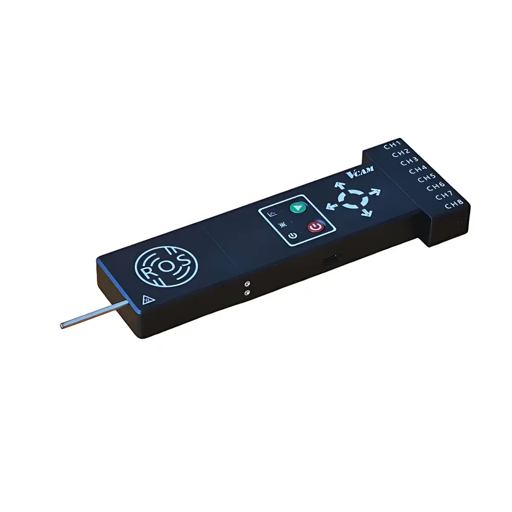
IcePenetrating Radar System Variant-1
| Origin | Canada |
|---|---|
| Manufacturer Type | Distributor |
| Origin Category | Imported |
| Model | Variant-1 |
| Pricing | Upon Request |
Overview
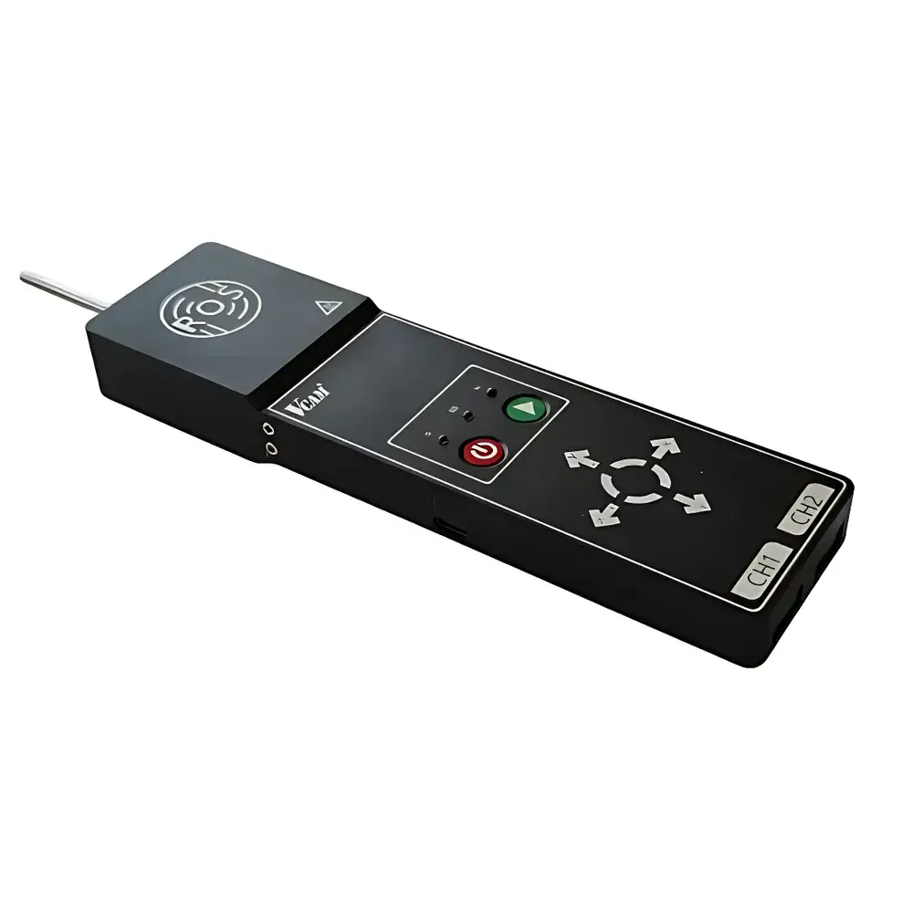
The IcePenetrating Radar System Variant-1 is a ground-based, high-frequency pulsed radar instrument engineered for radio-echo sounding (RES) of glacial and polar ice masses. Operating in the VHF/UHF band (typically 10–600 MHz, configurable per antenna assembly), it utilizes coherent pulse compression and time-domain reflectometry to resolve subsurface dielectric discontinuities—primarily the ice-bedrock interface and internal layering structures. The system adheres to established geophysical principles of electromagnetic wave propagation in cold, low-loss ice media, where signal attenuation remains below ~0.1 dB/m in dry, cold ice (< −15 °C) and increases significantly in temperate or wet-based ice due to enhanced conductivity. Designed for field deployment across diverse cryospheric environments—from alpine glaciers to ice sheets—the Variant-1 delivers depth penetration exceeding 1,000 m in cold, dry ice and 200–500 m in temperate or polythermal ice, supporting quantitative ice-thickness mapping, basal topography reconstruction, and stratigraphic analysis critical for mass-balance modeling and hydrological assessment.
Key Features
- Modular architecture with interchangeable transmit/receive antenna configurations—including dipole, bow-tie, and shielded resistively loaded variants—to optimize resolution vs. penetration trade-offs across survey scenarios
- Re-engineered Nugen-series pulse generator delivering sub-nanosecond rise times and stable pulse repetition frequencies (PRF) from 1 kHz to 20 kHz, enabling high-fidelity echo sampling
- Ruggedized tubular antenna housing with integrated shock-absorbing mounts and low-friction glide surfaces, certified for sustained operation on snow, firn, and bare ice under −40 °C to +30 °C ambient conditions
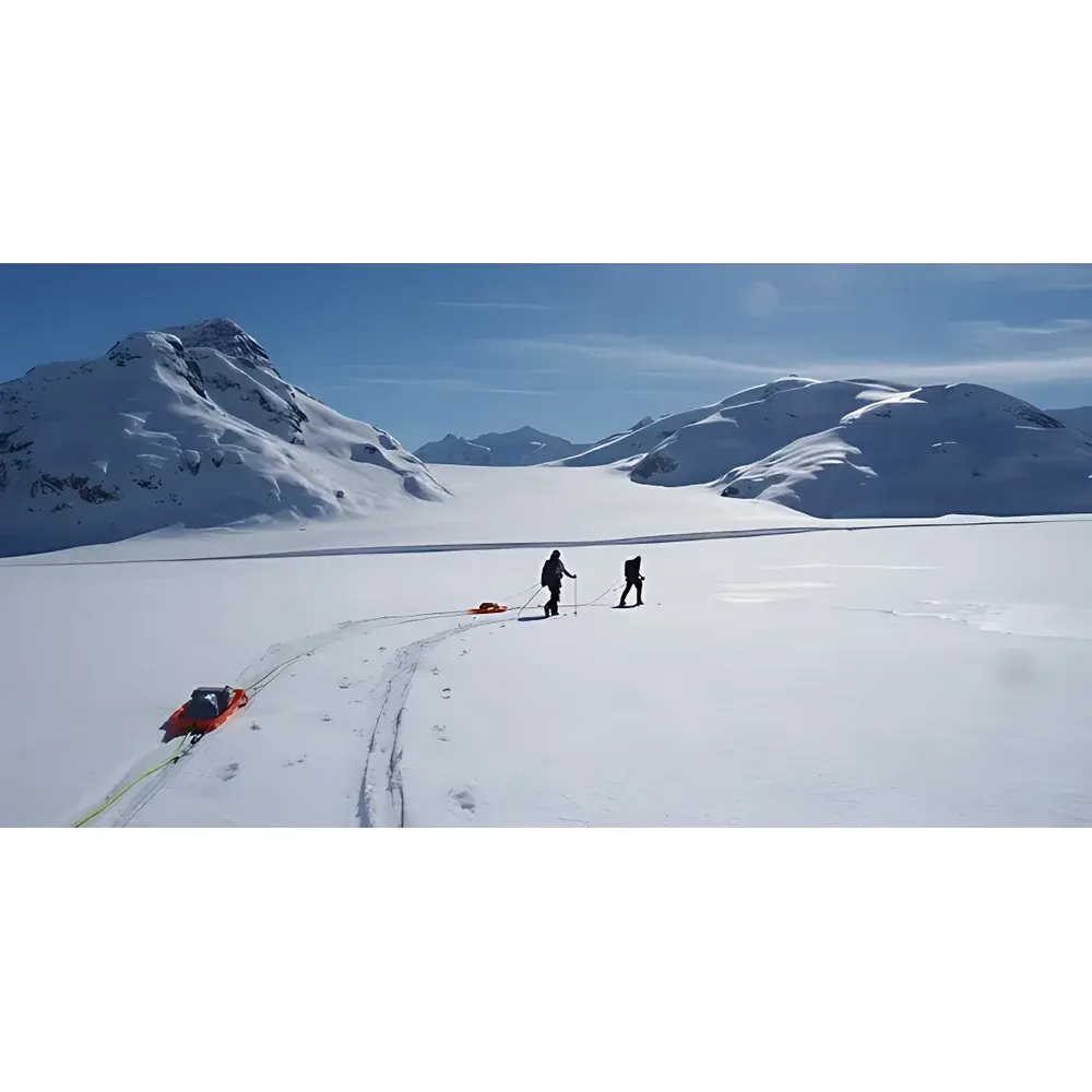
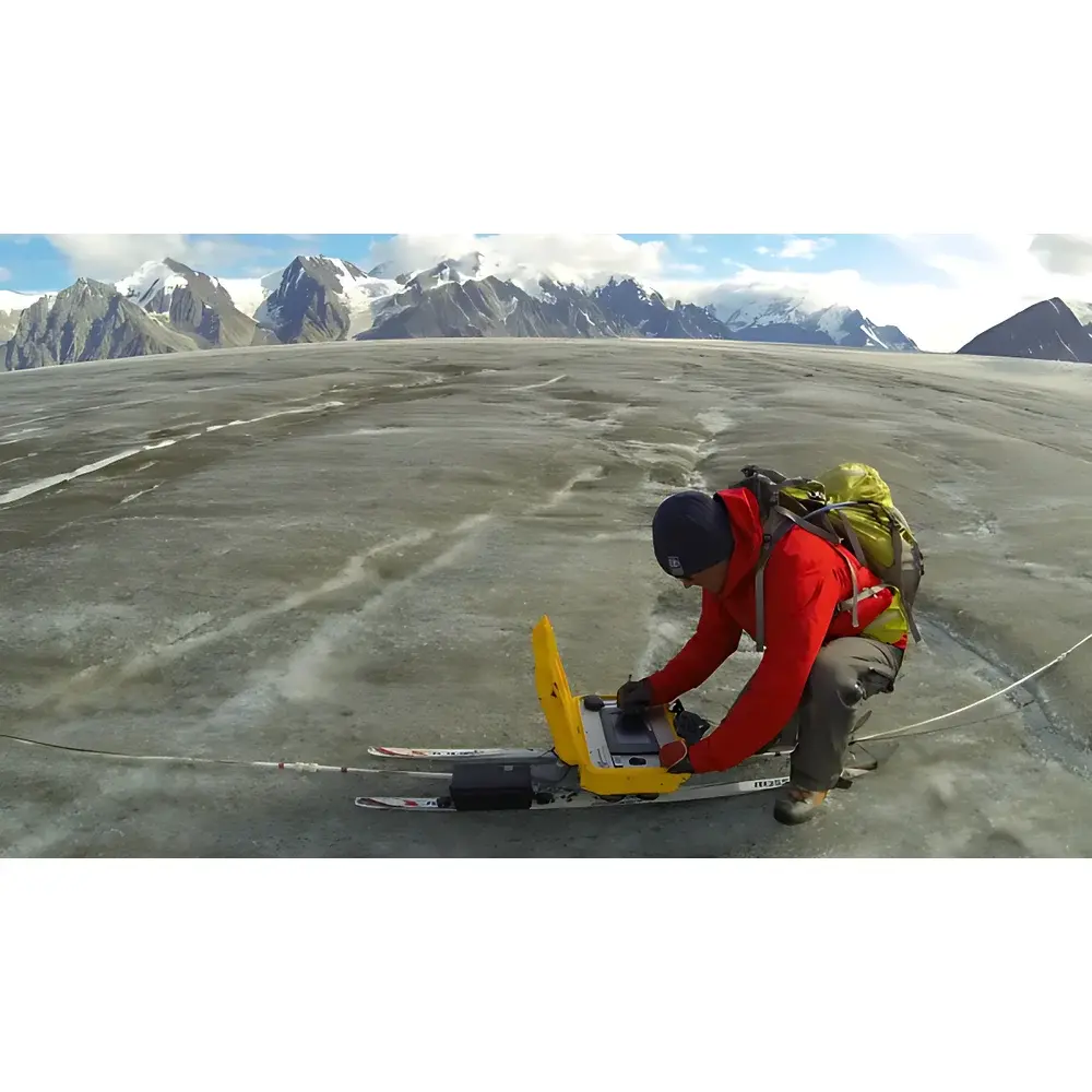
- Field-portable design compatible with human-powered (ski/sled-towed) and vehicle-mounted deployment; optional airborne integration available via custom mechanical and data-link interface engineering
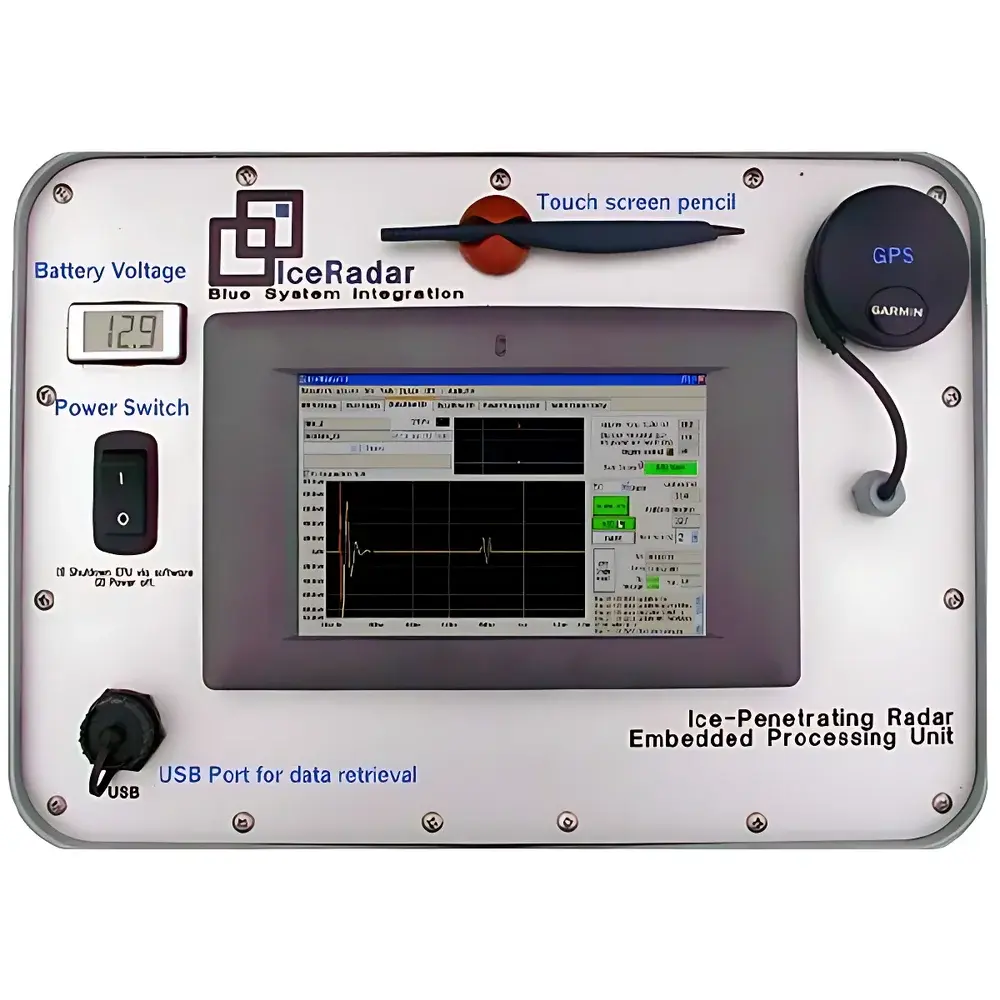
- Real-time GPS-synchronized data acquisition with onboard timing resolution ≤10 ns and position logging compliant with NMEA 0183 v4.10 and RTCM SC-104 standards
Sample Compatibility & Compliance
The Variant-1 is validated for use on glacial ice, ice shelves, permafrost-affected ground, and seasonal snowpacks. It complies with IEC 61000-6-2 (immunity) and IEC 61000-6-4 (emissions) for industrial environments, and meets FCC Part 15 Subpart B Class B requirements for unintentional radiators. All firmware and acquisition protocols support traceable calibration workflows aligned with ISO/IEC 17025:2017 laboratory accreditation criteria. Data provenance—including sensor metadata, GPS timestamps, gain settings, and environmental logs—is embedded in SEG-Y Rev. 2.1 format files, facilitating long-term archival and inter-comparison with legacy RES datasets archived by NSIDC and PANGAEA.
Software & Data Management
Bundled acquisition software (RadarView Pro v3.2) provides real-time display, gain control, stacking configuration, and raw-data export in open formats (SEG-Y, HDF5). Post-processing tools include migration algorithms (Kirchhoff and phase-shift), bedrock picking with semi-automated confidence scoring, and integration with GIS platforms via GDAL/OGR drivers. All software modules comply with FDA 21 CFR Part 11 requirements for electronic records and signatures when deployed in GLP/GMP-aligned research programs. Audit trails log user actions, parameter changes, and processing steps with immutable timestamps, supporting reproducibility and regulatory review.
Applications
- Glacier mass balance estimation through repeated ice-thickness surveys and volume change computation
- Subglacial lake detection and characterization in Antarctica and Greenland
- Basal thermal state classification (cold vs. temperate bed) using radar echo strength and waveform shape analysis
- Stratigraphic correlation across ice cores and airborne RES transects for paleoclimate reconstruction
- Hydrological modeling input generation—e.g., ice-dammed lake evolution, englacial conduit mapping, and subglacial drainage network inference
- Support for IPCC AR6 cryosphere assessment frameworks and ESA’s CryoSat-2 validation campaigns
FAQ
What is the maximum achievable vertical resolution in cold ice?
Vertical resolution depends on center frequency and pulse width; typical configurations yield 0.5–2.5 m two-way travel time resolution in cold ice, corresponding to ~0.3–1.5 m in depth assuming average ice velocity of 168 m/µs.
Is the system suitable for autonomous UAV deployment?
Yes—Variant-1 supports custom airborne integration with vibration-isolated mounting, GNSS-INS fusion units, and high-throughput telemetry links; contact engineering support for payload envelope and power budget verification.
Does the system include calibration reference targets?
Each unit ships with a certified dielectric calibration slab (εr = 3.15 ± 0.02) and time-zero delay standard traceable to NIST SRM 2821.
Can data be exported directly into MATLAB or Python for custom processing?
Yes—raw traces are stored in SEG-Y format with full header documentation; open-source libraries such as segyio and obspy provide native read/write support.
What maintenance is required between field seasons?
Annual recalibration of timing circuits and antenna impedance matching is recommended; all firmware updates and diagnostic utilities are distributed via secure customer portal with version-controlled release notes.
Related Products