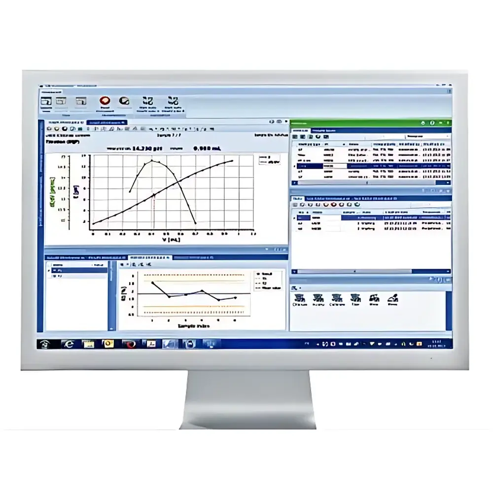
Environmental Early-Warning and Emergency Command System
| Brand | LiheRO (Lihero) |
|---|---|
| Origin | Hunan, China |
| Manufacturer Type | Authorized Distributor |
| Product Origin | Domestic (China) |
| Model | Environmental Early-Warning and Emergency Command System |
| Pricing | Available Upon Request |
Overview
The Environmental Early-Warning and Emergency Command System is a mission-critical integrated information platform engineered for real-time environmental risk monitoring, dynamic incident simulation, and coordinated multi-agency emergency response. Built upon standardized 4G/5G cellular infrastructure and interoperable with national environmental monitoring networks, the system implements a spatial-temporal decision support architecture grounded in GIS-based geospatial analytics, real-time telemetry ingestion, and physics-informed pollutant dispersion modeling. It operates as a unified operational layer across ambient air, surface water, and point-source emission monitoring domains—conforming to China’s HJ 212–2017 data transmission protocols, GB 3095–2012 ambient air quality standards, and the Ministry of Ecology and Environment’s Technical Guidelines for Emergency Response to Sudden Environmental Incidents (HJ 941–2017). The system employs high-fidelity 3D digital twin modeling to simulate plume propagation under variable meteorological conditions, enabling scenario-based contingency planning and probabilistic impact assessment prior to field deployment.
Key Features
- Multi-modal real-time data fusion: Ingests streaming telemetry from mobile monitoring vehicles, handheld analyzers (e.g., PID/GC-MS portable units), fixed-site automatic stations, and IoT-enabled sensor nodes via standardized OPC UA and MQTT protocols.
- GIS-integrated command visualization: Leverages large-scale vector base maps with dynamic overlay of live sensor readings, pollution source inventories, population density layers, and evacuation zone polygons—all rendered in a browser-based web-GIS interface compliant with OGC WMS/WFS specifications.
- Physics-driven dispersion simulation engine: Supports Gaussian plume, Lagrangian particle tracking, and CFD-based microscale modeling for gaseous and particulate contaminants—calibrated against local topography and historical meteorological datasets.
- Multi-channel dispatch coordination: Enables voice-over-IP (VoIP), encrypted video streaming, SMS broadcast, and dedicated environmental intranet messaging—each session logged with immutable timestamps and user authentication metadata for audit compliance.
- Unified resource registry: Maintains searchable repositories for emergency assets (mobile labs, UAVs, sampling kits), personnel credentials (certified responders, subject-matter experts), and jurisdiction-specific response plans—all indexed using ISO 19115-compliant metadata schemas.
Sample Compatibility & Compliance
The system is agnostic to input data format and vendor—accepting structured telemetry (JSON/XML over HTTPS), MODBUS RTU/TCP streams, and legacy SCADA exports. It supports integration with third-party analytical instruments certified to GB/T 32205–2015 (portable gas analyzers) and HJ 653–2013 (ambient air monitoring equipment). All data handling adheres to China’s Personal Information Protection Law (PIPL) and Cybersecurity Law requirements. Audit trails comply with GLP-aligned record retention policies, including full traceability of data provenance, transformation logic, and user-initiated actions—supporting regulatory inspections under MEE Order No. 48 and provincial ecological supervision frameworks.
Software & Data Management
A centralized PostgreSQL-based relational database serves as the single source of truth, normalized across time-series sensor logs, static asset registers, and unstructured incident reports. Role-based access control (RBAC) enforces data visibility per organizational hierarchy (e.g., municipal bureau vs. provincial command center). The web application provides RESTful APIs for integration with provincial environmental data centers and national platforms such as the National Environmental Monitoring Network (NEMN). All analytical outputs—including dispersion heatmaps, exposure duration estimates, and response timeline visualizations—are exportable in PDF, GeoJSON, and CSV formats for archival and inter-agency reporting. Software updates follow a formal change management process documented per ISO/IEC 27001 Annex A.8.2.
Applications
- Rapid response to chemical spills along industrial corridors or transport routes—leveraging GPS-tracked mobile labs for on-site VOC/TOC quantification and near-real-time plume boundary prediction.
- Dynamic re-routing of emergency teams during haze episodes using PM2.5 concentration gradients overlaid on traffic flow models.
- Post-incident forensic analysis: Correlating temporal sensor anomalies with meteorological records and land-use classifications to attribute exceedance events to specific emission sources.
- Training and drills: Simulating cascading failures (e.g., power outage at wastewater treatment plant + concurrent rainfall) within the digital twin environment to validate plan robustness.
- Public communication coordination: Auto-generating multilingual alert messages (via WeCom/WeChat API) targeted to geo-fenced residential zones based on modeled exposure thresholds.
FAQ
Does the system support integration with existing provincial environmental monitoring platforms?
Yes—it implements HJ 212–2017 protocol adapters and provides documented REST APIs for bidirectional synchronization with provincial data centers.
Is historical data migration supported during system deployment?
Yes—dedicated ETL modules handle legacy CSV, DBF, and Oracle dump files, preserving temporal integrity and metadata lineage.
How is model accuracy validated for dispersion simulations?
Validation follows HJ 941–2017 Annex B: Field tracer experiments are conducted annually at representative sites; model outputs are benchmarked against observed ground-level concentrations using RMSE and FAC2 metrics.
Can the system operate offline in remote areas with limited network coverage?
Edge computing modules on mobile command vehicles enable local telemetry buffering, offline map caching, and preloaded dispersion scenarios—synchronizing automatically upon network restoration.
What cybersecurity certifications does the software architecture hold?
The platform has undergone level-3 classification protection assessment (GB/T 22239–2019) and includes TLS 1.3 encryption, hardware security module (HSM)-backed key management, and quarterly penetration testing reports available under NDA.