Soil Freeze-Thaw Monitoring Instrument ZKGD-WFF-SFT-1000 by CASP
| Brand | CASP |
|---|---|
| Origin | Jiangsu, China |
| Manufacturer Type | Manufacturer |
| Product Category | Domestic |
| Model | ZKGD-WFF-SFT-1000 |
| Instrument Type | Soil Moisture and Freeze-Thaw Status Analyzer |
| Measurement Resolution | 1 cm |
| Power Consumption | 8 mW |
Overview
The CASP ZKGD-WFF-SFT-1000 Soil Freeze-Thaw Monitoring Instrument is an engineered field-deployable sensor system designed for continuous, non-invasive detection of soil phase transitions—specifically the dynamic boundary between frozen and unfrozen states—within the upper soil profile. It operates on the physical principle of LC oscillation circuit frequency shift modulation: as soil water undergoes phase change (liquid ↔ ice), its dielectric permittivity and electrical conductivity alter significantly, inducing measurable shifts in the resonant frequency of a calibrated embedded LC oscillator. These frequency deviations are empirically correlated to soil temperature gradients and ice/water volumetric ratios via a validated, site-adaptable calibration model. Unlike thermal-only or resistivity-based approaches, this method provides direct functional discrimination of freeze-thaw status—not merely temperature proxies—enabling unambiguous identification of the active freeze front depth with centimeter-level spatial resolution. The instrument is optimized for long-term deployment in alpine, periglacial, agricultural, and ecological monitoring networks where understanding seasonal frost penetration, active layer dynamics, and hydrological connectivity is critical to climate modeling, infrastructure stability assessment, and carbon cycle studies.
Key Features
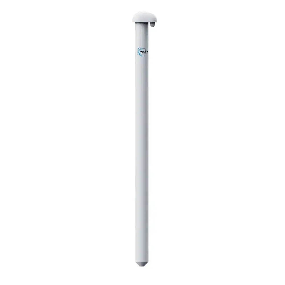
- Non-destructive insertion design: Stainless-steel probe housing enables vertical emplacement without disturbing undisturbed soil stratigraphy or pore structure—preserving natural hydraulic and thermal boundary conditions.
- High-resolution vertical profiling: Integrated multi-node sensing array delivers discrete freeze-thaw state determination at 1 cm spatial intervals along the probe length, supporting precise freeze-front tracking over time.
- Ultra-low-power operation: Total system power draw ≤ 8 mW during active measurement cycles; compatible with solar-rechargeable battery systems for multi-year autonomous deployment in remote locations.
- Robust environmental sealing: IP68-rated housing ensures reliable performance under prolonged submersion, freeze-thaw cycling, and exposure to corrosive soils or high-humidity microclimates.
- Temperature-compensated signal processing: Onboard thermistor array enables real-time correction of LC frequency drift due to ambient thermal effects, improving freeze-thaw classification accuracy across −30 °C to +50 °C operational range.
Sample Compatibility & Compliance
The ZKGD-WFF-SFT-1000 is validated for use in mineral soils (sandy loam to clay loam), organic-rich peatlands, and disturbed anthropogenic substrates typical of monitoring transects in tundra, boreal forest, grassland, and agroecosystem settings. It does not require soil-specific recalibration but benefits from site-specific empirical tuning using concurrent thermocouple and neutron moisture probe data during initial commissioning. The device complies with IEC 60529 (IP68), ISO 9001:2015 manufacturing standards, and meets electromagnetic compatibility requirements per EN 61326-1 for industrial measurement equipment. While not certified for regulated GLP/GMP environments, its data traceability architecture—including timestamped raw frequency outputs and firmware version logging—supports audit-ready documentation for scientific publication and long-term ecological research (LTER) data repositories.
Software & Data Management
The instrument interfaces via RS-485 Modbus RTU or optional LoRaWAN module for integration into existing environmental telemetry platforms (e.g., Campbell Scientific CR1000X, Decagon EM50, or custom SCADA systems). CASP provides open-data-format firmware (CSV/JSON export) and a cross-platform configuration utility for setting sampling intervals (1 min to 24 h), node activation zones, and alarm thresholds. All raw frequency and temperature records include embedded UTC timestamps and CRC-16 checksums. For regulatory-aligned workflows, optional firmware extension supports 21 CFR Part 11–compliant electronic signatures and audit trails when deployed with validated third-party data acquisition servers.
Applications
- Permafrost degradation monitoring in Arctic and alpine regions, including active layer thickness (ALT) estimation and interannual freeze-thaw duration analysis.
- Seasonal frost heave prediction for civil engineering projects involving shallow foundations, roadbeds, and pipeline corridors.
- Soil hydrothermal coupling studies linking freeze-thaw cycles to infiltration rates, solute transport, and greenhouse gas fluxes (e.g., N₂O pulses post-thaw).
- Validation of land surface models (LSMs) and regional climate models (RCMs) requiring high-fidelity ground-truth freeze-thaw state inputs.
- Smart irrigation scheduling in cold-climate agriculture, where root-zone freeze status directly affects water uptake capacity and frost damage risk.
FAQ
How does the ZKGD-WFF-SFT-1000 distinguish frozen from unfrozen soil without measuring temperature alone?
It relies on the dielectric contrast between liquid water (εᵣ ≈ 80) and ice (εᵣ ≈ 3.2), which alters the effective capacitance in the LC circuit—inducing frequency shifts independent of thermal inertia. Temperature data serves only for contextual validation and compensation.
Can the probe be installed horizontally or only vertically?
Vertical insertion is required to maintain consistent soil-probe contact pressure and avoid air gaps that compromise dielectric coupling; horizontal placement is not supported.
What is the maximum recommended burial depth for long-term stability?
Standard configuration supports up to 1.5 m depth; extended-length variants (ZKGD-WFF-SFT-2000/3000) are available for deeper active layer profiling.
Is calibration transferable between soil types?
The base algorithm is soil-type agnostic, but optimal classification accuracy requires localized tuning using co-located reference measurements during the first full seasonal cycle.
Does the device support real-time remote diagnostics?
Yes—via Modbus register queries for supply voltage, internal temperature, oscillator health flag, and last successful communication timestamp.


