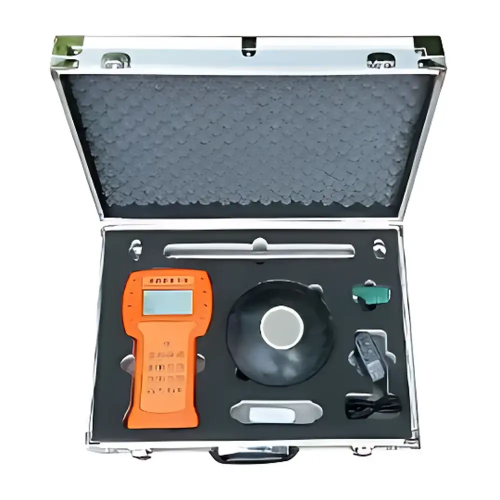
HengaoDe H28234 Handheld Storage-Type Ultrasonic Depth Sounder for Reservoirs, Lakes, Rivers, and Shallow Seas
| Brand | HengaoDe |
|---|---|
| Origin | Beijing, China |
| Manufacturer Type | Authorized Distributor |
| Country of Origin | China |
| Model | H28234 |
| Price | USD 135 (FOB) |
| Measurement Principle | Pulse-echo ultrasonic time-of-flight |
| Max. Range | 200 m |
| Blind Zone | Auto-detected |
| Transducer Frequency | 200–2000 kHz |
| Depth Resolution | 1 mm |
| Accuracy | ±0.3% of full scale |
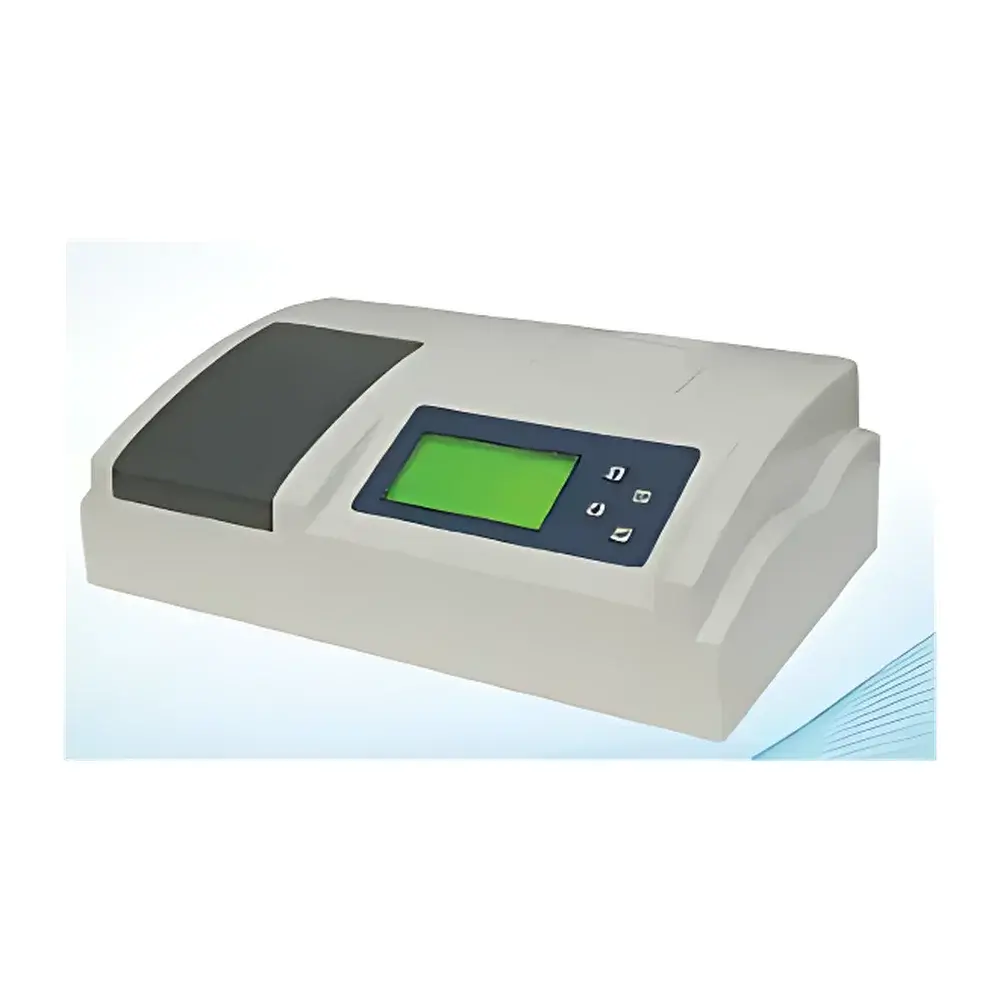
| Display | Chinese LCD |
| Data Storage | 32 GB SD card (FAT16/FAT32), auto-saved as CSV by date |
| Output Interface | RS232/RS485 |
| Power Supply | Rechargeable internal battery + external charger |
| Operating Temperature | -40°C to +70°C |
| IP Rating | IP67 (transducer), IP54 (host) |
| Weight | Host 800 g, Transducer 400–800 g, Cable 10 m × 5–10 mm diameter |
Overview
The HengaoDe H28234 Handheld Storage-Type Ultrasonic Depth Sounder is an engineered field instrument designed for precise, real-time bathymetric profiling in inland and coastal water bodies—including reservoirs, lakes, rivers, and shallow marine environments up to 200 meters depth. It operates on the pulse-echo principle: a transducer emits a high-frequency ultrasonic pulse (200–2000 kHz) into the water column; the elapsed time between transmission and echo return is measured with microsecond resolution, and depth (H) is calculated using the known speed of sound in water (VC ≈ 1480–1540 m/s, compensated via temperature and salinity assumptions). The device integrates a low-power, surface-mount circuit architecture (99% SMT component rate) and adaptive automatic gain control (AGC) across 32 transmit power levels, enabling stable operation under variable water clarity, turbidity, and flow conditions—up to 5 m/s current velocity. Its embedded timing circuit maintains annual clock accuracy of ±3 ppm, ensuring timestamp integrity for long-term hydrographic monitoring campaigns.
Key Features
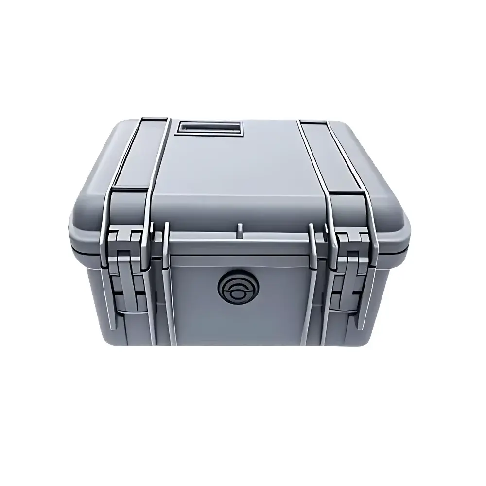
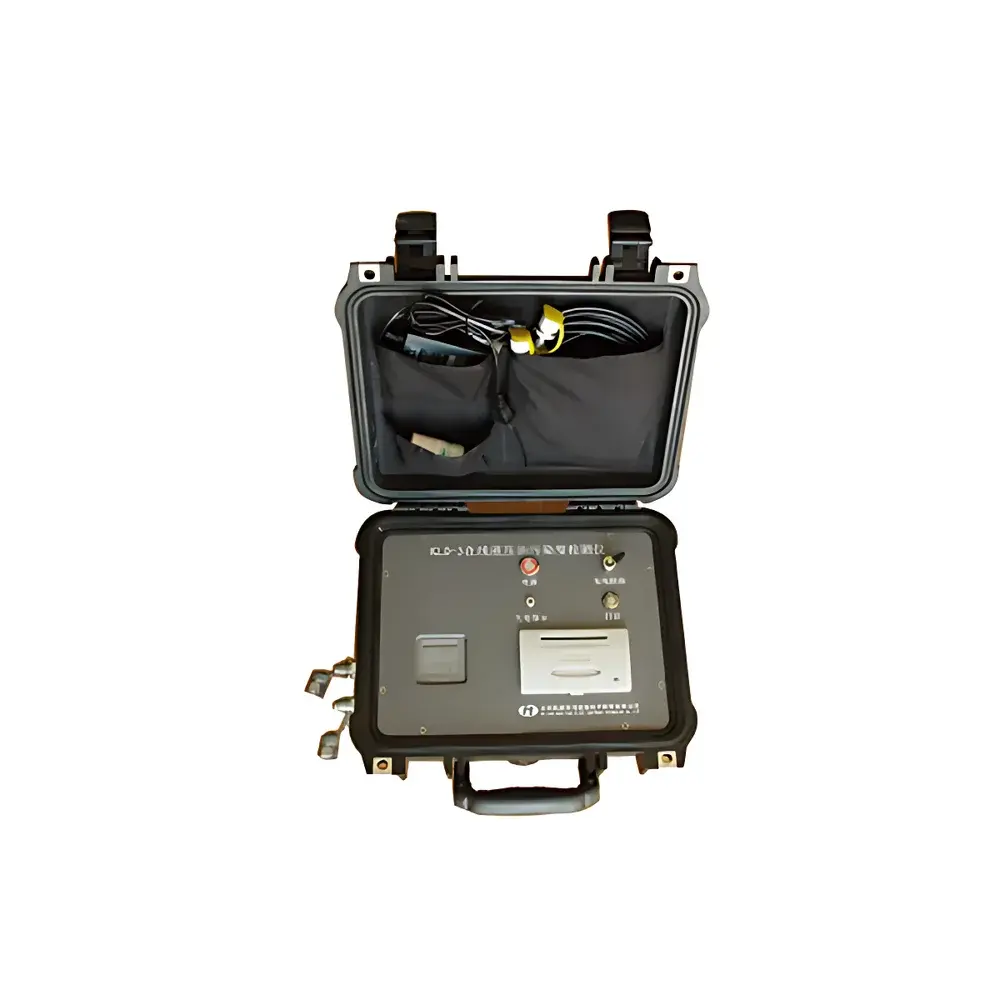
- Field-deployable handheld design with ergonomic ABS engineering plastic housing (IP54-rated host, IP67-rated transducer)
- Auto-compensated blind zone detection and dynamic range optimization for reliable near-surface and deep-water measurements
- Real-time depth tracking with 15 Hz sampling rate and self-stabilizing signal processing for vessel motion compensation
- Onboard 32 GB SD card storage with FAT16/FAT32 file system compatibility; data auto-saved as dated CSV files for direct import into GIS or spreadsheet software
- Dual serial interfaces (RS232 & RS485) support integration with data loggers, GNSS receivers, or vessel navigation systems per NMEA 0183 or custom protocols
- Low-power consumption architecture enables >12 hours continuous operation on a single charge; supports hot-swappable battery and external DC input
- Configurable measurement parameters via tactile keypad—no PC required for field setup or calibration
Sample Compatibility & Compliance
The H28234 is validated for use in freshwater, brackish, and saline environments with suspended solids concentrations typical of hydrological survey conditions. It meets functional equivalence to ASTM D1435 (Standard Practice for Underwater Acoustic Measurements) and complies with IEC 60068-2 environmental stress testing for operational reliability. While not certified to ISO/IEC 17025 for metrological traceability, its factory calibration follows documented procedures aligned with ISO 17025 Clause 5.5.2 (equipment verification), and field recalibration is supported using reference targets or known-depth benchmarks. The instrument’s mechanical construction satisfies CE EMC Directive 2014/30/EU and RoHS 2011/65/EU requirements. For regulatory reporting (e.g., USACE, EPA, or EU WFD compliance), raw CSV outputs are compatible with QA/QC workflows requiring audit trails, version-controlled metadata, and timestamped records.
Software & Data Management
No proprietary desktop software is required for basic operation or data retrieval. The SD card stores comma-separated values (CSV) files named by acquisition date (e.g., “20240521_142233.csv”), each containing columns: UTC timestamp (YYYY-MM-DD HH:MM:SS), depth (m), temperature (°C, if sensor equipped), battery voltage (V), and signal quality index (0–100%). Users may import files directly into MATLAB, Python (pandas), QGIS, or Excel for post-processing. Optional firmware updates are delivered via USB-to-SD adapter and adhere to secure boot principles—no unsigned code execution permitted. All stored data retains write-protection capability at the file-system level, supporting GLP-compliant record retention where electronic signatures or 21 CFR Part 11 compliance is mandated by institutional policy.
Applications
- River cross-section surveys and sediment transport studies under varying flow regimes (tested up to 5 m/s)
- Reservoir volume estimation and bathymetric change detection over seasonal cycles
- Coastal zone management—mapping intertidal flats, seagrass beds, and dredge spoil disposal sites
- Navigational safety assessments for inland waterways and port approach channels
- Environmental monitoring of lake stratification, thermal layer depth, and anthropogenic disturbance indicators
- Integration with unmanned surface vehicles (USVs) or ADCP-mounted platforms for autonomous transect mapping
FAQ
Can the H28234 be used in fast-moving rivers?
Yes—the instrument has been tested and verified for accurate depth measurement at water velocities up to 5 m/s (18 km/h), with no loss of signal lock or depth drift due to Doppler shift or cavitation effects.
Does it require manual salinity or temperature input for sound velocity correction?
No—while optional external temperature sensors can be connected via RS485 for enhanced VC compensation, the default algorithm applies a standard freshwater model (1482 m/s at 20°C) with ±0.5% depth error margin acceptable for most hydrographic applications per ISO 4872.
Is the SD card data export compatible with GIS platforms?
Yes—CSV output includes geotag-ready timestamps and sequential depth records; when paired with external GNSS (via NMEA 0183), coordinates can be merged in QGIS or ArcGIS using time-synchronized interpolation.
What is the warranty and service support structure outside China?
HengaoDe provides 24-month limited warranty covering manufacturing defects; international calibration and repair services are coordinated through authorized regional technical partners with ISO 9001-certified labs. Firmware patches and calibration certificates are issued digitally with unique device identifiers.