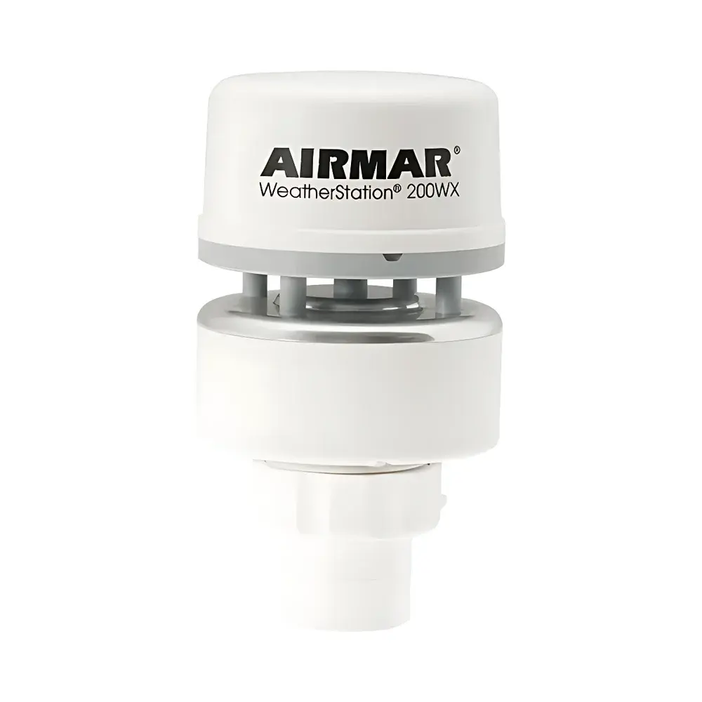
Airmar 200WX Ultrasonic Weather Station
| Brand | Airmar |
|---|---|
| Origin | USA |
| Model | 200WX |
| Instrument Type | Portable Weather Station |
| Enclosure Rating | IPX6 |
| Output Protocols | NMEA 0183 (RS422/RS232) and NMEA 2000® (CAN Bus) |
| Integrated Sensors | Ultrasonic Wind (True & Apparent), 10 Hz GPS, 3-Axis Solid-State Compass, 3-Axis Rate Gyro, Tilt Sensor, Air Temperature, Barometric Pressure |
| Optional Sensor | Relative Humidity (Field-Replaceable) |
Overview
The Airmar 200WX Ultrasonic Weather Station is an integrated, high-reliability environmental sensing platform engineered for real-time meteorological data acquisition on dynamic platforms. Unlike traditional mechanical anemometers, the 200WX employs time-of-flight ultrasonic wind measurement—based on precise acoustic transit time differences across orthogonal transducer pairs—to derive true wind speed and direction without moving parts. This principle ensures long-term stability, minimal drift, and immunity to icing or mechanical wear. Critical for mobile applications, the unit computes *true wind* (the atmospheric wind vector relative to Earth-fixed coordinates) by fusing apparent wind measurements with vehicle motion data—including ground speed, course over ground (COG), and heading—derived from its internal 10 Hz GPS receiver and three-axis solid-state compass. The embedded tilt sensor and rate gyro further compensate for platform pitch, roll, and yaw dynamics, enabling robust wind vector correction under acceleration, vibration, or non-level mounting conditions. Designed for continuous outdoor operation, the housing meets IPX6 ingress protection standards, resisting powerful water jets—making it suitable for deployment on agricultural vehicles, marine unmanned surface vessels (USVs), coastal buoys, defense mobility platforms, and mobile environmental monitoring units.
Key Features
- Ultrasonic wind sensing: Simultaneous measurement of true and apparent wind speed (0–60 m/s) and direction (0–360°) with no mechanical components or bearings
- Integrated 10 Hz GPS module: Provides position, COG, SOG, and precise UTC timestamps at 10 Hz update rate for high-fidelity motion referencing
- Three-axis solid-state electronic compass: Dynamic heading stabilization with <1° RMS accuracy under motion; temperature-compensated and factory-calibrated
- Triaxial rate gyroscope: Delivers angular velocity data (°/s) for real-time attitude correction and enhanced wind vector transformation
- Onboard environmental sensors: Precision air temperature (±0.3°C), barometric pressure (±0.5 hPa), and optional field-replaceable relative humidity sensor (±3% RH)
- Dual-output digital interface: Configurable NMEA 0183 (RS422 or RS232) and NMEA 2000® (CAN bus) outputs—supporting seamless integration into marine electronics networks, telematics systems, and SCADA architectures
- Ruggedized enclosure: Aluminum alloy housing with UV-stabilized polymer components; IPX6-rated for reliable operation in rain, spray, and high-humidity environments
Sample Compatibility & Compliance
The 200WX is designed for unattended, long-duration deployment across diverse environmental regimes—from arid agricultural fields to saline marine atmospheres. Its sensor suite conforms to standard meteorological best practices defined in WMO Guide to Instruments and Methods of Observation (CIMO Guide) for portable wind and atmospheric parameter measurement. While not certified to ISO/IEC 17025 for calibration laboratory use, the device supports traceable sensor calibration via manufacturer-provided procedures and maintains stable performance across –25°C to +70°C operating temperature range. Data output protocols comply fully with NMEA 0183 v4.10 and NMEA 2000® v2.000 specifications, ensuring interoperability with certified marine navigation systems, autonomous vehicle perception stacks, and industrial IoT gateways. No regulatory certification (e.g., FCC, CE, or RoHS) is implied unless explicitly stated in the product’s Declaration of Conformity shipped with hardware.
Software & Data Management
The 200WX operates as a self-contained sensor node—requiring no host software for core functionality. All signal processing, coordinate transformation (e.g., apparent-to-true wind conversion), and data framing occur onboard using deterministic firmware algorithms. Raw and derived parameters—including wind vectors, GPS-derived motion states, and environmental metrics—are streamed continuously via configurable NMEA sentences (e.g., $WIMWV, $GPGGA, $HEHDT, $YXXDR). Users may log, parse, and post-process data using industry-standard tools such as Actisense NGT-1, Maretron DSM150/250, or custom Python/MATLAB scripts leveraging pynmea2 or CANopen libraries. Firmware updates are performed via serial interface using Airmar’s official configuration utility (Windows/macOS), which also enables sentence filtering, baud rate selection, and sensor enable/disable control. Audit trails are not maintained internally; however, timestamped NMEA streams support external GLP-compliant logging when ingested into validated data acquisition systems meeting 21 CFR Part 11 requirements.
Applications
- Mobile meteorological monitoring: Mounted on survey vehicles, agri-tractors, or emergency response units for hyperlocal weather profiling during field operations
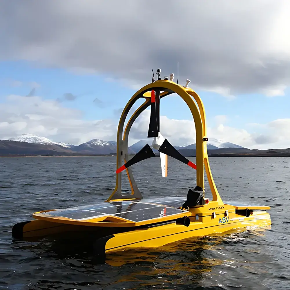
- Autonomous system perception: Feeding real-time wind and attitude data to path-planning algorithms in UAS, USVs, and autonomous ground vehicles operating in variable boundary-layer conditions
- Agricultural precision spraying: Correlating wind vector, RH, and temperature to optimize droplet drift modeling and application timing per EPA and ISO 16122 guidelines
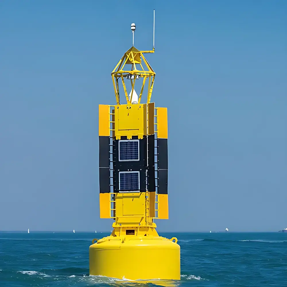
- Maritime situational awareness: Installed on pilot boats, harbor patrol craft, or offshore platforms to augment AIS and radar with localized wind shear and gust detection
- Environmental compliance monitoring: Supporting emissions dispersion modeling near industrial sites where on-site wind profile fidelity directly impacts regulatory reporting accuracy
- Research-grade mobile sensing: Deployed in boundary-layer meteorology studies requiring synchronized GPS-referenced wind, pressure, and thermal data at sub-second resolution
FAQ
Does the 200WX require external power conditioning or voltage regulation?
No—the unit accepts a wide-input DC supply (9–36 VDC) with reverse-polarity and overvoltage protection; no external regulator is needed for typical vehicle or marine battery systems.
Can the relative humidity sensor be added after initial purchase?
Yes—models without RH (e.g., part #44-835-1-01) accept the optional RH module (Airmar P/N 44-836-01) as a field-replaceable component without firmware reflash.
Is GPS antenna included with the unit?
No—the 200WX requires an external active GPS antenna (e.g., Airmar GP330B or equivalent) connected via SMA; cable assemblies are sold separately.
What is the maximum recommended cable length for NMEA 2000® communication?
Per NMEA 2000® specification, trunk cable length should not exceed 100 m; drop cables to the 200WX must be ≤6 m to maintain signal integrity and termination compliance.
How is true wind calculated when GPS signal is temporarily lost?
During GPS outage, the unit holds last valid COG/SOG/heading values and continues computing apparent wind only; true wind output is suspended until motion data is restored—preventing erroneous vector derivation.
Related Products


