MIRA PICO Mobile LDS Natural Gas Leak Detection System
| Origin | USA |
|---|---|
| Manufacturer Type | Authorized Distributor |
| Origin Category | Imported |
| Model | MIRA PICO MOBILE LDS |
| Pricing | Available Upon Request |
Overview
The MIRA PICO Mobile LDS (Leak Detection System) is a field-deployable, high-sensitivity optical gas analyzer engineered for real-time, dual-species quantification of methane (CH₄) and ethane (C₂H₆) in ambient air. It employs Aeris Technologies’ proprietary mid-infrared (MIR) folded-path laser absorption spectroscopy — a physics-based measurement principle leveraging strong fundamental vibrational–rotational absorption bands in the 3–5 µm spectral region. Unlike near-infrared (NIR) systems, MIR absorption cross-sections for hydrocarbons are typically 10³× stronger, enabling sub-part-per-trillion-per-second (ppt/s) detection limits without cryogenic cooling or vacuum pumping. The system operates on the principle of direct absorption spectroscopy: a tunable quantum cascade laser (QCL) scans across targeted rovibrational lines of CH₄ and C₂H₆; photodetectors measure attenuation; and Beer–Lambert law inversion yields dry-mole-fraction concentrations. Its compact, sealed optical bench — integrating laser source, multi-pass absorption cell (60 mL volume, >13 m effective path length), and thermoelectrically stabilized detector — ensures robustness against vibration, thermal drift, and particulate contamination. Designed for mobile survey applications, it delivers laboratory-grade accuracy in a handheld form factor suitable for vehicle-mounted, backpack, or drone-integrated deployment.
Key Features
- Real-time, simultaneous CH₄ and C₂H₆ detection with sensitivity of <1 ppb/s (CH₄) and <500 ppt/s (C₂H₆)
- Integrated high-precision GPS module with magnetic-mount vehicular antenna for georeferenced plume mapping
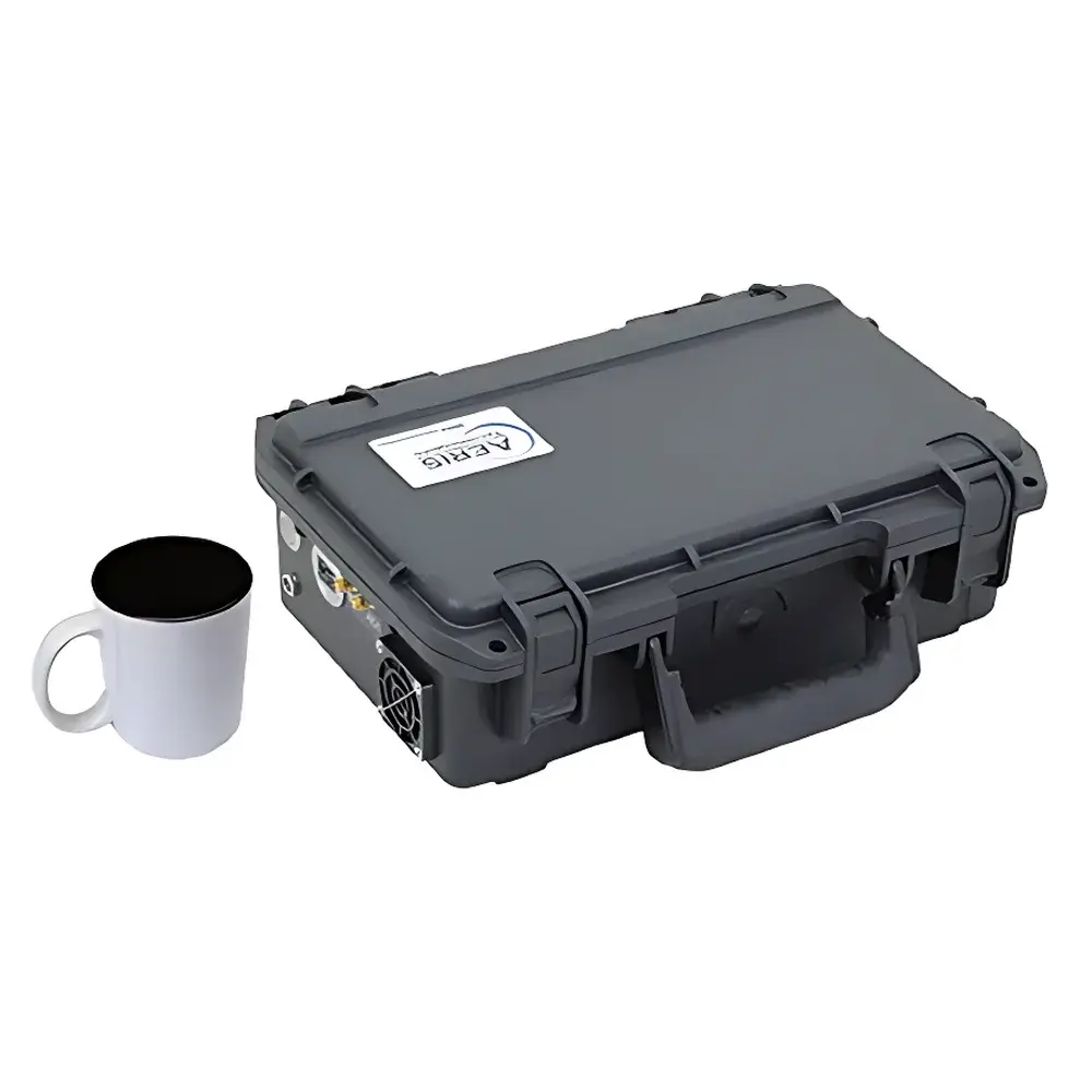
- Compact footprint: 11.5″ W × 8″ D × 3.75″ H; total mass: 2.75 kg (including 6-hour rechargeable Li-ion battery and internal pump)
- Low-power architecture: nominal 15 W consumption; compatible with 12–15 V DC or 110–220 V AC input
- Configurable data acquisition rate: 1 Hz or 2 Hz, with full spectral resolution preserved at both rates
- Simultaneous H₂O vapor measurement for real-time dry-mole-fraction correction and reporting
- Output interfaces: WiFi (IEEE 802.11 b/g/n), RS-232 serial, and optional 4–20 mA analog output
- Onboard 32 GB non-volatile storage with timestamped, standardized CSV/NetCDF export for GIS integration (e.g., Google Earth KML overlay)
- Optical platform engineered without high-reflectivity mirrors — eliminating alignment sensitivity and enhancing long-term stability in field environments
Sample Compatibility & Compliance
The MIRA PICO Mobile LDS is validated for continuous ambient air sampling across temperature ranges of 10–40 °C and relative humidity of 10–95% RH (non-condensing). Its sealed, pressure-stabilized absorption cell eliminates sample conditioning requirements (e.g., drying, filtering, or preconcentration), enabling direct analysis of raw air streams. The system complies with ASTM D6522–22 (Standard Test Method for Determination of Nitrogen Oxides, Carbon Monoxide, and Oxygen in Emissions from Stationary Sources by Gas Chromatography), and its traceable calibration protocol aligns with ISO/IEC 17025:2017 requirements for testing laboratories. While not a regulated emissions monitor per se, its performance characteristics support adherence to EPA OOOOa Subpart W compliance verification workflows, particularly for fugitive emission quantification and source attribution. Data integrity is maintained via embedded audit trails, time-synchronized logging, and firmware-level write protection — features consistent with GLP and GMP-aligned field data collection practices.
Software & Data Management
The system ships with Aeris FieldView™ desktop software (Windows/macOS) and a companion mobile application for real-time telemetry visualization. All raw spectra, concentration time series, GPS coordinates, and environmental metadata are stored in vendor-neutral, self-describing formats (CSV with header definitions, NetCDF4). Exported datasets include calibrated dry-mole fractions for CH₄, C₂H₆, and H₂O; ethane-to-methane ratio (C₂H₆/CH₄); plume centroid location; and uncertainty estimates derived from Allan variance analysis. Integration with third-party platforms (e.g., QGIS, ArcGIS, MATLAB) is supported via documented RESTful API endpoints. Firmware updates are delivered over-the-air (OTA) via secure HTTPS handshake, ensuring traceability and version control in multi-unit deployments. No consumables, carrier gases, or periodic optical recalibration are required — reducing total cost of ownership and operational downtime.
Applications
- Urban natural gas distribution network leak surveys (pipeline, metering station, regulator vault)
- Upstream oil & gas facility LDAR (Leak Detection and Repair) programs per EPA Method 21 and OOOOa
- Differentiation of thermogenic (fossil) vs. biogenic methane sources using C₂H₆/CH₄ ratios — critical for landfill, agricultural, and wetland monitoring
- Mobile emissions inventories for city-scale climate action planning (e.g., aligning with ICLEI or CDP reporting frameworks)
- Verification of methane mitigation interventions (e.g., compressor station upgrades, pneumatic controller replacements)
- Research-grade atmospheric chemistry studies requiring high-temporal-resolution hydrocarbon speciation
- Integration into autonomous platforms (UGVs, UAVs) for inaccessible or hazardous terrain inspection
FAQ
What distinguishes MIRA PICO Mobile LDS from conventional methane-only detectors?
It provides simultaneous, quantitative measurement of both CH₄ and C₂H₆ — enabling definitive thermogenic vs. biogenic source attribution through ratio analysis, which single-gas sensors cannot achieve.
Does the system require external calibration gases or routine maintenance?
No. It uses absolute spectroscopic calibration based on HITRAN line parameters and built-in reference cells; no span gas or zero-air supply is needed during operation.
Can the device operate continuously while mounted on a moving vehicle?
Yes. Its inertial stabilization, GPS-synchronized sampling, and 2 Hz update rate ensure spatially resolved plume mapping at typical driving speeds (≤60 km/h).
How is data validated for regulatory reporting?
All measurements include embedded uncertainty metrics, NIST-traceable wavelength calibration logs, and full spectral records — supporting defensible QA/QC documentation per EPA and ISO standards.
Is the system compatible with drone integration?
Yes. Its 2.75 kg mass, 15 W power envelope, and vibration-resistant optical design meet common small-UAS payload specifications; Aeris provides mechanical and electrical interface documentation for OEM integration.
Related Products


