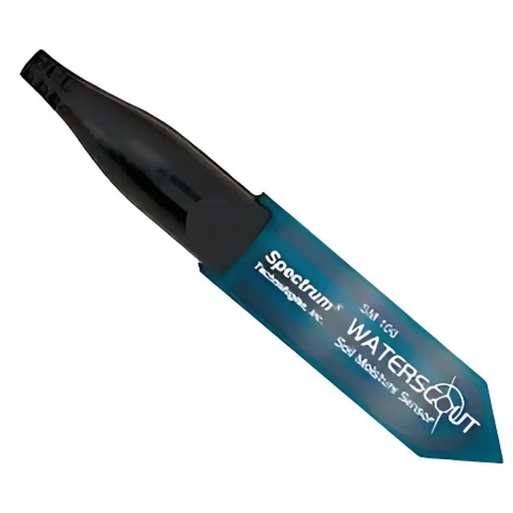
Spectrum SM-100 Portable TDR Soil Moisture Analyzer
| Origin | USA |
|---|---|
| Manufacturer Type | Authorized Distributor |
| Origin Category | Imported |
| Model | SM-100 |
| Instrument Type | Soil Water Content / Matric Potential Analyzer |
| Measurement Principle | Time-Domain Reflectometry (TDR) |
| Range | 0–Saturation (volumetric water content, VWC) |
| Accuracy | ±3.0% (for EC < 2 dS/m and clay content < 30%) |
| Resolution | 1.0% VWC |
| Power Supply | 4 × AAA alkaline batteries |
| Data Storage Capacity | 2,700 readings (1,250 with integrated GPS module) |
| Battery Life | Approx. 12 months under typical field use |
| Weight | 1.36 kg |
| Probe Dimensions | 10.41 cm × 7.11 cm × 1.78 cm |
| Display Unit Dimensions | 10.5 cm × 7.0 cm × 1.8 cm |
| Probe Needle Specifications | 0.5 cm diameter, 3.3 cm inter-needle spacing |
| Optional Probe Lengths | 3.8 cm, 7.5 cm, 12 cm, and 20 cm |
| Measurement Outputs | Volumetric Water Content (VWC) and Relative Water Content (RWC) |
Overview
The Spectrum SM-100 is a field-deployable, handheld time-domain reflectometry (TDR) soil moisture analyzer engineered for rapid, non-destructive quantification of volumetric water content (VWC) in situ. Unlike capacitance-based or resistance-type sensors, the SM-100 employs high-frequency electromagnetic pulse propagation along parallel stainless-steel rods to measure the dielectric permittivity of the surrounding soil matrix—directly correlating to water content with minimal sensitivity to salinity or texture under defined operational limits (EC < 2 dS/m; clay < 30%). Its compact architecture integrates a calibrated TDR circuit, real-time signal processing unit, and backlit LCD interface into a single ergonomic housing, enabling direct readout without external software or laptop dependency. Designed for continuity with established soil hydrology protocols, the SM-100 delivers traceable, repeatable measurements aligned with ASTM D5957 and ISO 11274 standards for field soil water characterization.
Key Features
- True TDR-based measurement principle—immune to electrode polarization and drift common in impedance-based systems
- On-device calculation of both volumetric water content (VWC) and relative water content (RWC), supporting irrigation scheduling and drought stress assessment
- Modular probe system with four interchangeable lengths (3.8 cm, 7.5 cm, 12 cm, 20 cm) to accommodate shallow-rooted crops, deep-profile monitoring, or layered soil horizon analysis
- Integrated GPS logging option (optional firmware-enabled) for georeferenced data capture—critical for spatial soil moisture mapping and GIS integration
- Ruggedized IP65-rated enclosure with rubberized grip and sealed electronics, validated for operation across −10 °C to +50 °C ambient conditions
- Low-power TDR circuitry optimized for extended battery life—up to 12 months on standard AAA alkaline cells under average usage (≈50 readings/day)
Sample Compatibility & Compliance
The SM-100 is validated for mineral soils with electrical conductivity ≤ 2 dS/m and clay fraction ≤ 30% by mass. Performance remains stable in sandy loam, silt loam, and gravelly substrates; however, calibration adjustments are recommended for high-organic-matter soils (>15% OM) or volcanic ash-derived profiles due to anomalous dielectric responses. The instrument complies with IEC 61326-1 for electromagnetic compatibility in industrial environments and meets CE marking requirements for portable electronic instrumentation. All firmware and data handling routines support audit-ready metadata tagging—including timestamp, probe ID, operator code, and location coordinates (when GPS enabled)—to satisfy GLP-compliant field data collection workflows per FDA 21 CFR Part 11 Annex 11 guidance.
Software & Data Management
Raw TDR waveform data and processed VWC/RWC values are stored internally in non-volatile memory (2,700 entries standard; 1,250 when GPS-tagged). Data export occurs via USB-C interface using Spectrum’s proprietary SoilView™ Desktop Utility (Windows/macOS compatible), which supports batch CSV export, time-series visualization, depth-profile overlays, and automated report generation with customizable templates. The utility enforces role-based access control, encrypted local storage, and full change-log tracking for all calibration updates or configuration modifications—ensuring data integrity throughout the analytical chain from field acquisition to regulatory submission.
Applications
- Irrigation management in precision agriculture—real-time feedback for drip/sprinkler scheduling and water-use efficiency optimization
- Ecological research on plant–soil water relations, including root-zone depletion modeling and evapotranspiration partitioning studies
- Environmental site assessment for landfill cover performance, phytoremediation monitoring, and vadose zone contaminant transport modeling
- Soil physics laboratories conducting infiltration experiments, hydraulic conductivity estimation, and pedotransfer function validation
- Government and NGO-led soil health initiatives requiring standardized, field-portable VWC baselines across heterogeneous landscapes
FAQ
What is the maximum soil electrical conductivity (EC) the SM-100 can reliably measure at?
The instrument maintains stated accuracy (±3.0% VWC) up to 2 dS/m bulk soil EC. Above this threshold, signal attenuation increases; users should apply empirical correction factors or switch to EC-compensated TDR models.
Can the SM-100 be used in frozen or saturated soils?
No. Ice formation disrupts dielectric response linearity, and standing water above the probe tips invalidates TDR interpretation. Measurements should be restricted to unsaturated, thawed, and aerated soil conditions.
Is factory recalibration required annually?
While no mandatory annual recalibration is specified, Spectrum recommends verification against gravimetric standards every 12–18 months or after 5,000 field readings—especially following mechanical shock or exposure to extreme thermal cycling.
Does the SM-100 support third-party GIS platforms?
Yes. Exported CSV files include WGS84 latitude/longitude fields (when GPS enabled), allowing direct import into QGIS, ArcGIS Pro, or ENVI for spatial interpolation and kriging-based moisture surface modeling.


